

Backpacking the Skyline to the Sea Trail
NOTICE: A Wildfire Ravaged Big Basin State Park in August 2020 and the Skyline to Sea Trail is CLOSED until further notice.
If you live in the Bay Area, and especially if you drive on Highway 280 frequently, you are used to seeing the Santa Cruz Mountains from afar. I have always been enchanted by these mountains from the highway, and always wanted to hike in them. While there are plenty of Open Space Preserves in the area, I think the best way to adventure is by backpacking. So with some good luck, I managed to reserve the last open spots in the backcountry camps on the Skyline to the Sea Trail, and check this famous bay area backpacking trail off of my bucket list!
STATS

Date: 11.17.17 - 11.19.17
Miles: 25 mi? (My GPS put it at 24.6, but the official mileage is 29.1)
Elevation Profile: +2,800, -5,400 ft
Trail Type: Point-to-point
Cost: $15 per campsite + $8 reservation fee ($38 total)
Special considerations: Animal-proof storage canister required for Waterman Gap Campground

LOGISTICS
Getting a permit:
The permit system for the Santa Cruz Mountains was different than any other system I've previously used. For the most comprehensive information, visit Big Basin's trail camp page. Basically, you'll need to open up their reservation calendar and click on the date you want to spend the night. The schedule will show the number of campsites available that night in parentheses. Then, you need to send an electronic camp request form. You'll be informed by email if your request was approved or denied. You'll need to call the phone number provided in the email to confirm dates, review campground regulations, and provide payment. For myself, I was emailed the next business day. The ranger will also ask you about transportation and how many parking permits you need. The first parking permit is free, and any additional permits will cost more ($8/vehicle/night at Castle Rock State Park and $10/vehicle/night at Rancho del Oso - Waddell Beach).
Transportation:
With all point-to-point hikes, the main problem is transportation. How do you get back to your parked car from the end of the trip? For the Skyline to the Sea trail, you don't have many options. There used to be a bus from Waddell Beach to the Big Basin HQ, but has been out of service since September 2016.
Option 1: Two cars
The most convenient option by far if you don't mind driving, you have a partner, and you don't have someone to pick you up. Both should drive to Waddell Beach (and park in the backpacker's parking lot, which is at the official trailhead (aka NOT on Highway 1 - you'll have to open the gate)), then drive to Castle Rock State Park. Doing this requires you start in Castle Rock State Park and take the Castle Rock route to Waterman Gap instead of the "official" starting point at Saratoga Gap (intersection of Highways 35 & 9).
Option 2: A Trail Angel's kindness
This is the option my mom and I opted for, since my dad offered to drive us to Saratoga Gap our first day, and pick us up from Waddell Beach our last day. This was very awesome, because we didn't have to drive between parked cars. There was no cell phone service after the first day, however, so you must communicate with your driver beforehand, or have a satellite messenger to discuss pick-up times. Luckily, we ended at our pre-arranged pick-up time, because my dad didn't receive the last text from the satellite messenger about our progress & timing.
You could always try hitchhiking, but I wouldn't rely on this method at all. You'd have to find a very generous individual to drive you all the way back to Castle Rock, which is really out of the way if the driver is on Highway 1.
THE HIKE
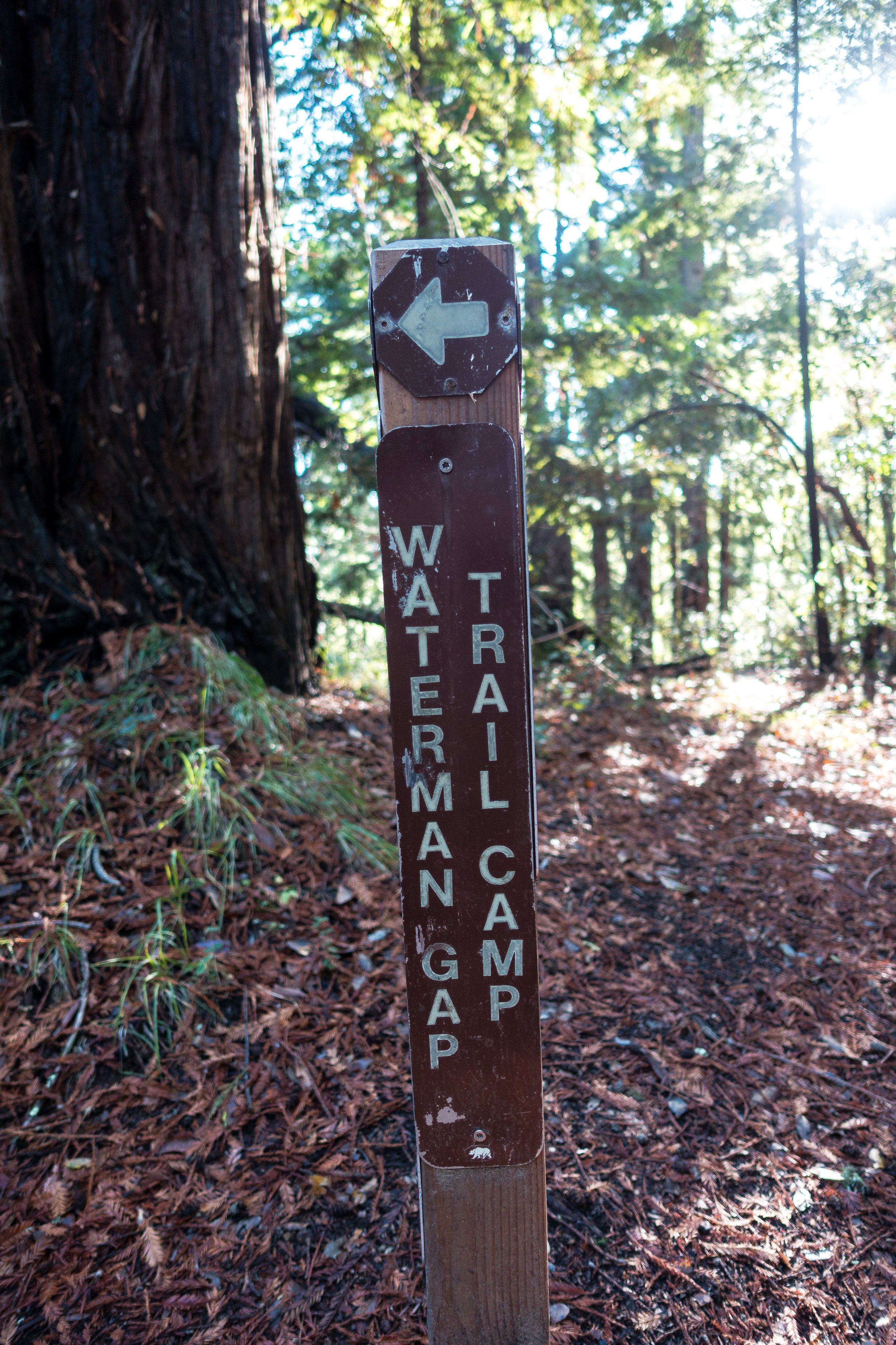
Day One: Saratoga Gap to Waterman Gap Campground, 6 mi

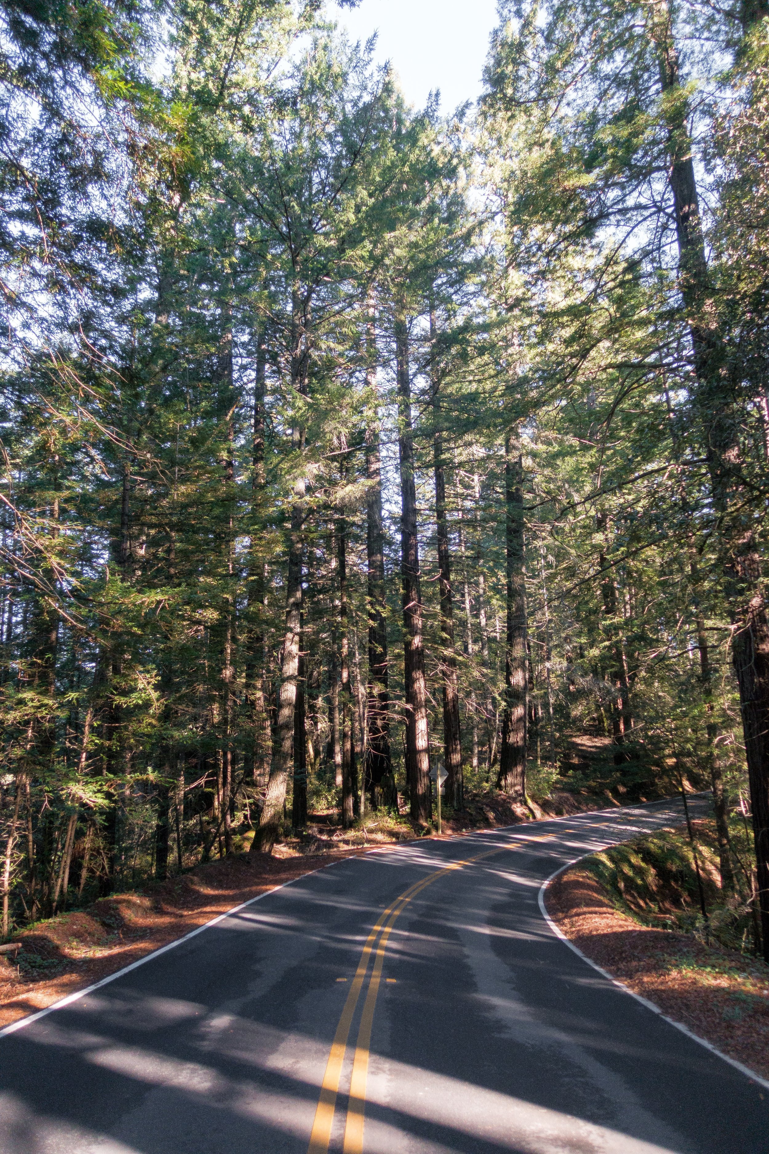
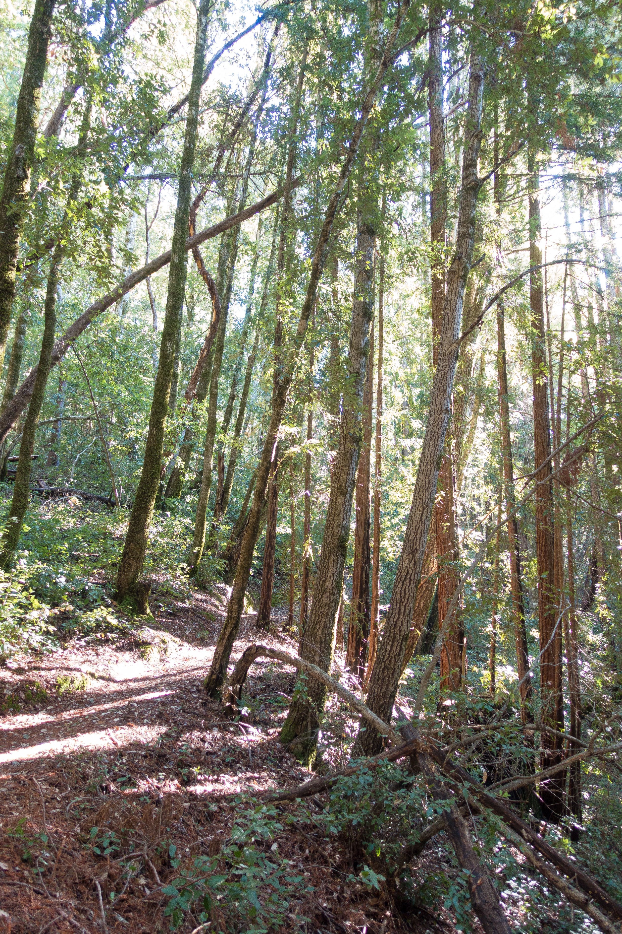
We decided to start at the "official" start: the Saratoga Gap trailhead, since we had both hiked in Castle Rock State park before. Started the day at 11 am. Dad dropped us off at the trailhead, we said goodbye to him and our puppies and headed off! Mostly flat and downhill hiking with some steep uphills, mainly when we were meeting up with hwy 9 or a service road.

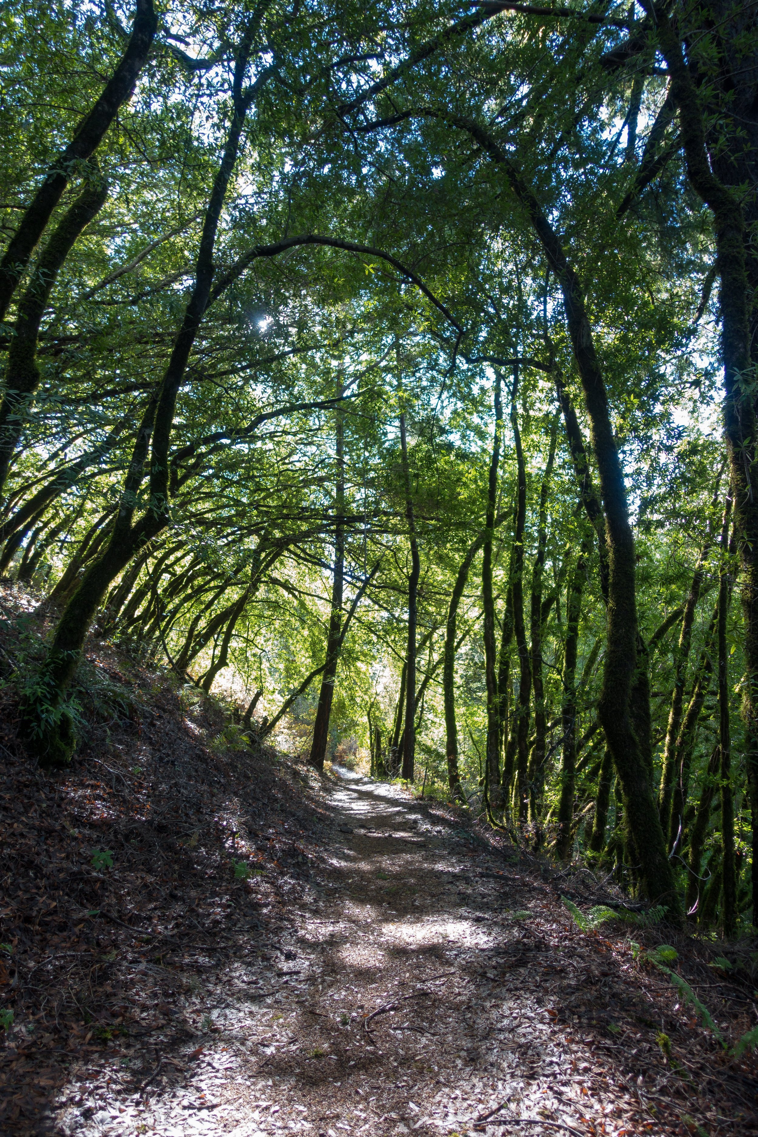
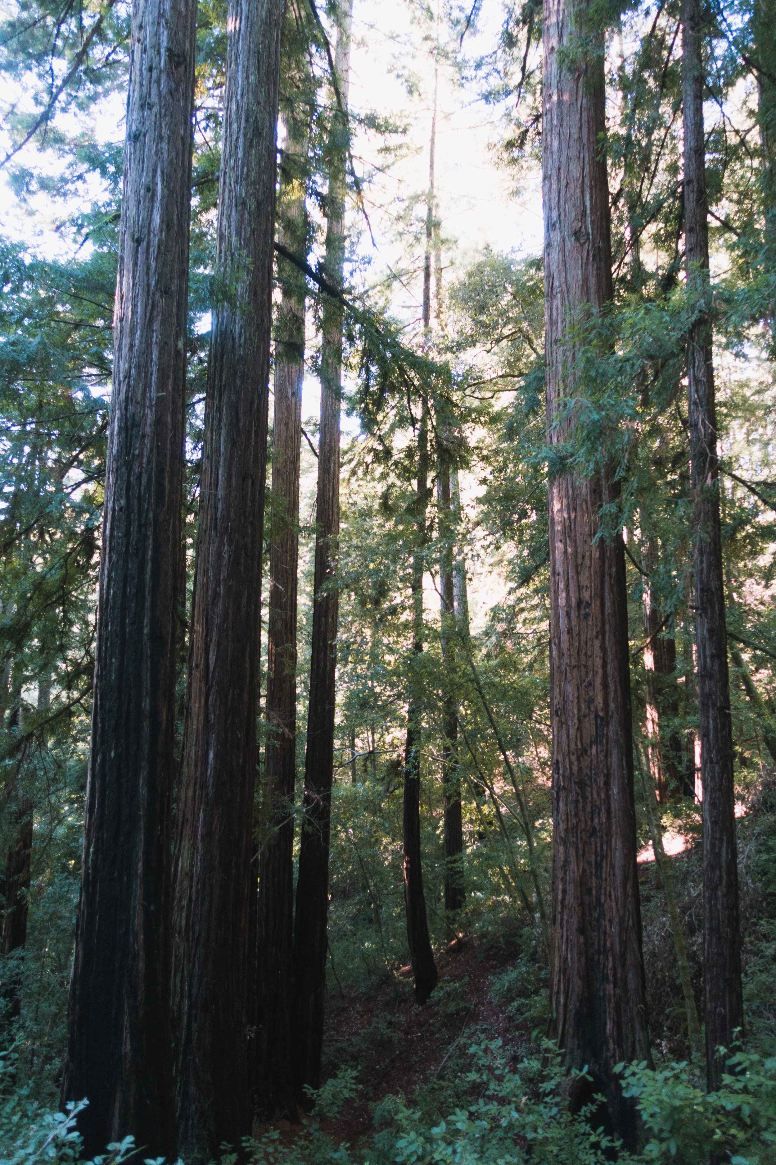
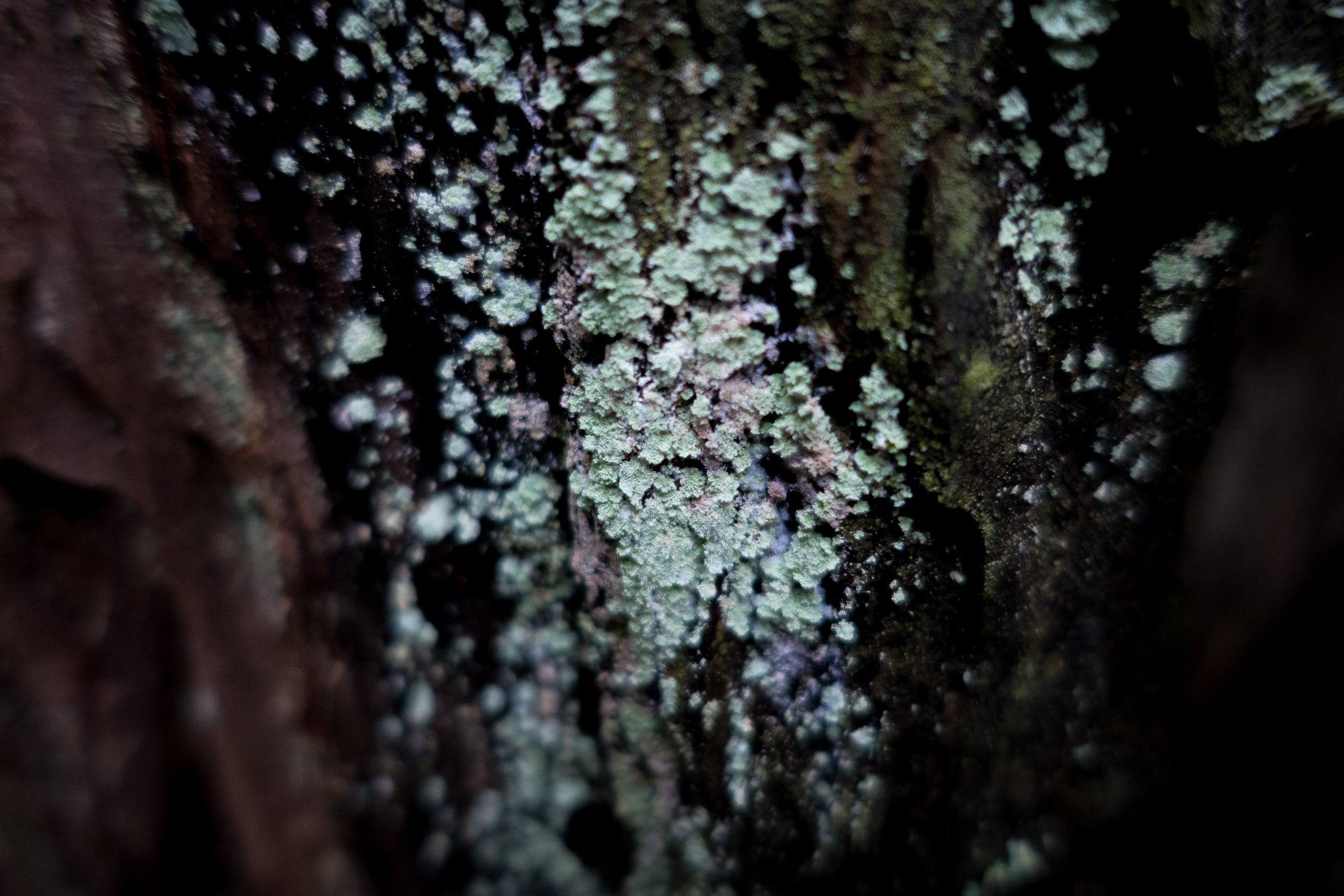
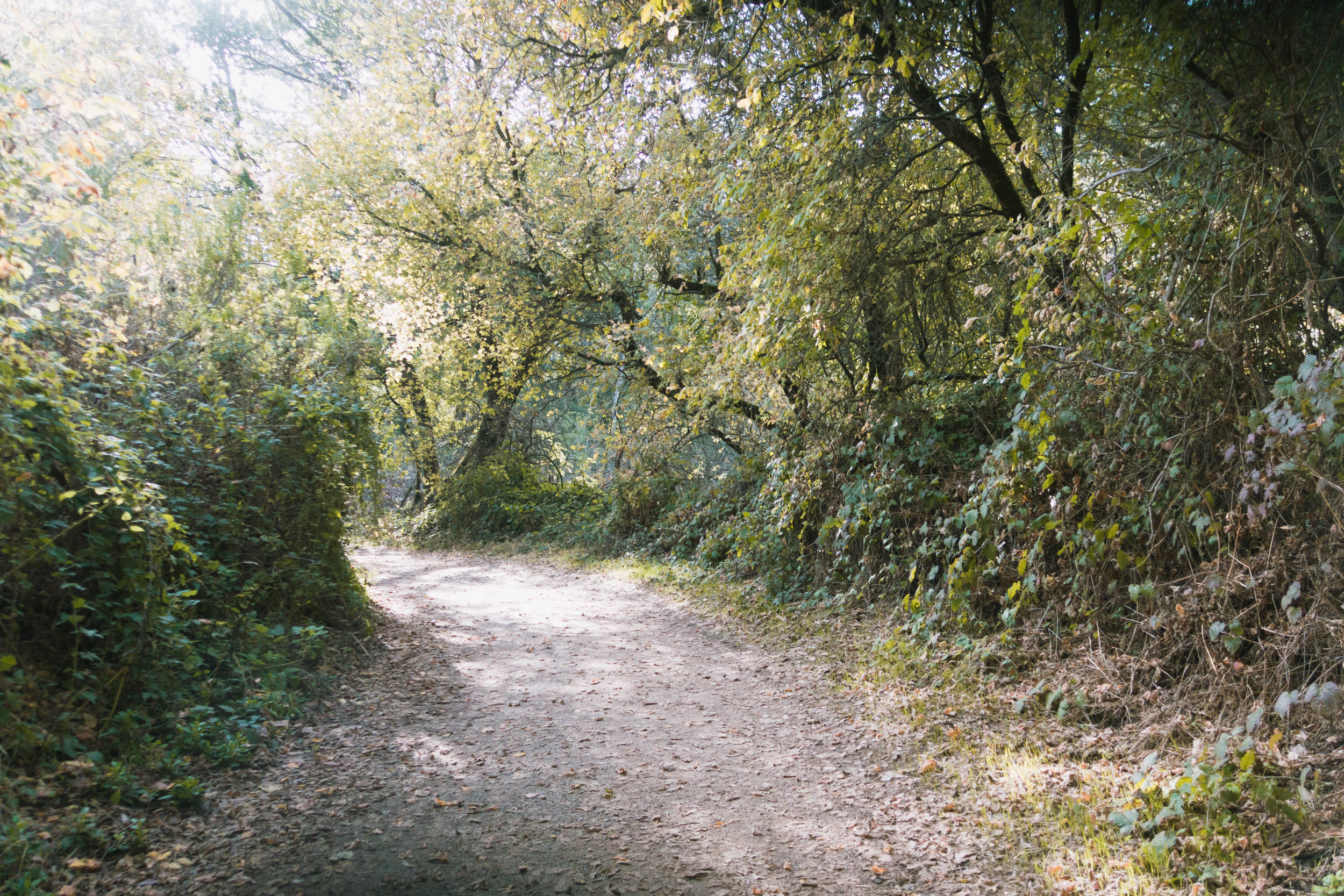
It was definitely chilly- probably in the low 50s in the shade, which we were in the majority of the time. Only a few spots where we were able to bask in the sun and warm up. The trees are so pretty. Lots of moss and lichen on them, and lots of ferns flanking the trail. Everything smells so good because of the big storm yesterday, and surprisingly the trail was pretty dry. No crazy flooding or super muddy areas. The ground soaked up all the water it could get!

We passed a wide open vista at Sempervirens Point and took our first snack and potty break at the pit toilets and I was fiddling with my inReach - I forgot to sync it after re-subscribing to it so I wasn't sure if messages were going through. Note to self: always sync the device on a computer before going on a trip!


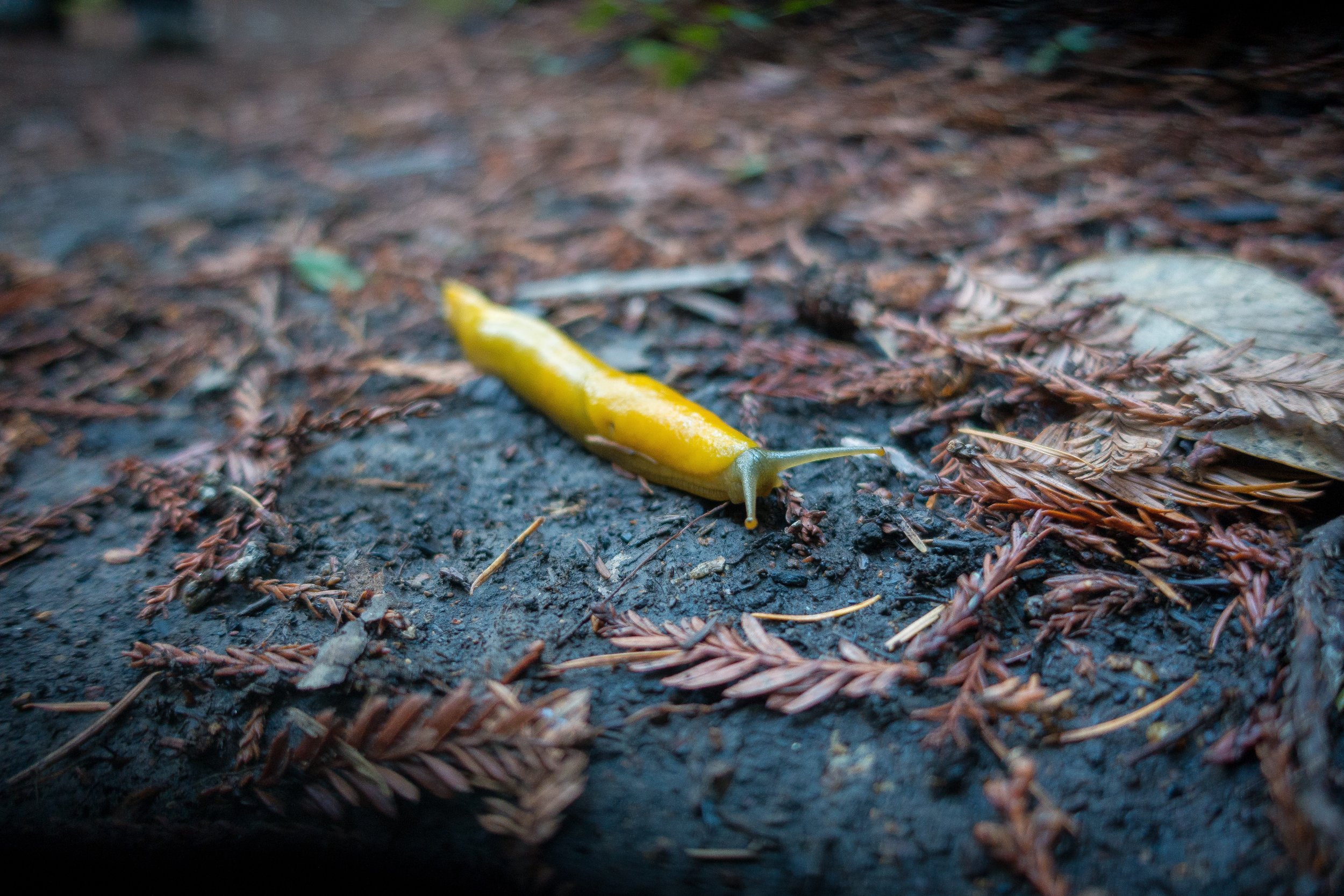
The trail paralleled hwy 9 for most of the day, however the traffic noise was not bad. Only the occasional car driving by. The gunfire from the shooting range was more apparent, though we were expecting this so it wasn’t as annoying as it could have been. We saw a lot more redwoods once we started descending into the campground. Most of the other trees we saw were oaks, and we saw many chestnuts cracked open on the ground! Not too much wildlife: heard some birds and there was a banana slug in our campground.

The weirdest part of the trail was seeing all of the cars (about 4!) that had veered off the road and crashed into the trees! It was a little ominous considering we could hear traffic on the road above us. We hoped no one would crash down when we were hiking!

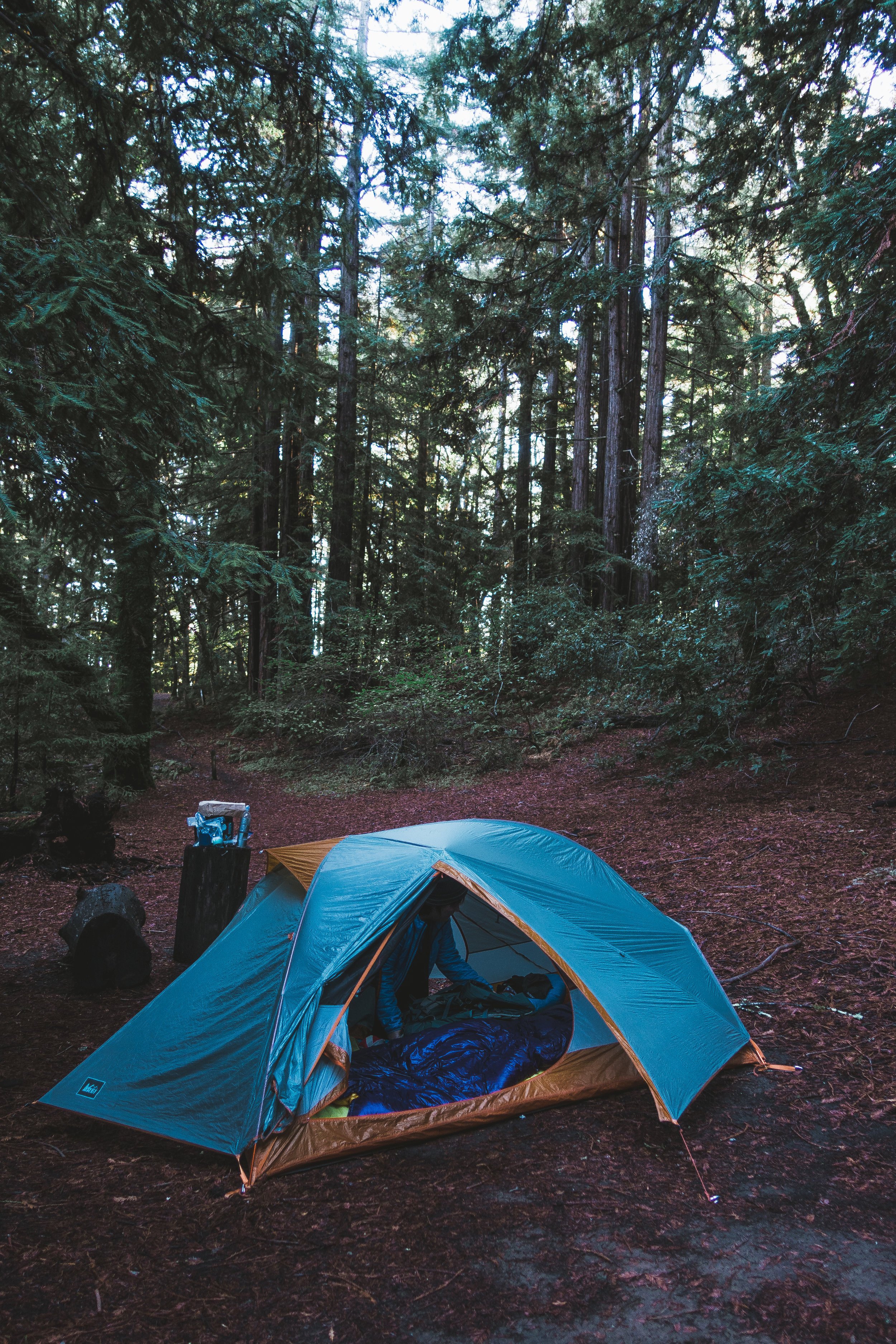
We got to camp at around 2:45. We feel like we’re glamping because there’s potable water and a pit toilet here, and we have cell phone service! And we got a campsite that is more removed from the others. We have our own redwood grove and it’s really nice and we don’t have to smell the toilet!
The sun is setting fast. We feel like it’s been so dark all day today because of all the trees and it’s 4:30 and the sun is definitely setting! It’s weird bc I’ve never camped when it’s not daylight savings time. It’s probably going to get in the high 30s tonight, so it will be a good test for my new quilt! Too bad I left the strap system at home accidentally. Oh well. Since we got to camp so early, and we weren't tired, and we had cell phone service, and the sun set so early, we watched a few episodes of Parks & Recreation on Netflix on my phone before trying to sleep at 8 pm.

Day Two: Waterman Gap Campground to Jay Camp at Big Basin HQ, 9.5 miles
Slept really warm last night in my quilt! Very happy with that. It probably only got into the low 40s/ high 30s, but if my arms were out of the quilt they were cold, and warm if inside. I really love it! Our sleep setup was slanted and we kept moving but it was fine. It always takes me a long time to fall asleep my first night camping. Hopefully tonight will be better. We left at 8:40, a late start but we only had 9.5 miles to go. Today was really pretty. The trail was close to the road for the first 3.5 miles and went onto developed property & crosses the road sometimes but it wasn’t too bad. It could still feel peaceful, and there weren’t too many cars.
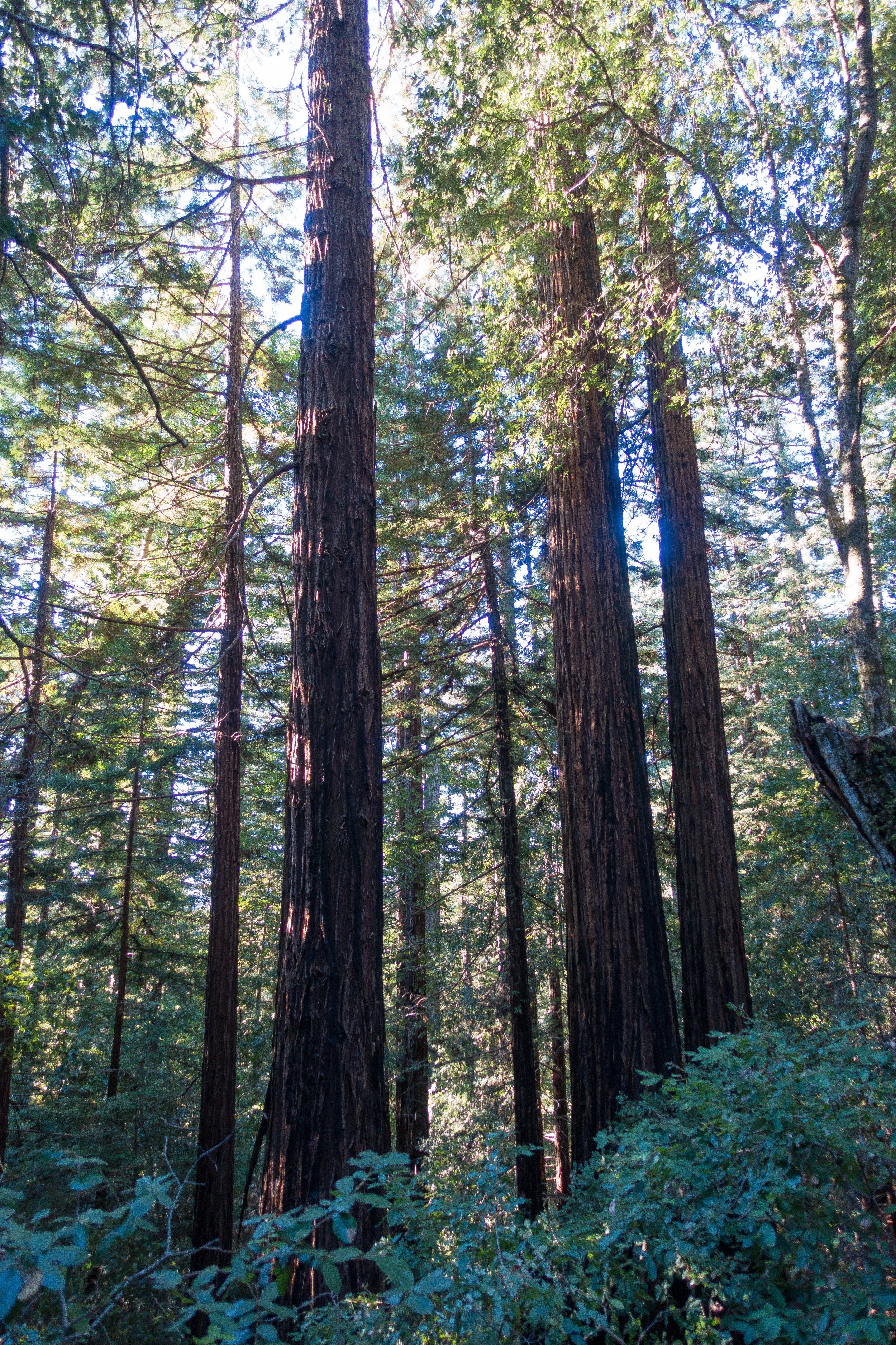
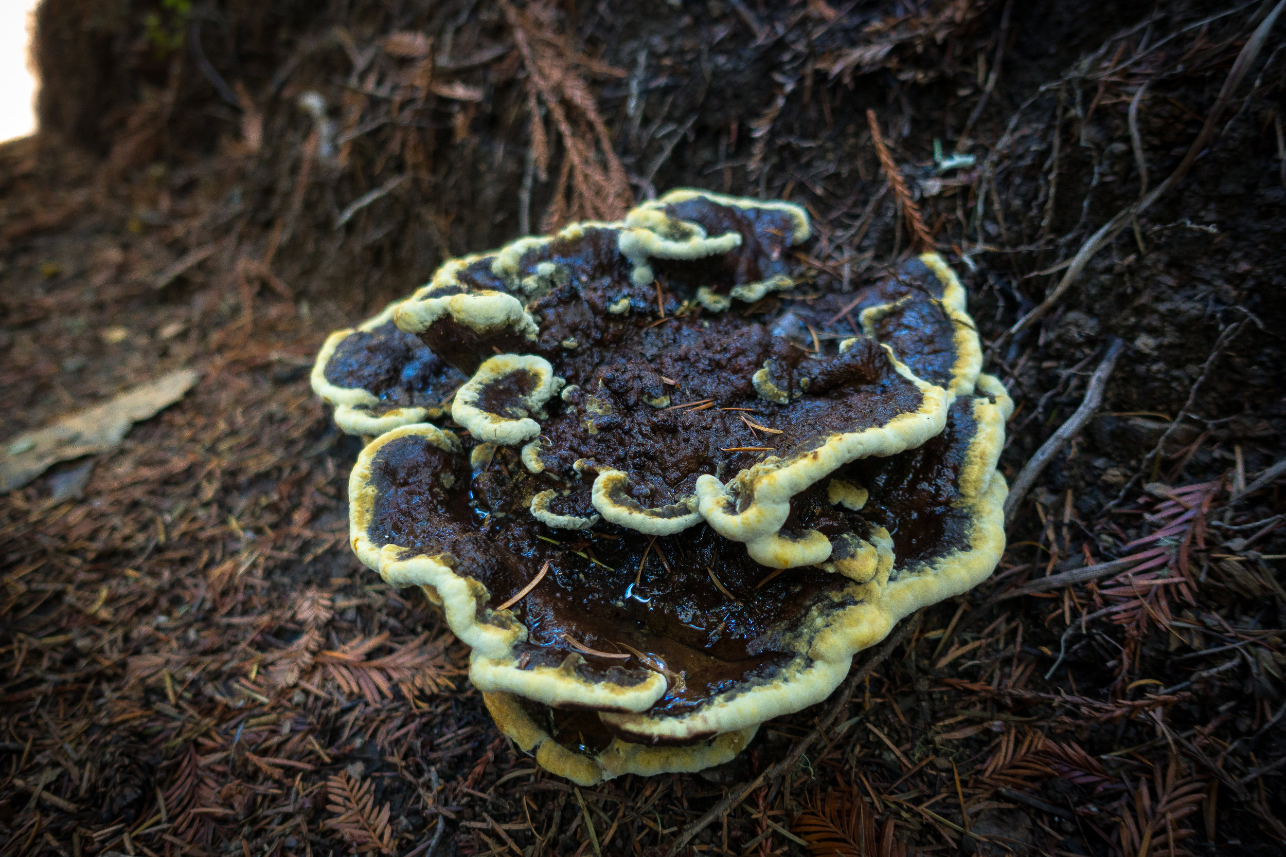
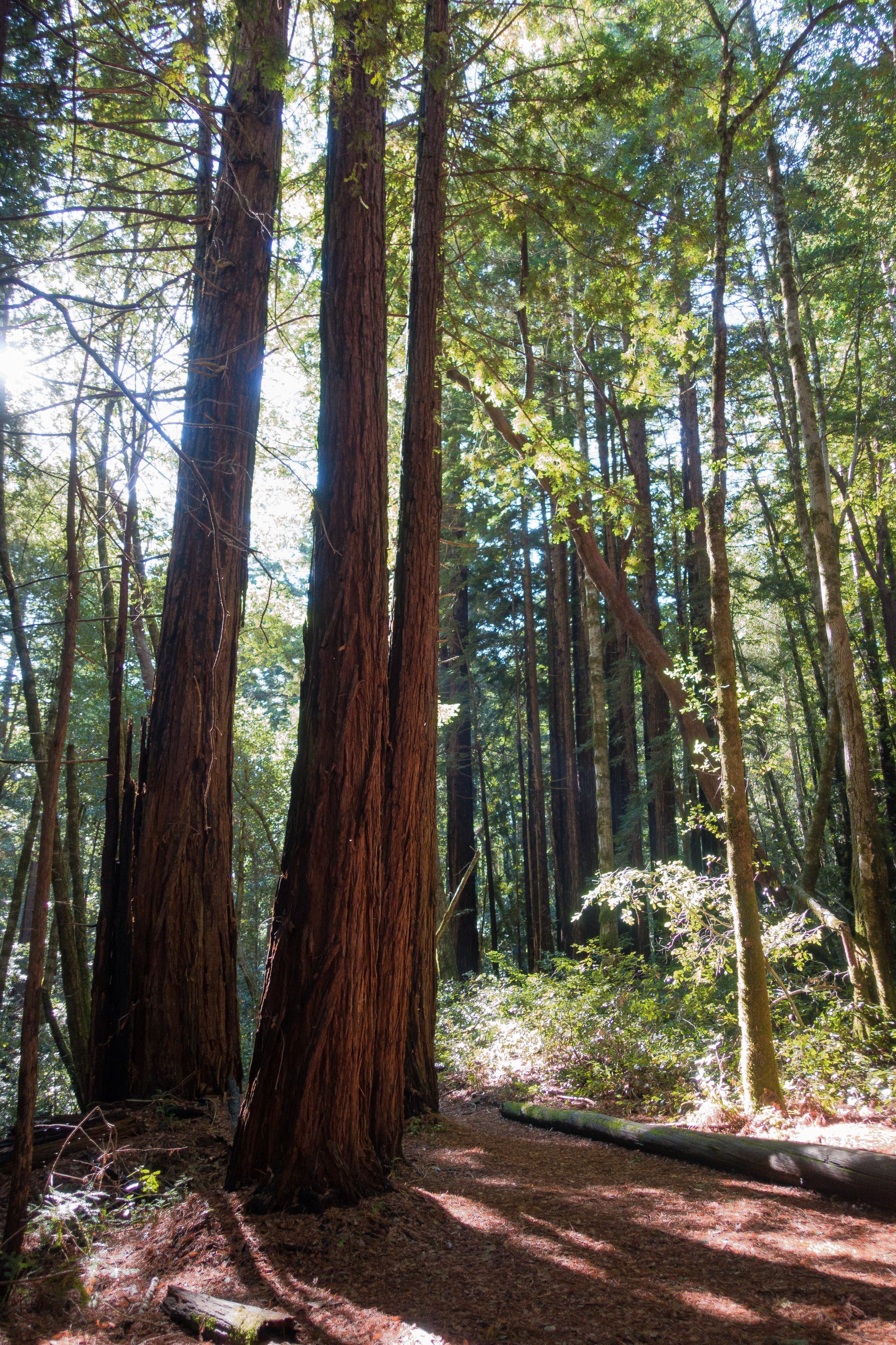
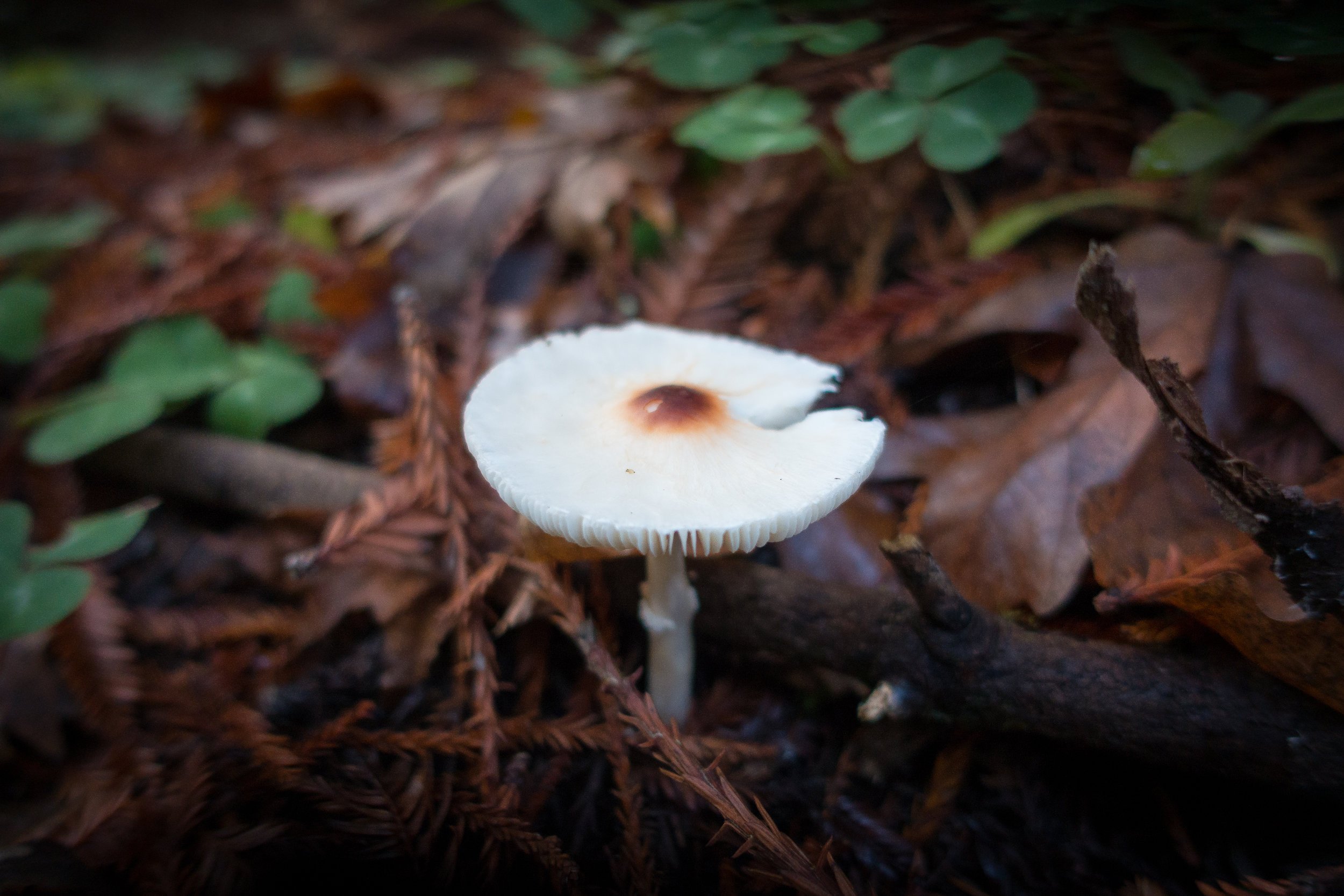
Lots of up & down the first few miles. We saw lots of redwoods today - they are so big and pretty! And we saw more interesting things: cool fungi and more banana slugs!
And we had a little more sun than yesterday. After 5 miles the trail totally changed into chaparral and some sort of pine tree. Some interesting rocks too with nice views of the Santa Cruz mtns! It was so pretty and we found a nice flat rock off trail to eat a real lunch at. This is where we finally felt like we got into the backcountry: no more car noise and crossing the road a bunch of times!


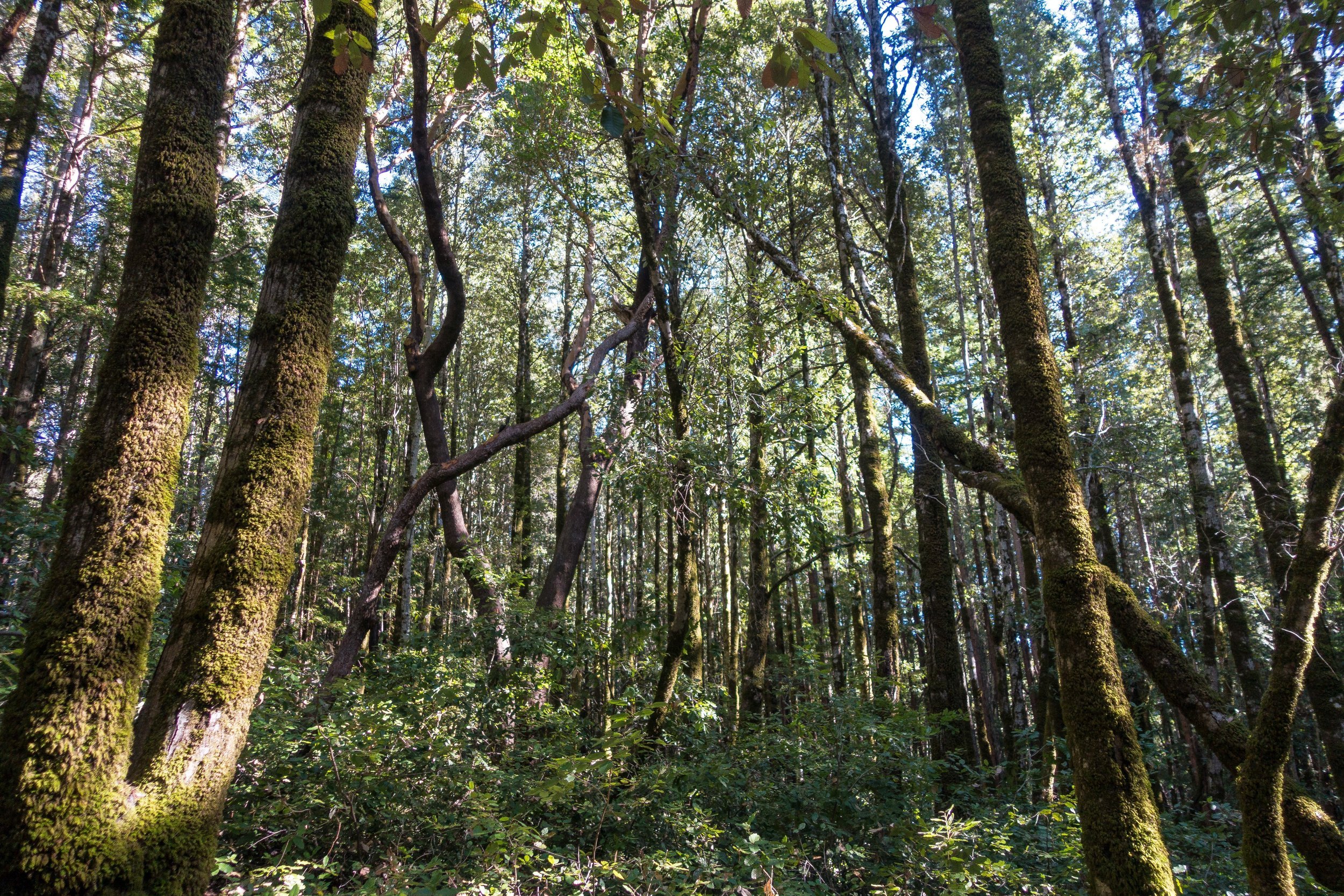
We got back into the forest and again sooo many trees! Lots of burnt redwoods too with tiny saplings all around them. New life! The trail got kinda rooty and slippery- and we finally crossed some water on little footbridges. The creek was really nice and there were so many more redwoods along it!


We walked the road/ trail to the headquarters and got some intel about the section of closed trail tomorrow (the Skyline to the Sea trail was closed for 0.5 miles and a detour on other trails was required - and we saw why once we rejoined the trail: the closed part of trail didn't even look like a trail! So many downed trees) and then made our way to Jay camp to set up! We are surrounded by redwoods- even have a little grove in our campsite! Everything is so lush and green. We were so lucky with the weather!


We keep getting to camp early (3 pm today) and we don’t have anything to do lol. We are eating chili Mac tonight. Yum! Jay camp has flush toilets and showers??? Whaaatt. Definitely feels like glamping. The flush toilets with TP are nice. Big basin is definitely very built up. Lots of amenities. It’s weird though bc our camp is right next to a road, just like last night. I don’t really feel like I’m in the woods. Too close to civilization, lots of cars have driven by and even a really loud airplane. This is definitely a good beginner backpacking trail- doesn’t feel/ isn’t too far removed from society. It’s my first backpacking trip I’ve felt so close to home/ civilization. Point Reyes even felt less developed.

Day 3: Jay Camp to Waddell Beach, 12ish miles
We got going a little earlier this morning, at 8 am. We made our way back through the Park Headquarters and to the Redwood trail, which lead back to the main trail (it was slightly confusing at the time).

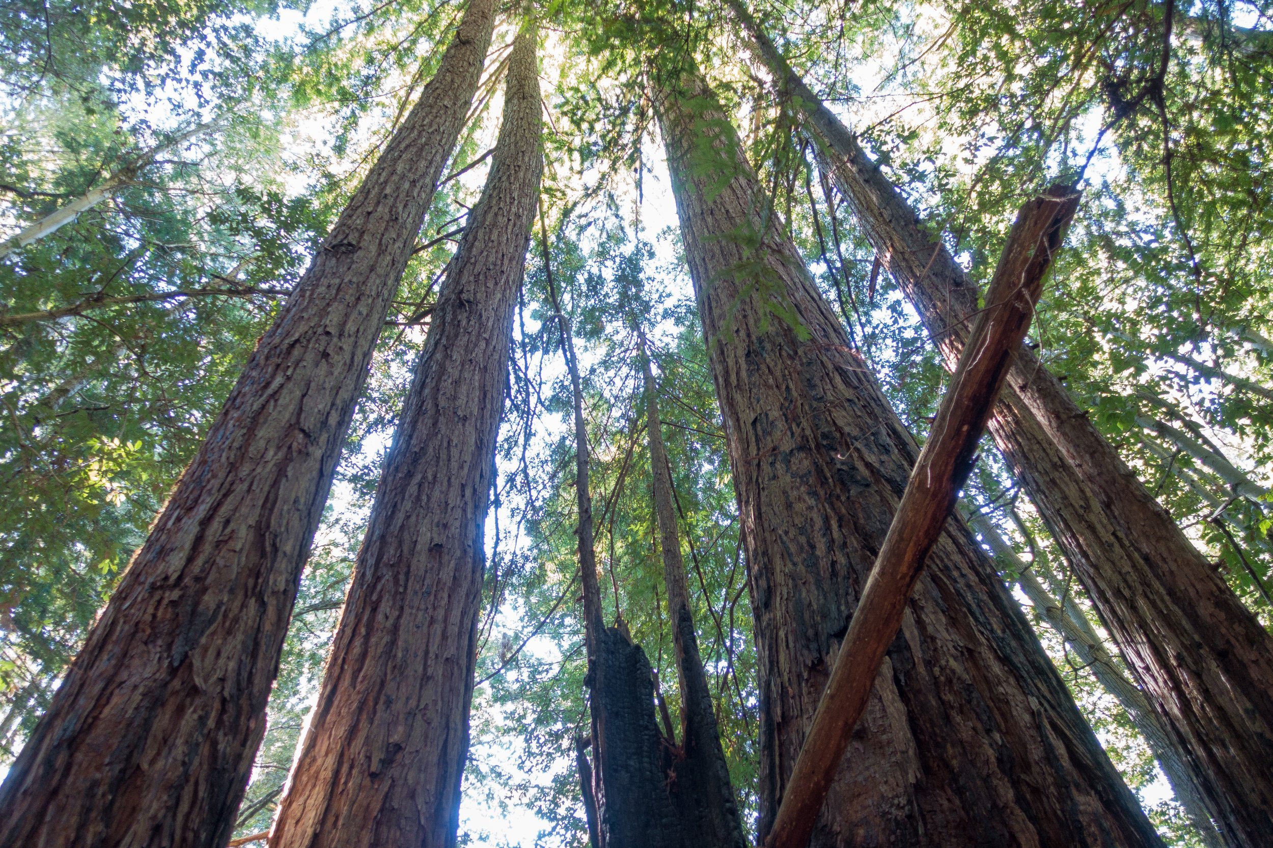
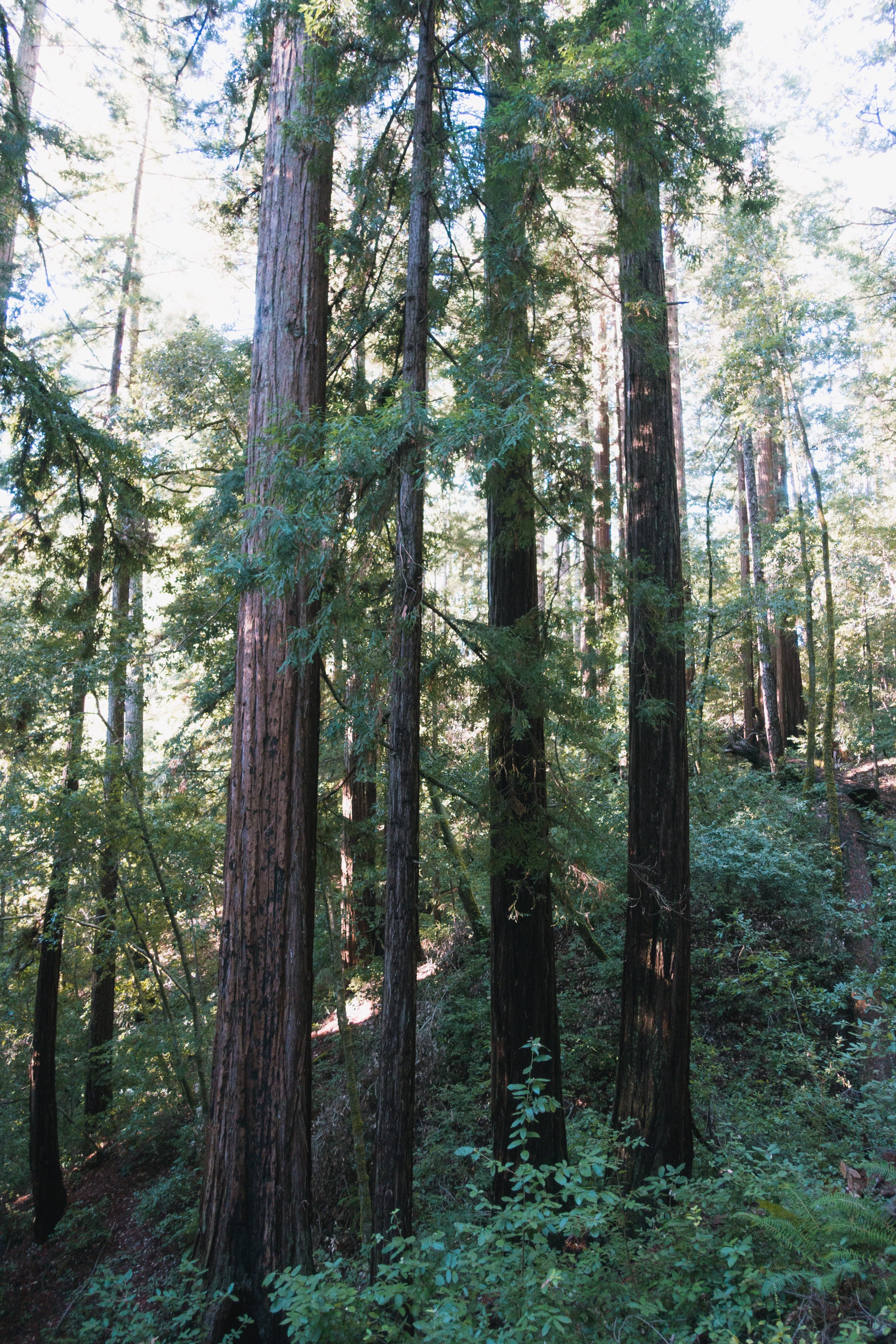
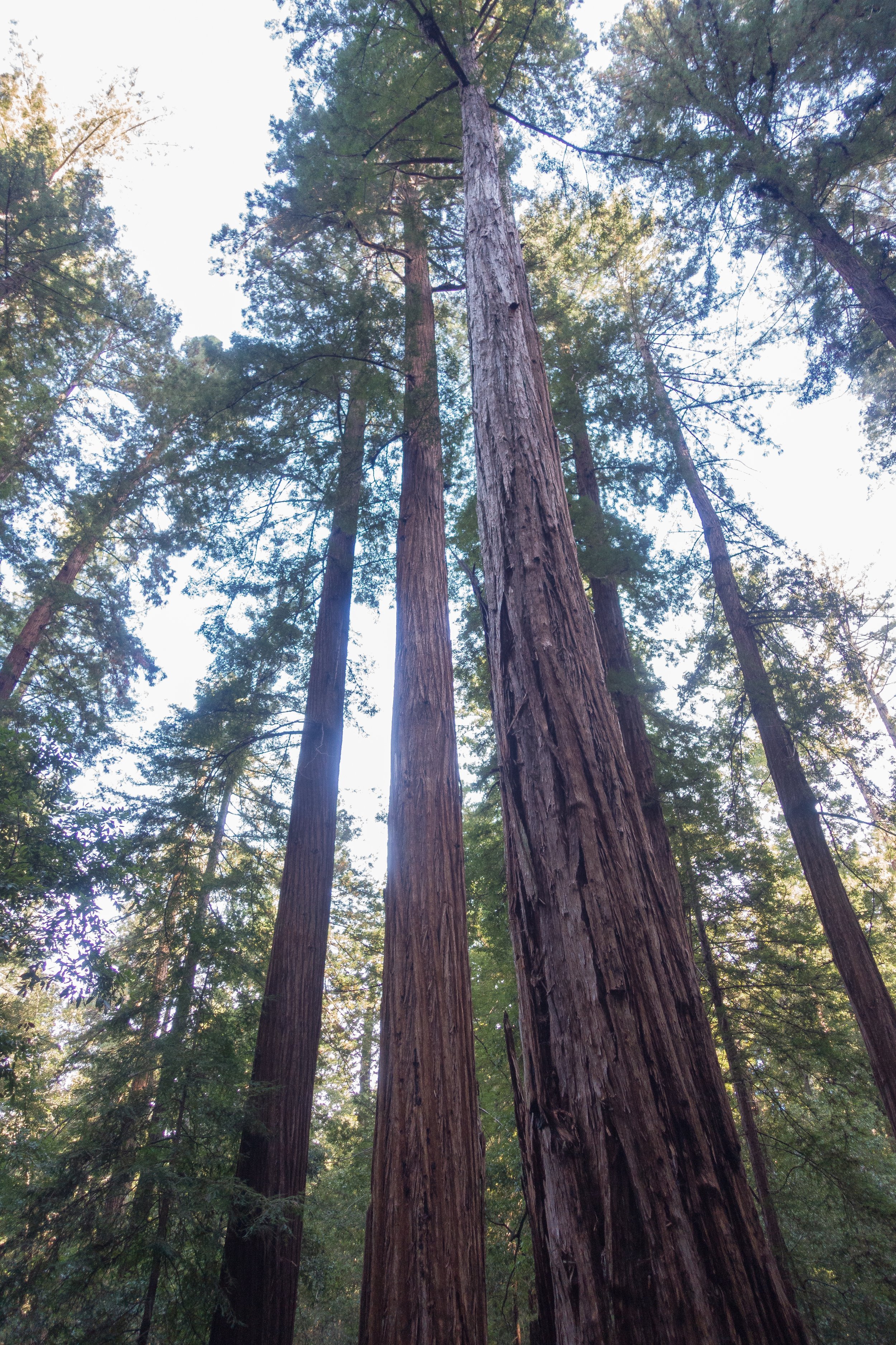
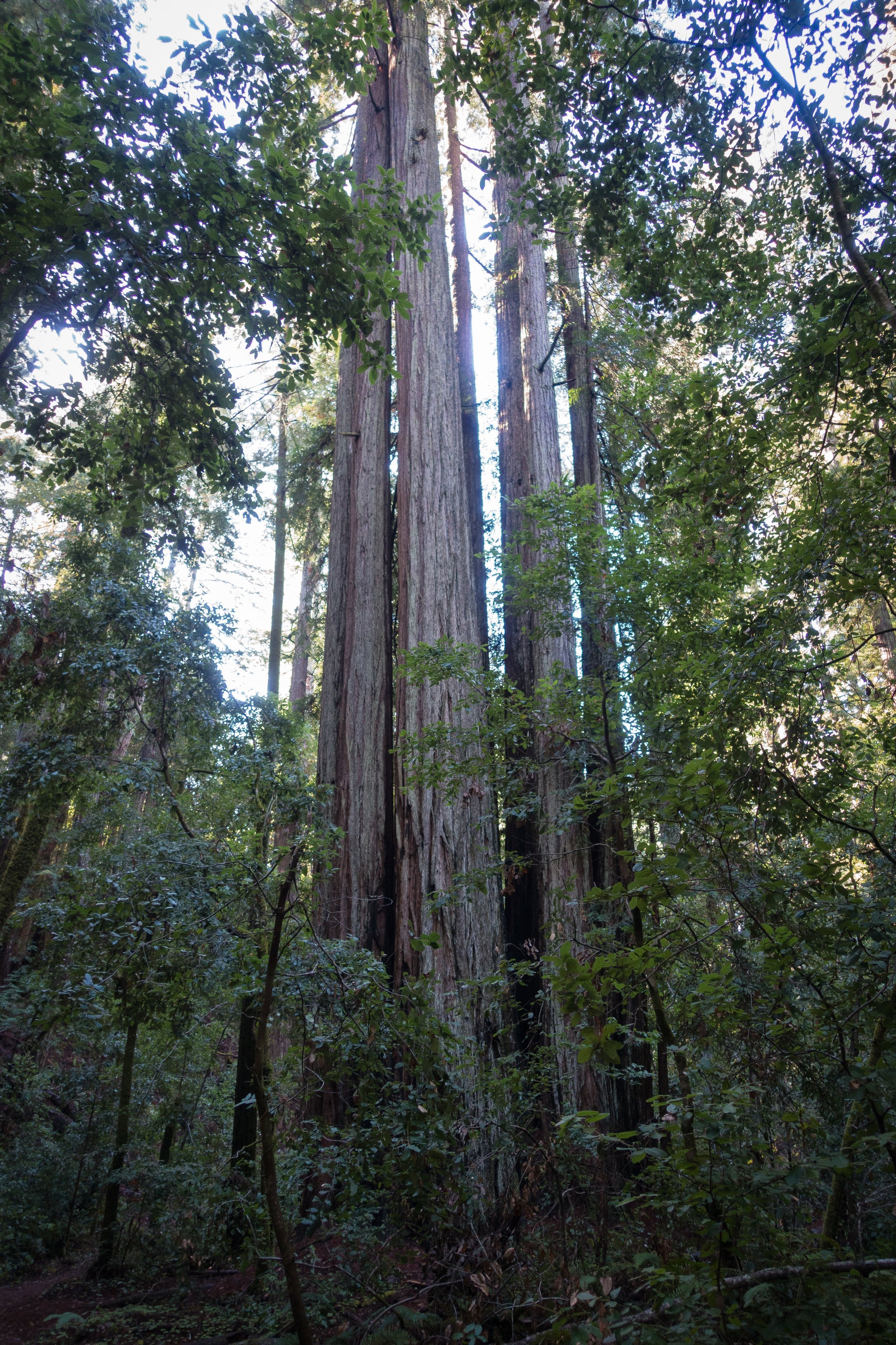
We immediately started climbing up through the redwood trees. We probably gained around 800-1,000 ft first thing, and then the rest was downhill. The trees were even more spectacular today then yesterday. The biggest and prettiest redwoods are definitely closest to the Big Basin HQ.
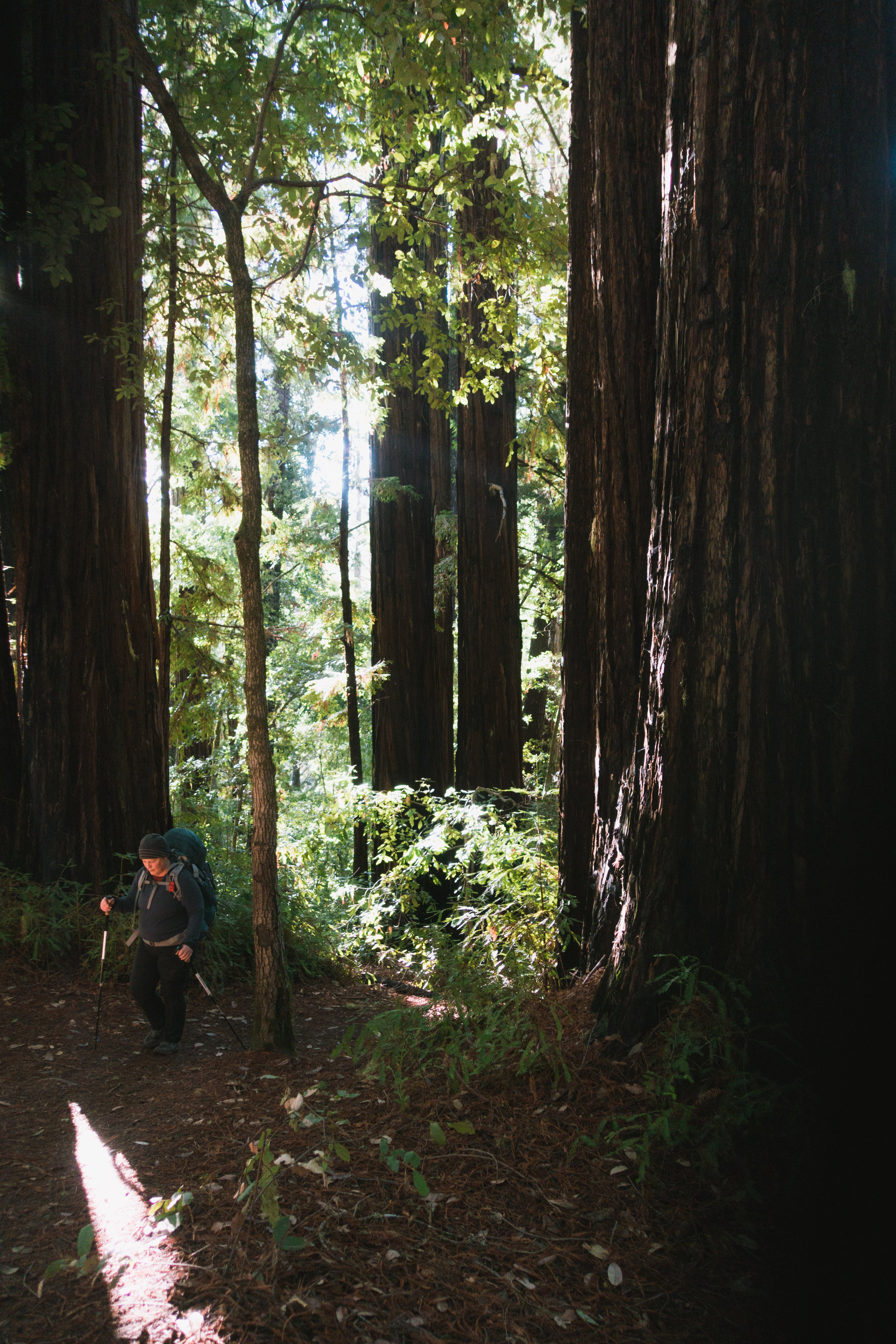
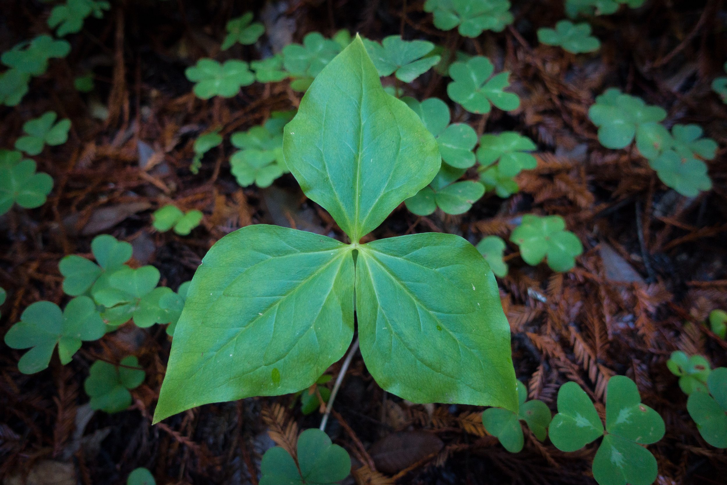
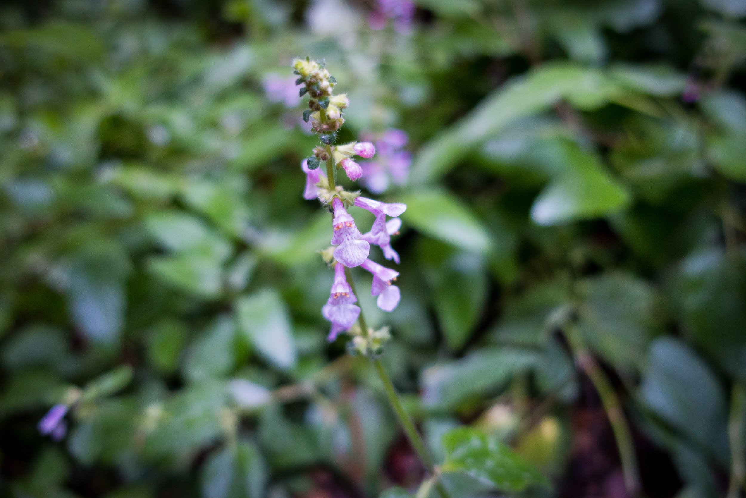
This was my first backpacking trip that was mainly in the forest. I've been spoiled by the wide open vistas and granite of Yosemite, so I took extra time to appreciate the small details of the forest: banana slugs, lichen, and other plants.

The trees were so massive and we were savoring the last day of our redwood-filled weekend.


The trail started to steeply descend, and we knew we must be getting close to Berry Creek Falls, the only waterfall we would see on the hike. It was a really nice waterfall, and I took 2 really bad pictures of it while I scarfed down my spicy tuna packet lunch. One day, I'll be back to do the full Berry Creek Falls loop.


After we passed the falls, I felt like we were half way done with the day, but we actually were not. The rest of the hike wasn't too bad, but we had to share the trail with mountain bikers, which was annoying. There's also a mental switch in my mind when I move from a narrow hiking trail to a wide multi-use trail: it doesn't feel like hiking anymore for some reason! It was still really pretty - plenty of redwoods still, but mostly other trees.


The trail was mainly in the forest until the last 1.5 miles, when it opened up into chaparral, and we got views of the mountains that we had been hiking through. We took the non-hiker route on the pavement since we were cutting it close to our pick-up time and didn't want dad to wait, and the hiker-only route was flooded at the junction, so we stayed on the multi-use trail.

We made it! Dad parked in the lot at the beach, so we walked all the way to the ocean. He greeted us with the puppies and amazing artichoke bread from our favorite Pescadero bakery!


In addition to taking pictures on trail, I played around with video too! Definitely need to practice more, and take some video of other moments, but it was fun and new!
This was such a great hike that made me appreciate the nature we have close to home. It was fun to do my first point-to-point hike, it was kind of like a mini thru-hike! This is definitely a good beginner backpacking trip: the route is clearly marked, and its a good introduction to backpacking since you don't feel so far away from civilization. With AT&T, I had service almost all day on our first day (and service at the campground), but no service on days 2&3. You also go right through the Big Basin headquarters on Day 2, so you really have access to amenities: a restaurant and gift shop, plus a visitor center, and tons of people. And we were super surprised by the flush toilets at Jay Camp. There was also drinking water at both campgrounds, so we didn't have to worry about filtering water along the way (though, if you're a really thirsty person, you may consider bringing one - but there's no water sources on the first day). That being said, if you are looking for a true wilderness experience, you will not find it on this trail.
Have you hiked the Skyline to the Sea trail? Have questions? Let me know in the comments!