

Mission Peak Hike
Mission Peak is one of the most popular hikes in the Bay Area, mainly to get that iconic shot at the top of the peak, and for the sweeping views of the bay. The trail is a long and unrelenting uphill slog to the top. I hiked this twice due to the recommendation of REI employees for Half Dome training. If you do the hike twice in a row, its about the same mileage and elevation gain and loss as the hike up Half Dome!

STATS
Date: 5.22.16
Miles: 6 mi
Elevation Profile: +/- 2,180 ft
Trail Type: Out-and-Back
Cost: Free

CONSIDERATIONS
Mission Peak should not be underestimated just because it is a popular hike. The trail is 99% exposed, and since the east bay is notorious for warm, dry weather, you must be prepared to do this hike with sunscreen, cooling layers, and lots of water, as there is no water on trail, except at the parking lot.
The best time to do this hike is spring and fall, and winter if it has been a drier year. Since the last push to the summit is very steep, and has loose gravel and dirt, if it rains hard, your hike will become much more difficult at that point (muddy, slippery).
Even though this seems like a neighborhood hike, you'll want to wear proper footwear. Trail runners are fine, gym shoes are probably fine as well, though you may slip in some of the steep gravelly areas. In general, shoes with traction will be much better than without. In both of my visits, I've seen some very unhappy people in flip-flops, flats, and even heels attempting to hike this. I can't even imagine the blisters that resulted.
Please, please LEAVE NO TRACE and be courteous. The city is trying hard to push this message, but due to the popularity of the hike with everybody, LNT ethics are lost amongst the masses. I've seen trash, wrappers, orange & banana peels (no, they won't biodegrade, people!), and used toilet paper on the trail (# 1&2). I've seen people riding bikes irresponsibly, even though hikers have the right of way. I've been around 5 different groups of people all blaring their different and equally terrible music from speakers at the same time. If everyone would just be considerate of the environment and other trail users, we wouldn't have this problem. But in the meantime, consider bringing a garbage bag and a glove to help clean up the trail. Maybe if users see people care, they'll be more likely to not litter & treat the trail with respect.
The most popular starting point (and the below description) is from the Stanford Ave staging area. Here you will find a tiny parking lot (maybe 20 spaces), port-a-pottys, and a drinking fountain. Unless you arrive before 7 am or after 4 pm, or on a weekday, you will have a very difficult time finding a parking spot. You'll need to park on the surrounding neighborhood streets, which can add extra mileage and elevation gain. Another option is to park at the Ohlone College parking area, which is what the city recommends, and is a slightly easier hike to the top.
THE HIKE
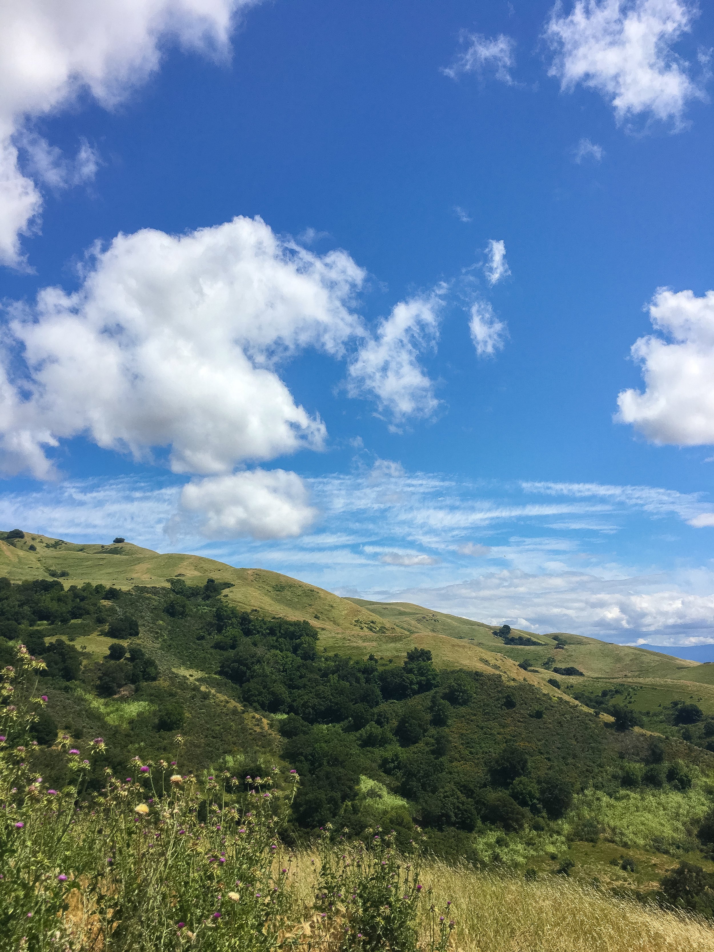
Starting at the parking area, you begin on a wide, exposed, dirt path that is relatively flat. You'll want to keep to the left at all junctions at this point. After about 0.25 miles, the trail begins to climb, and doesn't stop until the very top! You'll climb up very long, wide switchbacks, and gain views of the bay and the hills for most of the hike. There are a few benches along the way that are very nice to sit at and have a snack to rest up!

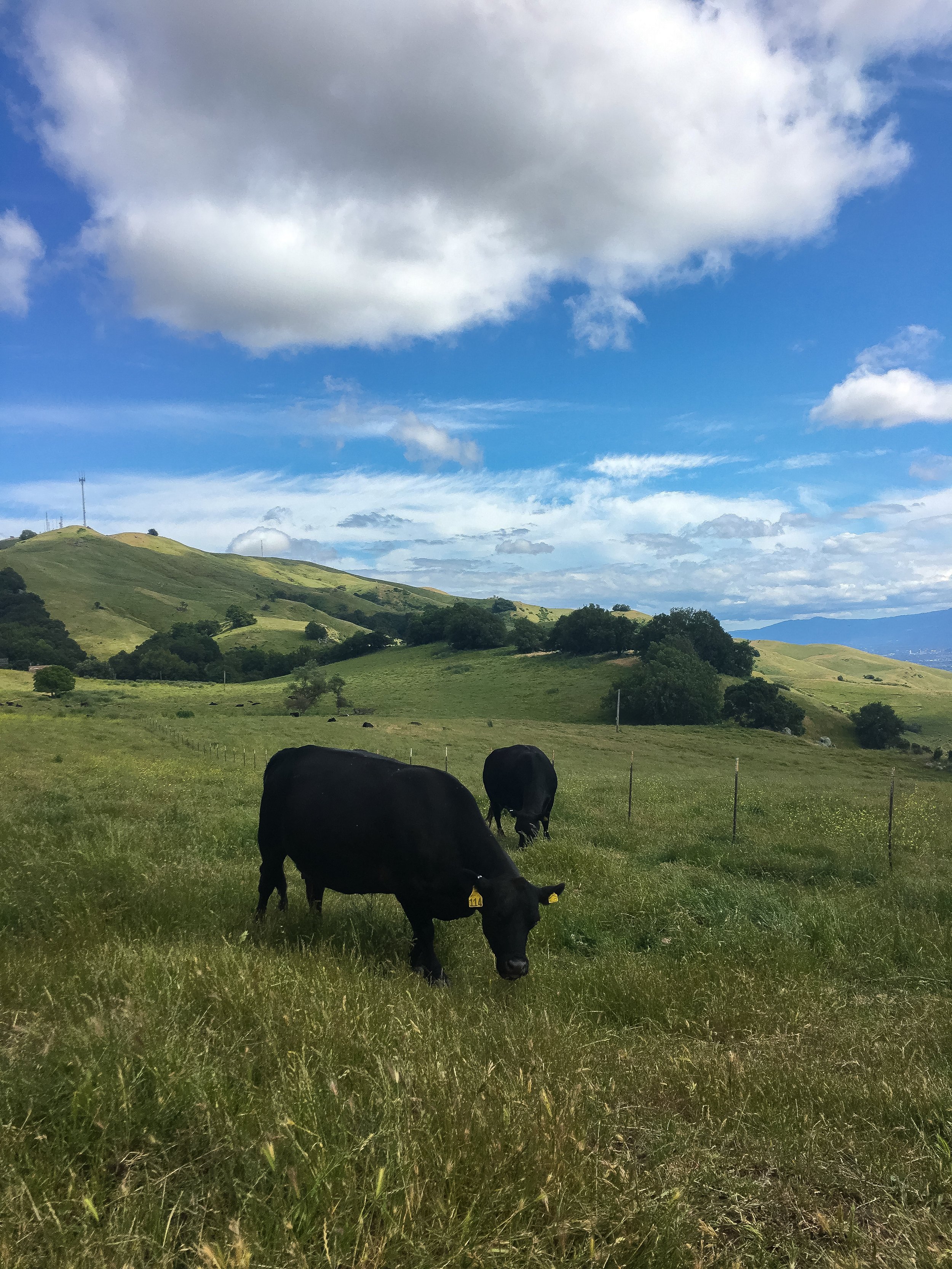
After 2 miles and 1,500 ft of elevation gain, you'll reach a cattle grate and may have encounters with a few cows! Remember to give them space, and don't feed or touch them! At this point, you only have one more mile to the top, but still have a decent amount of elevation to gain! The next best rest stop is by the pit toilets: there's a large flat area, and you can use the restroom here, which is the best option to Leave No Trace on this over-crowded (and very exposed) hike.
Once you depart from the toilets, veer right: you only have about 0.75 miles to the top, but its the steepest grade of the whole trail! Once you reach the area between two large hills, the first steep ascent will be before you. After you tackle the first one, you can rest at a few benches before continuing up the last push to the top!

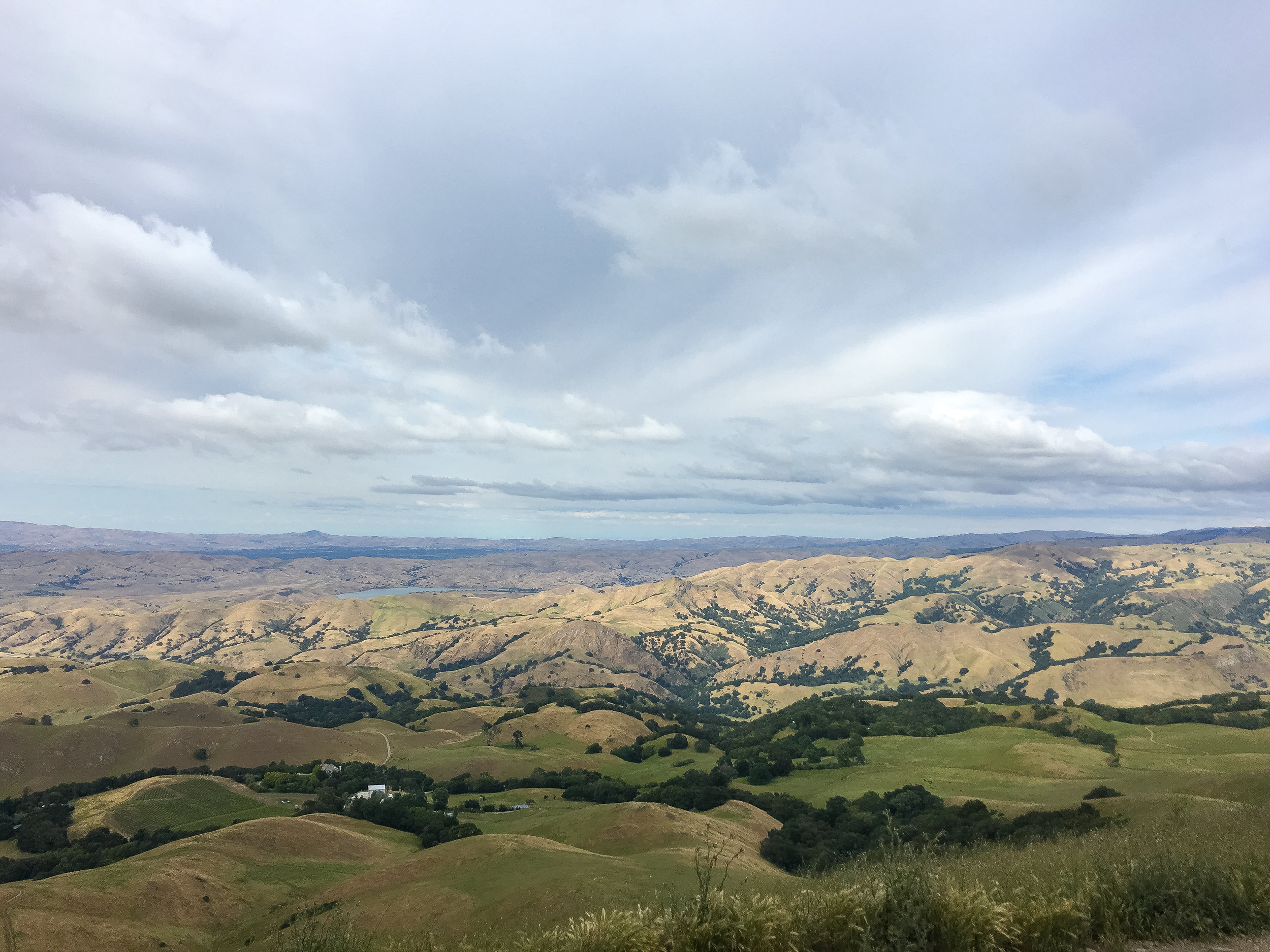
The views up to the top and at the summit are pretty great, especially if you go in the spring!


Once you get to the top, don't expect much solitude. On my second trip here, there was a line of probably 100 people waiting to take their photo with the summit post! I was happy that I took my photo on my first visit!

This hike is probably on everyone's Bay Area bucket list, and for a good reason: it's challenging athletically, a good work out, and provides nice views. As I mentioned above, this hike is best done in the spring months and on a weekday or very early/ late on a weekend to avoid the crowds! There are also some other trails in this area, which would make a nice loop hike, and probably offer more solitude. Consult a good trail map to map out a route!