Tennessee Valley to Pantoll Campground: The First Car Shuttle
Bay Area Ridge Trail Stats
Sections: Marin Headlands from Tennessee Valley to Shoreline Highway
Mount Tamalpais State Park and Dias Ridge Trail
Trail Mileage: 8.6 miles
My total miles to date: 48.5 miles
Date Hiked: 9.30.2022
Difficulty: Moderate-Strenuous
The Full Hike: Miwok Trail and Deer Park Fire Road from Tennessee Valley Parking to Pantoll Campground in Mt. Tamalpais State Park. 8.6 miles.

Logistics & Parking
I hiked this section as a point-to-point hike due to its length as a round-trip hike, and the fact that Marin County isn’t too terrible of a drive for two people to car shuttle up to from the Peninsula. Each individual segment could more easily be hiked round-trip.
We drove two cars up to Marin from the Peninsula, driving to Pantoll Campground and parking one car there. Parking at the Pantoll lot costs $8 per vehicle. Make sure you bring exact change since there isn’t always a ranger at the office to make change or for paying by credit card.
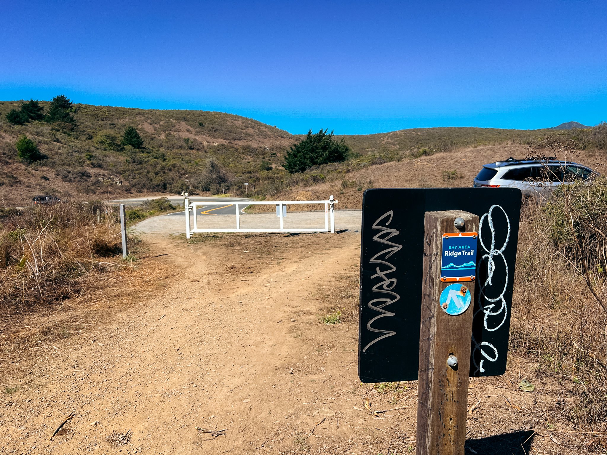
We then drove together in the other car back down to the Tennessee Valley trailhead, which is part of the Golden Gate National Recreation Area. Parking in this lot is free!
Both of these parking lots will be super busy on weekends. It will be best to park by 8 am in order to get a spot. Don’t worry, the Bay Area Ridge Trail isn’t popular in these places, but there are other super popular trails that share these parking lots.
If you are looking to do this in two separate hikes, just note that there really isn’t parking on the Shoreline Highway. There are a few pull-outs that you could potentially park at, but definitely not guaranteed parking. Here is the trailhead at the mid-way point.
Trail Notes
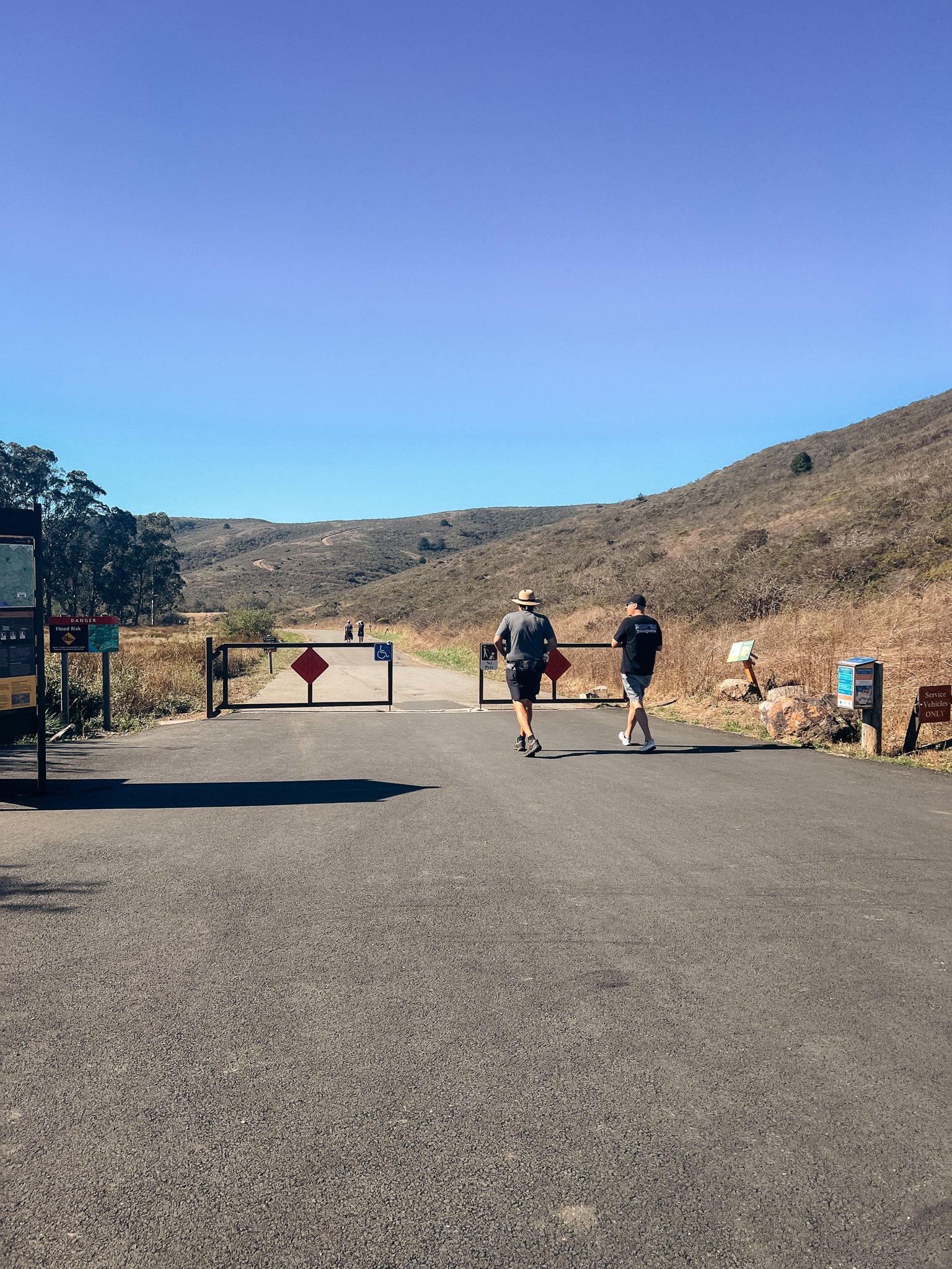
Wanting to take advantage of nice weather and get some good miles and elevation gain in before a trip to Banff, I decided that a jaunt on the Ridge Trail was exactly what I needed to prep! On a Friday morning, we arrived at Pantoll Campground parking around 9:45 am with plenty of spots to park at. We paid, I moved my things to Mom’s car, and we drove down to the Tennessee Valley trailhead, which, surprisingly, takes about 30 min to drive to even though they’re pretty close. All those winding roads, I guess. We got there a little bit before 10:30 and grabbed one of the last spots in the parking lot. There were lots of people headed to Tennessee Beach, the more popular hike from this trailhead.
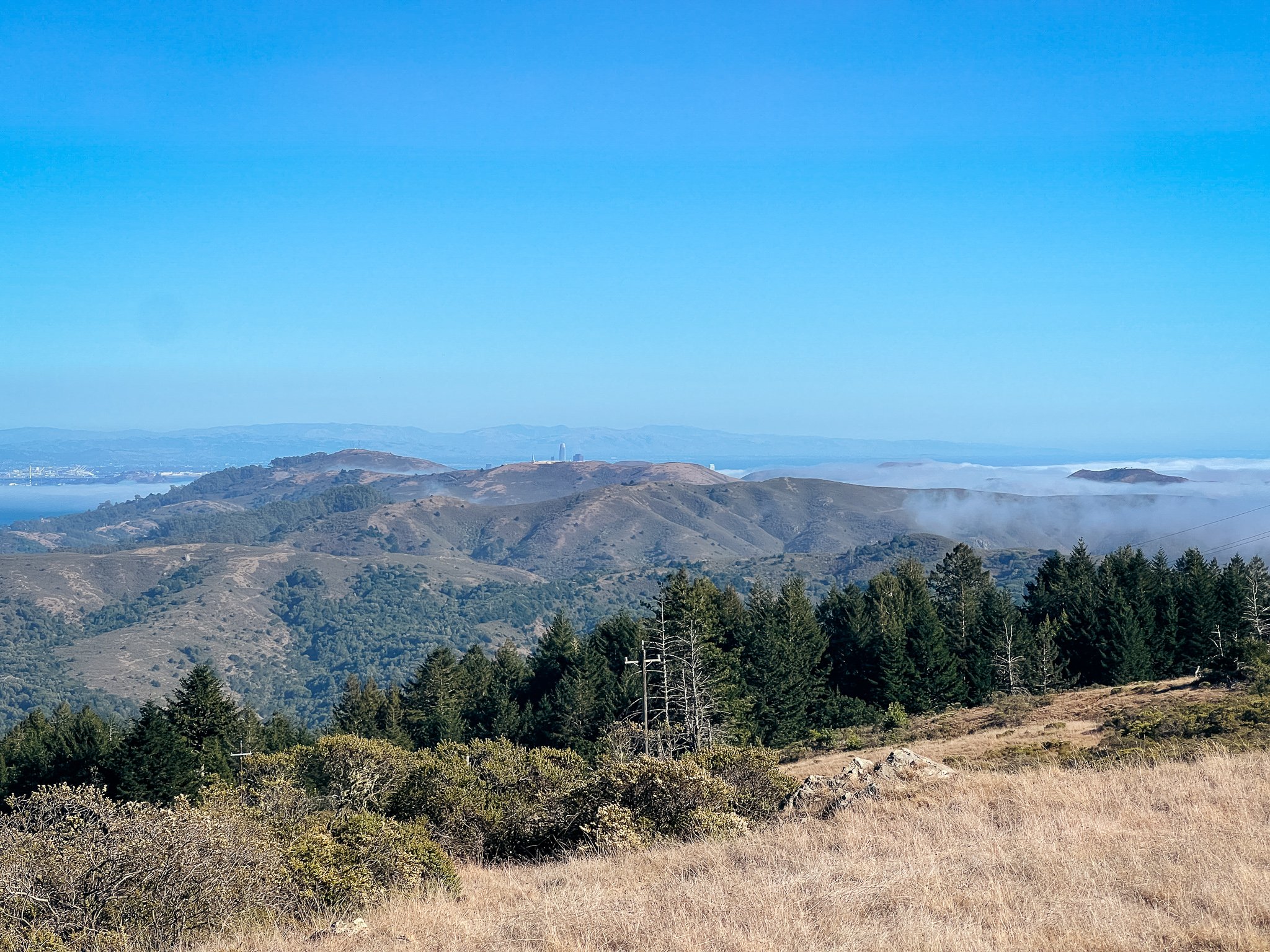
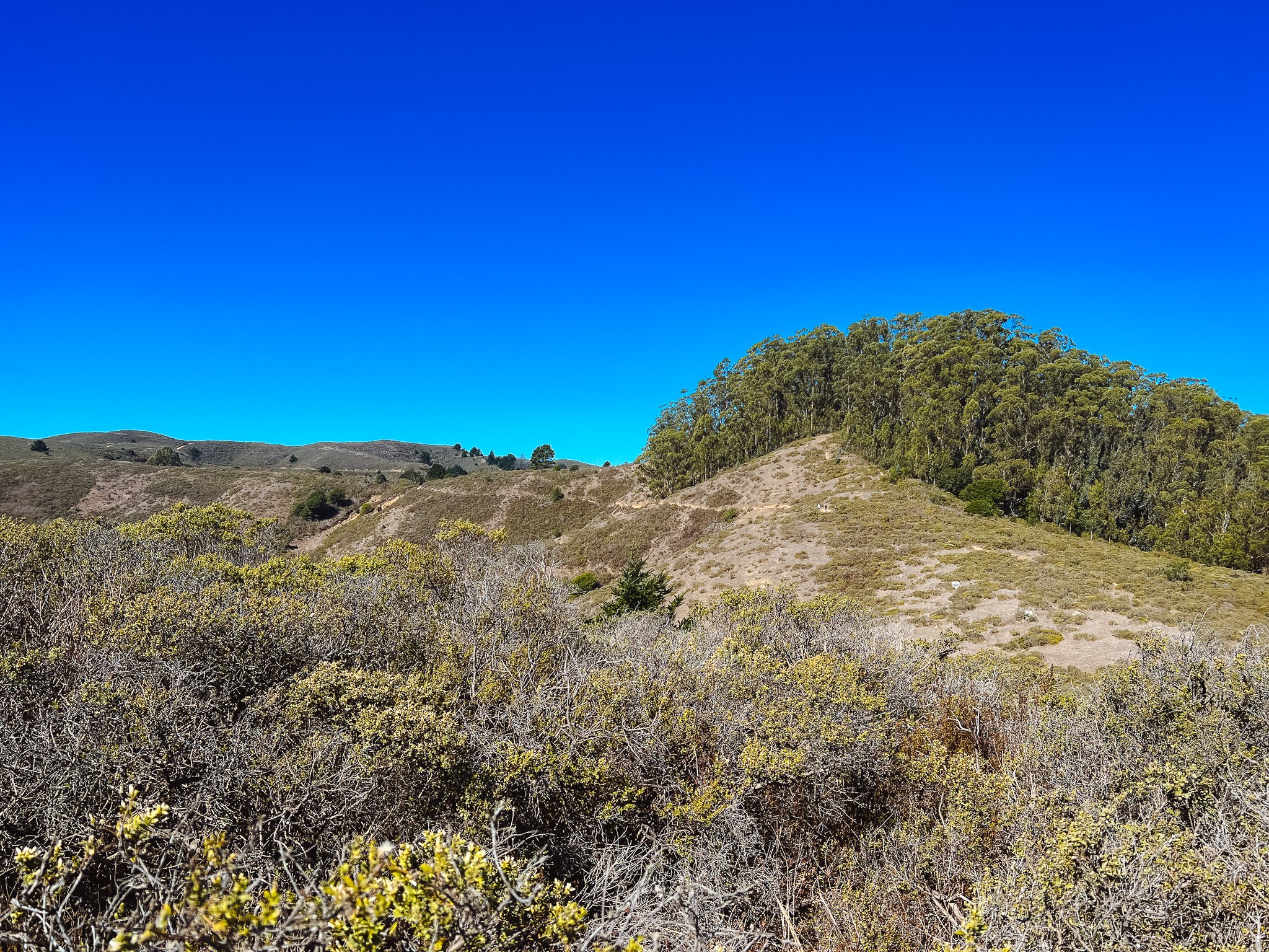
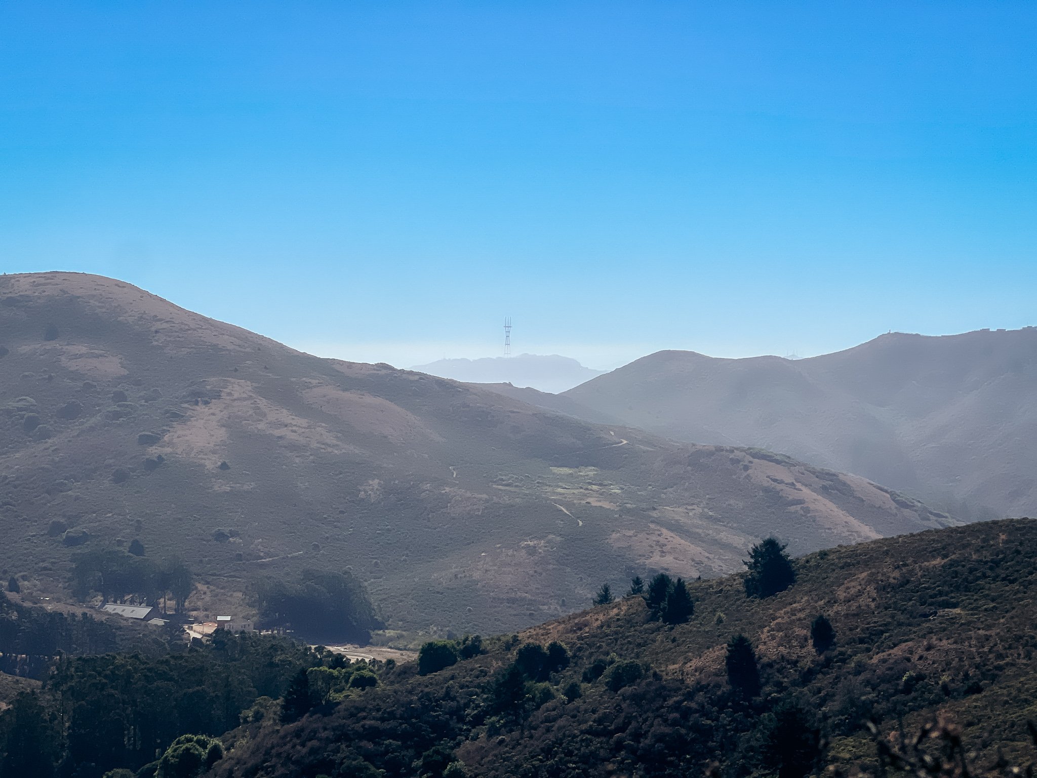
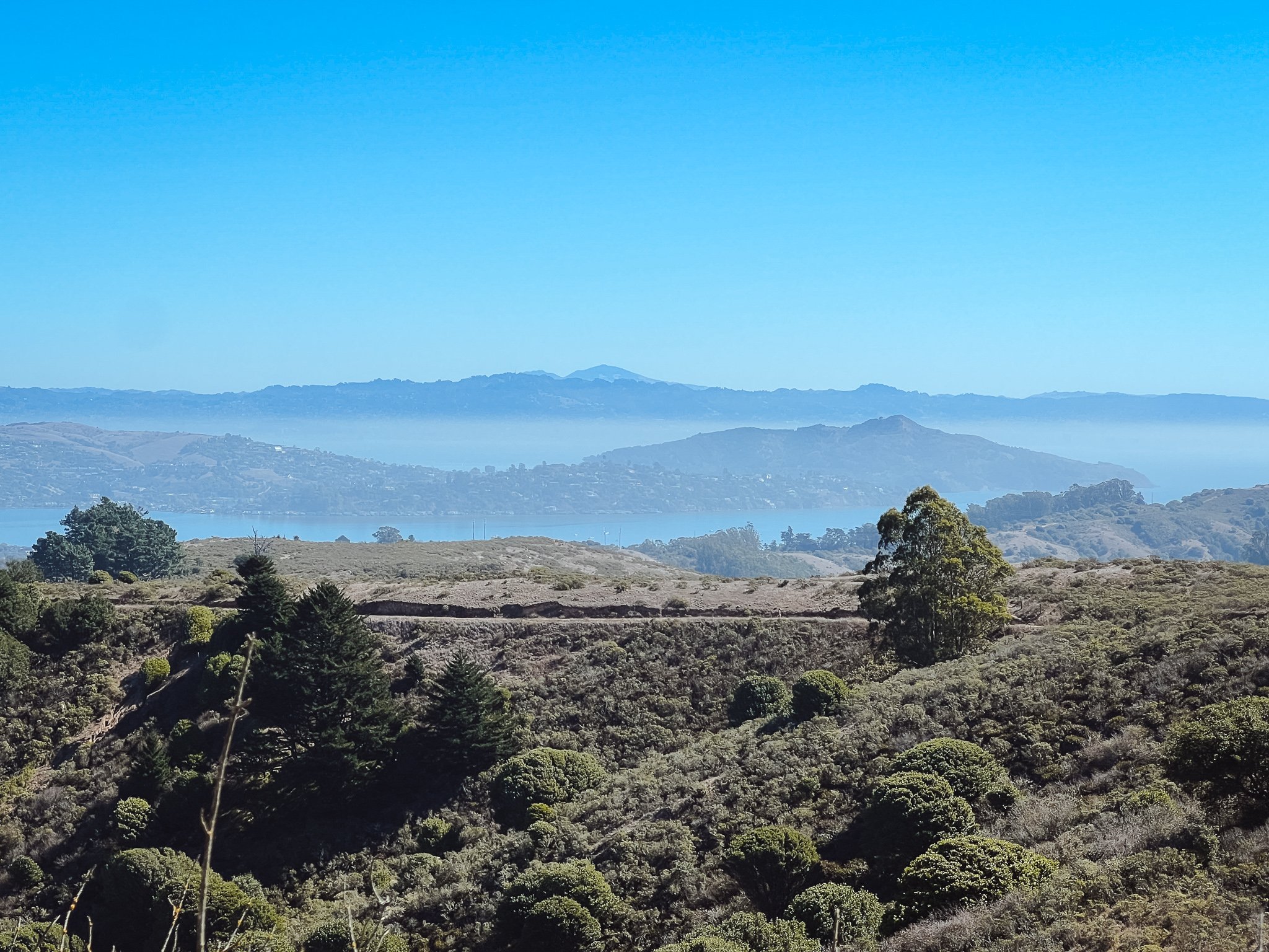
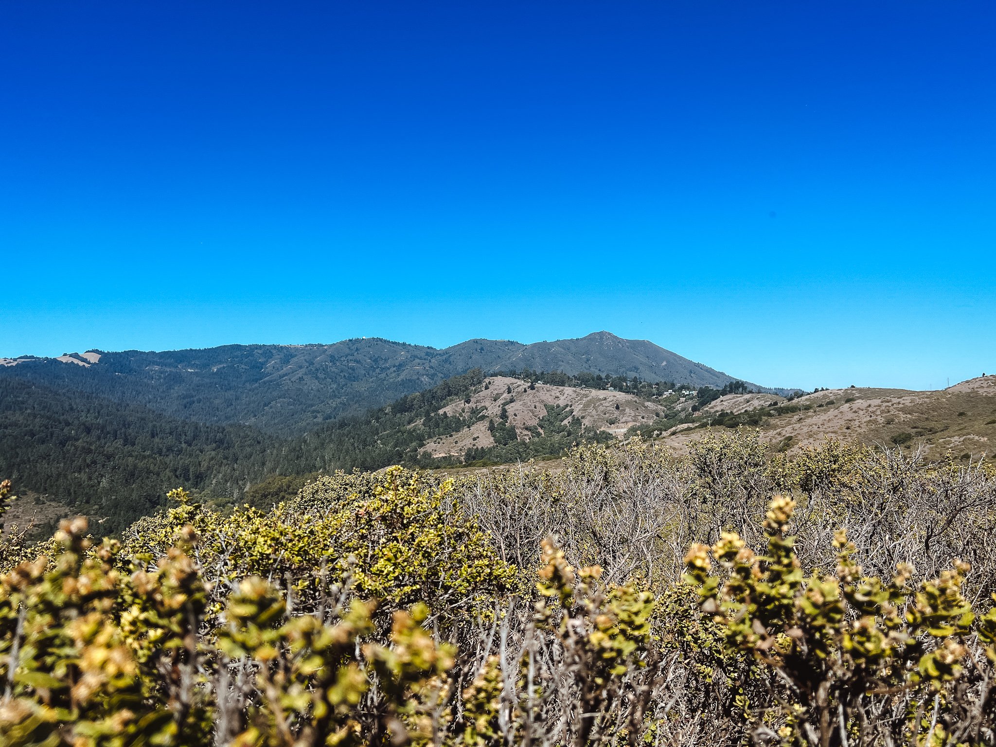
We got hiking around 10:30. The trail started off flat, but quickly started climbing up 600 feet to the top of the ridge. It was already hotter than the weather had forecasted, and I was feeling it! The landscape was quintessential Marin Headlands: lots of brush and grasses and rolling hills, with views of Marin county, the Bay, Mt. Diablo, and even Sutro Tower in the distance. The trail started as more of a hiking, single track trail, and gave way to a fire road at the top of a ridge. Once at the top, the trail meandered around the curves of the hill climbing just a little bit, until beginning it’s gradual descent down to Highway 1, and the end of the first section.
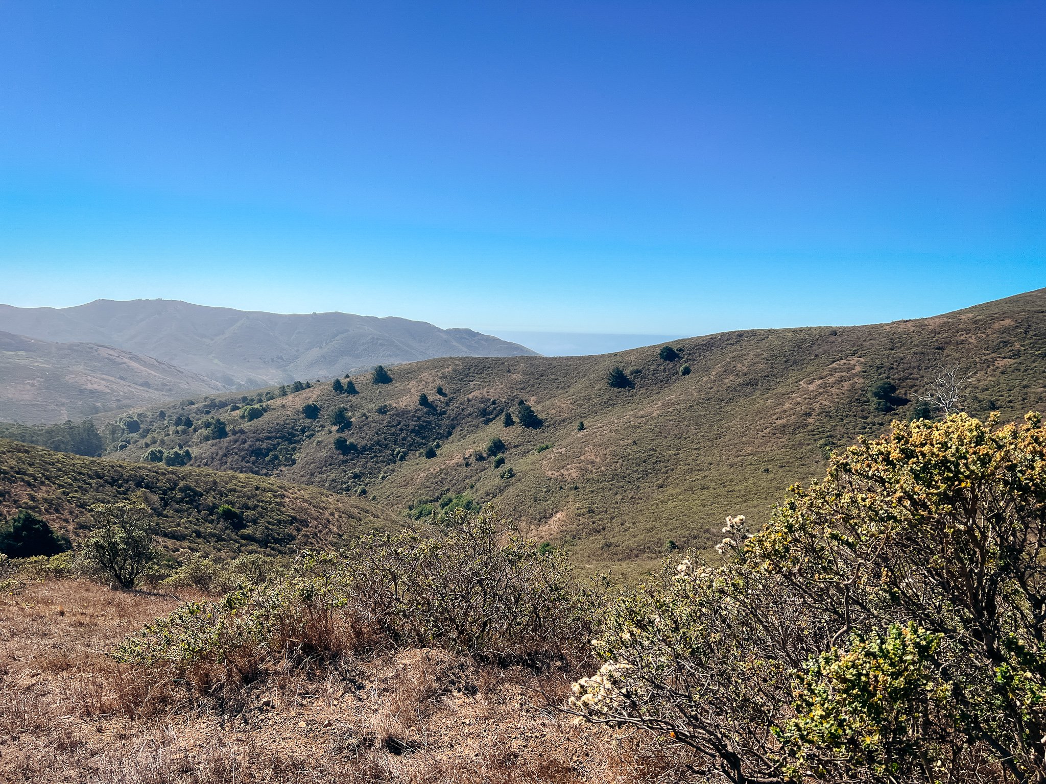
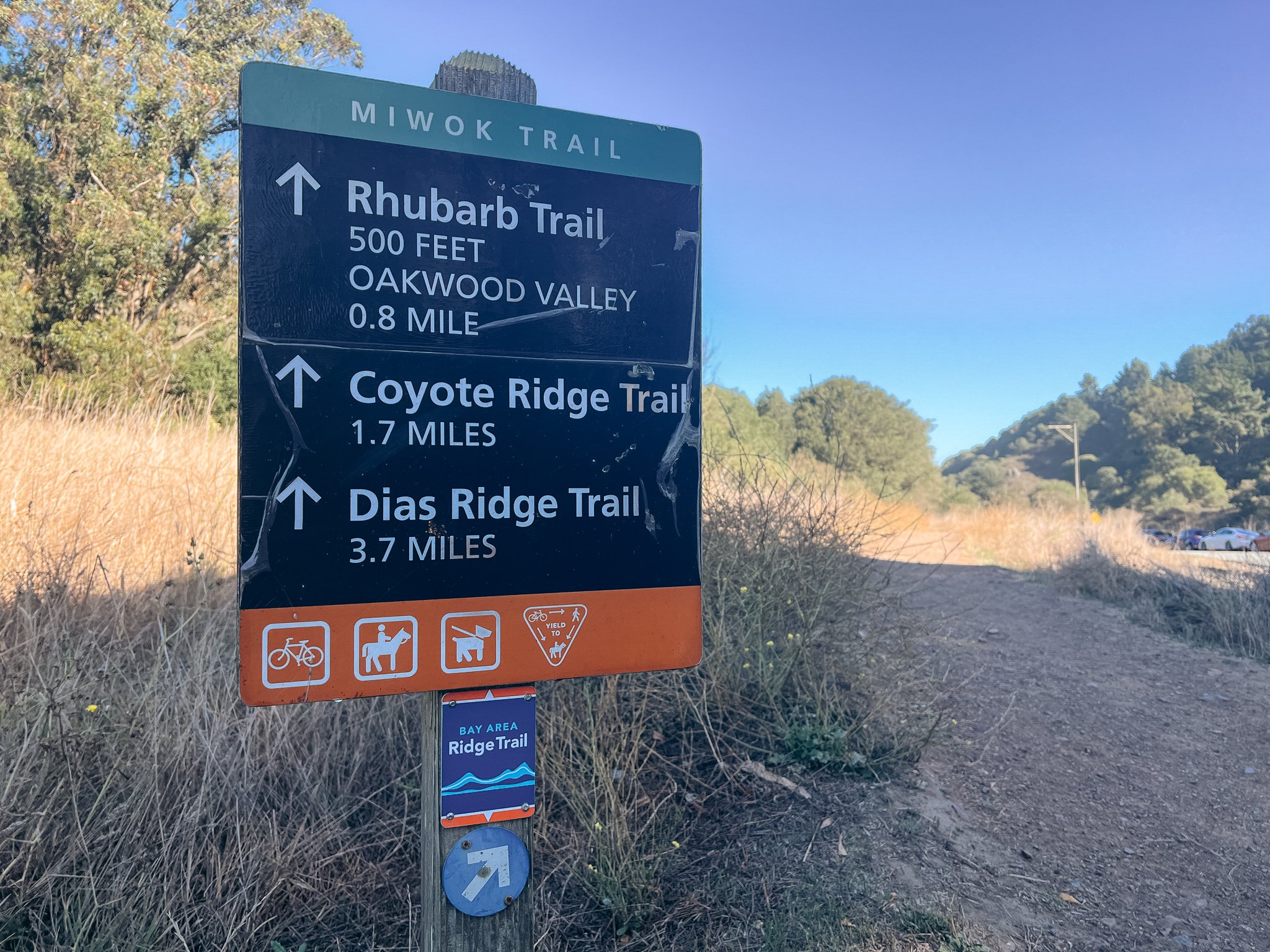
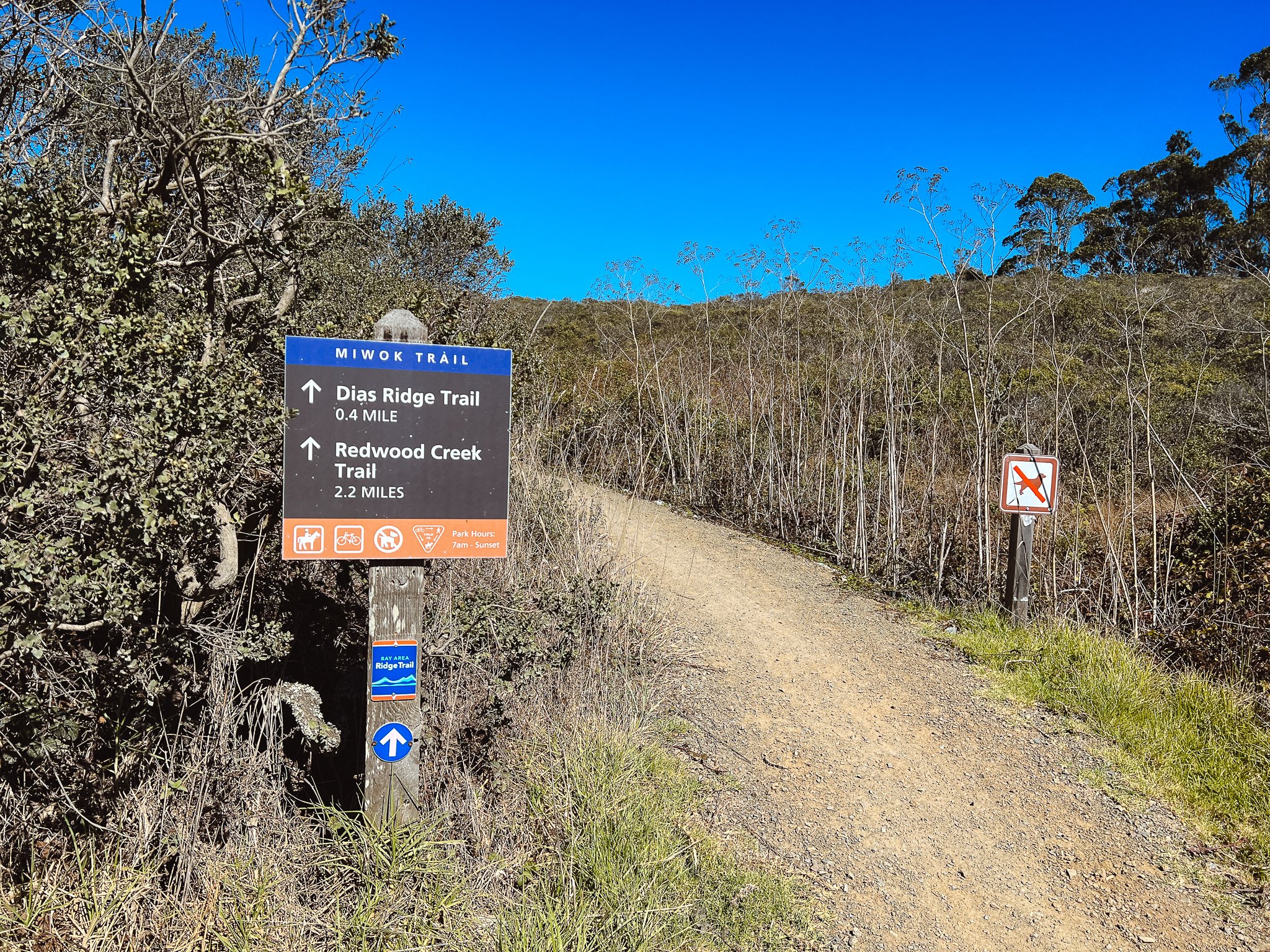
We didn’t linger at Highway 1, just quickly crossed the road and continued climbing up a little bit. We met a small group of mountain bikers, who were continuing on to the Dias Ridge Trail - apparently a very popular mountain bike trail. As we kept hiking, we accidentally went the wrong way and ended up on the Dias Ridge Trail for a little bit due to some confusing signage at the trail intersection. Note: If you’re walking in from Highway 1 like I’m describing, you’ll want to take the trail on the right and start descending immediately, instead of going left and maintaining elevation. This was an especially beautiful part of the trail with really great views of Mt. Tamalpais.
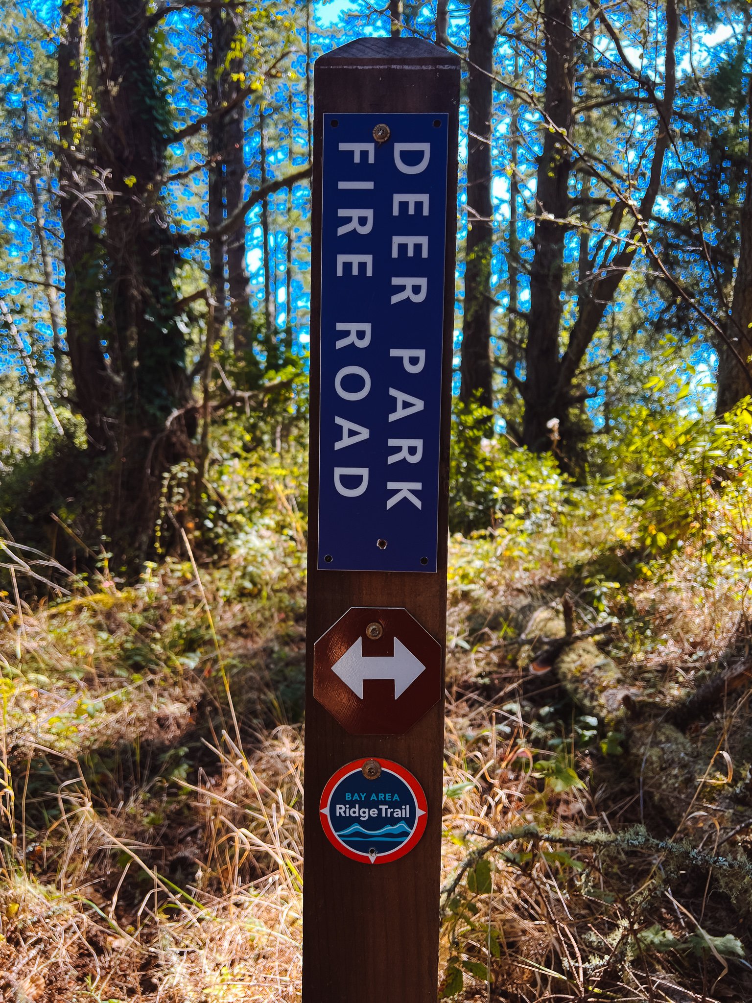
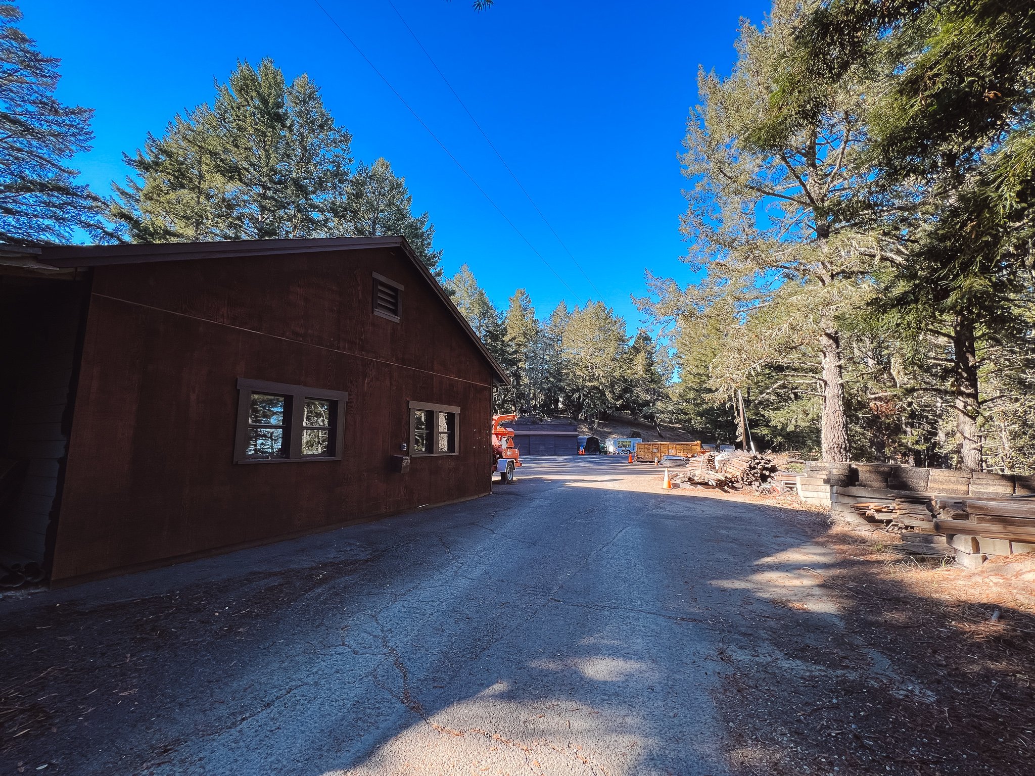
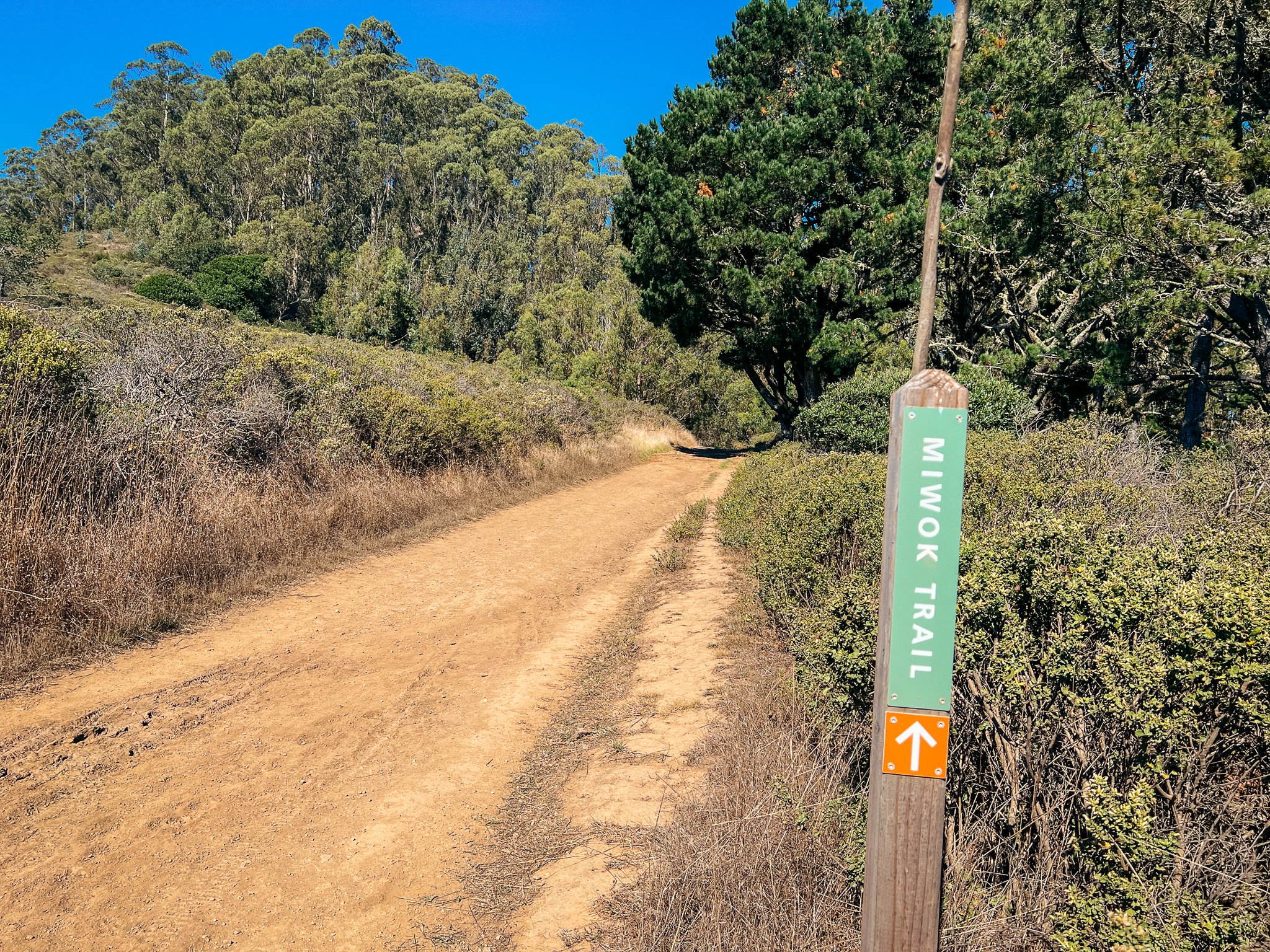
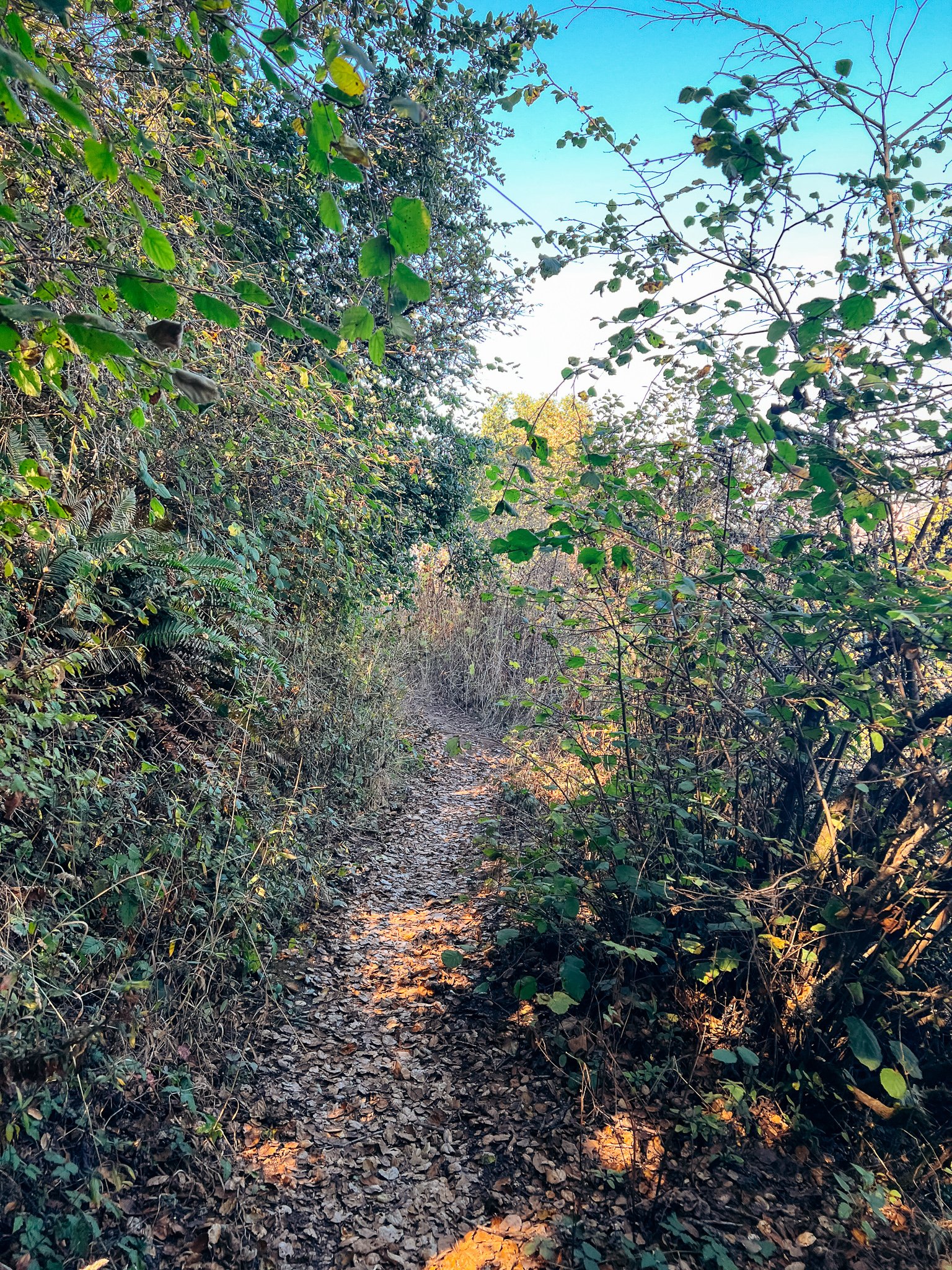
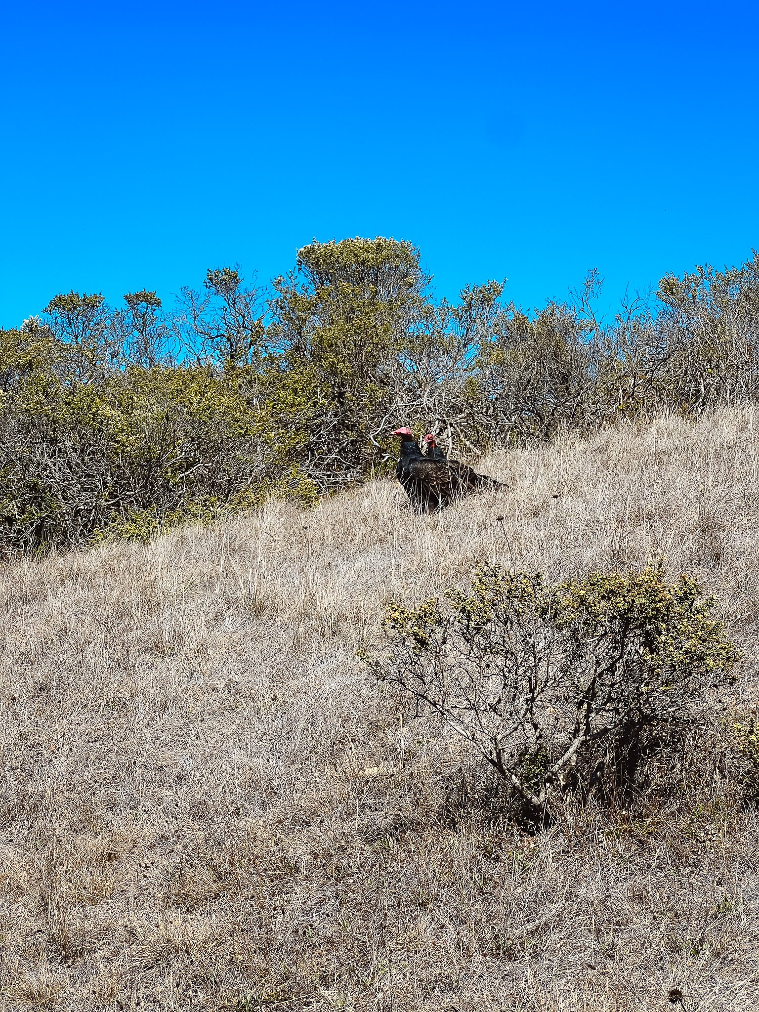
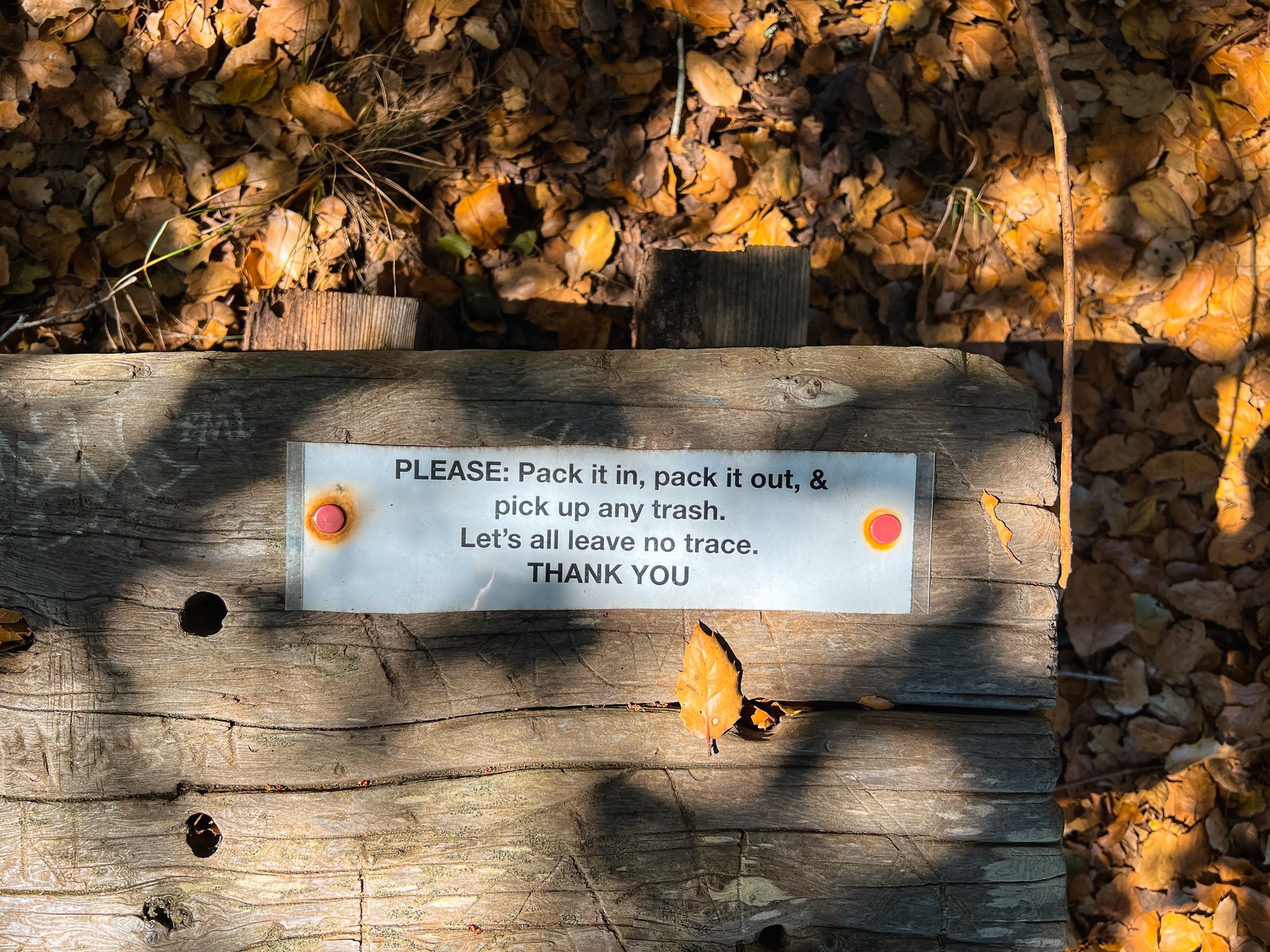
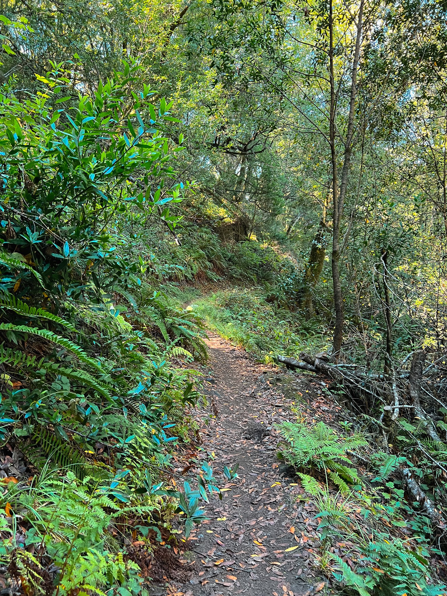
Once we got back on the right track - the Miwok Trail - we started descending and the trail turned more into a chaparral forest, with overhanging branches and even moss and ferns! We also ran into a flock of turkey vultures that were right next to the trail. They were a little unnerving. Those things are HUGE when you’re standing right next to them! I had horrible scenes from The Birds flash through my mind as we walked past. Once we got into the shade, we found a cute little bench on the shoulder of the trail, which we took advantage of to have a snack break. We’d hiked around 4.5 miles at this point, and were feeling a little tired from the sun. Shortly after our snack break, we reached the bottom of the descent, and found trail work in progress on the Redwood Creek Trail. We passed by, following the signs for the Dipsea Trail/ Deer Park Fire Road/ Muir Woods. The remainder of our hike would be on the Deer Park Fire Road, all the way to Pantoll.
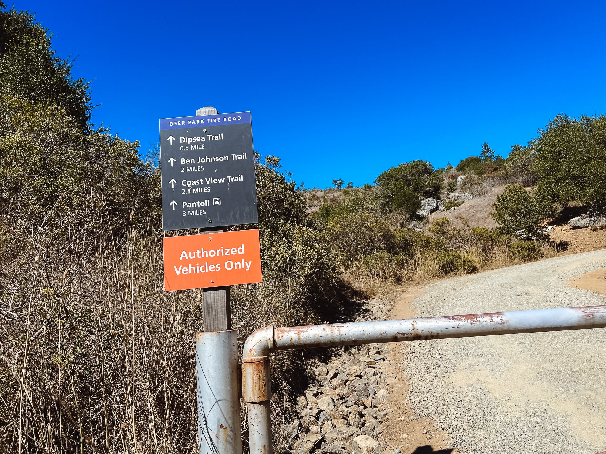
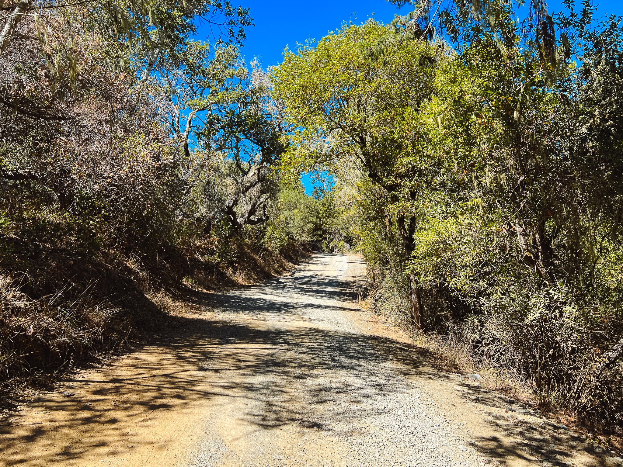
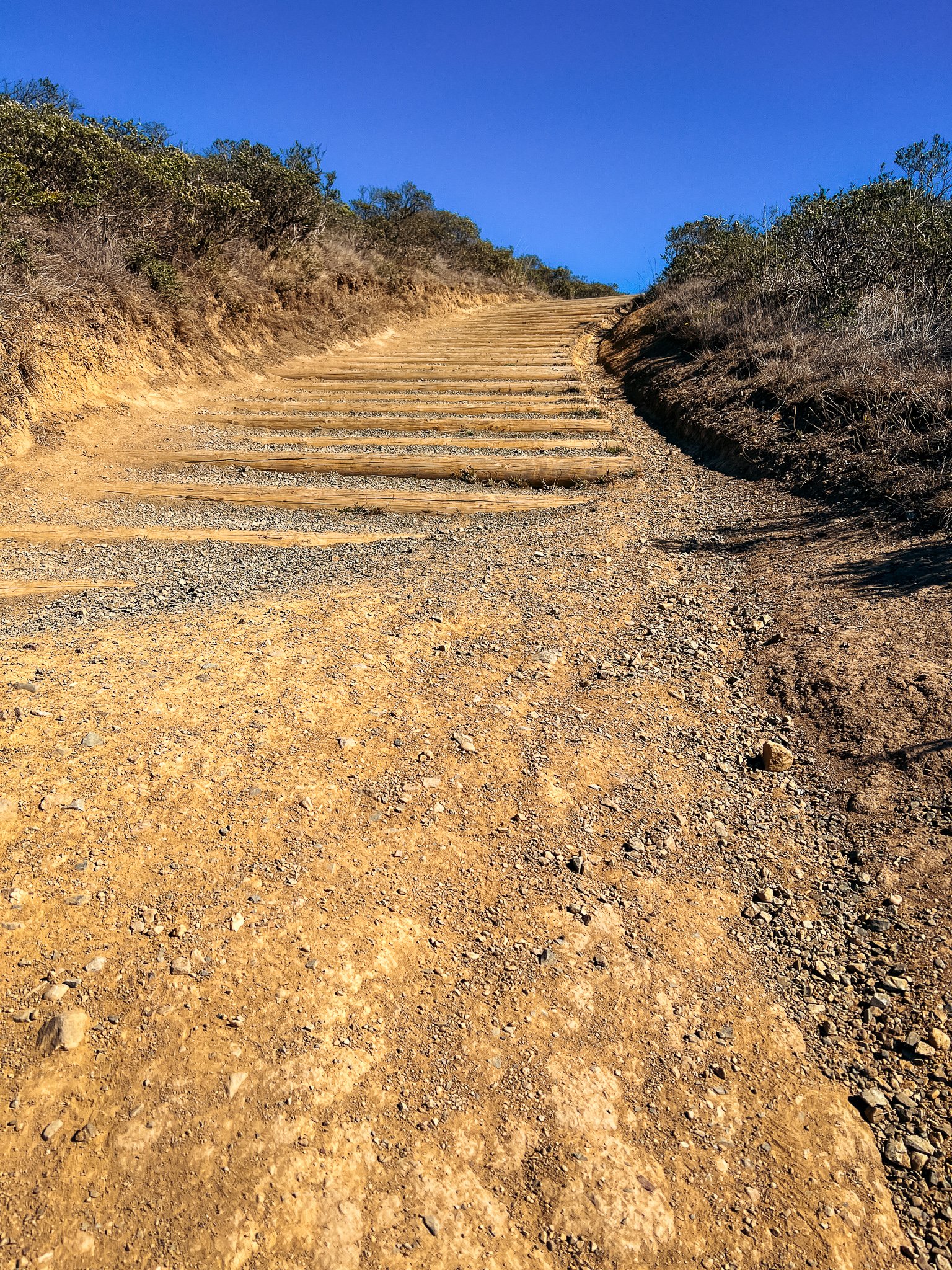
We reached the road and Mom was feeling really tired. The heat was a lot more than we anticipated today, and we still had about 1,300 ft of elevation to gain on this 3 mile climb. I had faith in her though, and promised we’d take it slow. The hike along this fire road was not the greatest. The trail went in and out of shade for the first half, and the climbing was pretty relentless. What was weird was that this fire road parallels the Dipsea Trail, but the BART is very clearly signed to only be the Deer Park Fire Road and not the famed Dipsea. I still haven’t hiked the Dipsea, but hear that it’s gorgeous. It’s just interesting that the choice was made to have it avoid the trail even though they intersect each other numerous times in the three mile stretch.
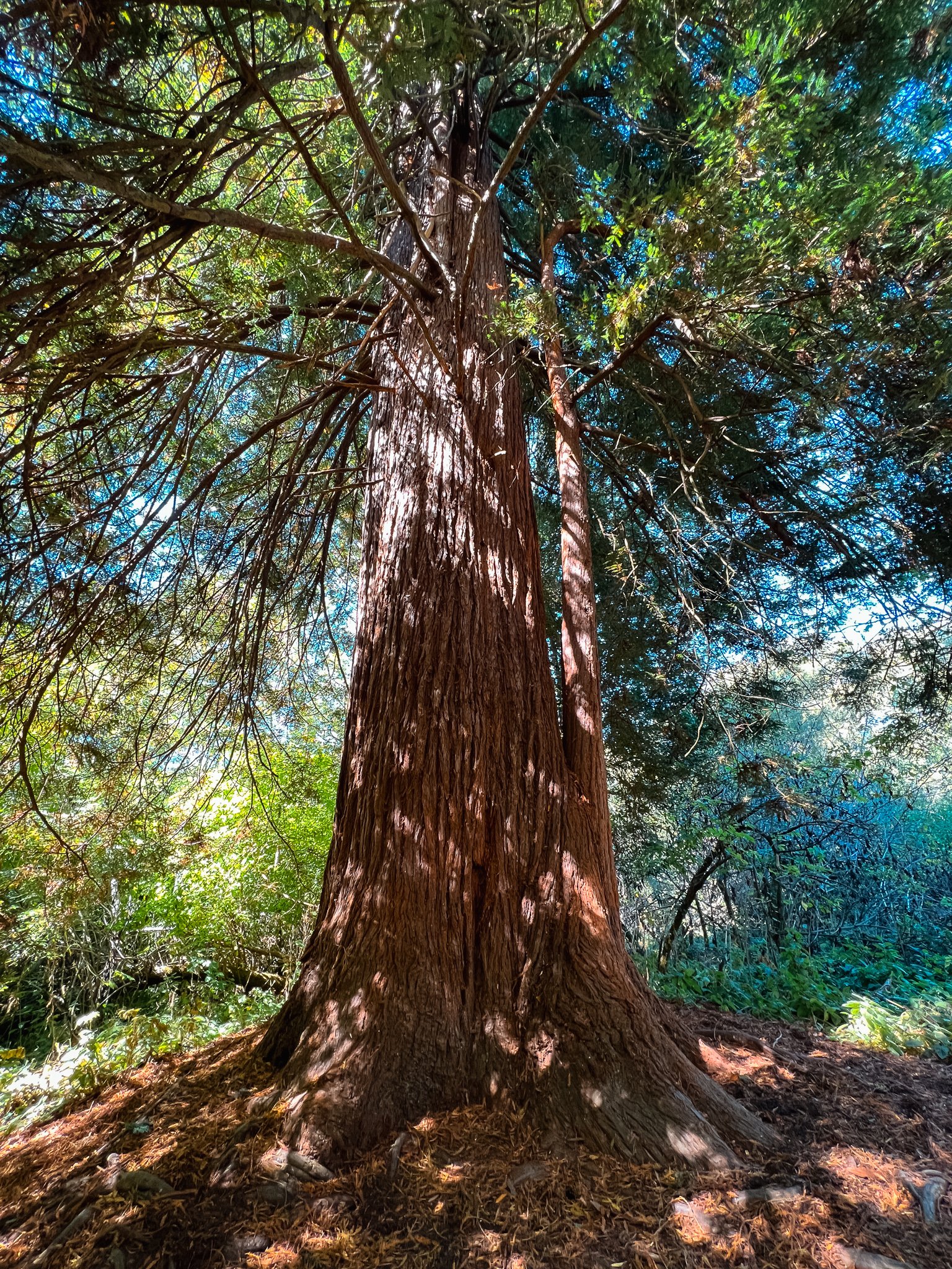
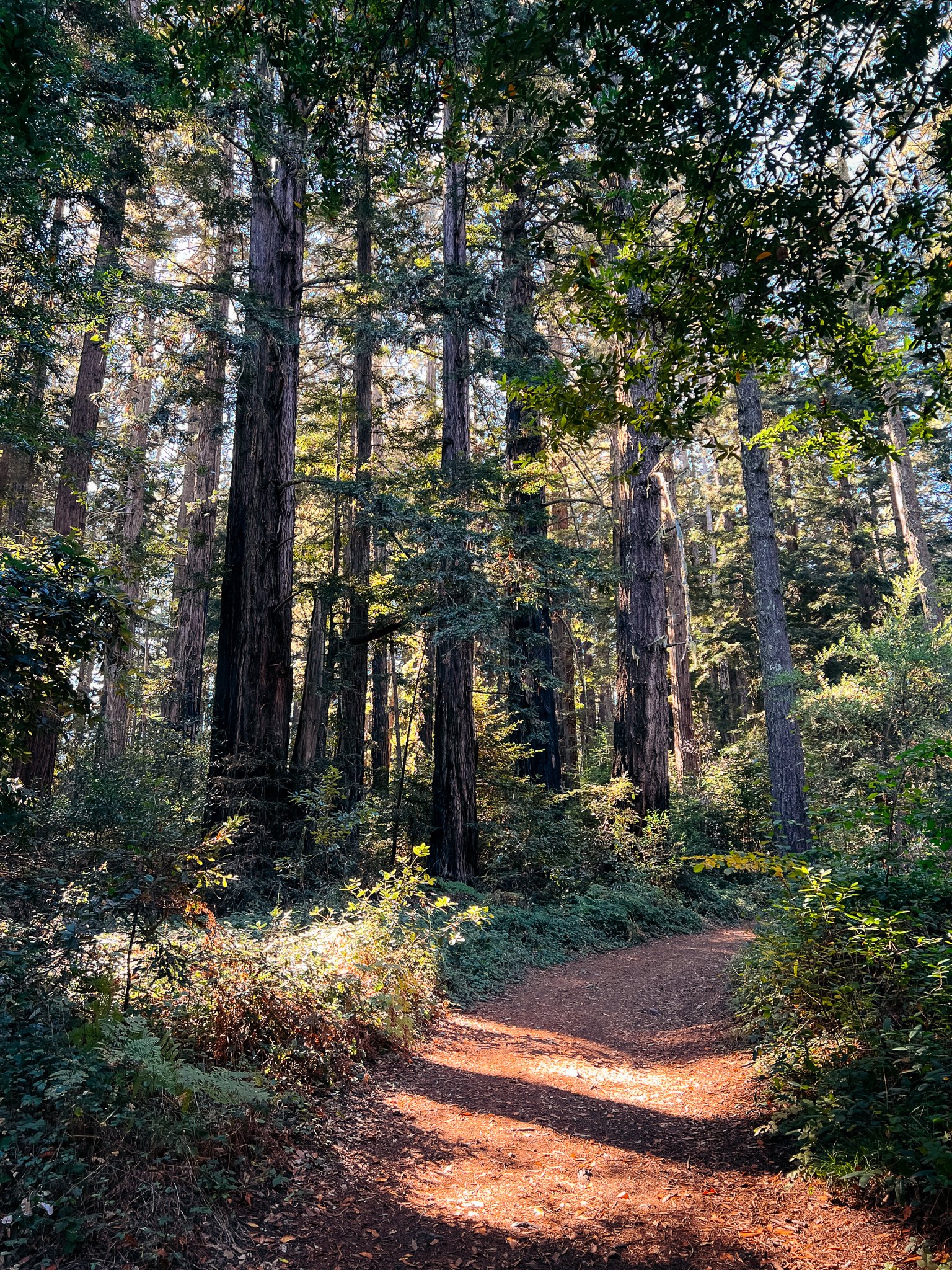
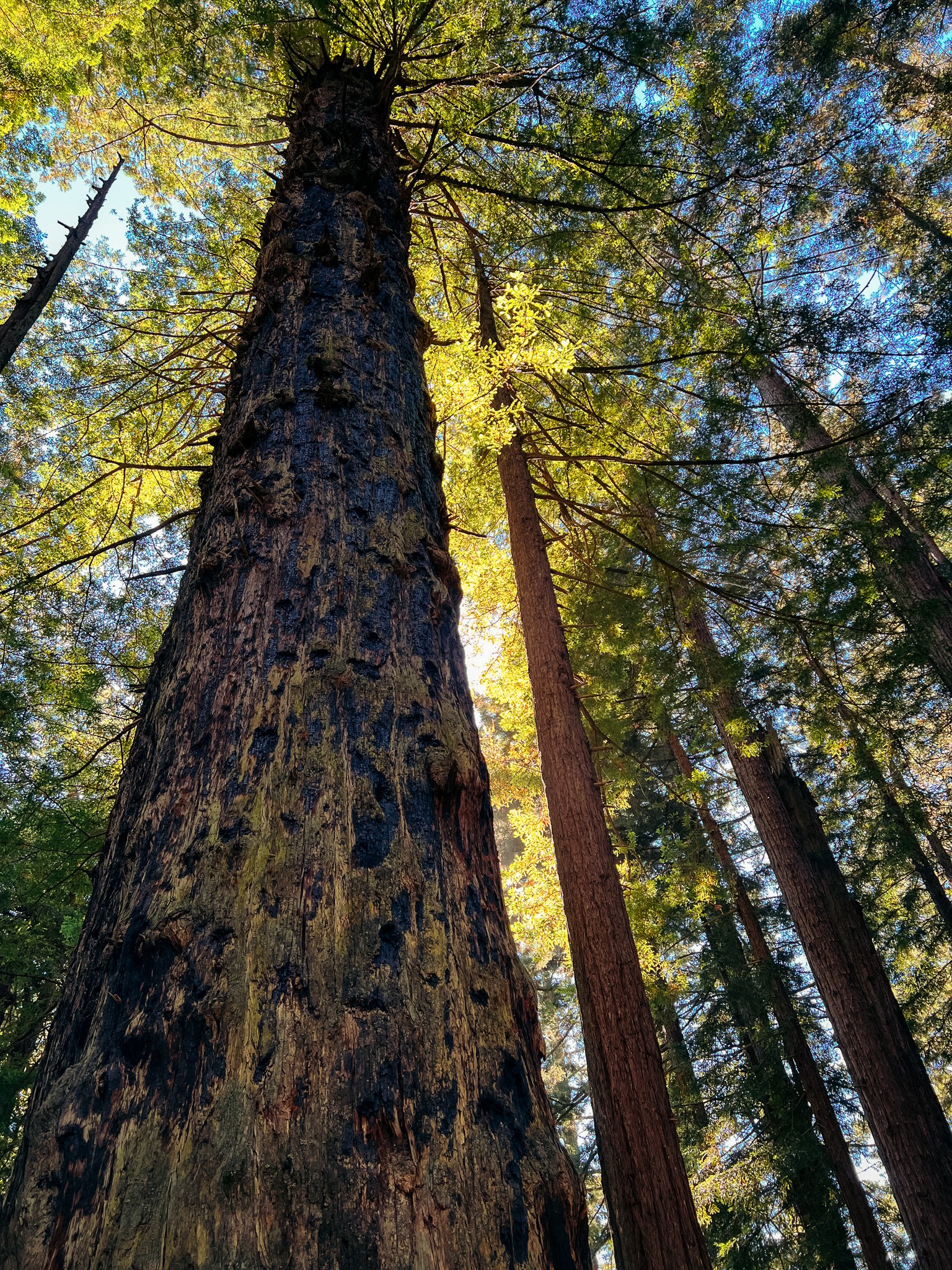
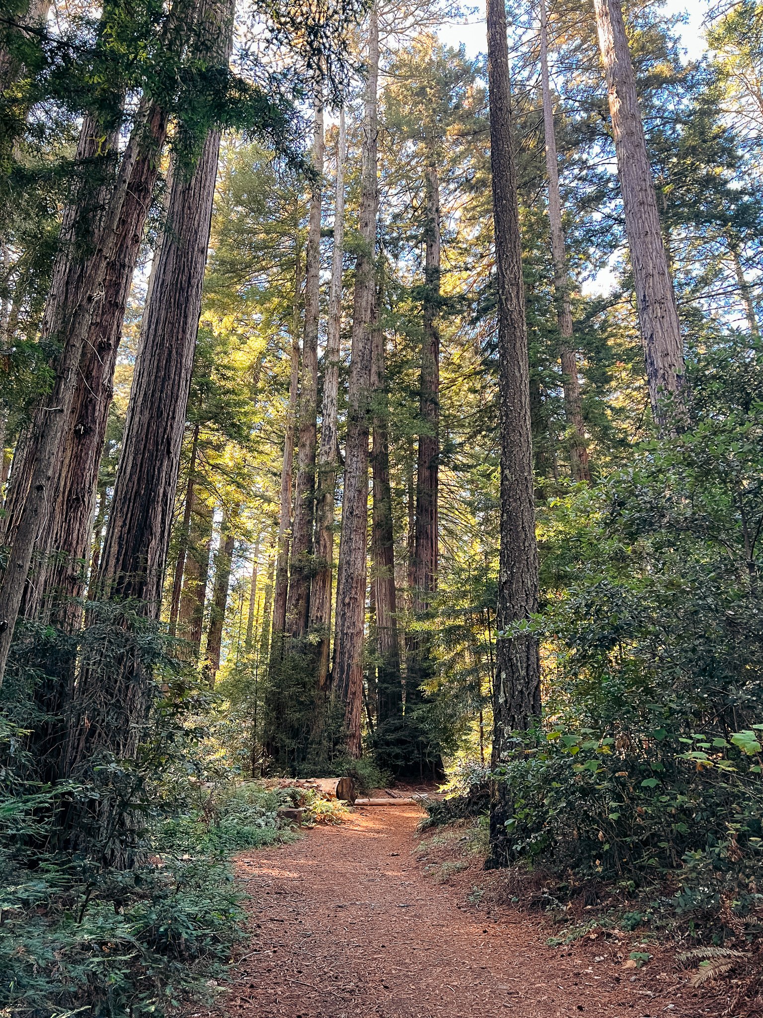
The parts of the trail without shade were the worst! It was at least 80°F in the sun, and the views were lacking. Eventually, we reached more consistent shade when the trail reached the Redwood forest near the top of the climb. This is where this trail really shined. The Redwoods were beautiful, and it was like we were transported to another trail! The contrast was extreme from down at the bottom. It makes sense though: the trail is right at the top of Muir Woods National Monument - which is kind of what that place is known for!
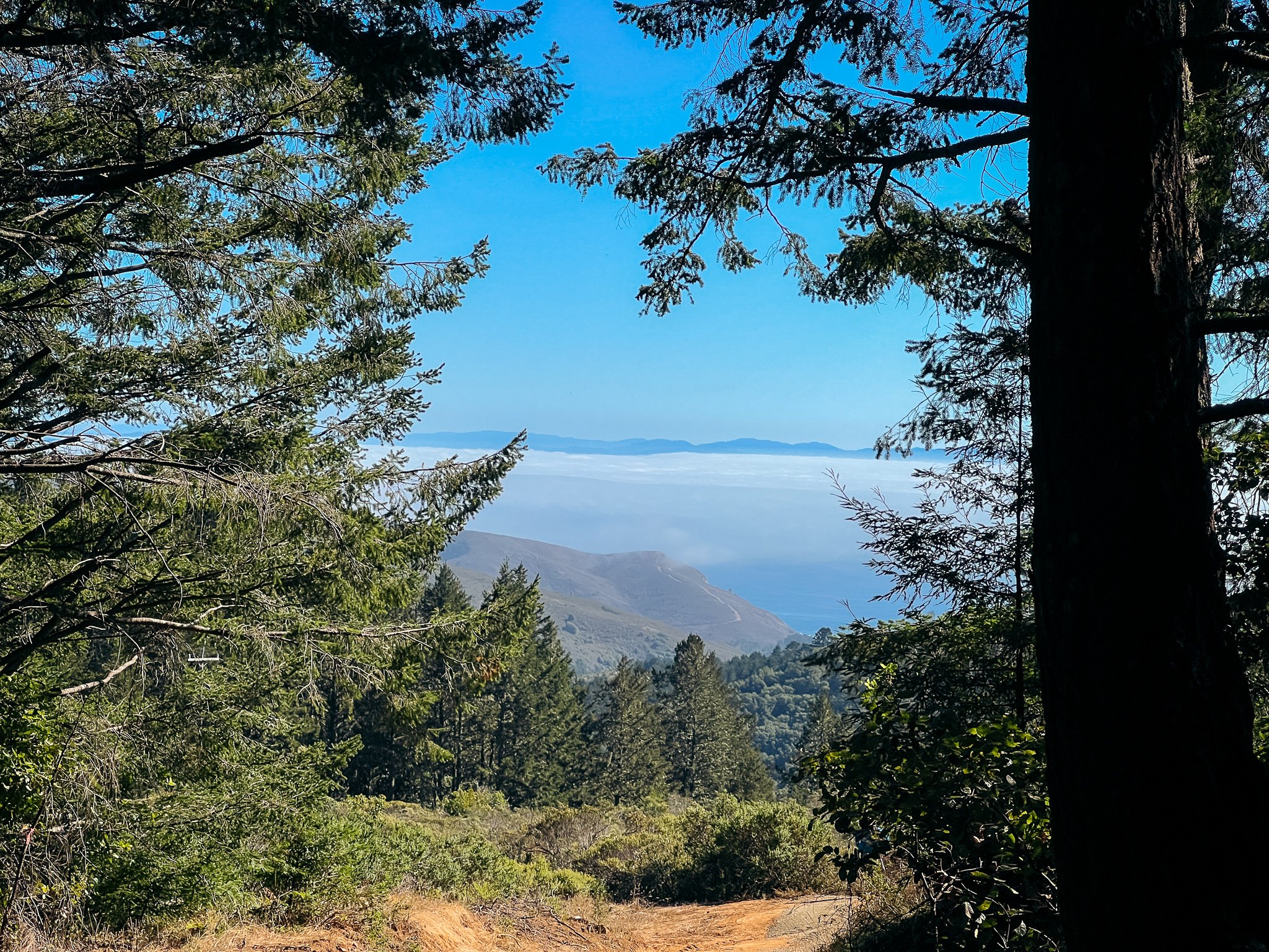
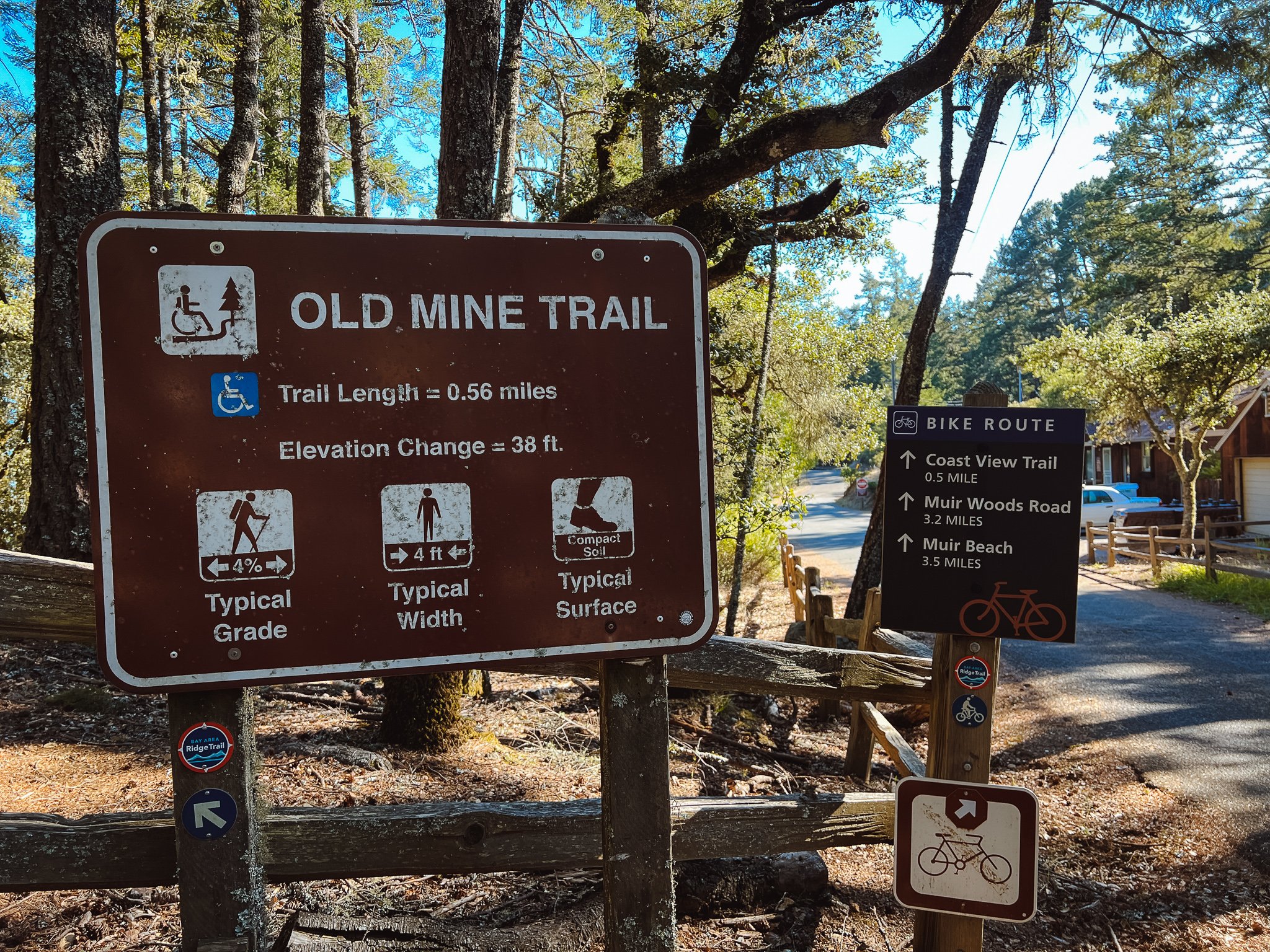
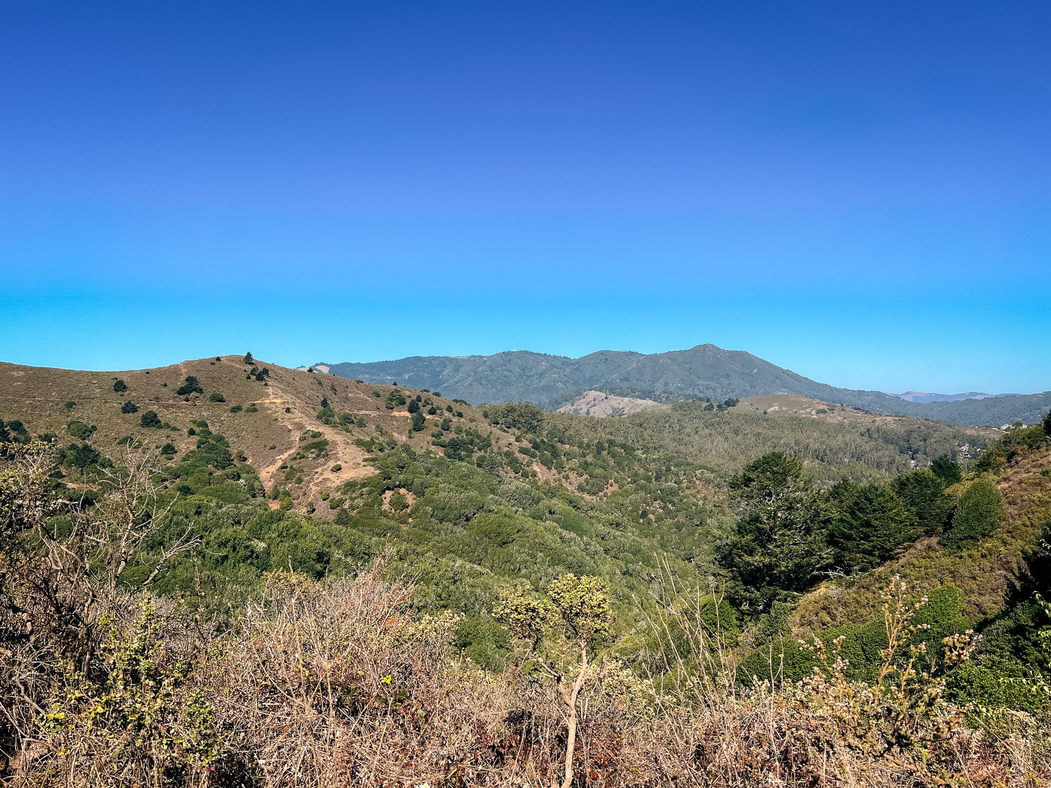
We topped out the climb at a really pretty spot with expansive views of the Bay and ocean and the hills of the area. We could look back and see the ridge that the Dias Ridge Trail and Miwok Trail met, which looked super far away from this point. It’s always so satisfying to see how far you’ve walked in a day with point-to-point hikes. After a short break here, we continued on the fire road, not realizing that there was a hiker-only path that paralleled the fire road - the Old Mine Trail. Oh, the quirks of the Bay Area Ridge Trail! Soon enough though, we were back at the Pantoll Campground parking lot, feeling very satisfied with ourselves. After doing the drive back to the other trailhead, we decided to treat ourselves to a seafood dinner at Sam’s Anchor Cafe in Tiburon. It’s not every day that we find ourselves up in Marin - gotta take advantage of that bridge toll!
Overall, this was an OK section of trail. I enjoyed the first part up until the Dias Ridge Trail and again when the trail entered the Redwoods up to Pantoll. I can’t wait to hike more of the Ridge Trail in Marin - especially the Bolinas section, which is north of Pantoll! I was happy though to make some headway in linking trail miles here: way back in September of 2021, I hiked some of the trail up to Tennessee Valley! Here’s to continuing the Ridge Trail journey!