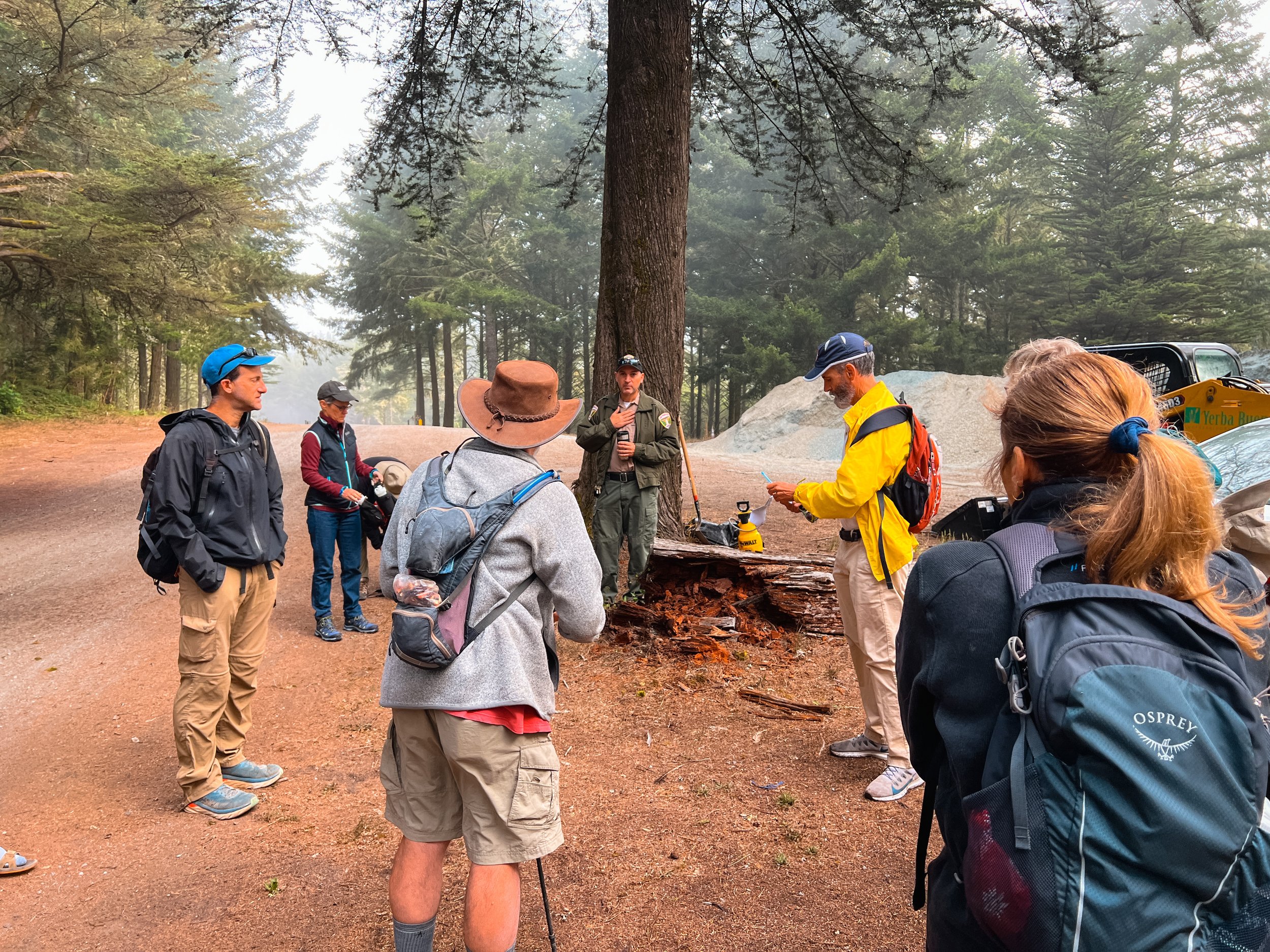
Group Fun on the Fifield-Cahill Section
Bay Area Ridge Trail Stats
Section: Fifield-Cahill Trail
Trail Mileage: 8.2 miles
My total miles to date: 39.9 miles
Date Hiked: 8.27.2022
Difficulty: Moderate-Strenuous
The Full Hike: Fifield-Cahill Trail out-and-back from Cemetery Gate to Portola Gate. 16.4 miles.
Logistics
This portion of the Ridge Trail is only available by a docent-led hike or bike ride to protect the SF watershed. You can make reservations at this website, and you will receive an e-mail with further info and instructions from your volunteer leader.
It is possible to coordinate with the volunteer docent leading the hike to extend past Portola Gate and hike on Sweeney Ridge if you don’t want to do the full out-and-back. You must have a shuttle vehicle though, or you may be able to get a Lyft or Uber from Skyline College back to your car at Skylawn Cemetery.
Parking
You’ll most likely meet up with your group at the large turn-off next to the entrance to Skylawn Cemetery.
Trail Notes
After taking the summer off from Ridge Trail adventures, I was off to an ambitious start: hiking the docent-led Fifield-Cahill portion. Since I was hiking this alone, and the docent-led hikes haven’t gone back to the “pre-COVID” group car shuttling, I was locking in 16.4 trail miles as an out-and-back hike from Cemetery Gate. At least I was in good company!
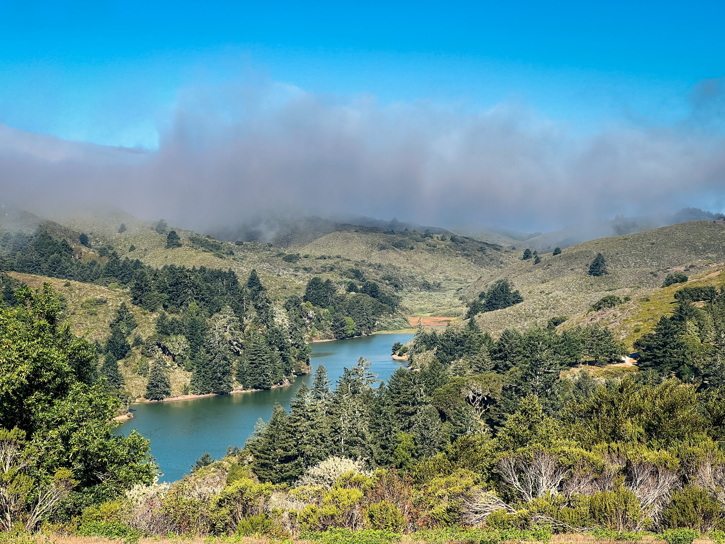
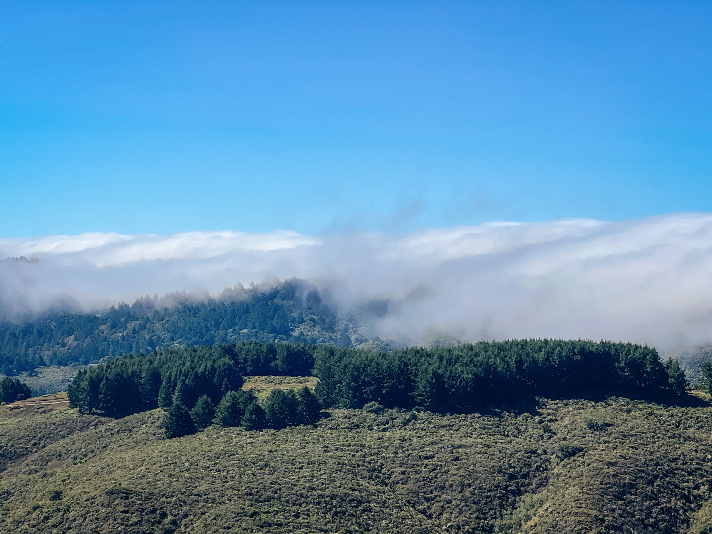
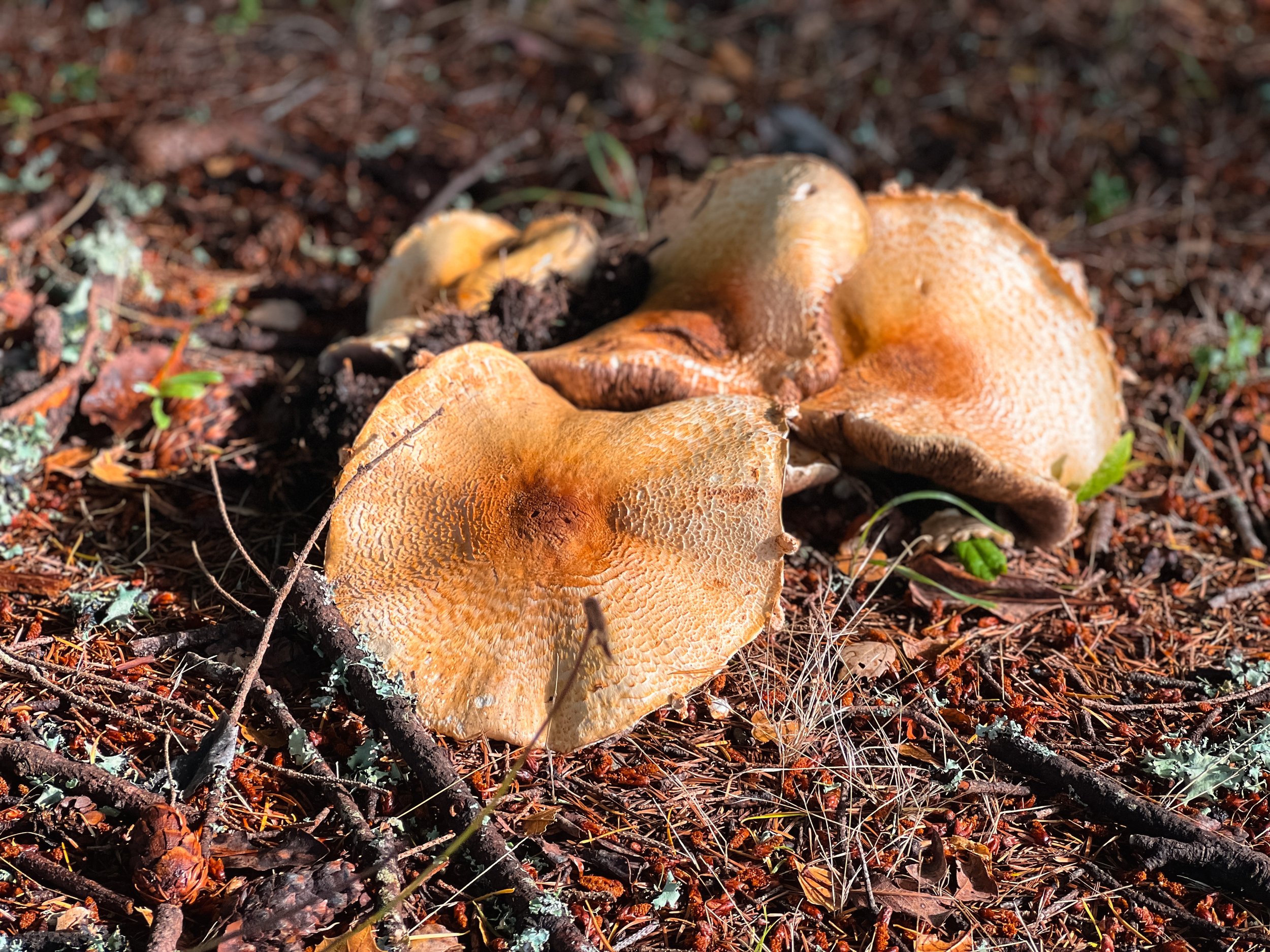
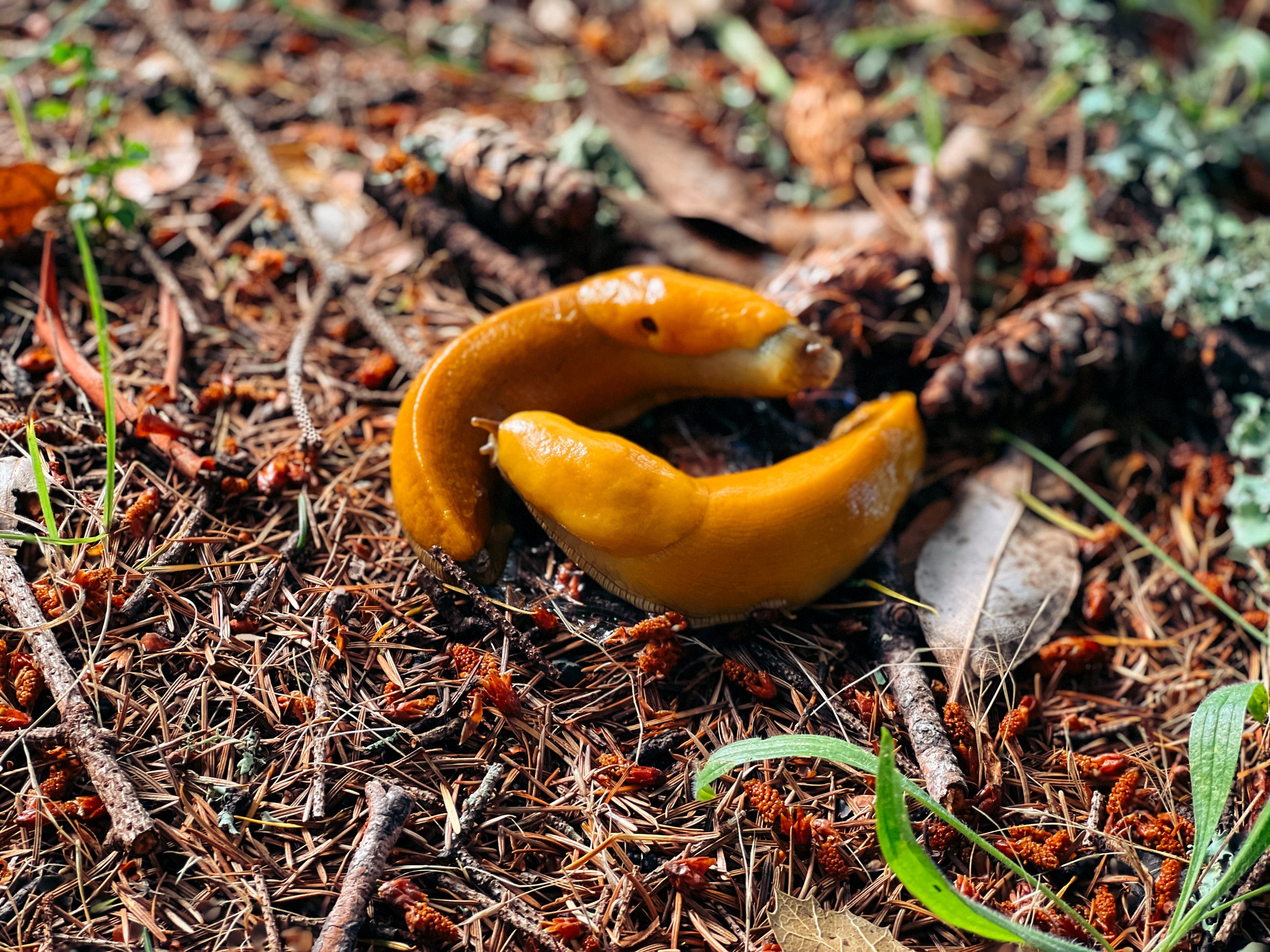
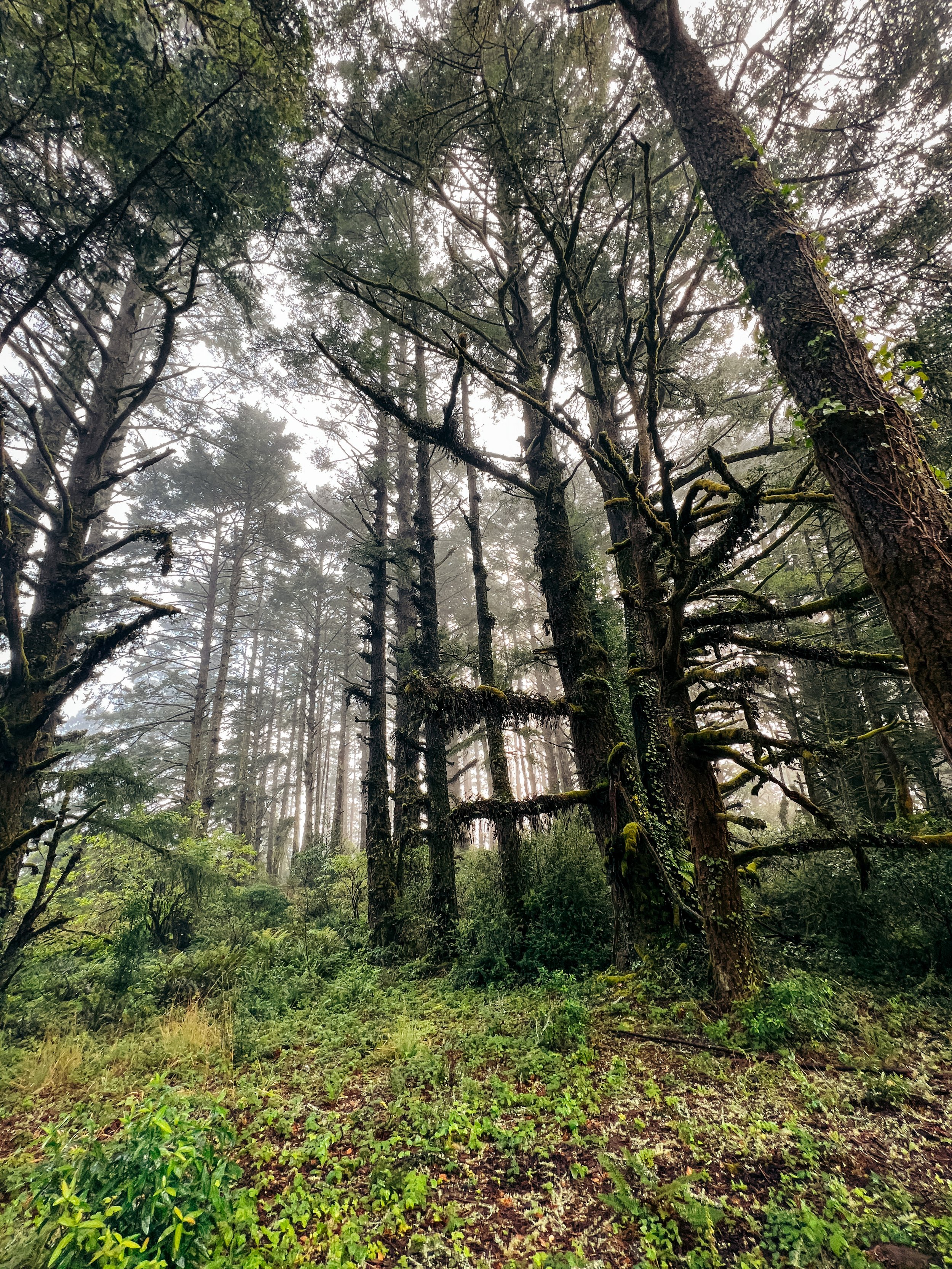
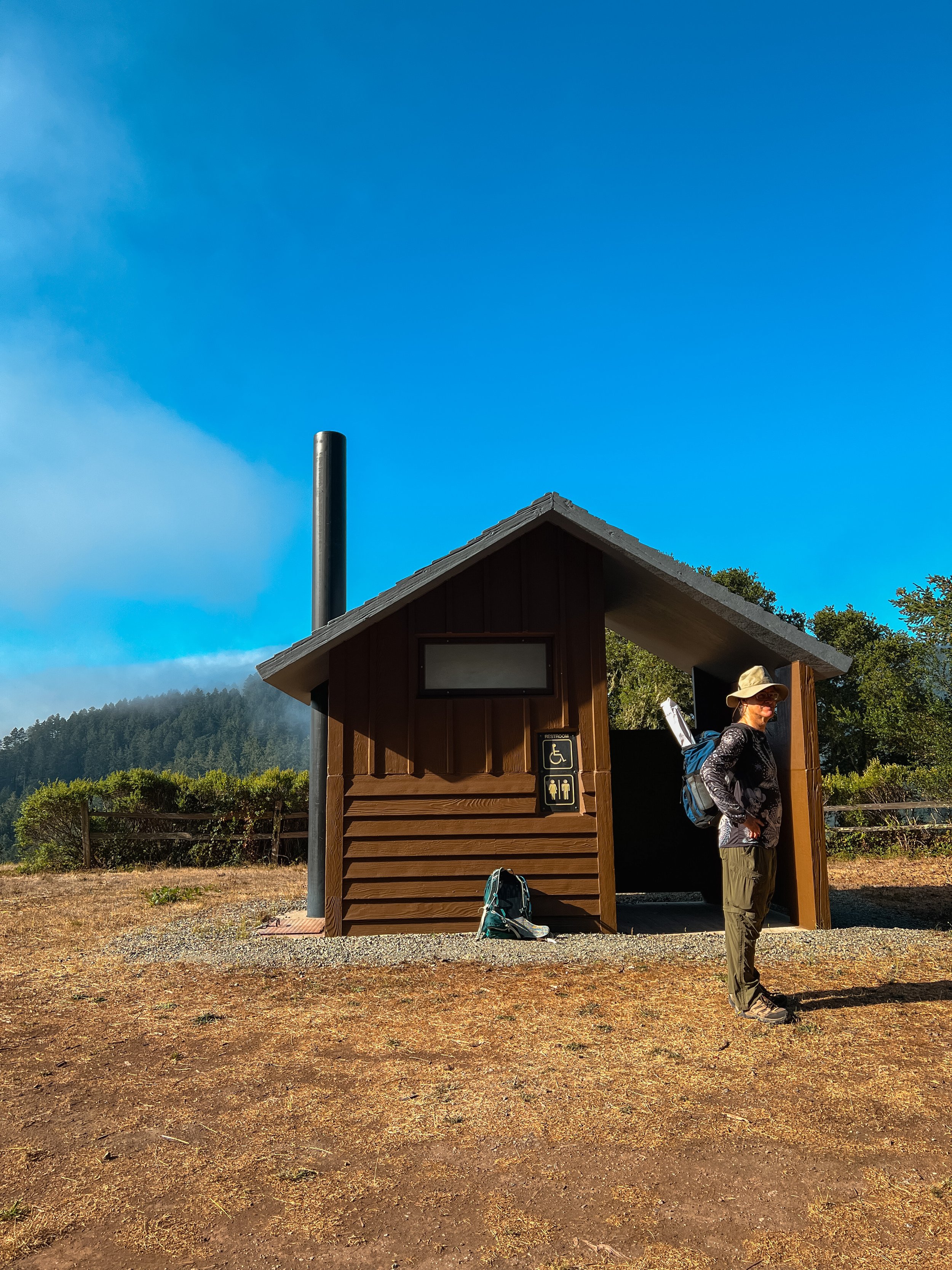
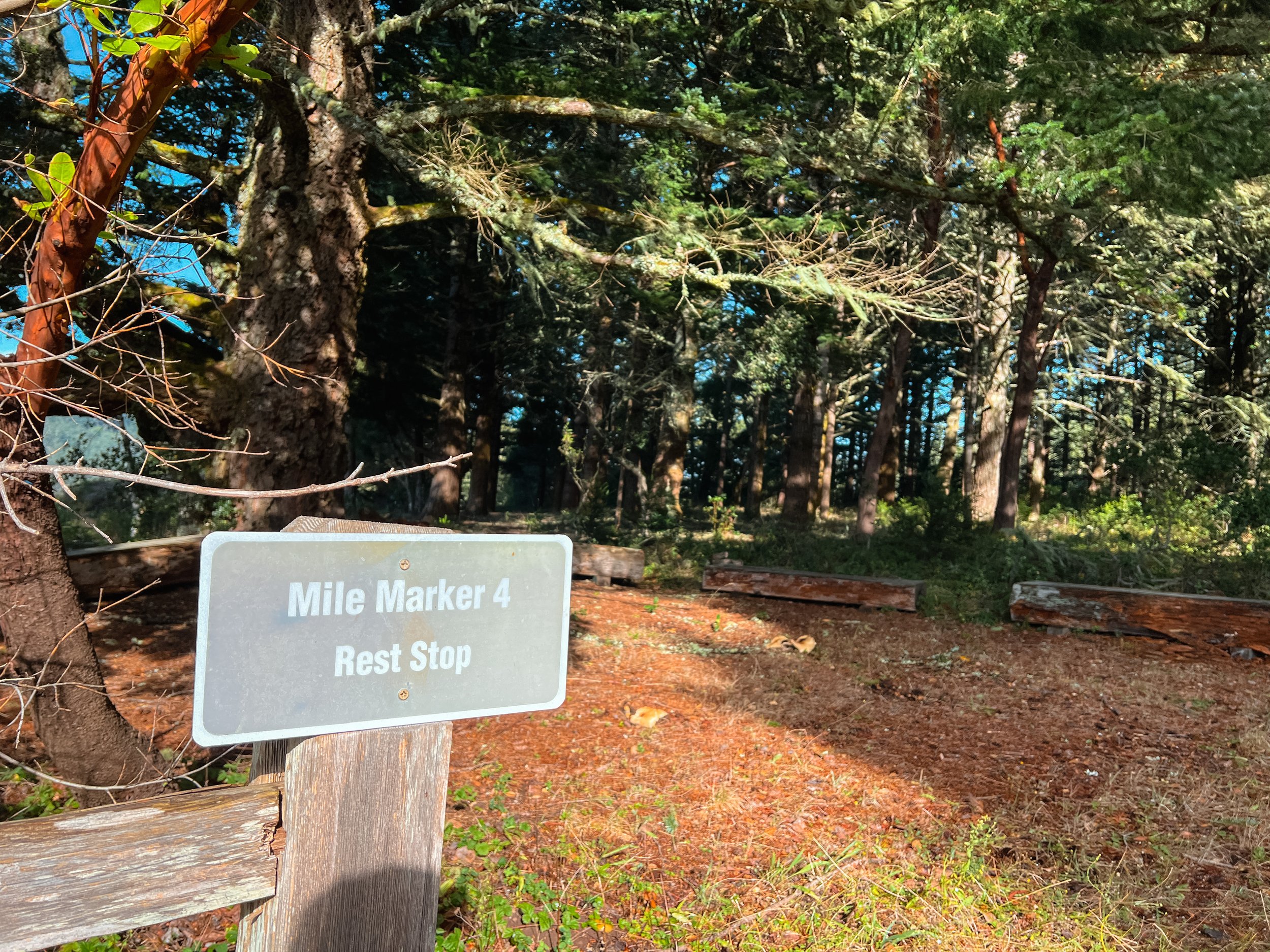
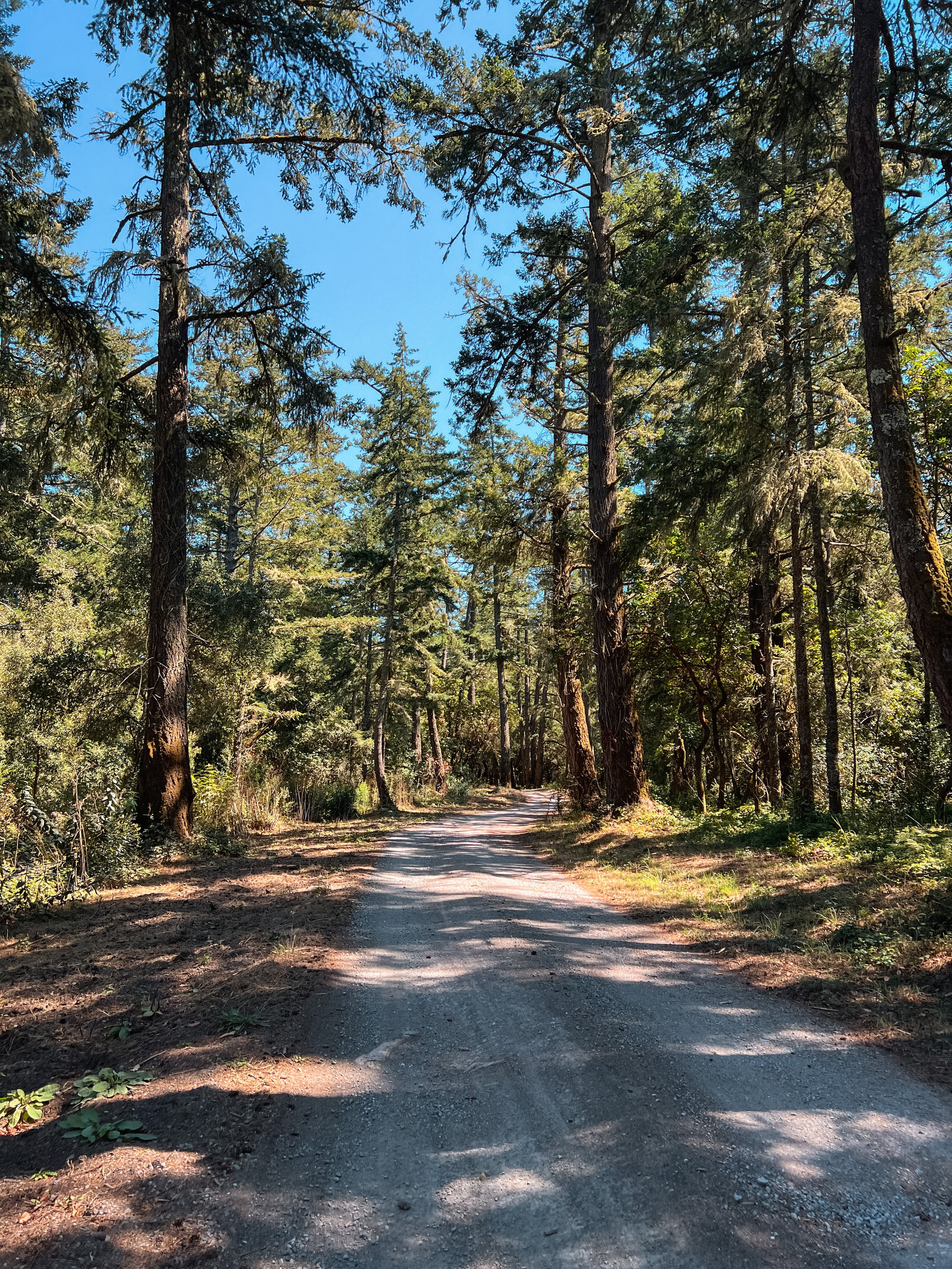
The trail started off in the foggy forest. Our docent, Thomas, explained how much moister it is in this area due to the ocean fog. Something I know in the back of my mind, but didn’t really think about. It was apparent that this moisture was a regular occurrence given the pretty large puddles we walked by at the beginning of the hike. The trail started off pretty mild, and the group got off to a brisk start, all of us feeling the need to warm up a bit on this cool August morning. There was a little bit of climbing on the way to the four-mile rest point (which was not actually at our four-mile marker), but nothing too extreme. The fire-road trail meandered through the trees, giving us views at the four-mile post and a little further on past that as well. We took out first rest at the four-mile rest stop where we used the pit toilets, admired the fog lingering in the hills, and found mushrooms and canoodling banana slugs.
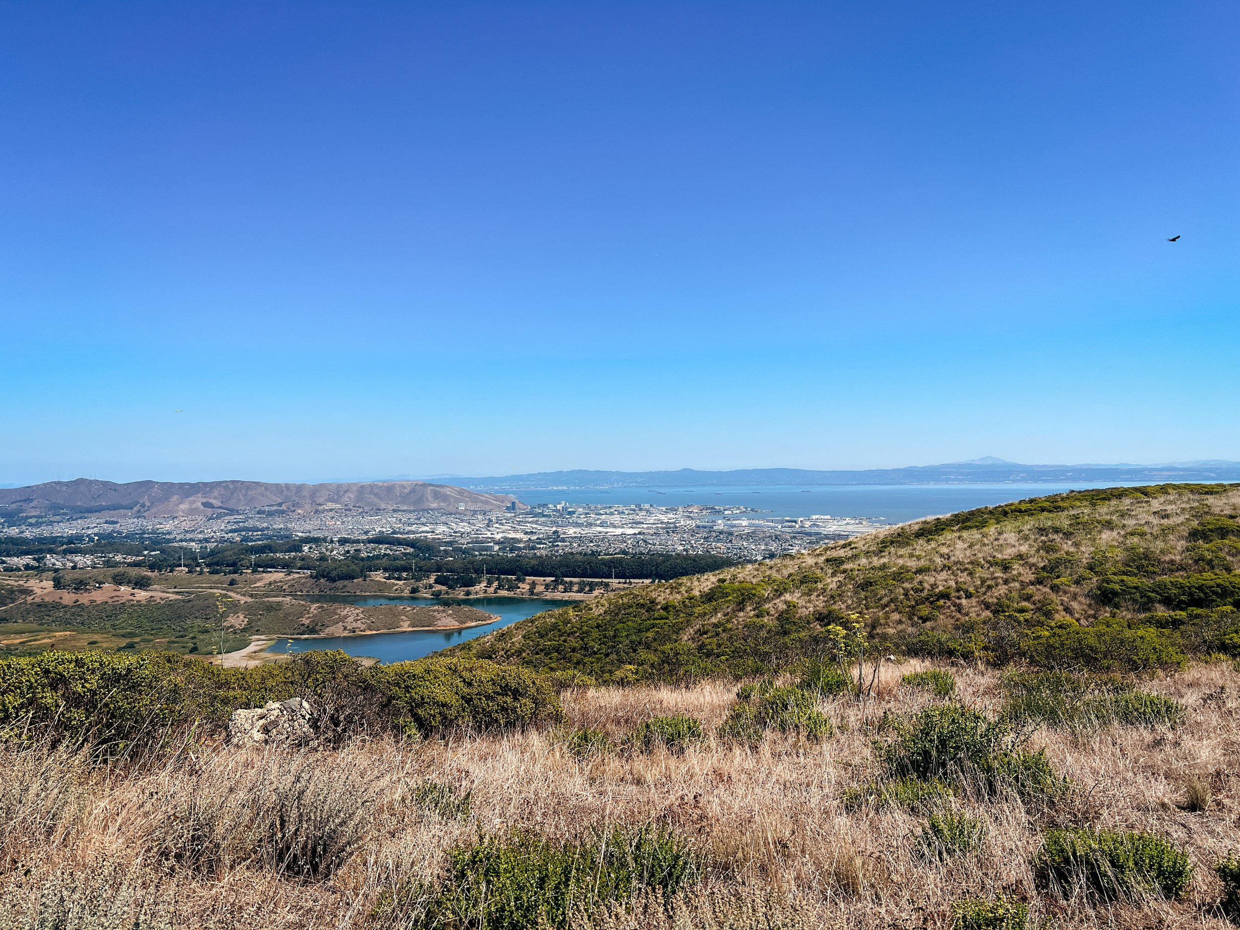
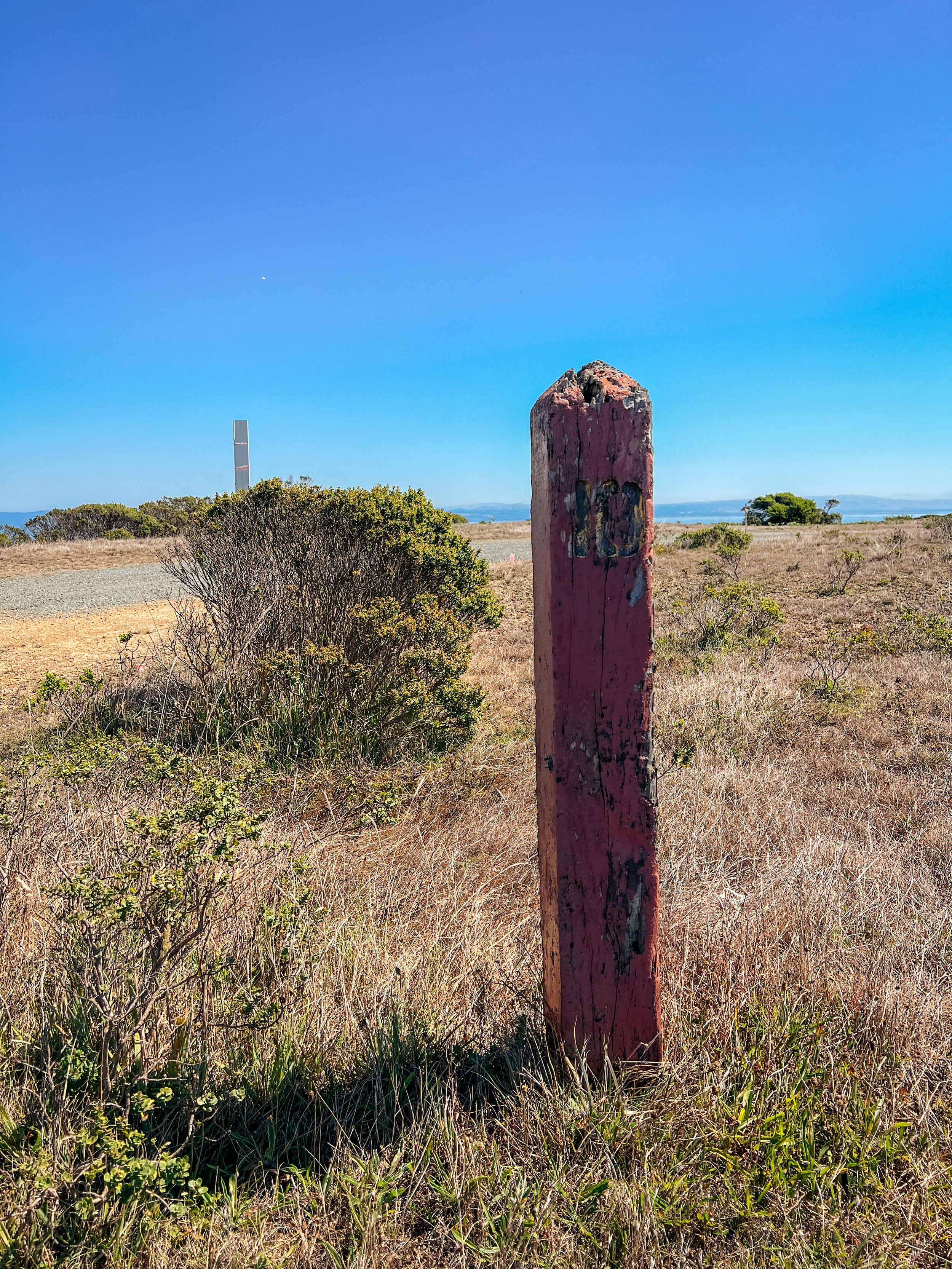
After another mile and a half of walking the road through the trees, with some moderate climbing, we arrived at Five Points, which is a section where - you guessed it - 5 different roads merge in one spot. We continued straight up the hill, eventually breaking through the trees and making it to the top of the ridge. From here, we had great views of the distant San Francisco, Mt. Tam, and Mt. Diablo.
The hike along the ridge was super lovely and mostly flat. We hiked along, all kind of inter-mingling and chatting with one another as someone decided to speed up or slow down. In this open spot, we yielded over for a bit as the mountain biking group caught up to us here, and we let them pass. Not too long afterward though, we were passed by a staff truck responding to a fallen mountain biker who was a little banged up, after falling during the downhill after the flat ridge part. Not being a cyclist myself, The trail looked pretty rocky and a little rutted where he fell, so I’m not too surprised. Biking this trail seems like it would be difficult!
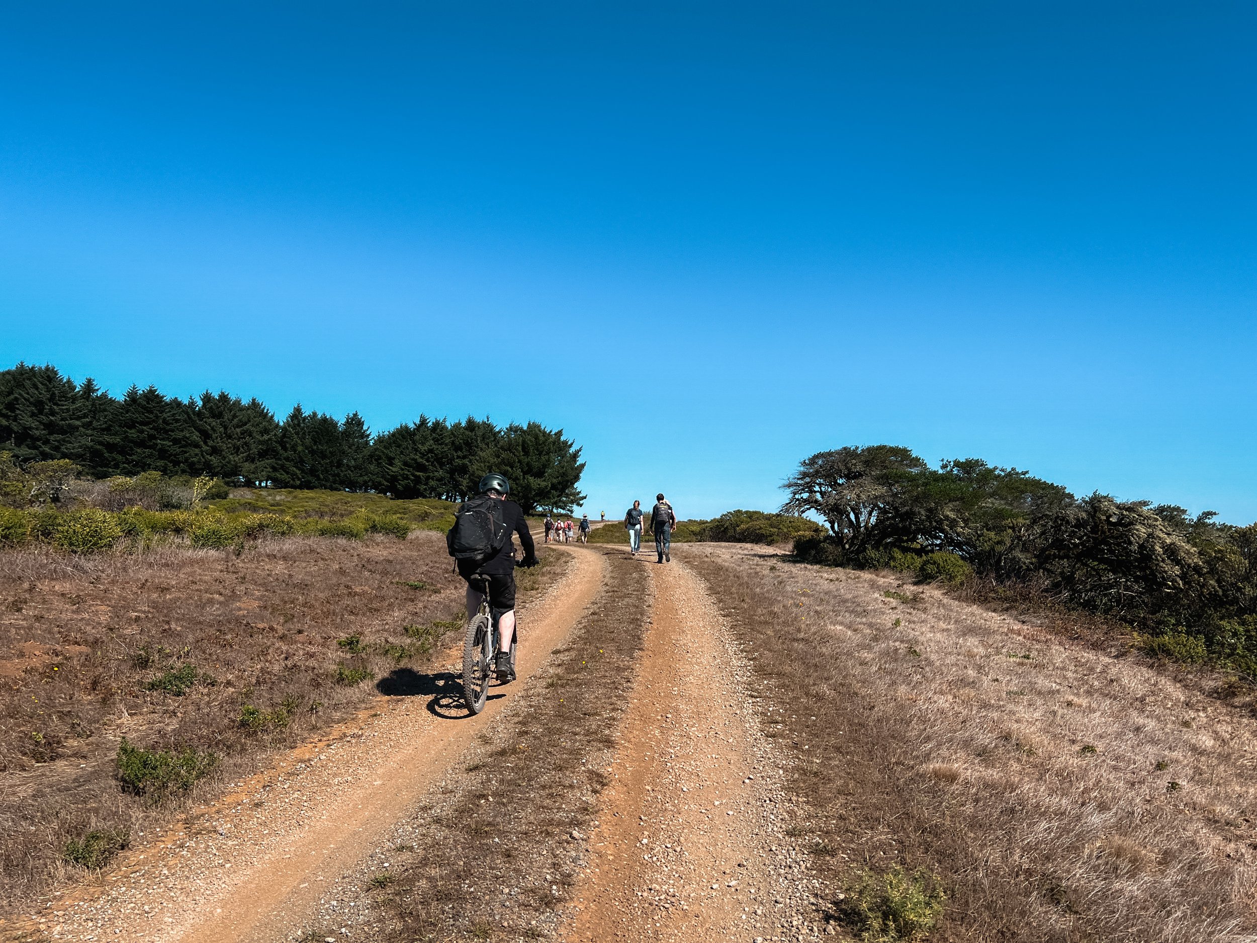

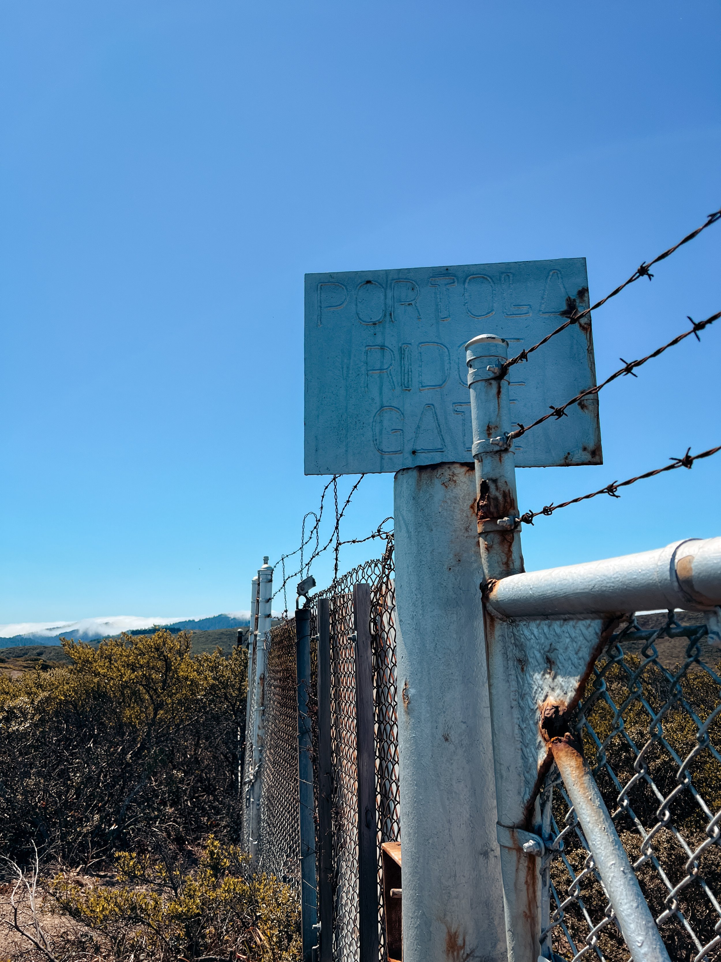
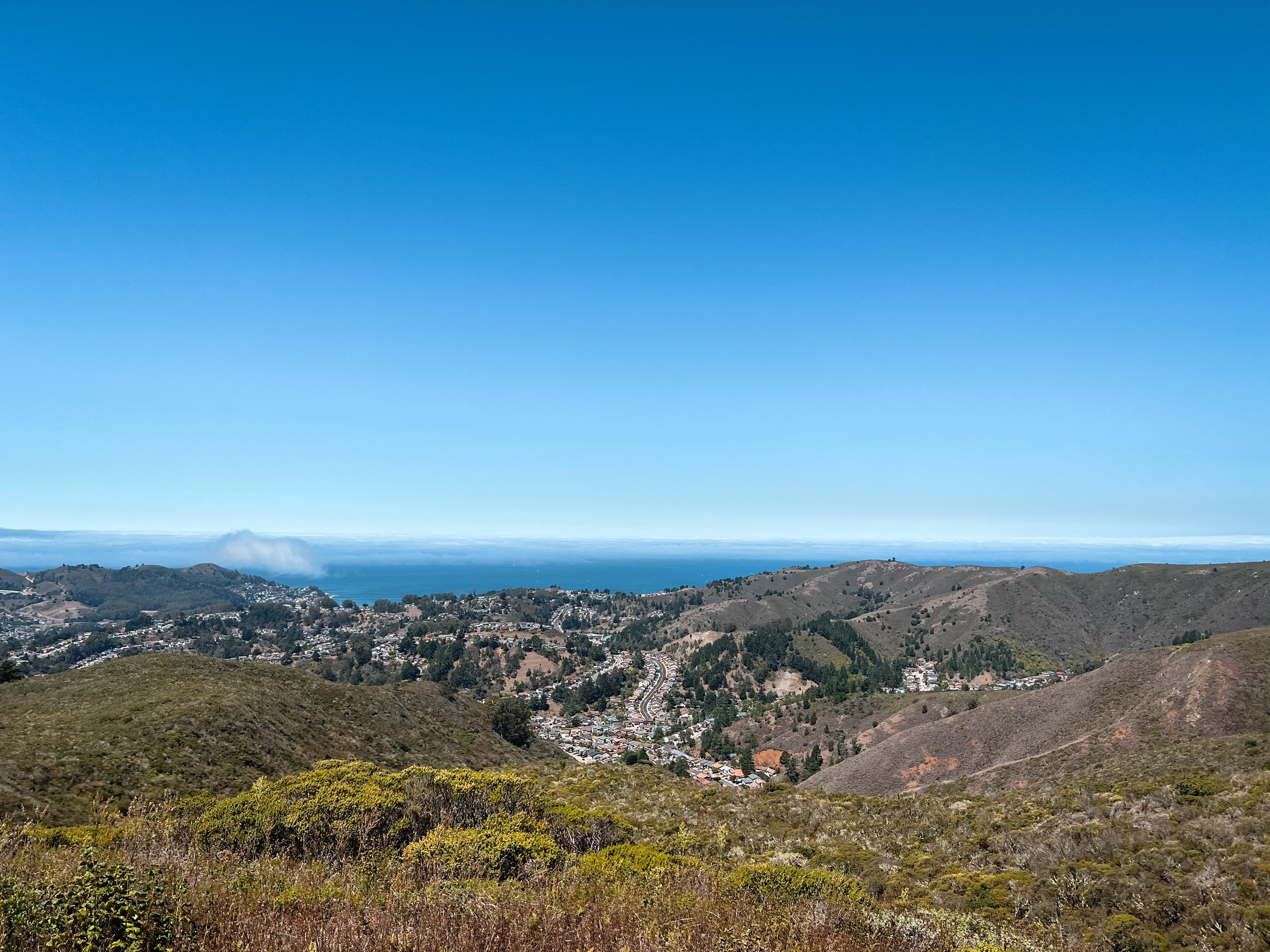
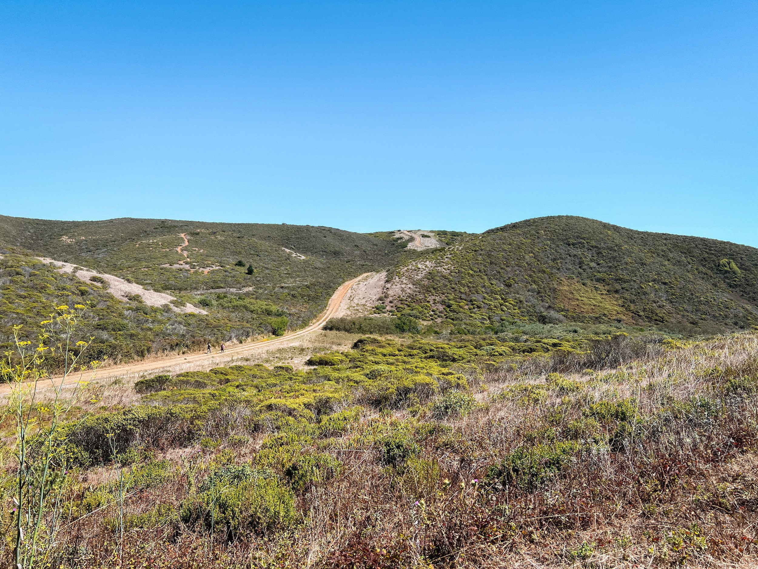
Before we veered downhill, we were treated to ocean views with the fog moving out, overlooking the town of Pacifica. Here’s where the trail turned into the most strenuous part so far. We walked uphill, which was a shorter steep jaunt, then downhill, which was fine, though definitely steep, and then we had a pretty decent climb right afterward, which brought us to the Portola Gate. In the photo below with the trail, you can see the climb we were about to do from about halfway down the downhill. It wasn’t too bad, but at the end of 8 miles, and knowing we still had plenty of uphill once we turned around to bring us back up to the views overlooking Pacifica, we were all starting to feel a little tired. Plus, as you can see, the sun was out now, and while - thankfully - there was a breeze, it was still about 70°F-ish.
Once we got to the gate, I was super happy. Another pretty long section of continuous trail now almost complete! We hung out at the gate for a bit, and pondered as a group where to take lunch. Since it was exposed here, we decided to hike back and find a better spot. So, we did the strenuous part in reverse. I was starting to feel the distance in my legs. It had been a decent amount of time since I’d hiked over 10 miles in a day.
We found a nice stretch of trail with some logs or benches (I can’t remember which at this time) past the overlook of Pacifica. It was nice to take a sitting break - the first we’d had of the hike. After about 30 minutes of eating and chit-chatting, we were off again. Luckily, most of the trail was downhill after this, with only a few uphill jaunts. I could almost hear my hip flexors screaming at me for how long we’d been walking. Once we hit the four mile rest stop, I was pretty excited: we only had another two miles or so to hike. Once we got back to the car, I was pretty beat, and ready for a second lunch!
Overall, the trail and the views were super pretty. I felt very lucky to be able to hike this portion of trail and see views that only a small percentage of people in the Bay ever get to see. I remember as a kid when driving north on 280, I’d look up at these mountains above the reservoir and wonder what the view was like from up there. And now whenever I drive along, I know that 1. You can’t see 280 from this trail, and 2. the Fifield-Cahill portion is actually a ridge in the middle of the ocean-side ridge and reservoir-side ridge. So the folks driving on the freeways have no idea that this ridge is tucked in there!
If you are on your Ridge Trail journey and are nervous about doing this hike due to length, I wouldn’t worry too much about it. Get a few longer hikes under your belt (of at least 10 miles) that have at least 1,500 ft of elevation gain in them, and you will be fine for this hike. Most of the trail is really well-graded, and it won’t feel like a never-ending slog of elevation gain. Come prepared for a bit of monotony -scenery wise - and some conversation pieces so you can socialize with the group, and you’ll have a blast!