John Muir Trail Journal: Part 3
Days 14-19: Muir Trail Ranch to Woods Creek
JMT DAY 14 - 8.22.20
Muir Trail Ranch to South Fork San Joaquin River (mi 115.3) // 7.1 miles (1.5 on MTR trail) +1,200, -400 ft
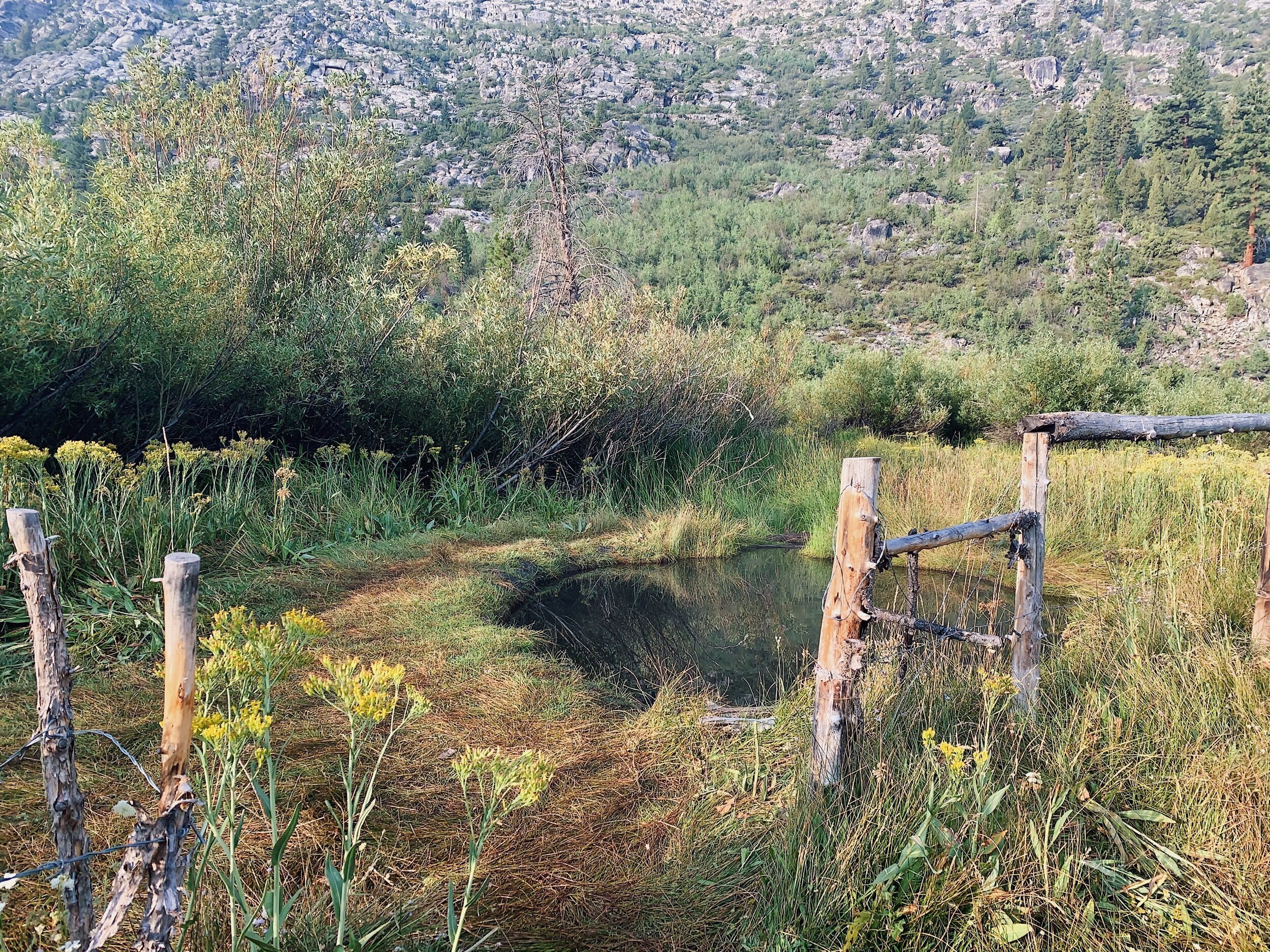
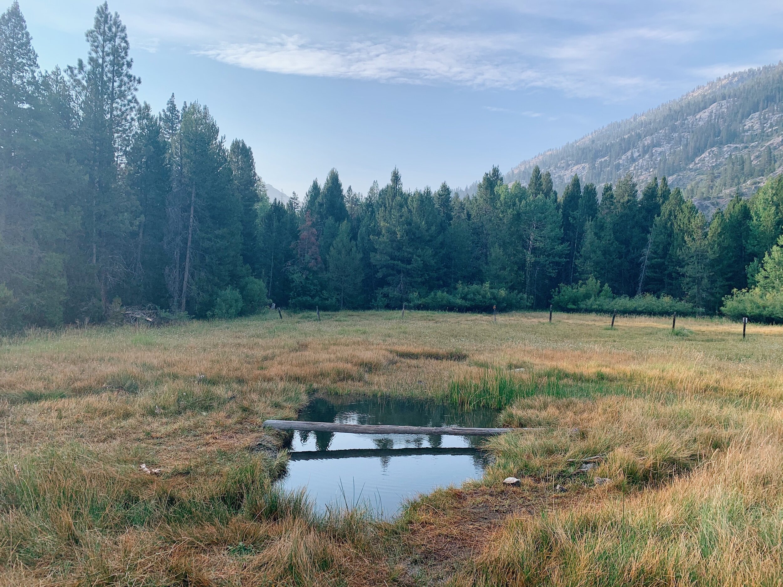
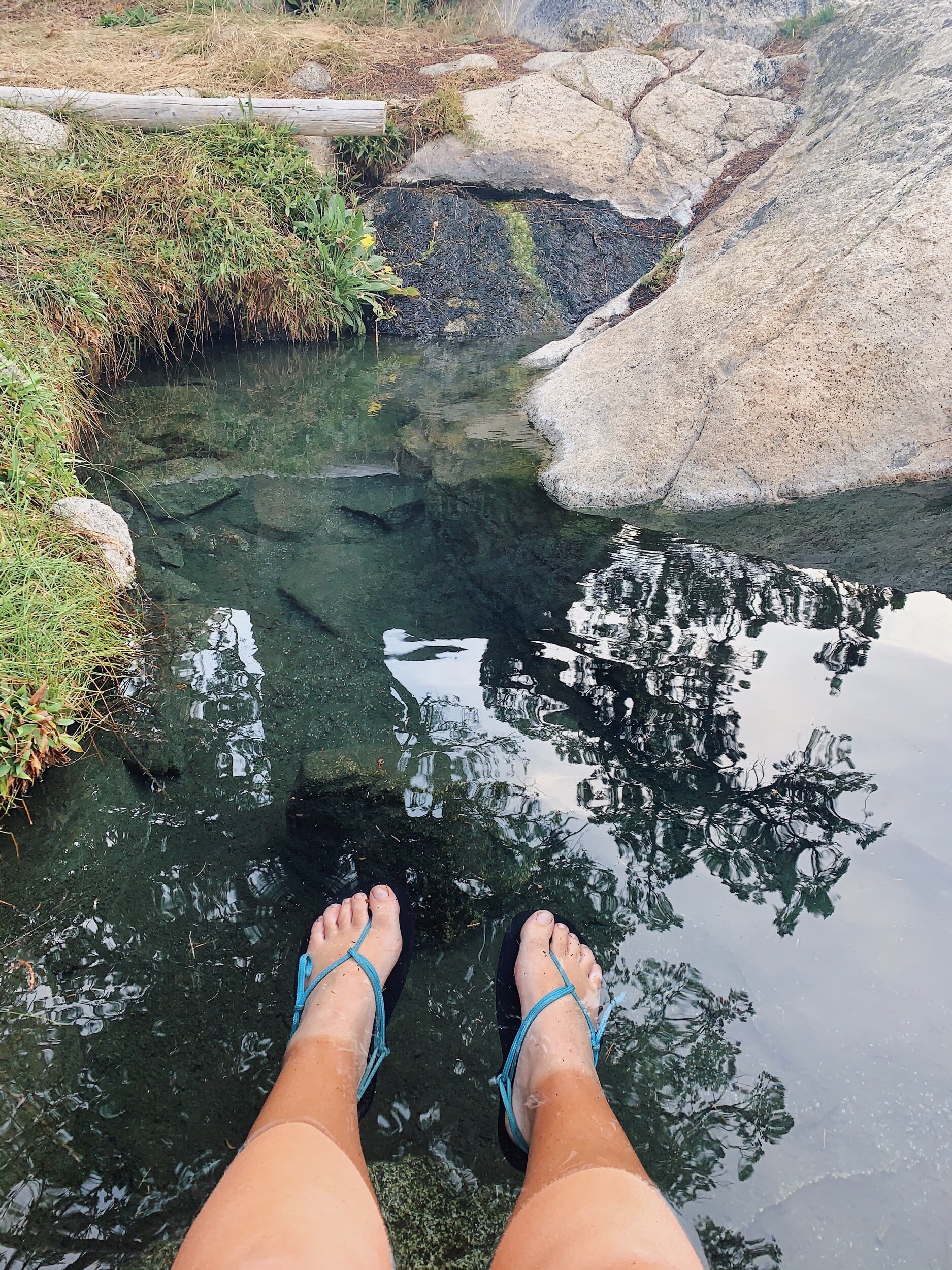
We had a very leisurely morning today! I woke up around 6 to go to the bathroom and just lay down, then walked over to the store area at 7 to plug in the power brick. When I got back to the tent, Mom was getting ready so I started getting dressed too. I wanted to go check out the hot springs across the river, so after getting ready, we went over there. You have to ford the river first, and Mom tried, but her flip flops were not up to the task, and she nearly lost them. Not wanting to go across barefoot or with her hiking shoes, she stayed back and I went over to explore for a little bit. I found the hot springs - 3 nice pools - and soaked my legs in one of them for a few minutes. I wish Mom had made it over with me! No one else was there in the morning and it was super peaceful in the meadow where they were all located.
After a quick dip, I went back across the cold river and back to camp. We ate breakfast and then packed up all of our things and went over to the store. The charging was not finished yet, so we just sat around, sent a postcard, ate some snacks, and chatted with other hikers as they came in. Finally at 11:00 am, the charging was finished, so we left MTR and made our way back to the JMT on a much nicer trail than the one we came in on. We ran into Jackie #2 - who we couldn’t believe was behind us! - on the way out. Turns out she took a zero day at Marie Lake. I am in awe of people who can take zero days out in the wild. I get too bored! I guess if I had some entertainment, it wouldn’t be so bad.
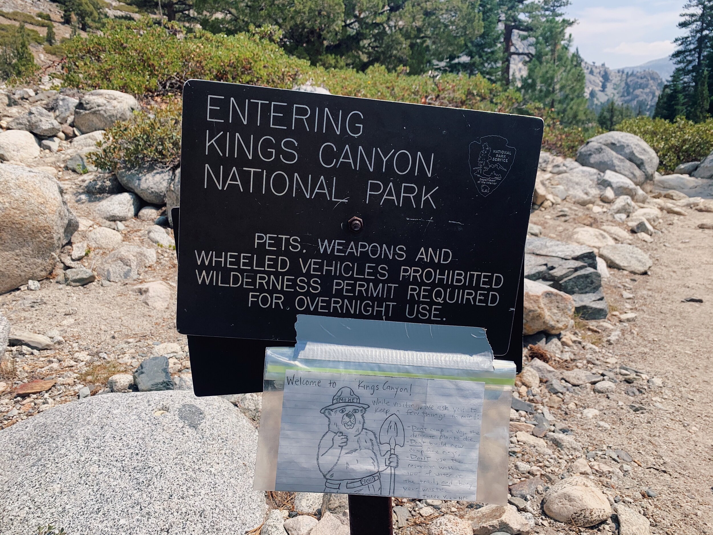
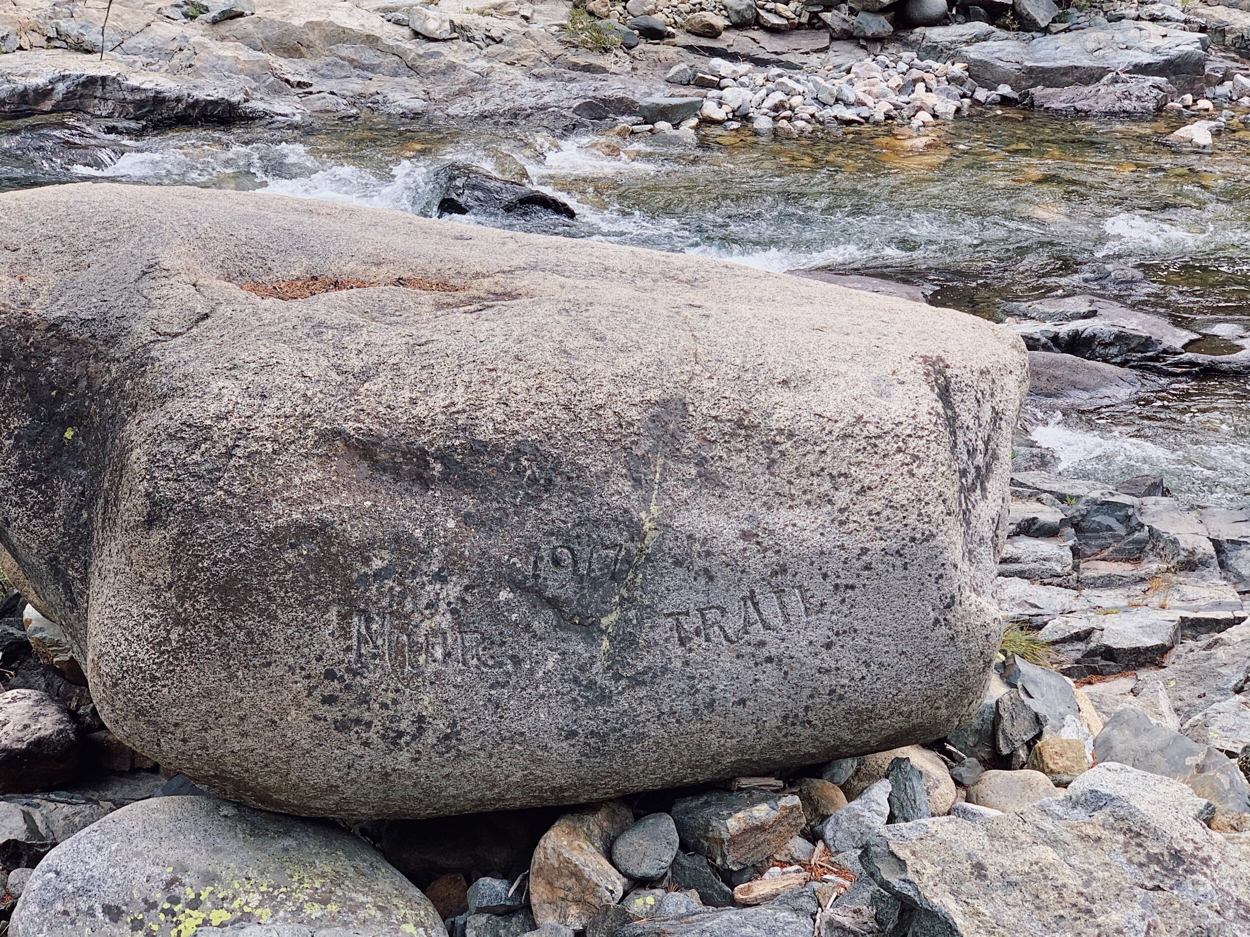
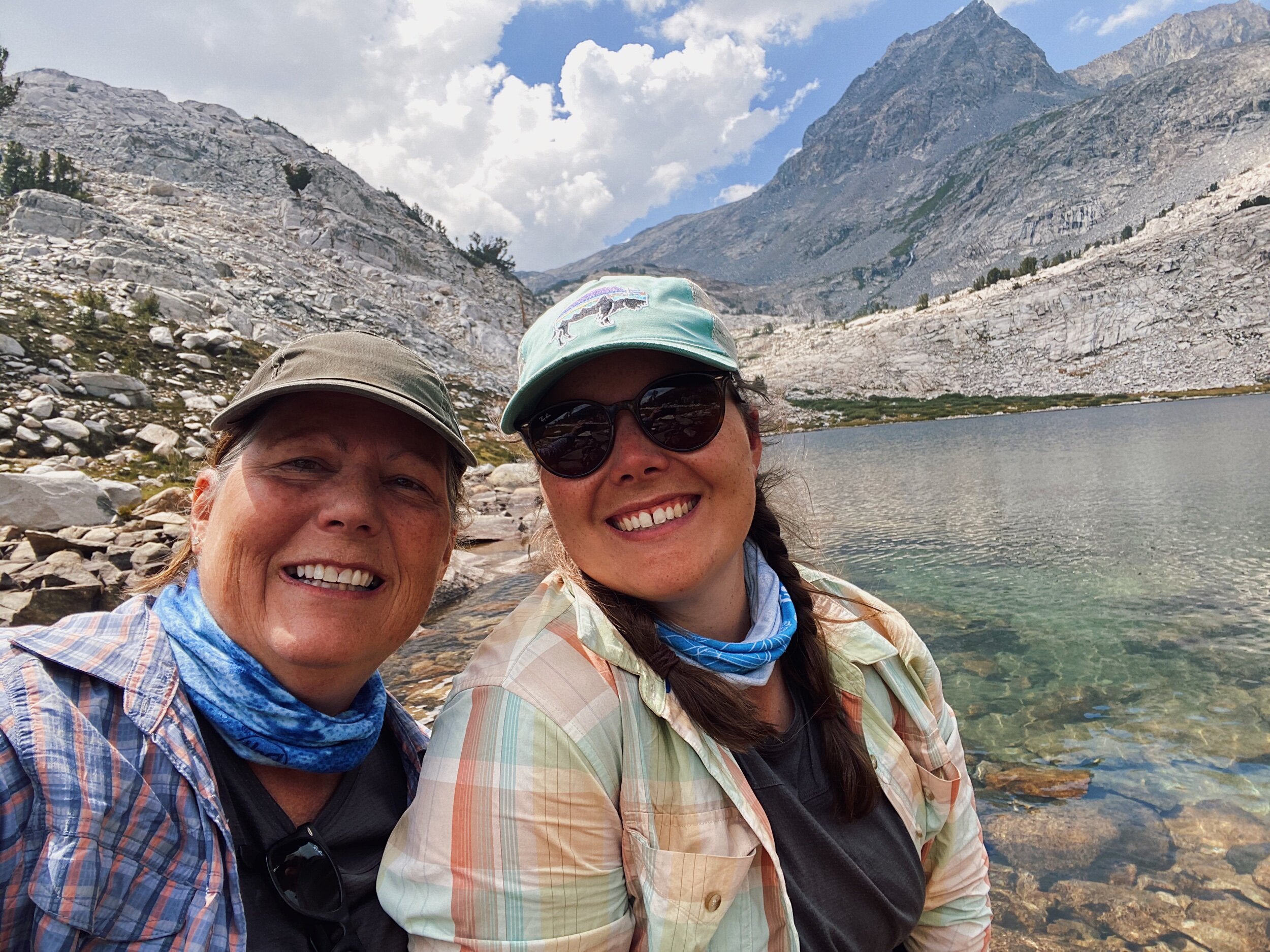
Once on the JMT, we had about 2 miles to hike until the Piute Creek Bridge, which is the official border of Kings Canyon National Park! When we got there, we saw sooo many people. There’s another trail that heads to the eastern Sierra over Piute Pass and also into French Canyon, and it was a Saturday, so lots of people around! We also found Lauren on the other side of the creek, so we went over there to hang out with her for lunch. We had a great time and found out our schedules are pretty much in alignment until Glen Pass, so we think we’ll hang out with her a lot! We both really enjoy her company. I love being with Mom, but it’s nice to have someone else to chat with too.
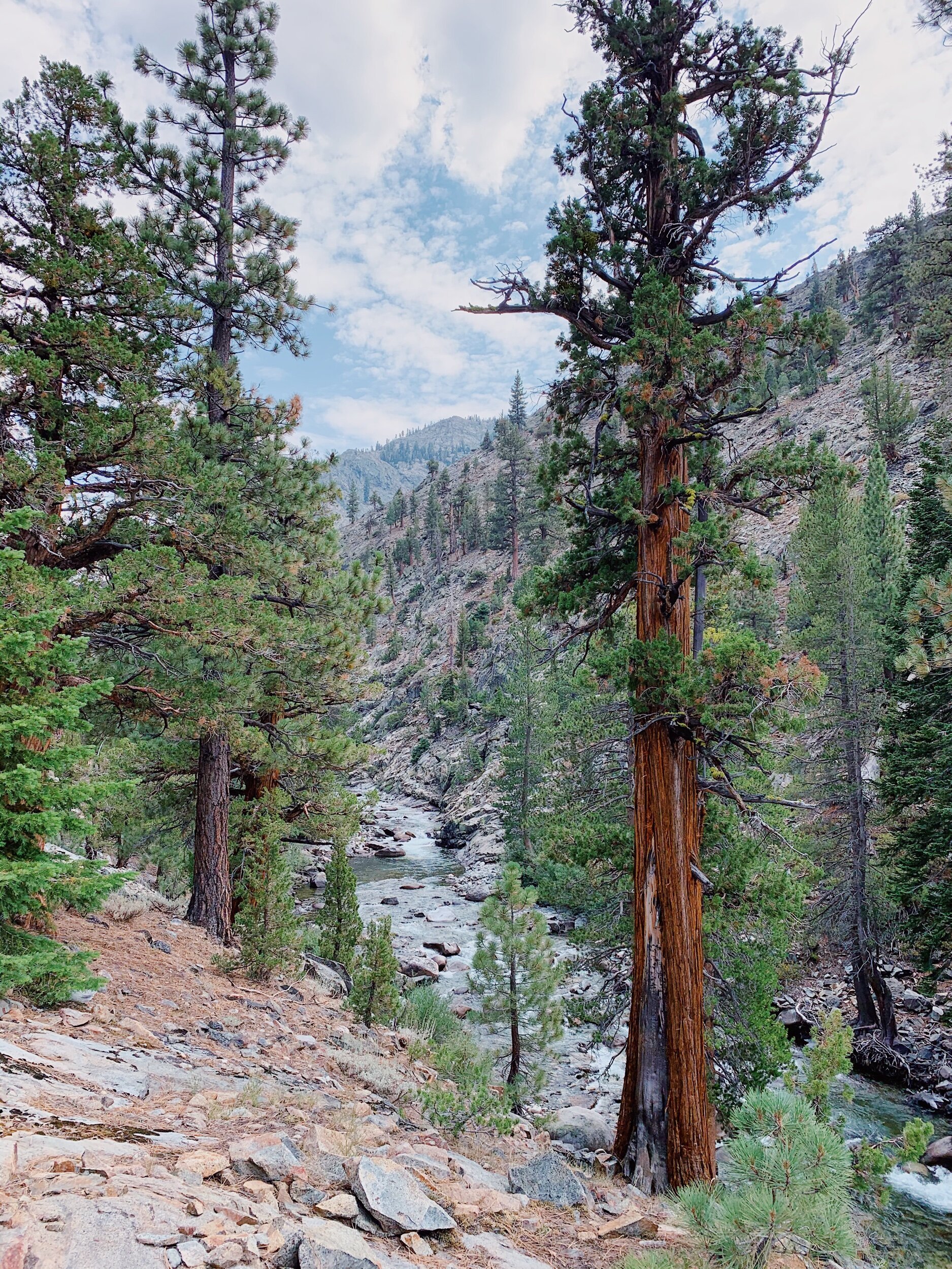
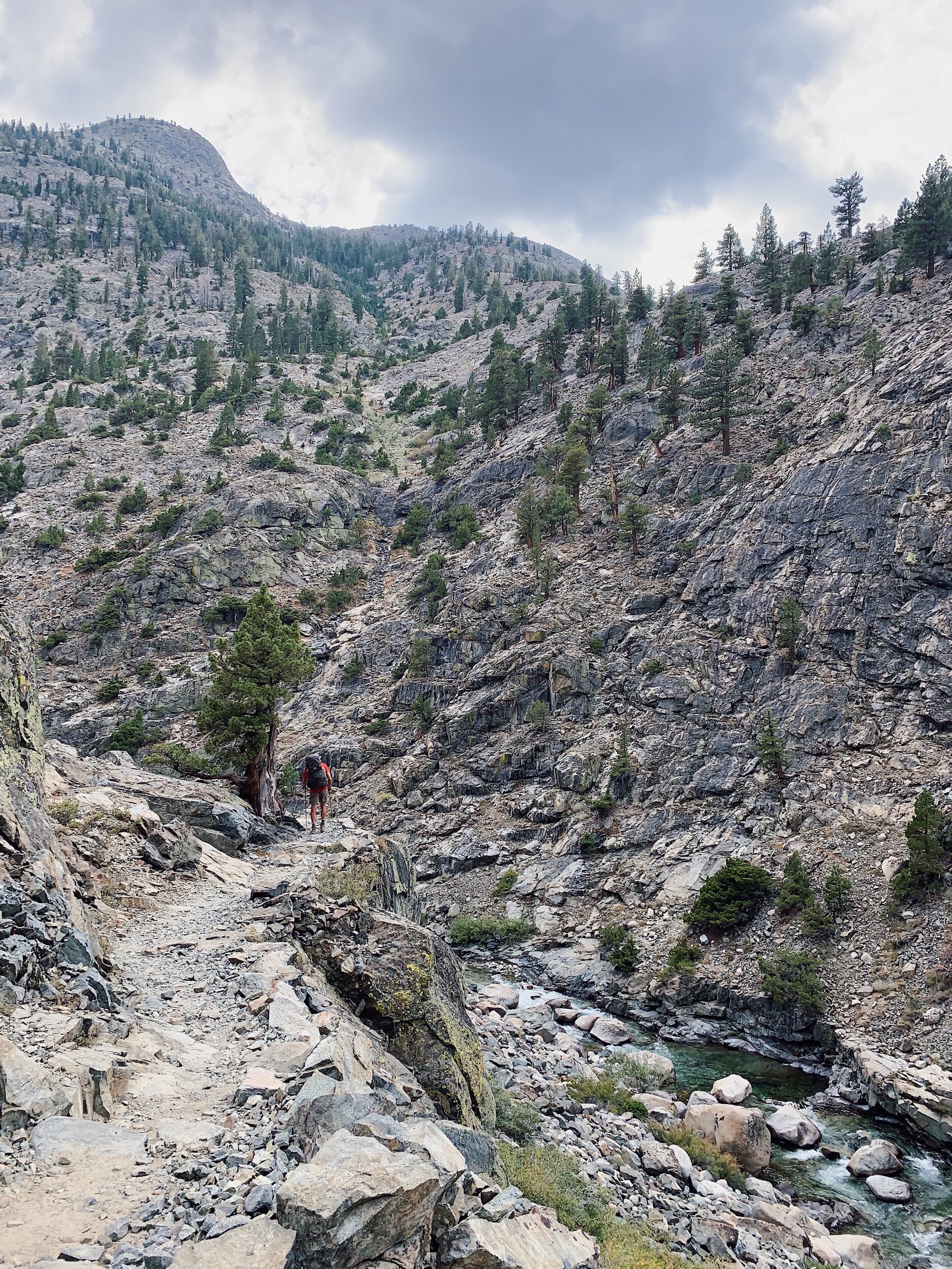
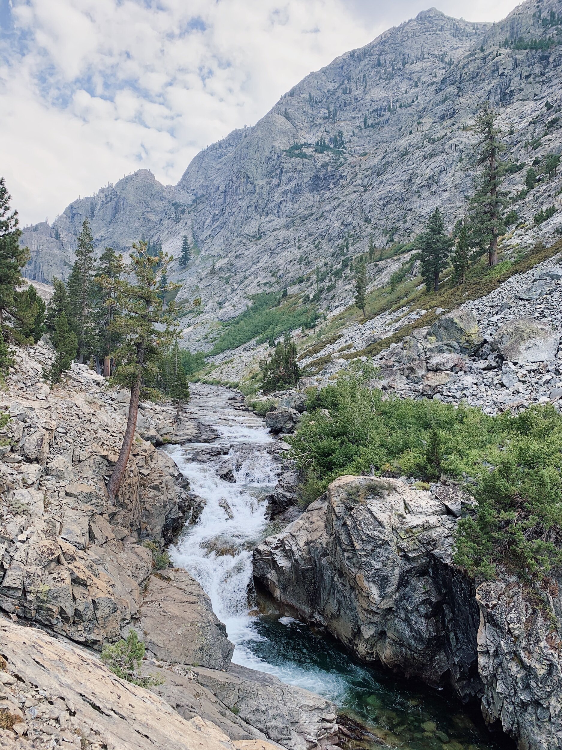

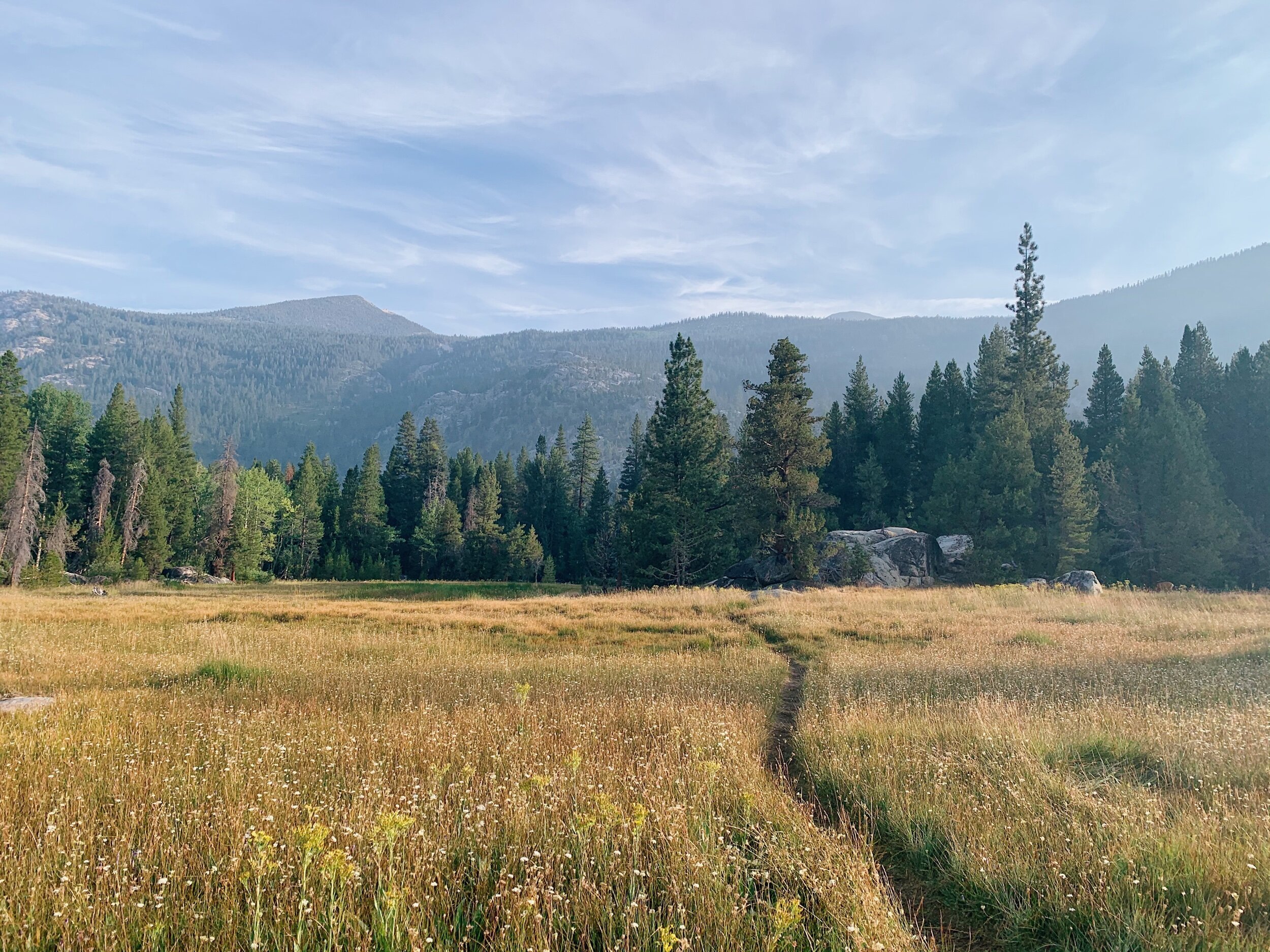
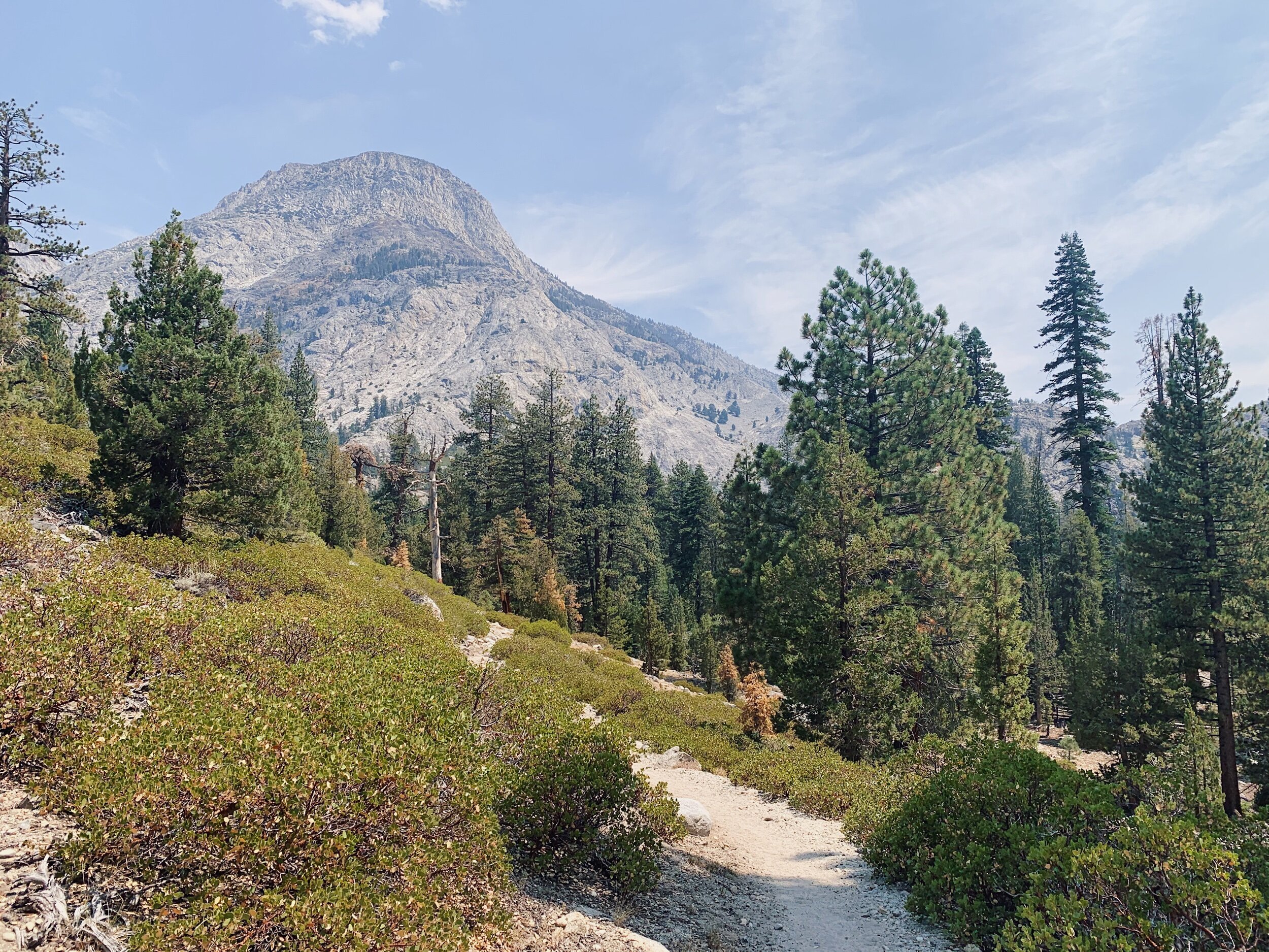
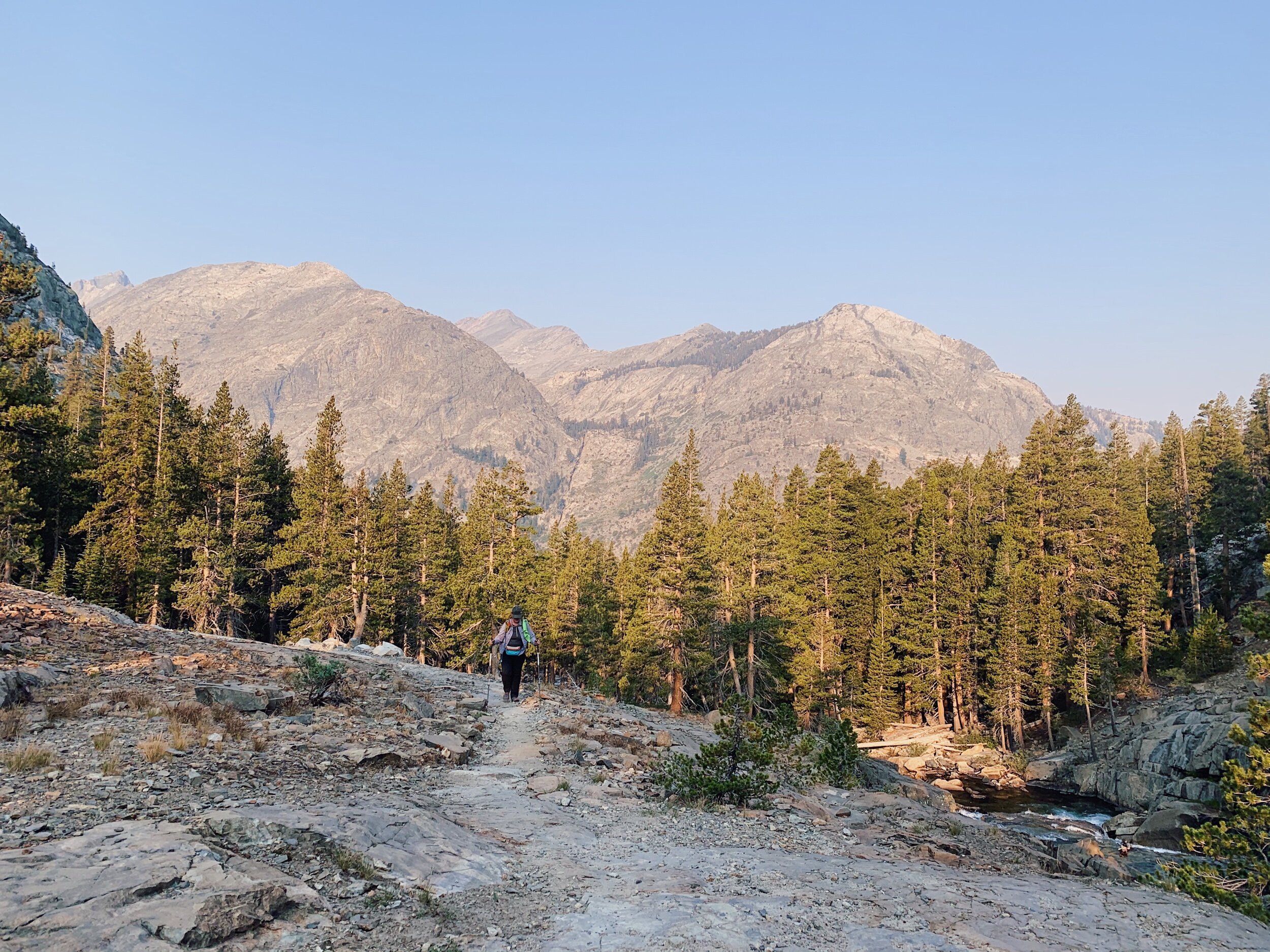
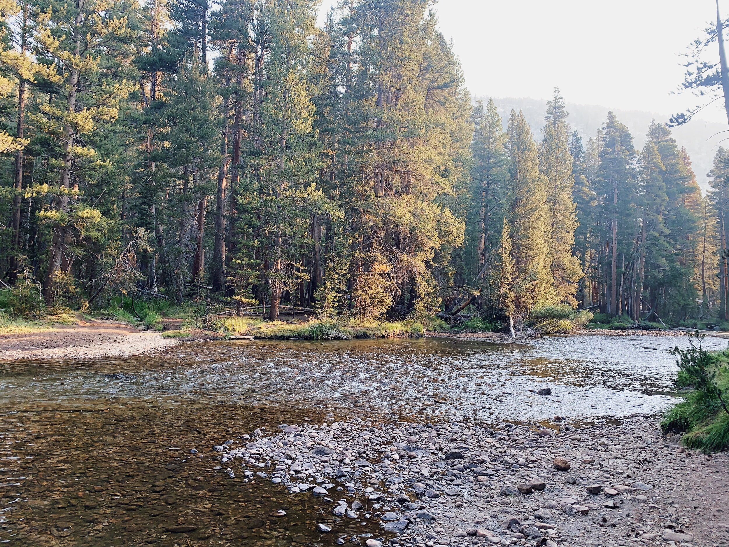
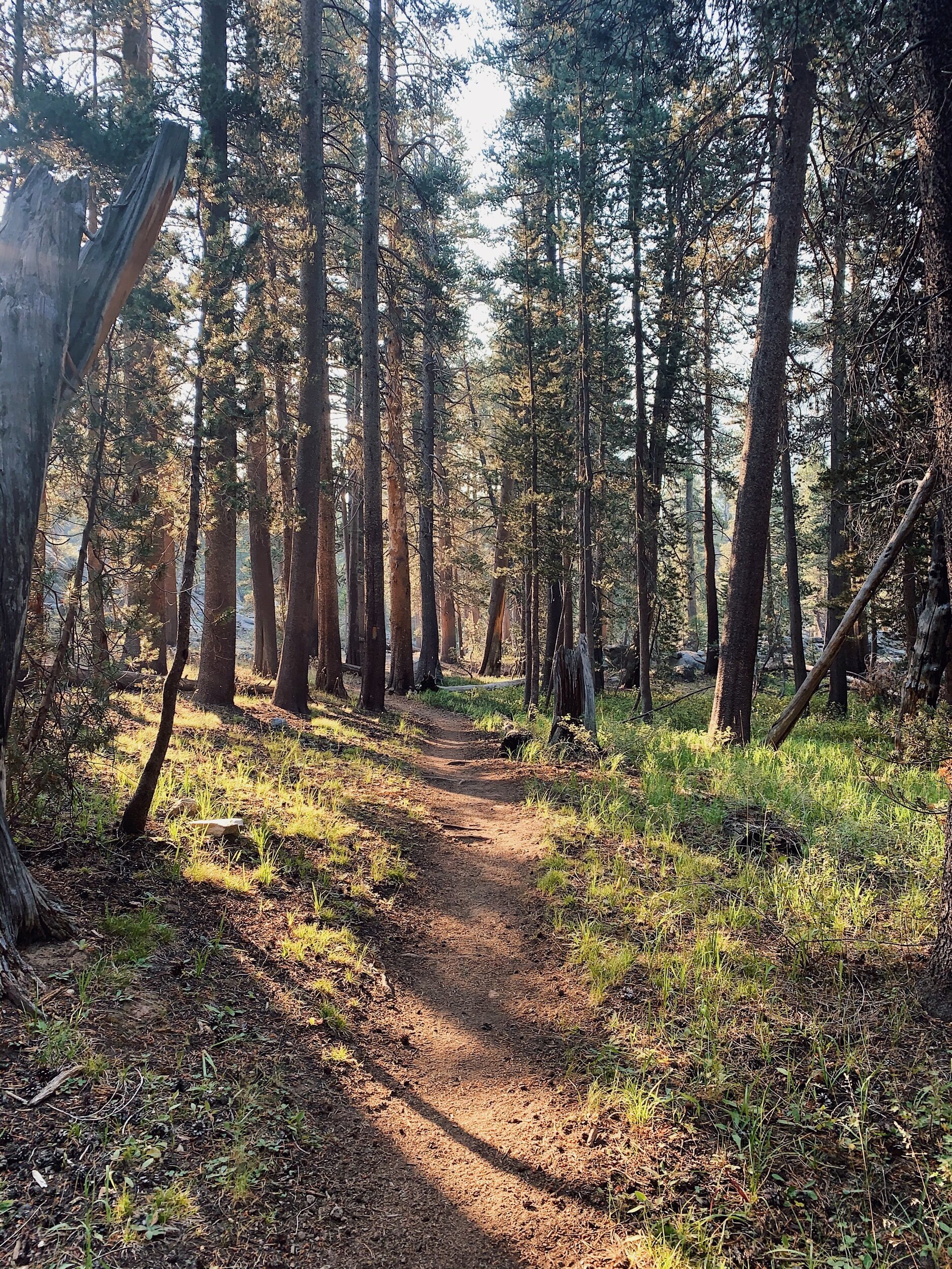
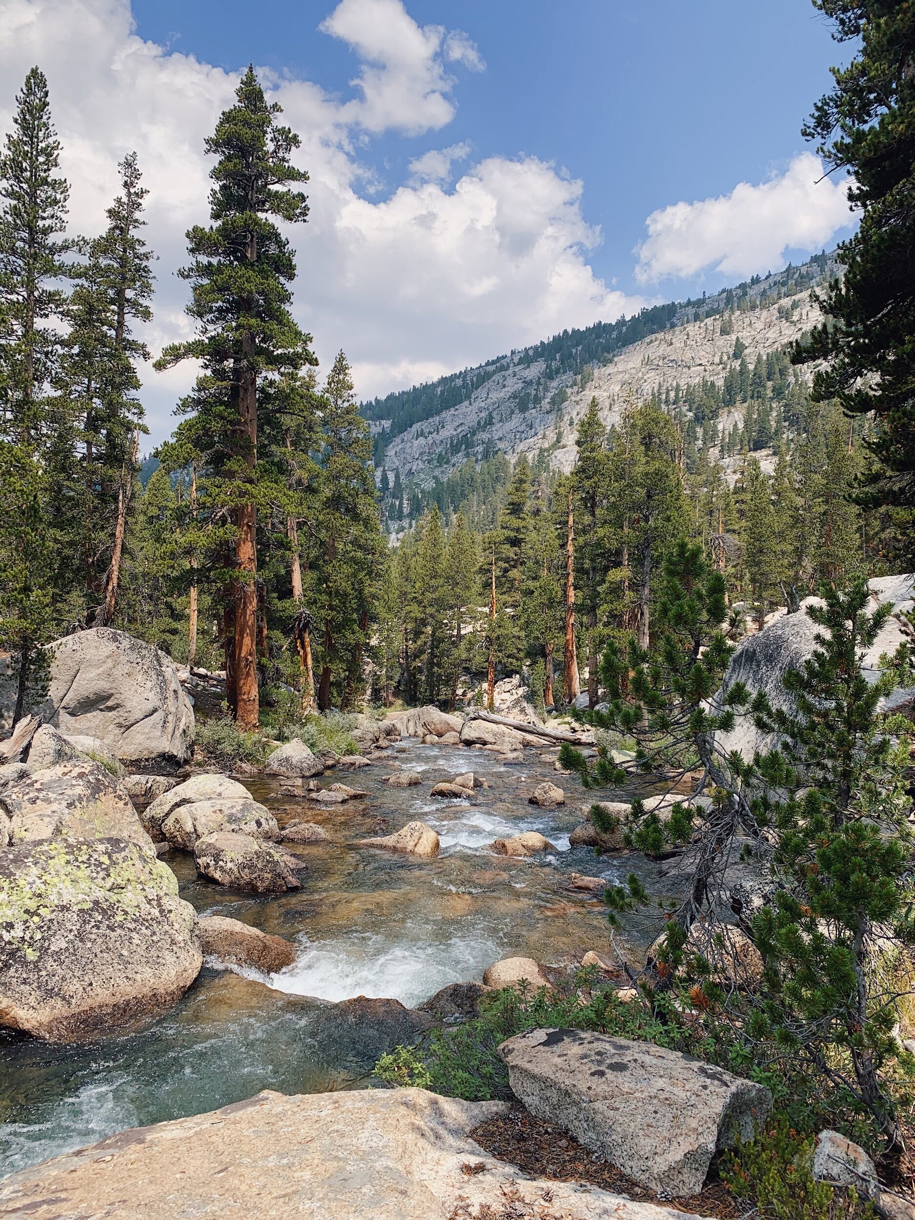
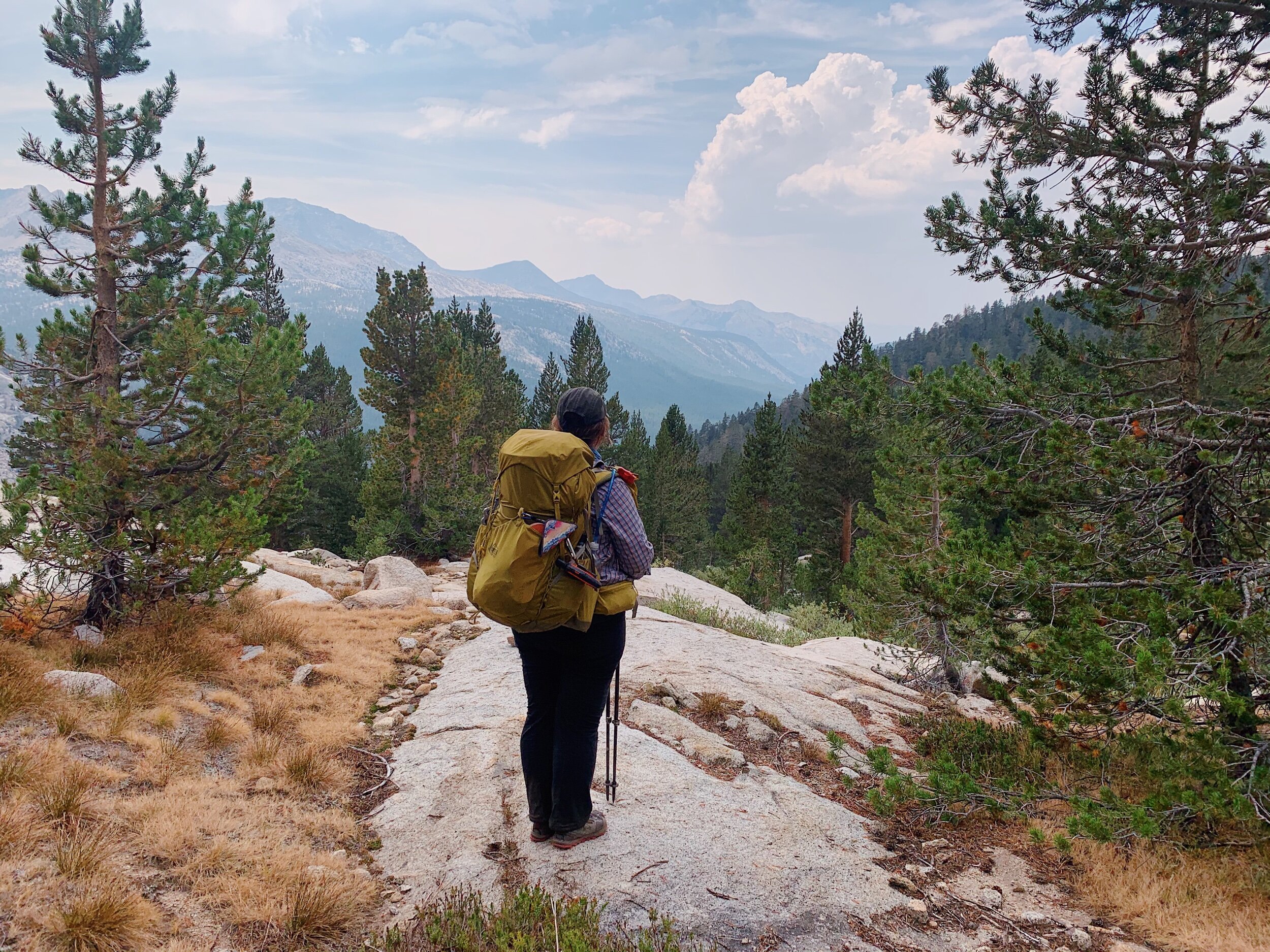
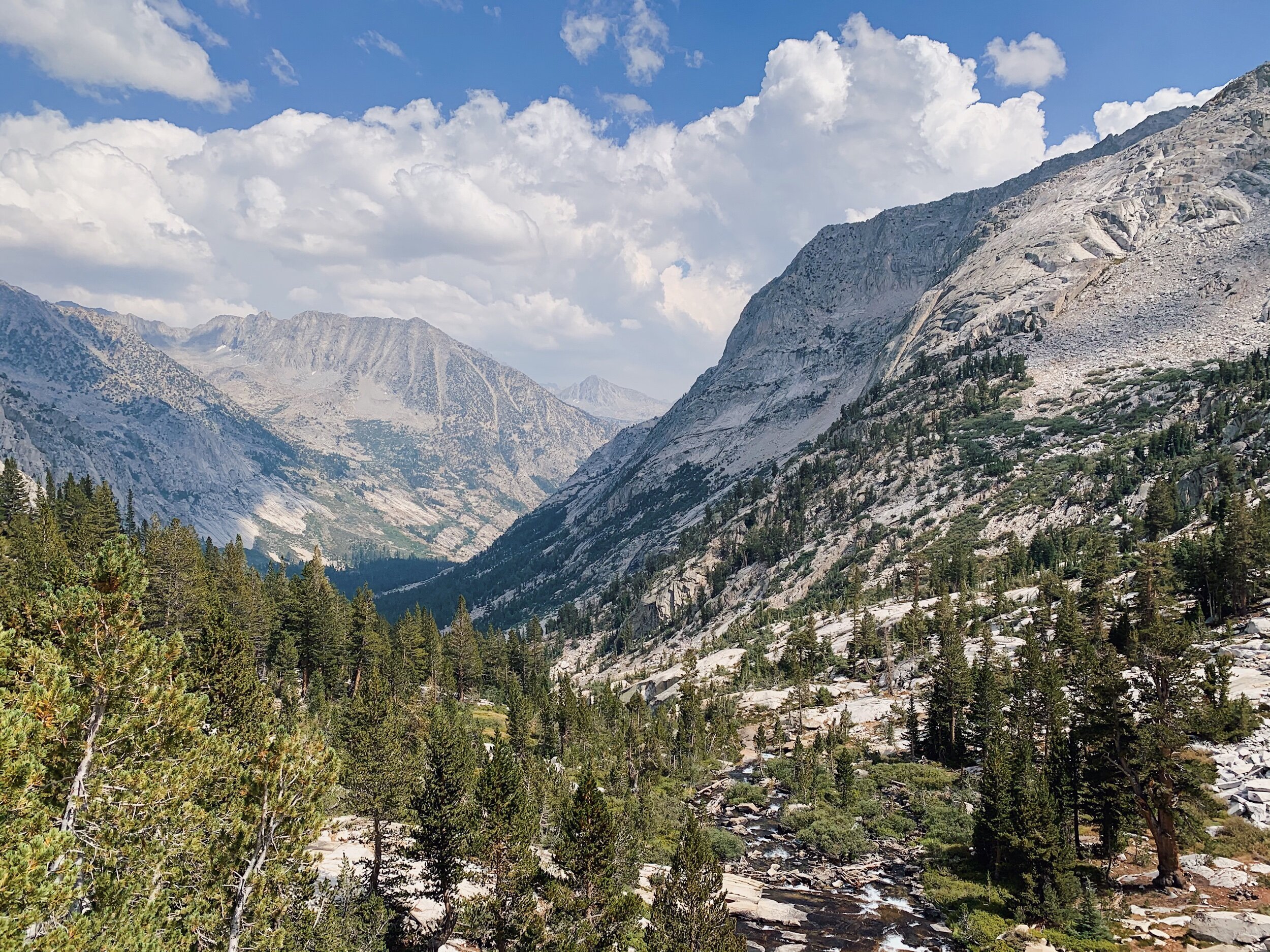
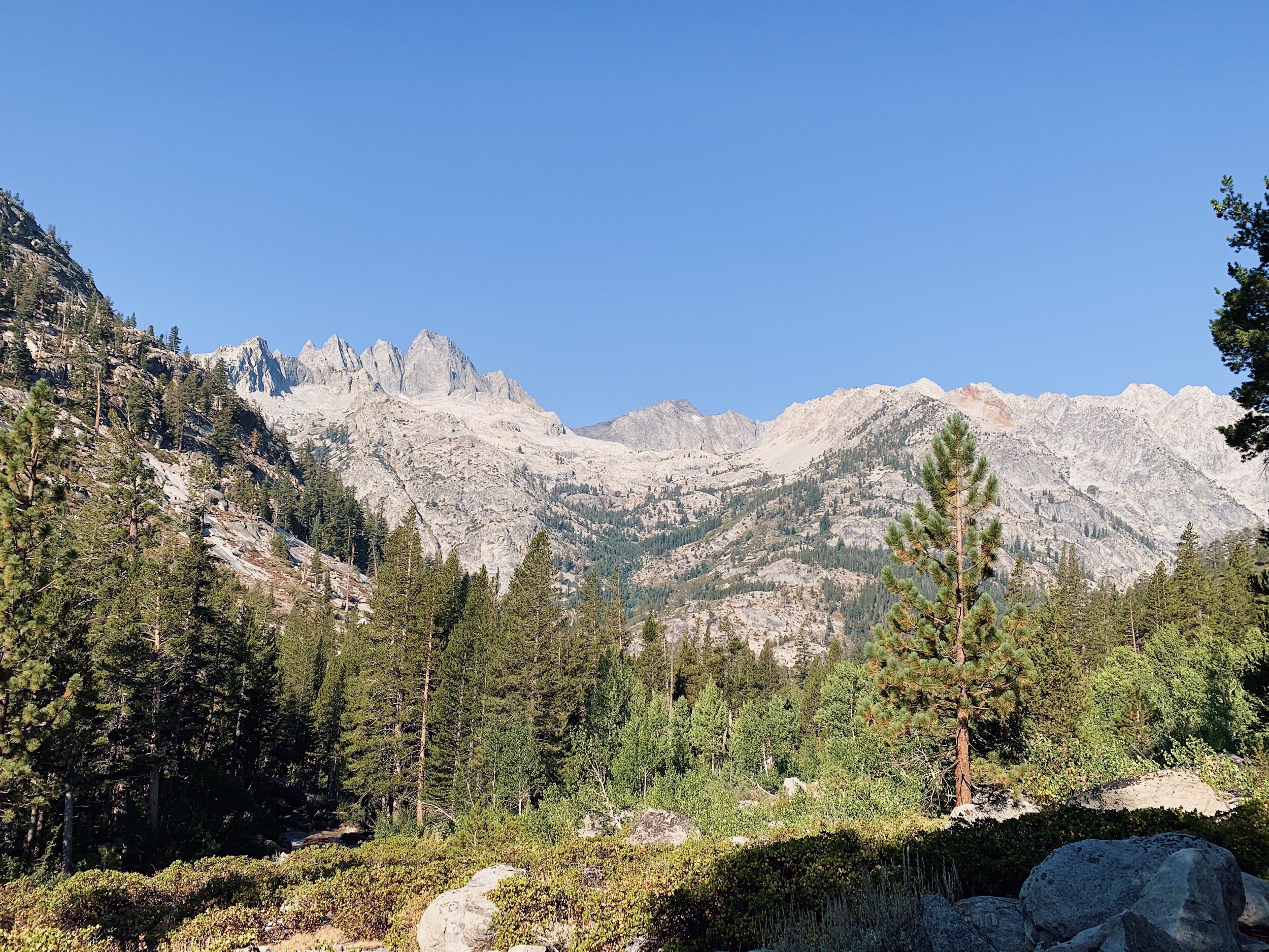
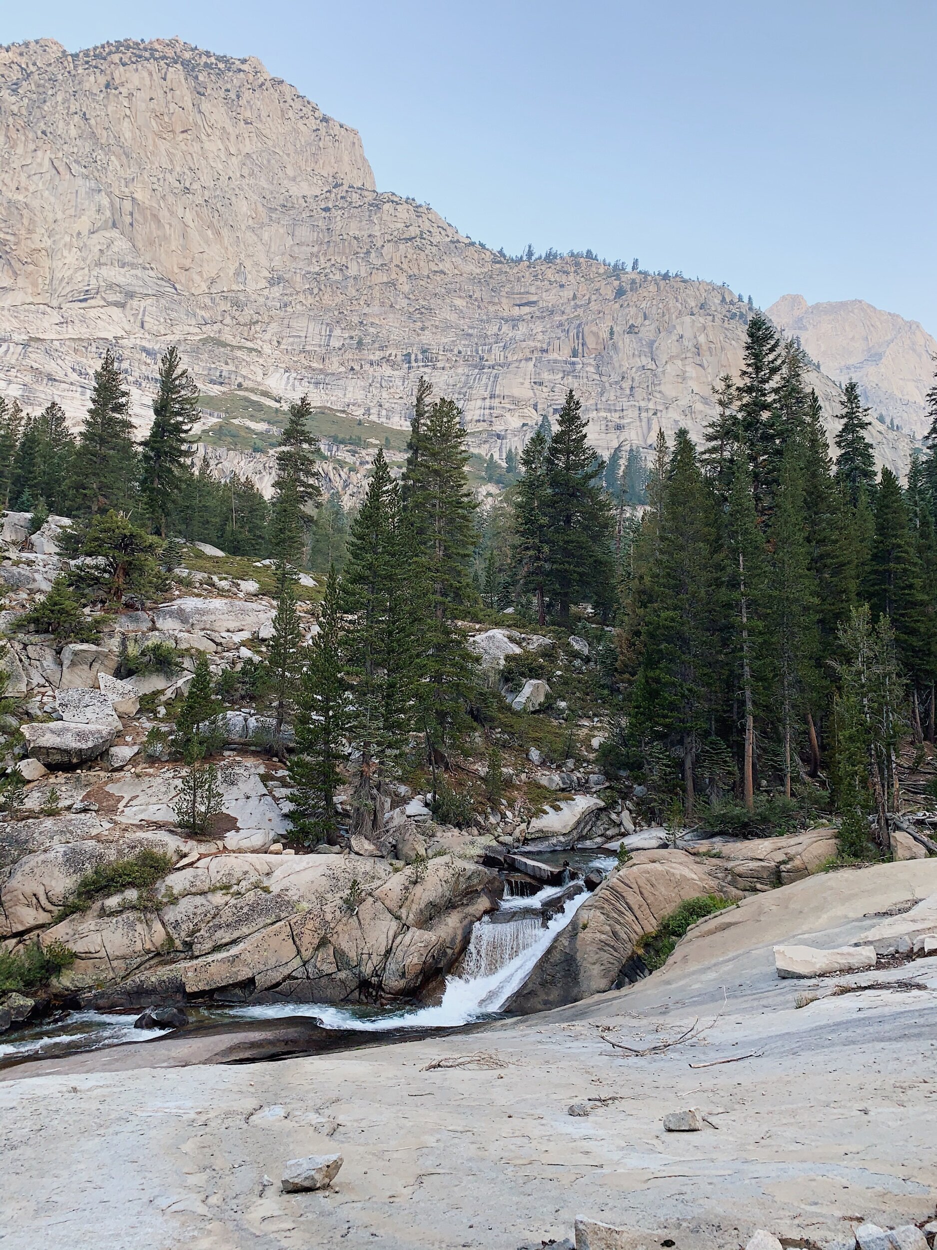
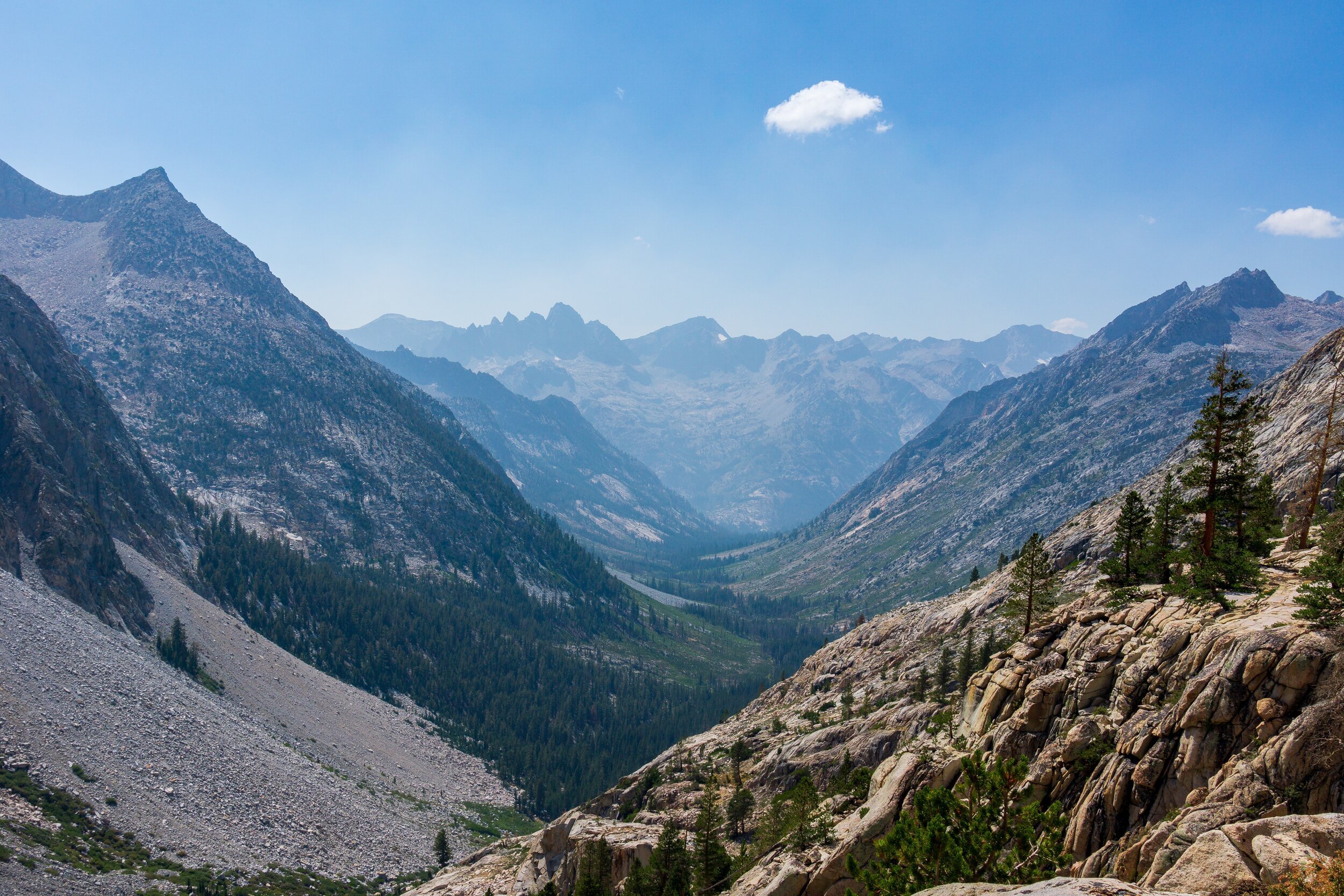
After lunch, we had a mellow hike along the South Fork of the San Joaquin River, which was super beautiful in the canyon. It started out hot, but then some dark clouds moved over the sun. They looked pretty ominous, so while we were happy to not have the sun beating down on us, we were also a little concerned. I do remember this part of the trail on the PCT - I was bored after doing all of the “big” passes and was listening to a podcast for most of the morning. Ha! Funny how things change. I was really impressed by the views this time around, but we were also headed into mountains instead of out of them.
It did get a little boring towards the end though, and I was getting super tired with the heavy pack. We decided to camp at a site right below the switchbacks up to Evolution Creek, so we’ll tackle those first thing in the morning. Lauren is also camped at this site as well! We all had dinner together and then retired to the tents as the wind picked up and it looked like it might rain. It still hasn’t rained yet, and hopefully it won’t overnight! The forecast does call for afternoon thunderstorms the next two days, though. Which sucks for where we will be - in pretty exposed territory - so we’ll see how it goes!
JMT DAY 15 - 8.23.20
South Fork San Joaquin River to Evolution Lake (mi 123.1) // 7.8 miles +2,500 -150 ft
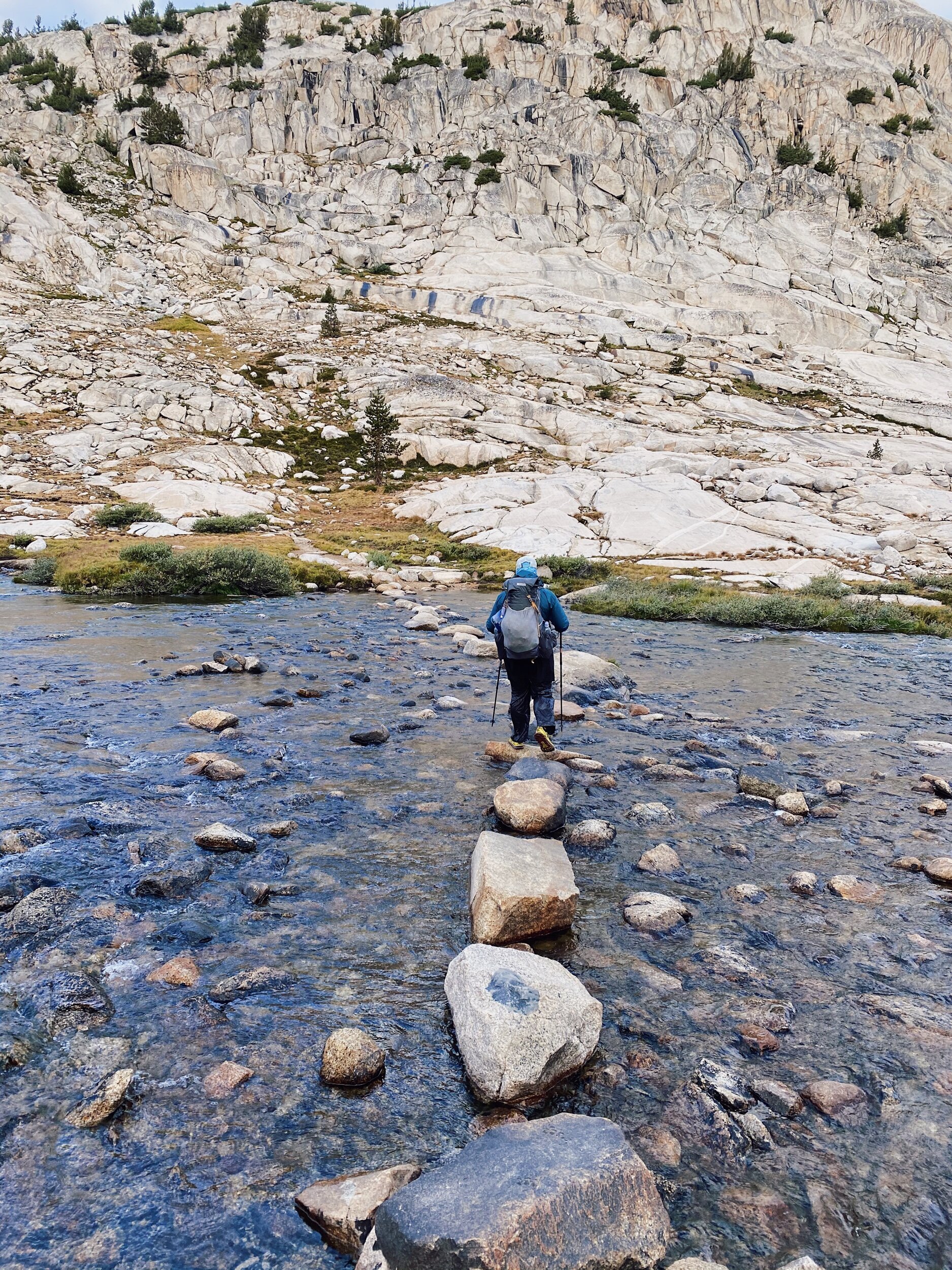
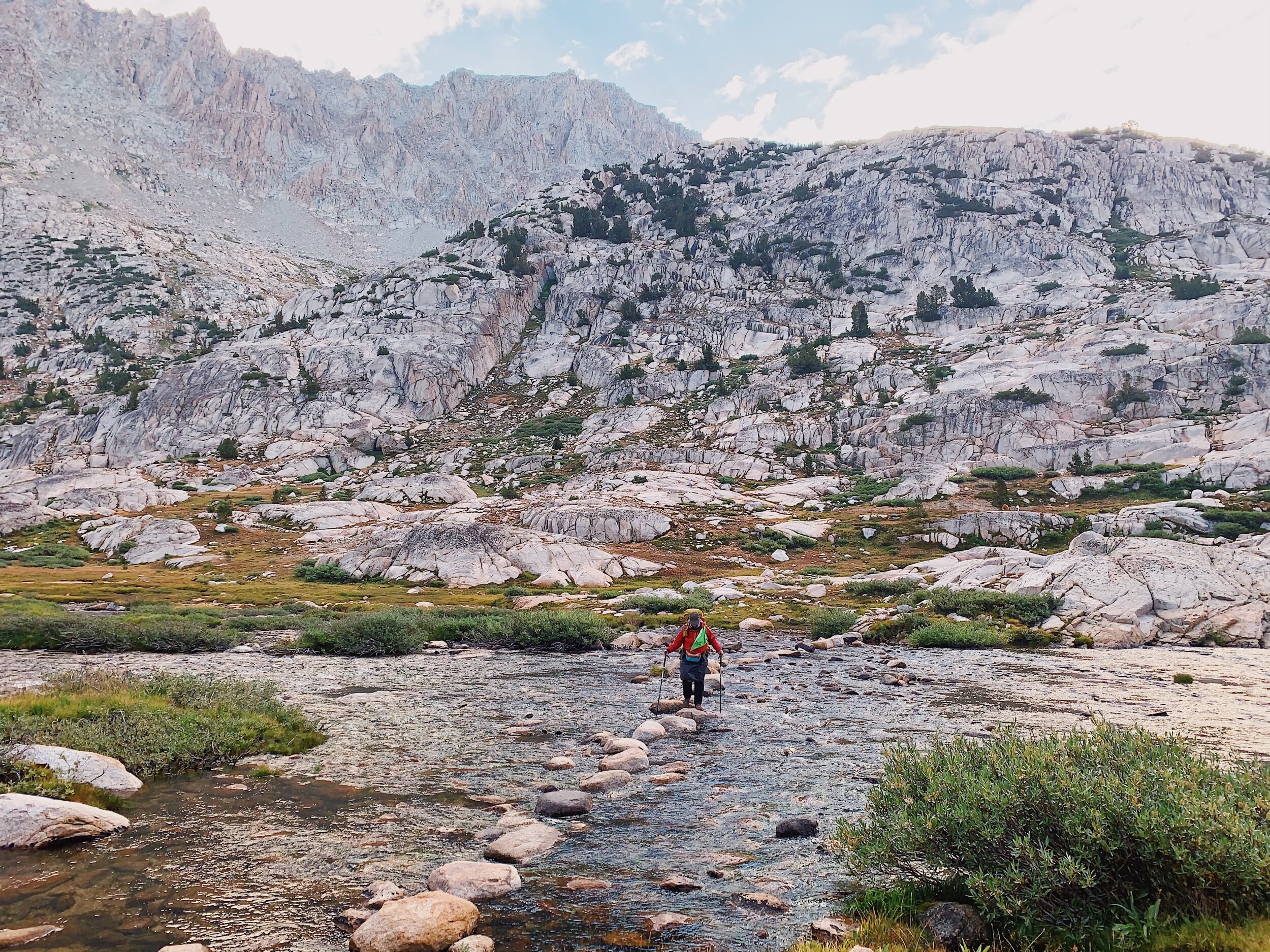
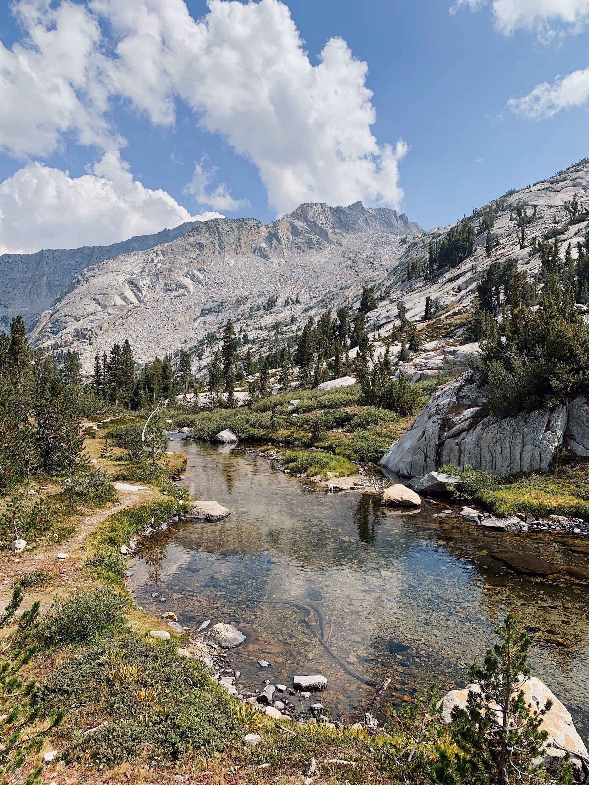
We got started hiking at 6:30 this morning, and said goodbye to Lauren as we left, hoping we’ll see her at Evolution Lake tonight. We immediately started climbing the rocky switchbacks up to Evolution Creek. They weren’t too bad, honestly, but my legs were definitely still waking up. It was nice watching the sun rise on the valley walls as we ascended. I decided a fun little job today would be to count the number of northbounders that we pass. Since this is a popular area, I figured we’d see a lot of people. We got to Evolution Creek at 8:00 am and crossed at the normal crossing. We had to get wet, but it was a very mild creek. In 2018, we actually took the meadow alternate route since it was early in the season.

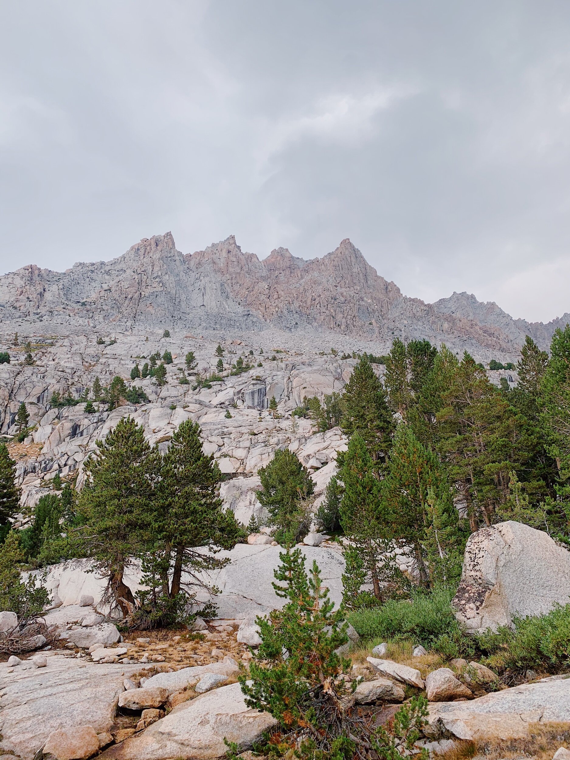
After the crossing, we gradually ascended the rest of the day. We passed through multiple beautiful meadows: Evolution, McClure, and Colby. They were all so gorgeous. We also got to chat with the ranger at his station in McClure Meadow! He was very nice and gave us a weather report: smoke from the Bay Area fires and rain/ thunderstorms in the afternoon for the next few days. Kind of a bummer. The smoke was already settling into the meadow, unfortunately. After a few more miles, we ate lunch near Evolution Creek. By lunch time, I counted 31 northbound hikers! Crazy! This was the busiest part of the trail for us so far. After lunch and resting, we had another steep ascent up into the basin. We were actually making good time! I was proud of Mom. I think her hiker legs are starting to kick in, and we still have heavy packs from MTR!

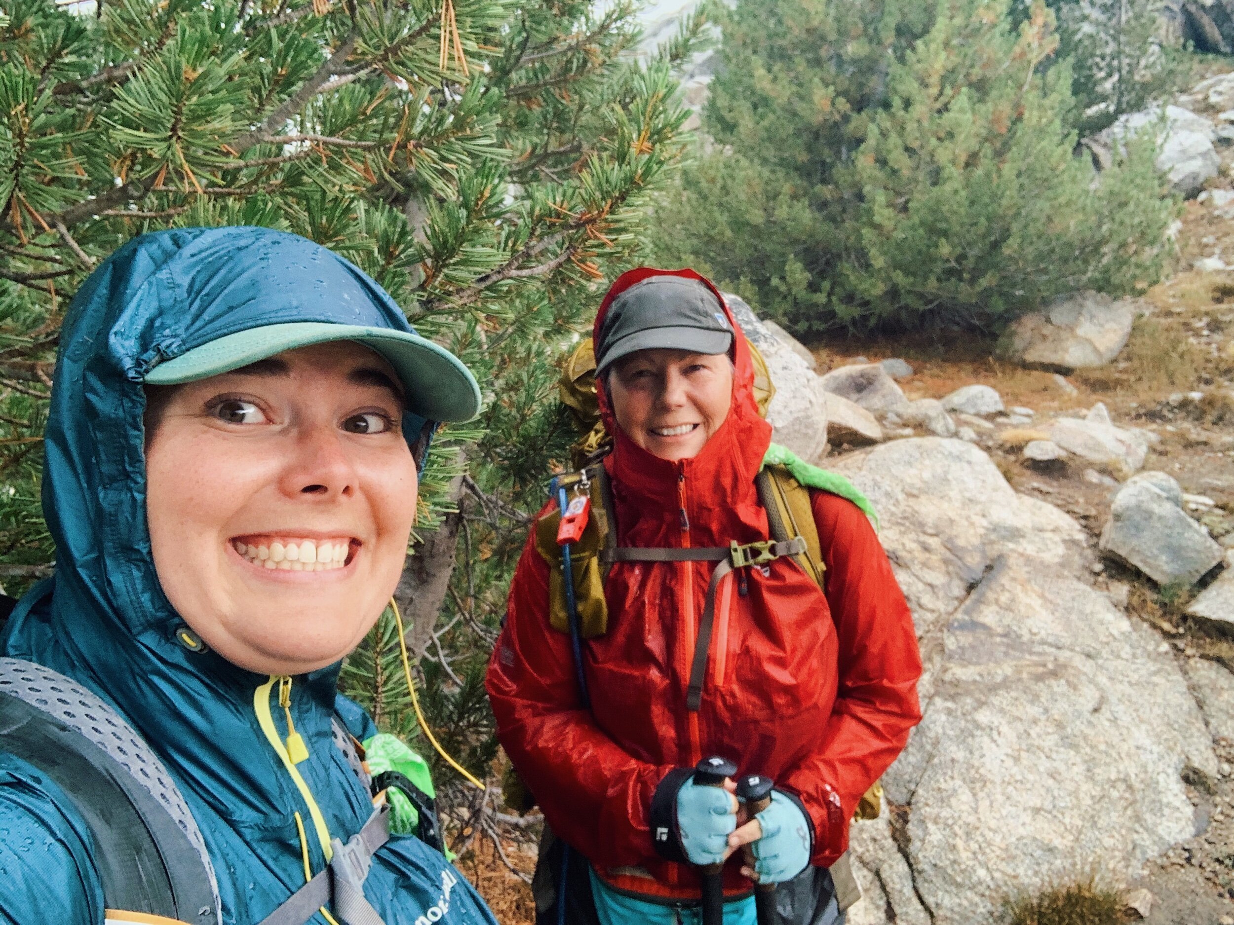
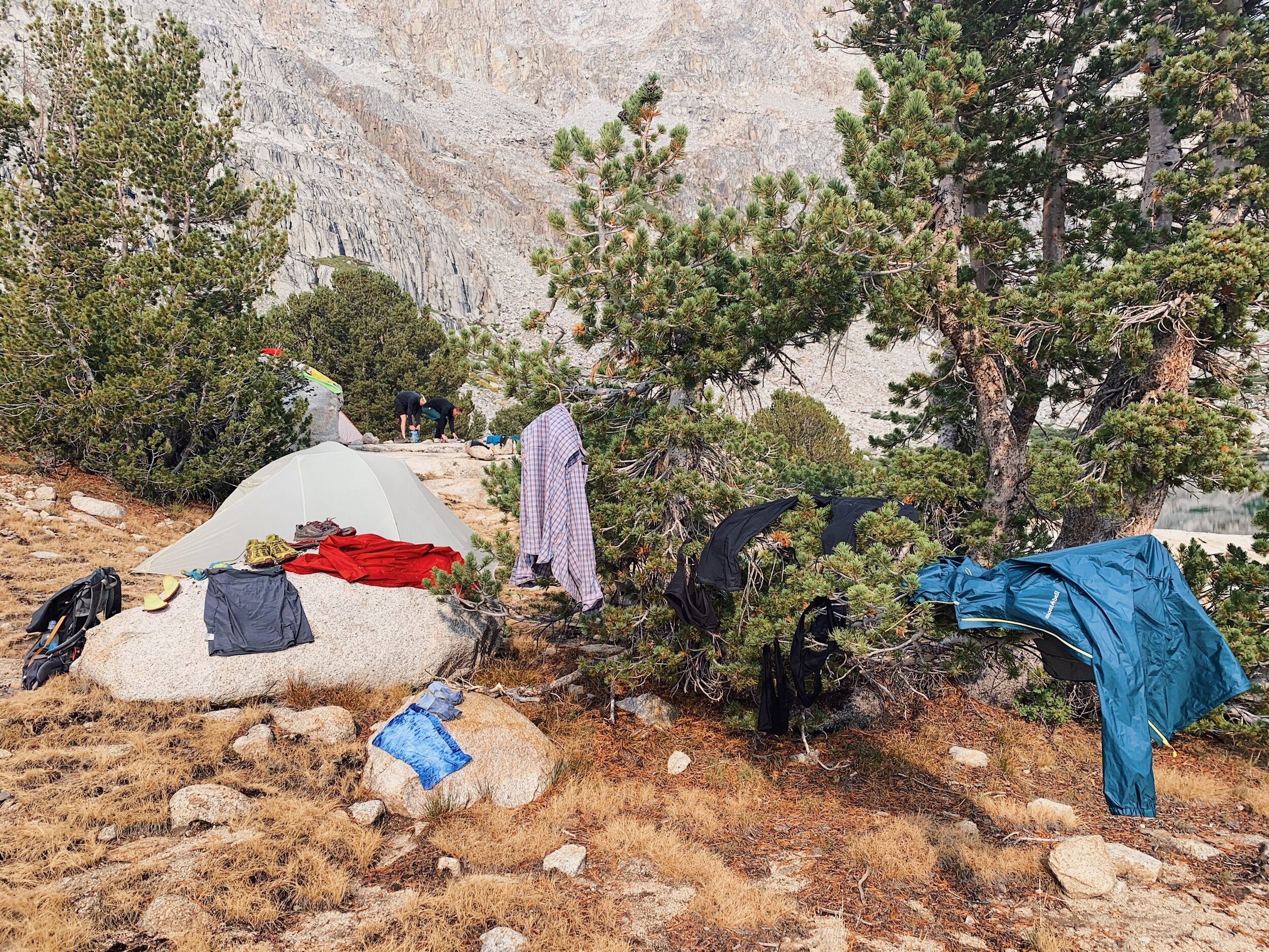
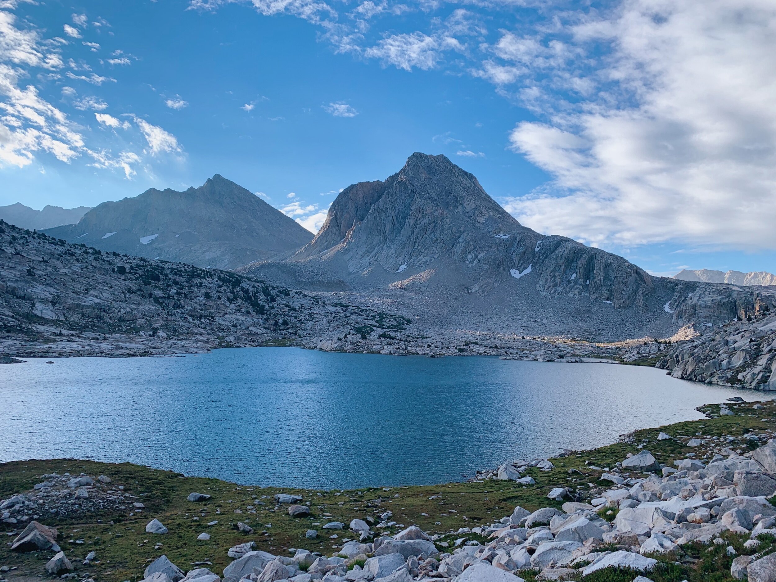
Of course, right when we broke above treeline, the rain started coming down. And then the thunder. And then the lightning. Ugh. We took shelter behind/under a tree that kept us pretty dry. Then we decided to make a run for it since we were at Evolution Lake, where we wanted to camp anyways. We scrambled around the area above the lake for sooo long, getting drenched, before we found an acceptable spot to set up our tent. And it was still a little sloped. Oh well, at least it had better drainage than the last time we were setting up in a storm!

We quickly got the tent up without getting it too wet, and hopped in as the rain got worse. We changed out of wet clothes, threw our puffies on, and blew up our sleeping pads to insulate us from the cold ground. Then we snuggled in our quilts. By the time all this ended, the rain also stopped and the sun came out! We stayed in the tent a little longer, relishing in the hot box it had become.

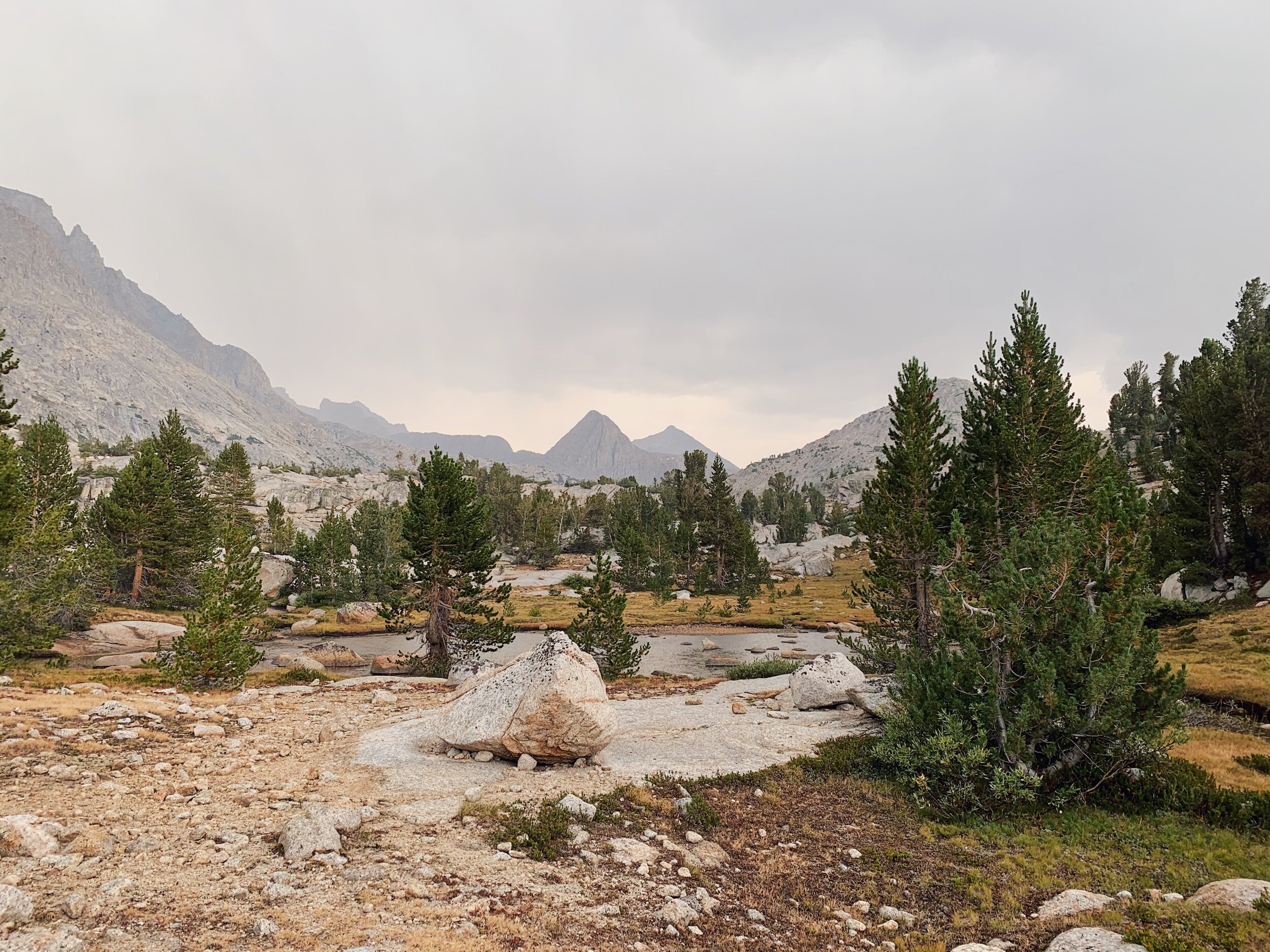
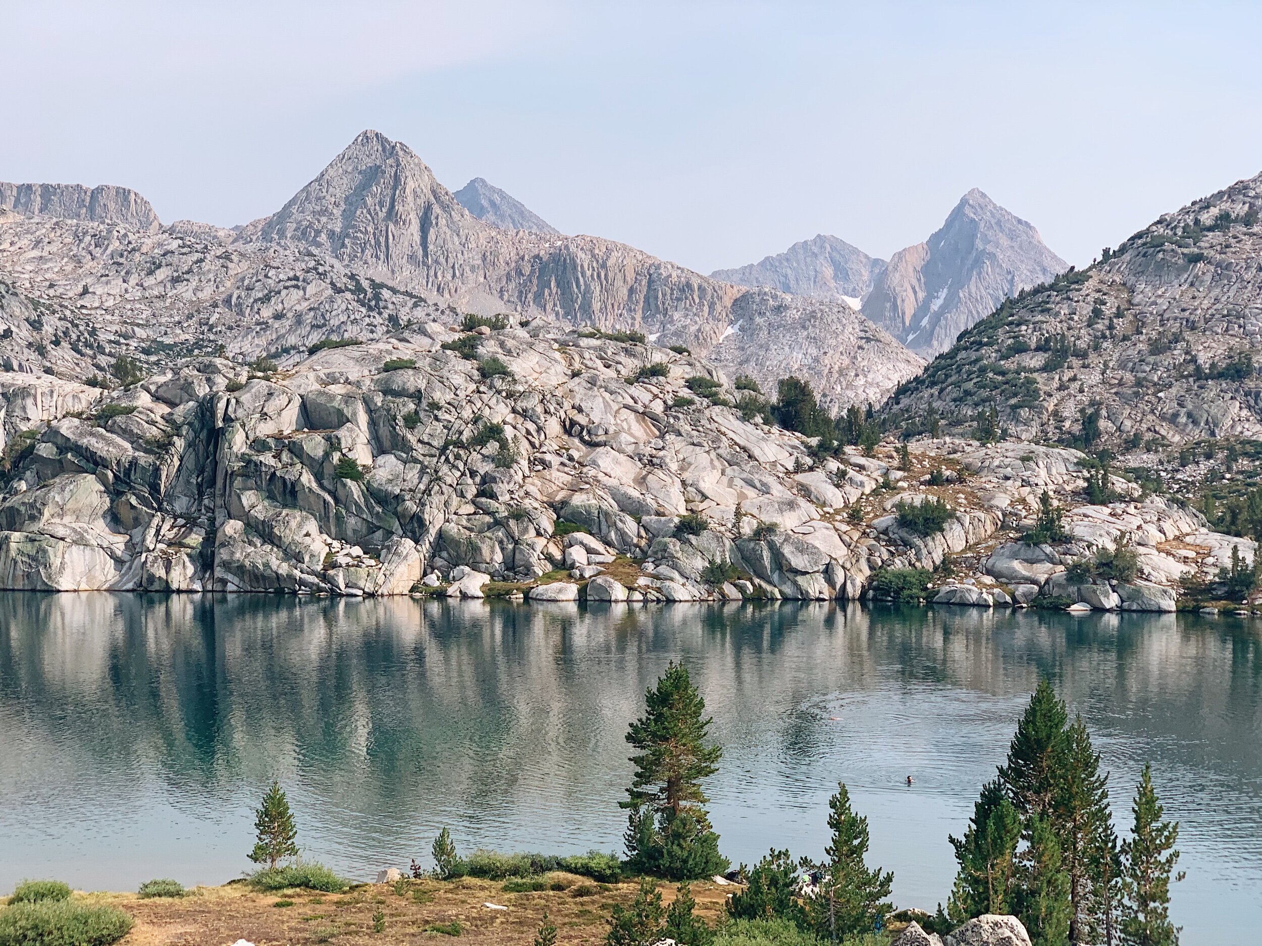
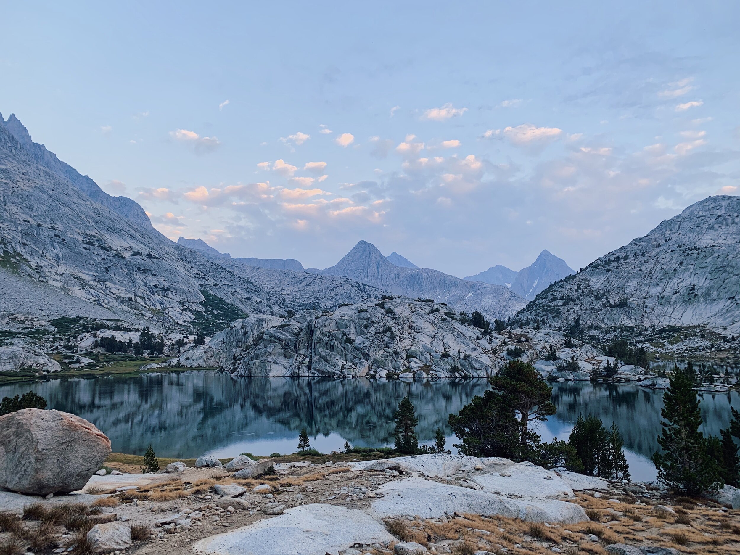
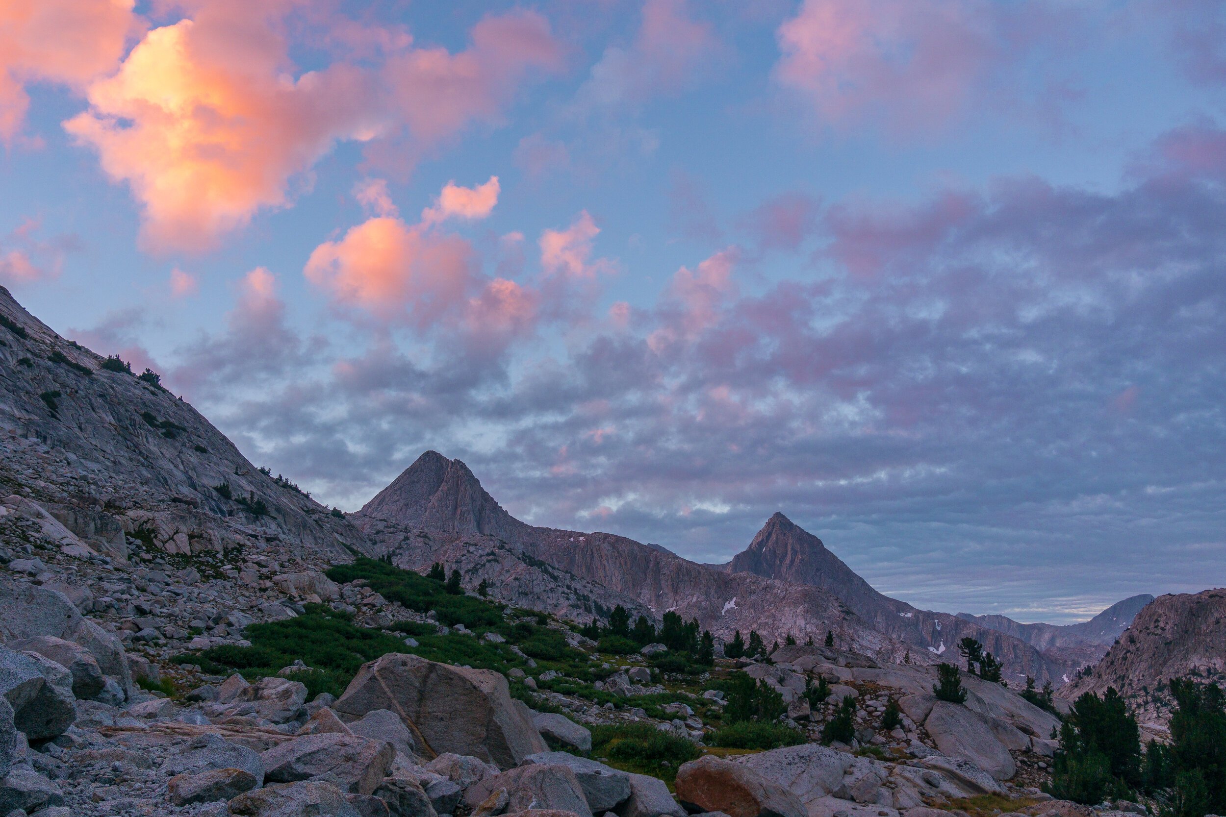
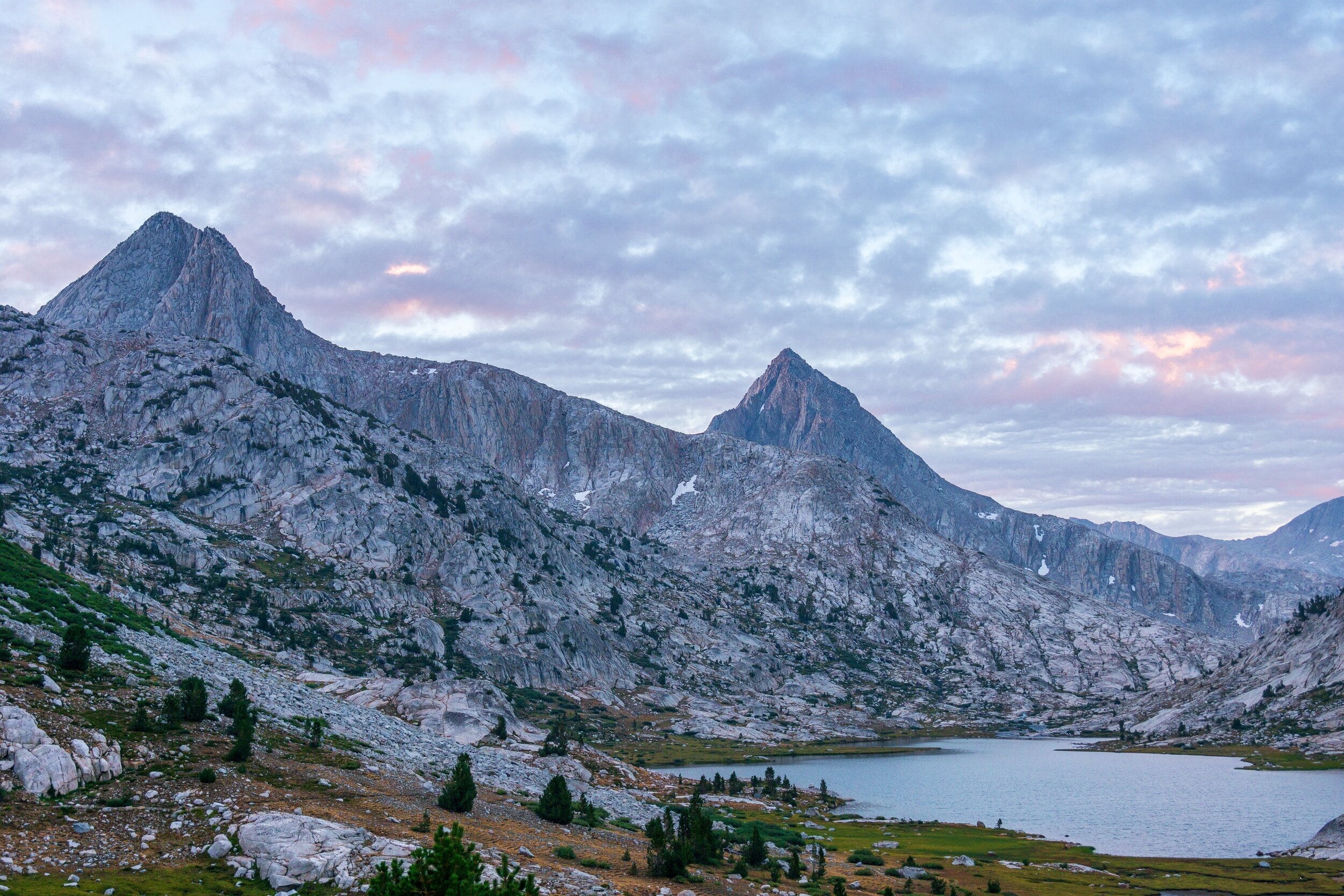
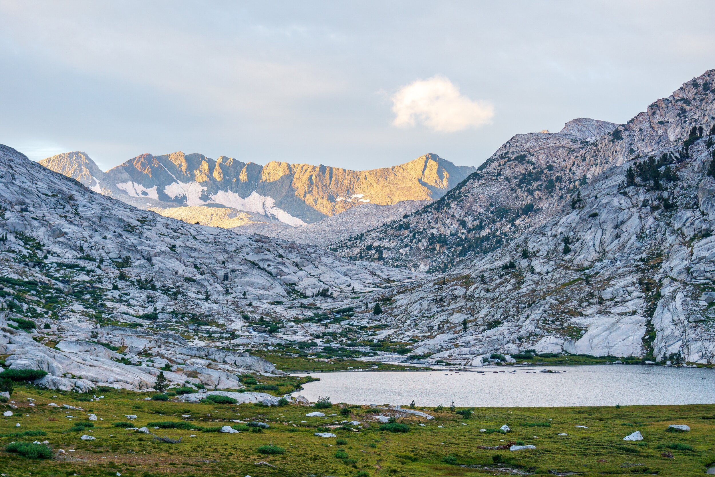
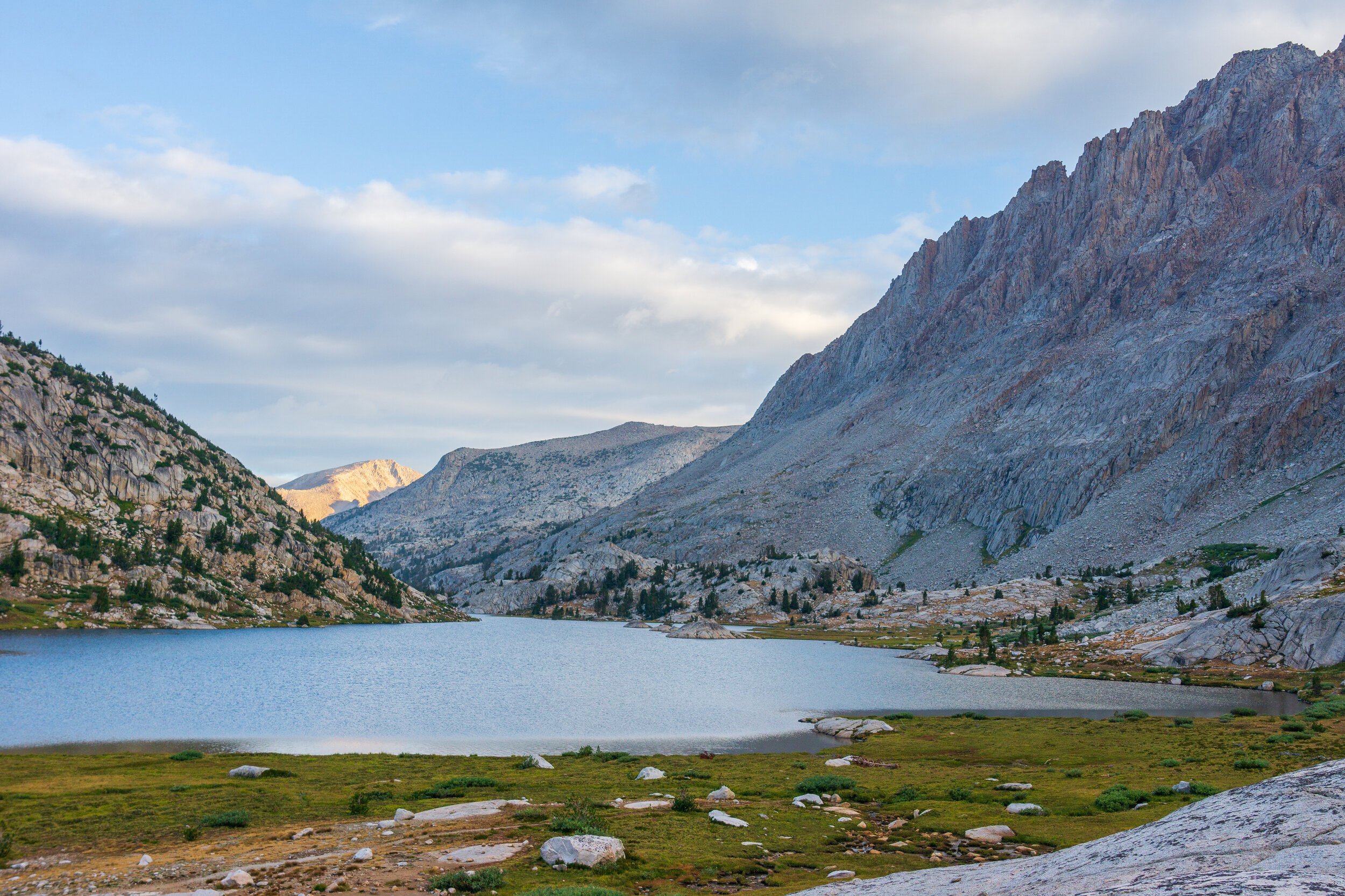
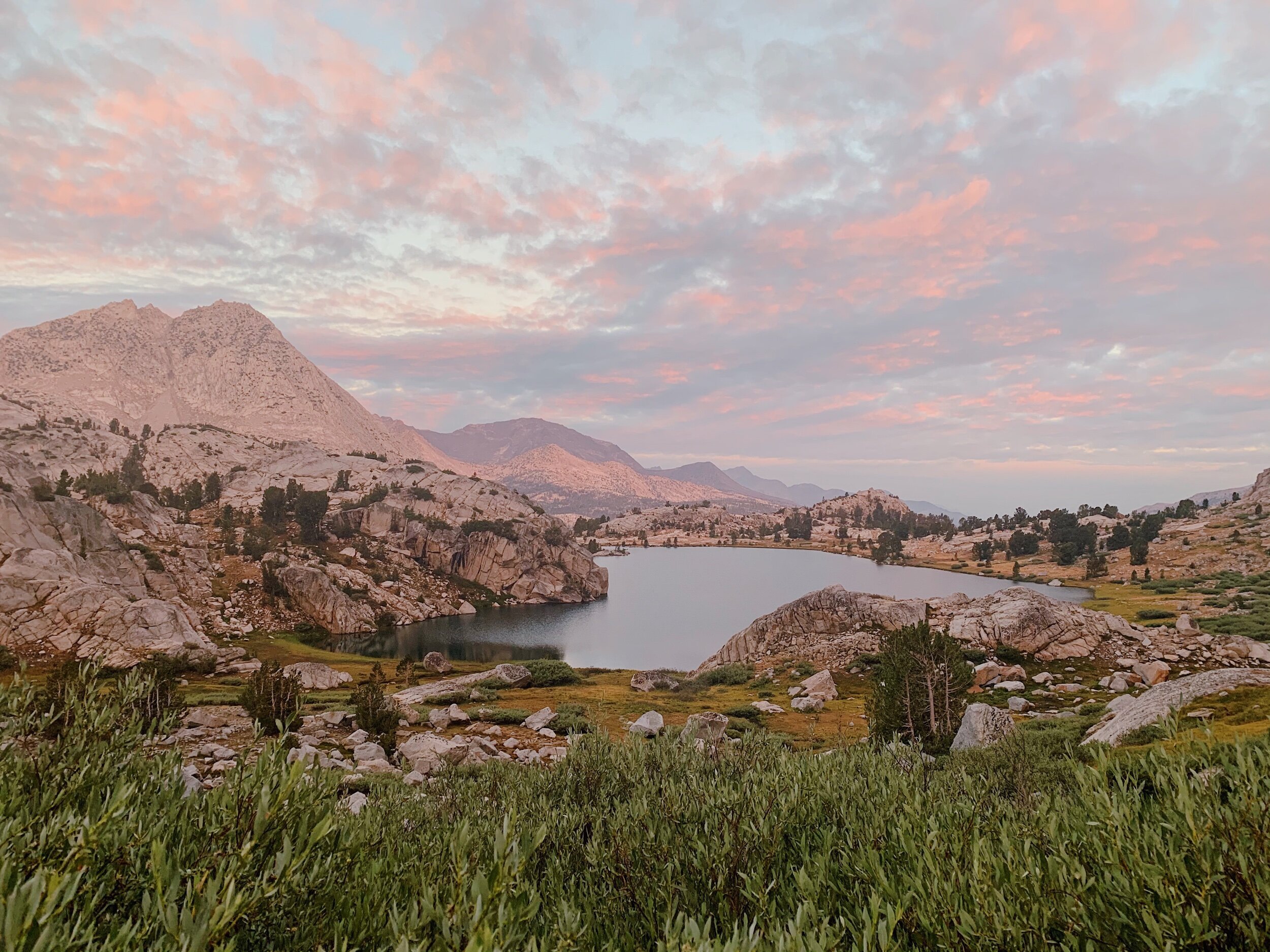
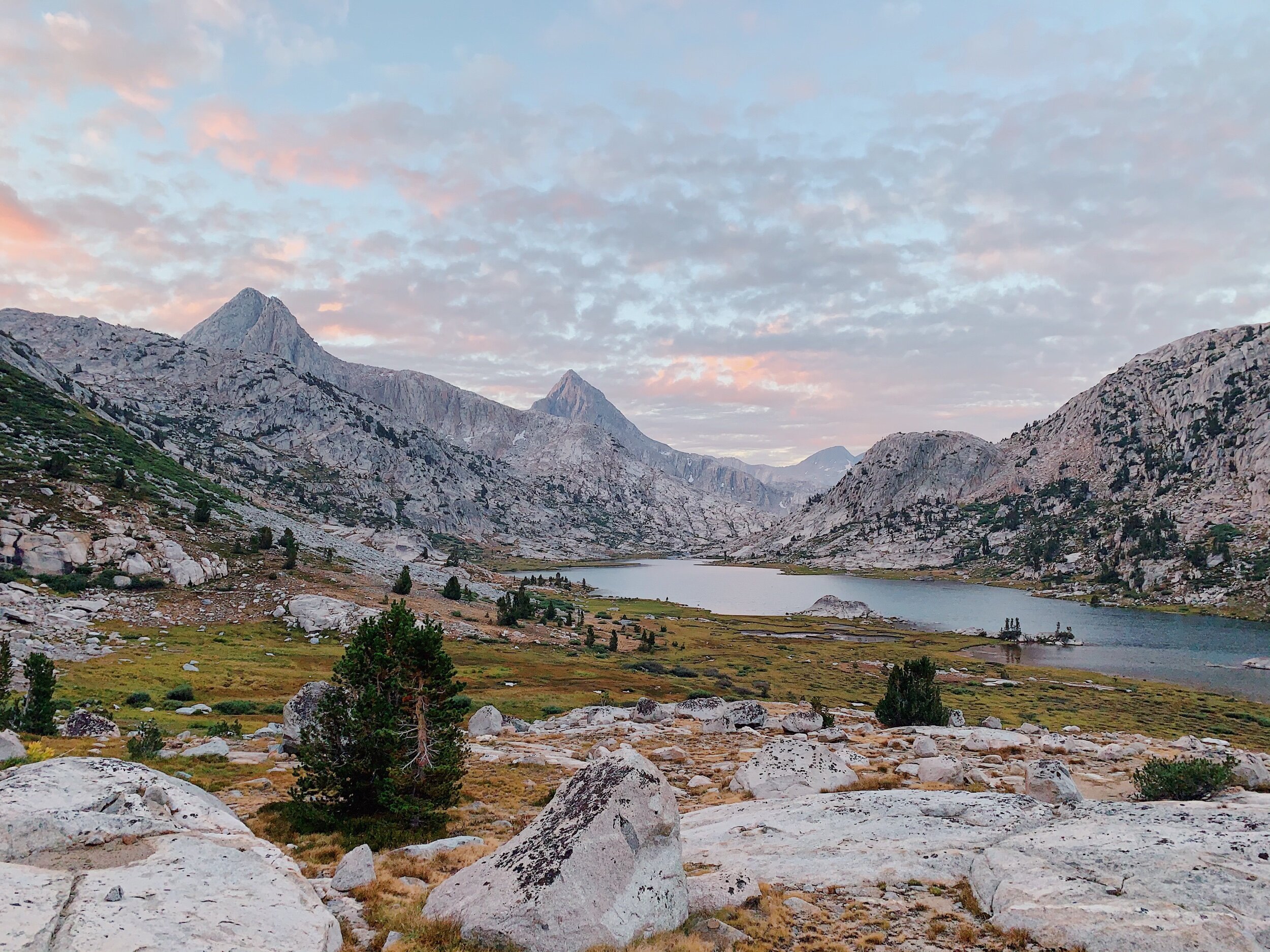
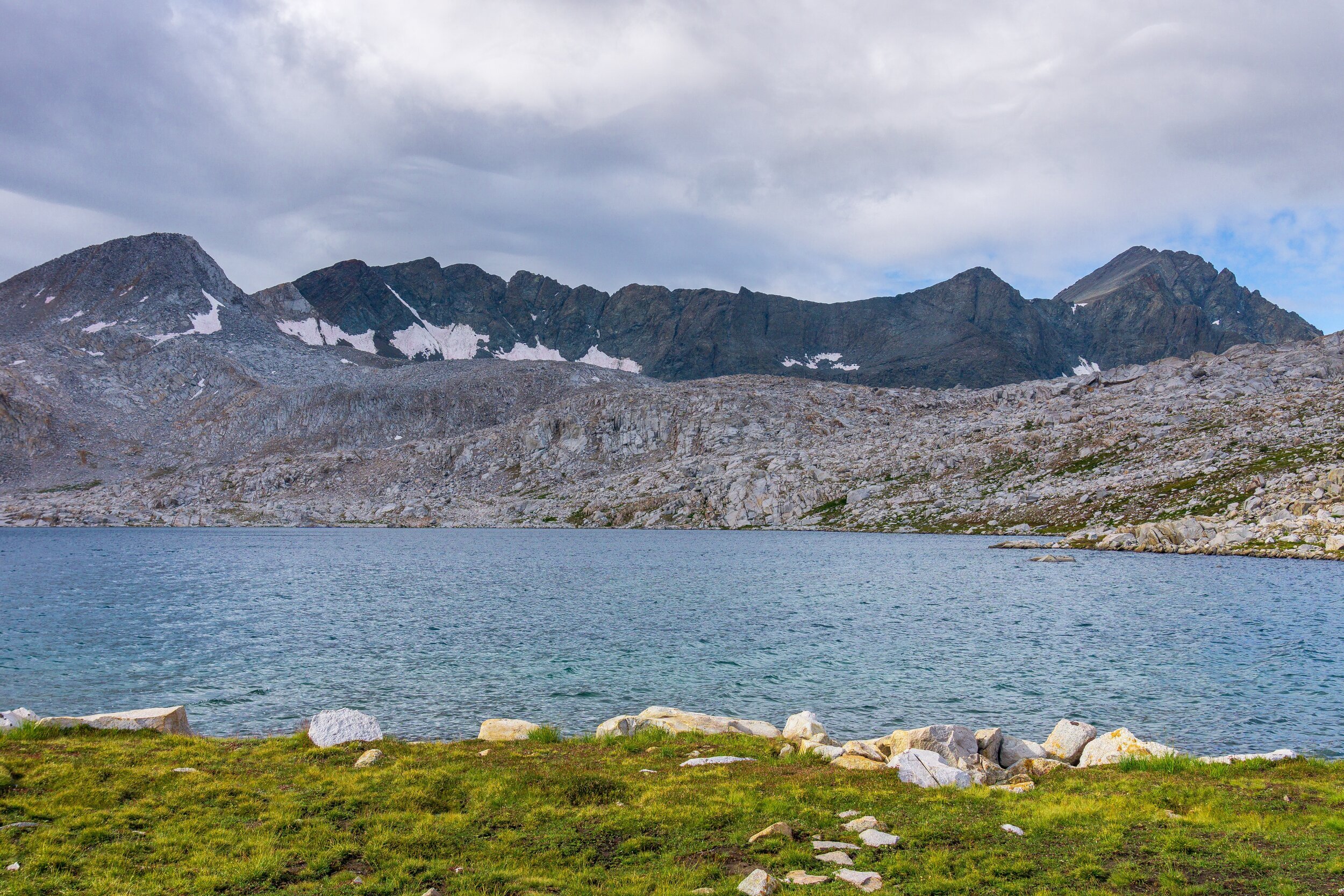
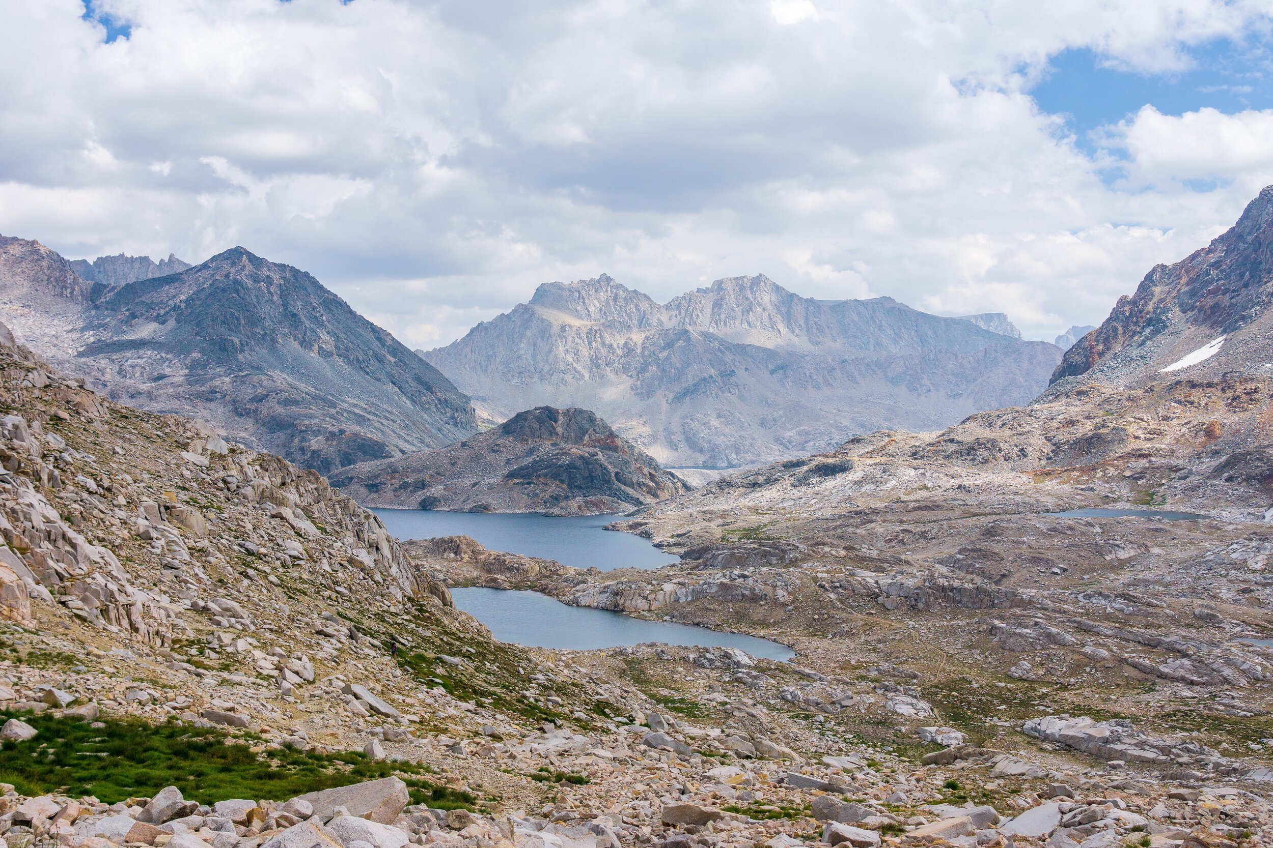
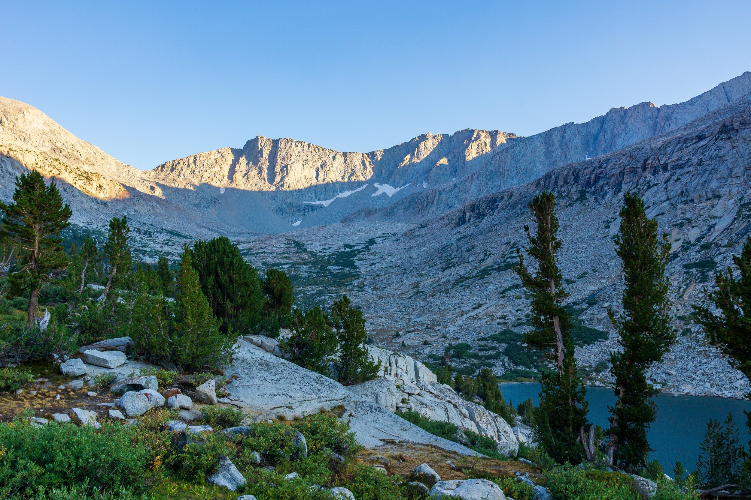
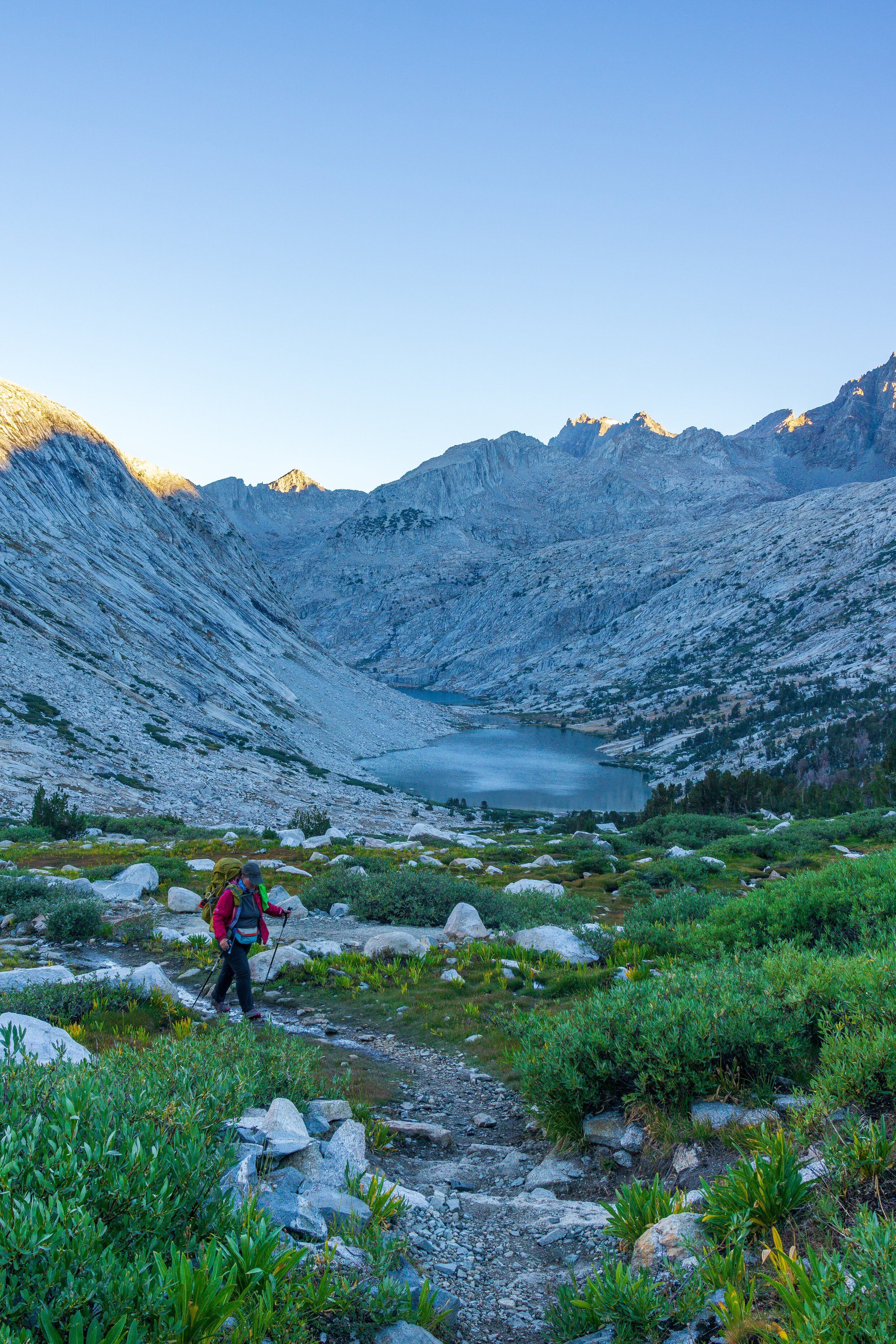
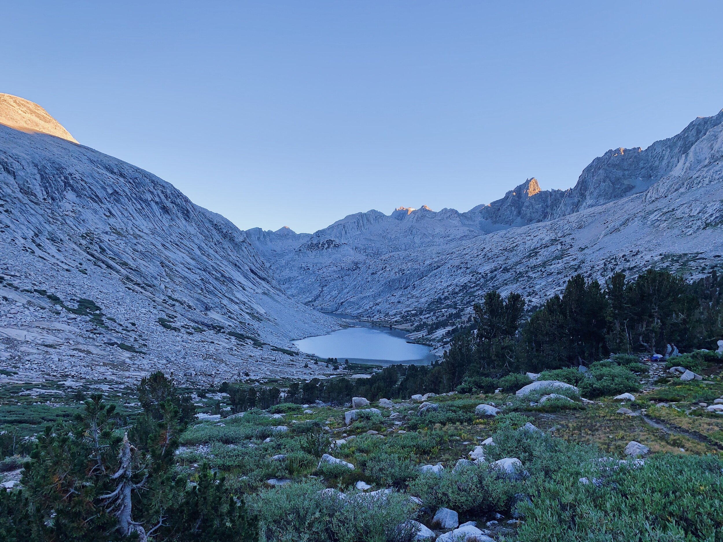
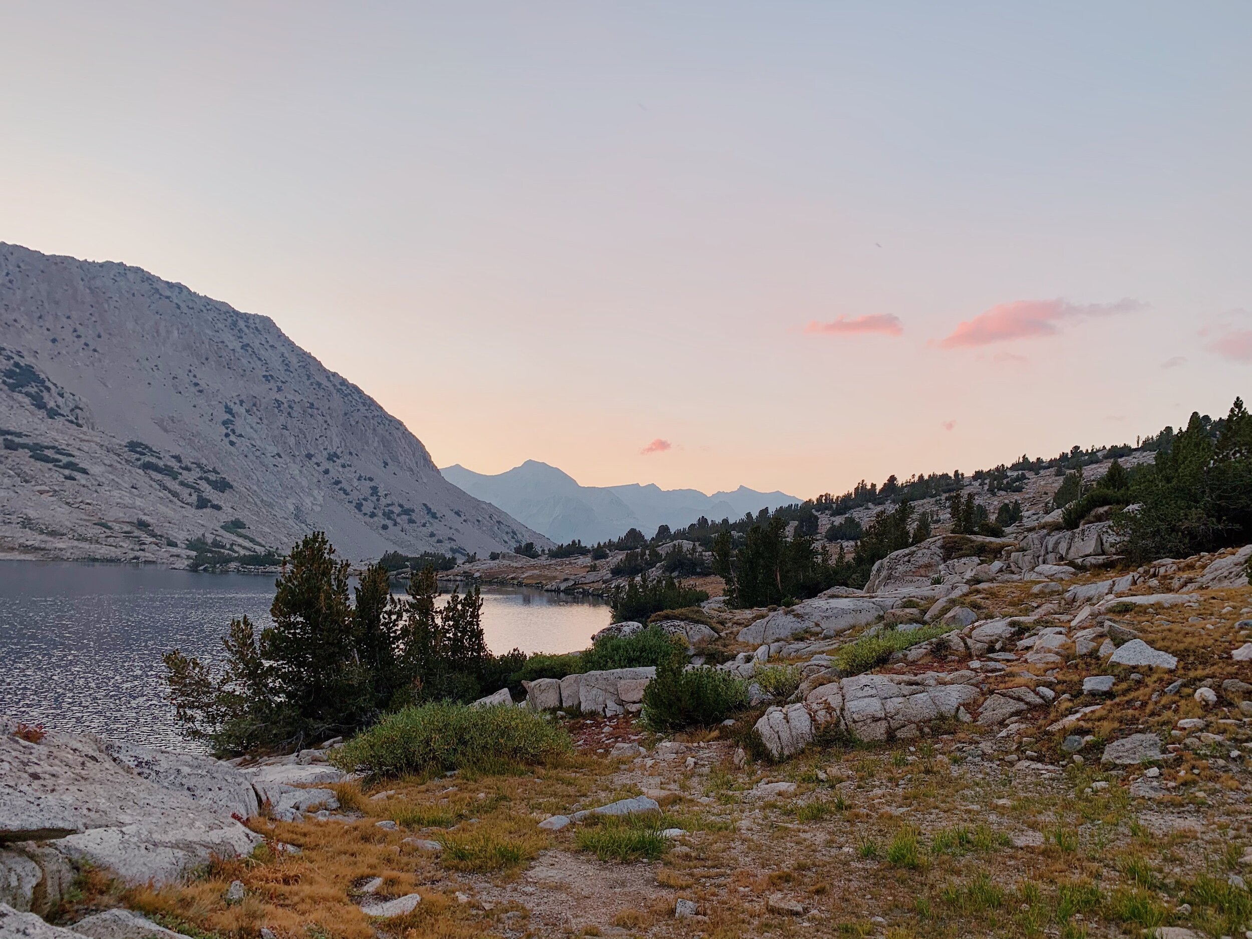
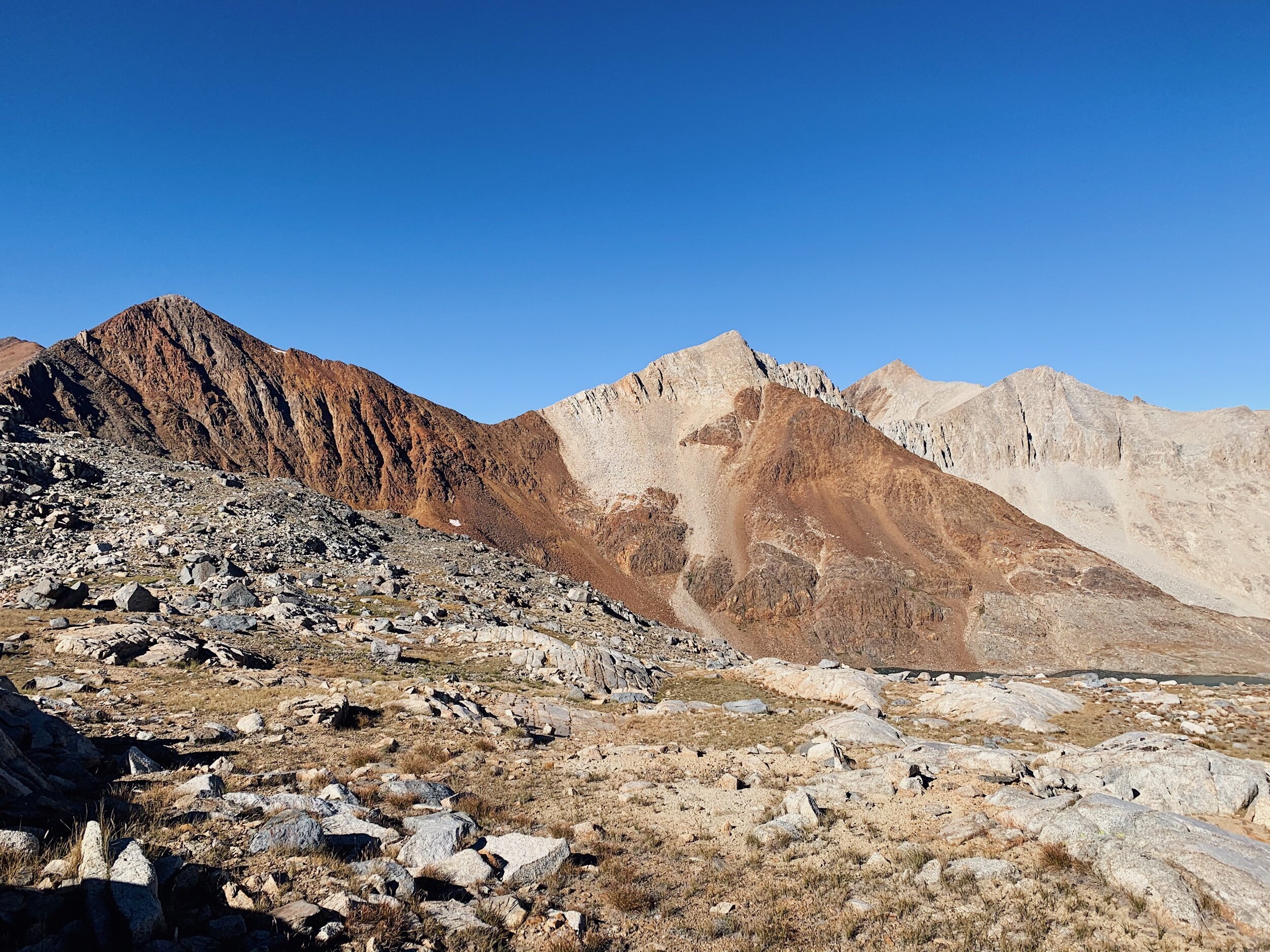
After I got too hot, I emerged from the tent and we had beautiful views of the mountains surrounding Evolution Basin. After taking some pictures, we laid out all of our clothes to dry, rearranged our sleeping pads & bags, went down to the water to filter, ate some snacks, made dinner, and then hung out until the sun started to set. Smoke had reentered the scene, sadly, and there were lots of clouds behind us where the sun was setting, so we ended up being snubbed for sunset. But it was still gorgeous to just look at the lake and the mountains. I can’t wait for tomorrow! It’s going to be so beautiful.


JMT DAY 16 - 8.24.20
Evolution Lake to Middle Fork of the Kings River/ LeConte Ranger Station (mi 137) // 13.9 miles +1,400 -3,500 ft

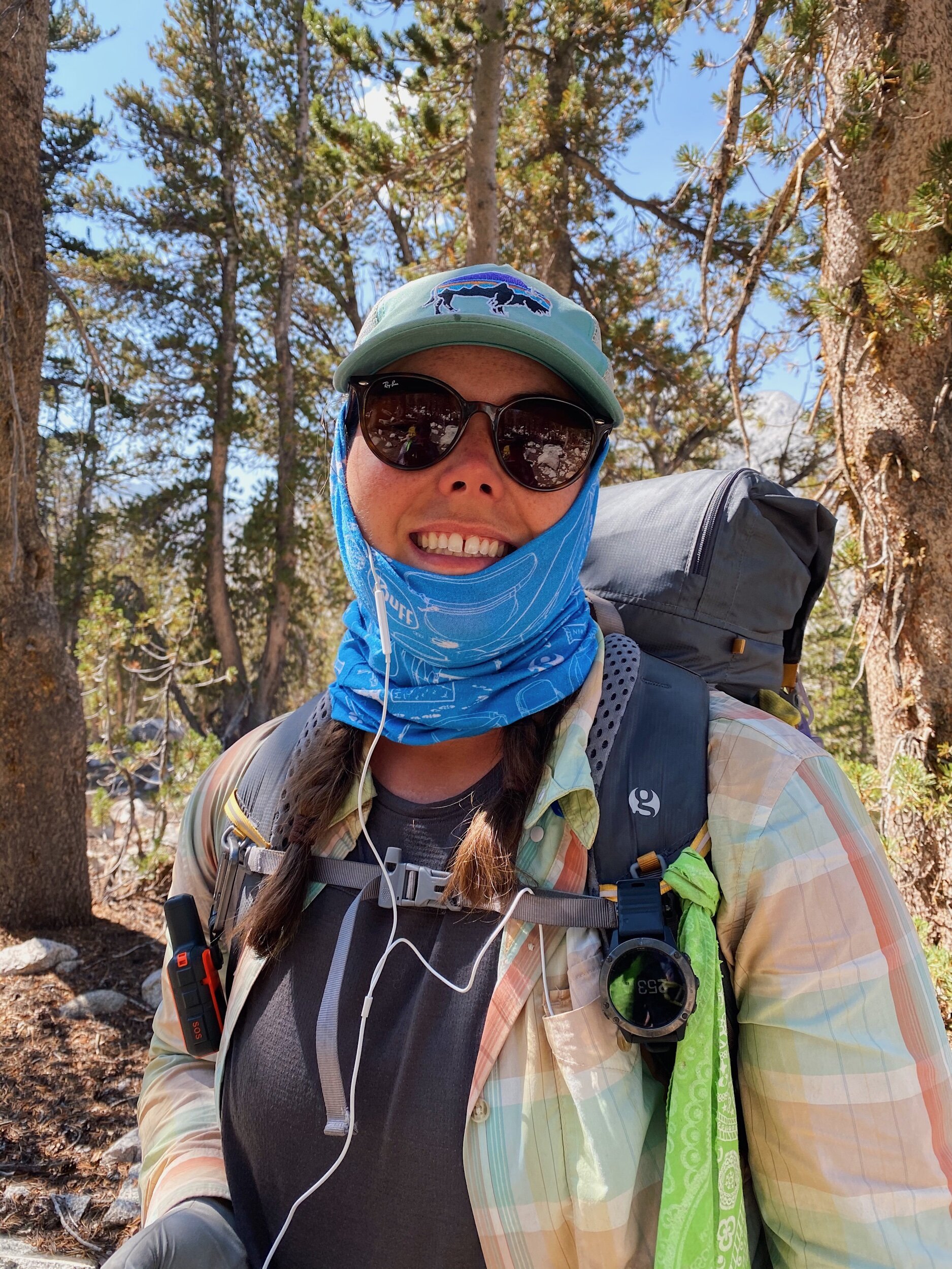
Wow, today was our longest day yet! It started off interesting... at 2:00 am, I woke up to blow my nose but also heard sprinkling, and then raining on our tent. I woke Mom up so we could close the venting on the rain fly to ensure no water got to us. I went back to sleep only to wake up at 5:00 to get started for the day. It was so windy outside, we needed to get everything ready inside the tent before exiting. Of course, it also started sprinkling again, so we waited it out in the tent. It passed quickly, so we jumped out and finished packing up, and managed to start hiking at 6:00 am. Because of the uncertain weather and going over a pass, we really needed to get going early. It was so cold though, even while hiking uphill. I was wearing my wind pants, puffy, fleece gloves, and rain shell over my hiking clothes, and wore my buff as a balaclava for half of the day. It never warmed up until much later.
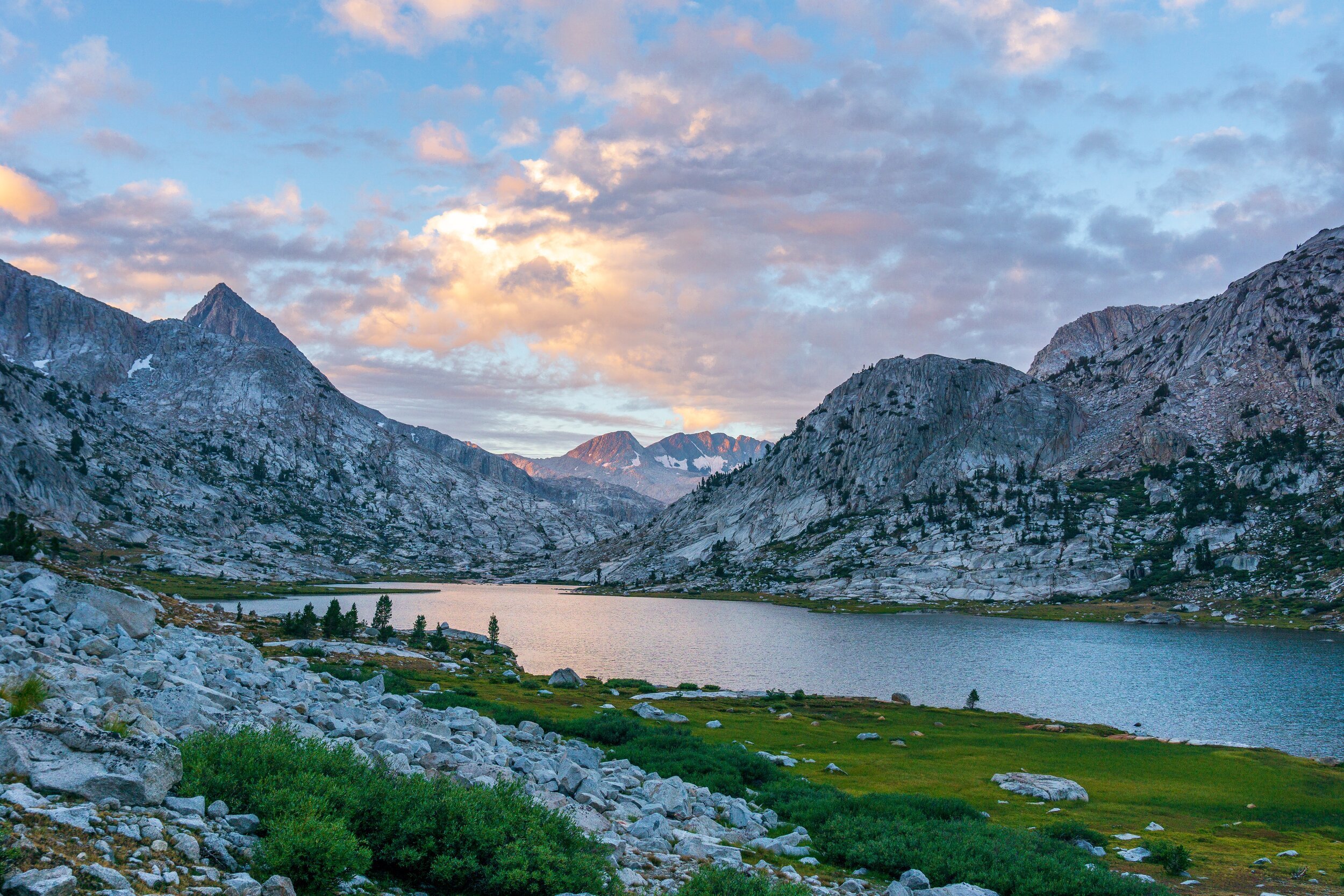
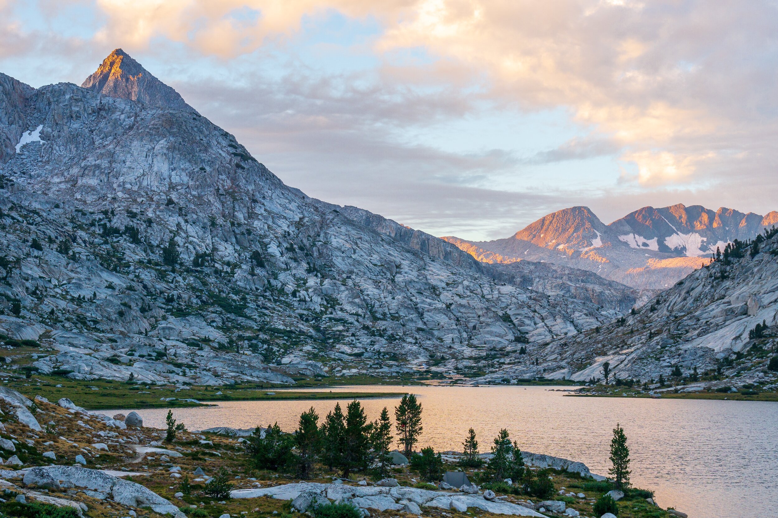
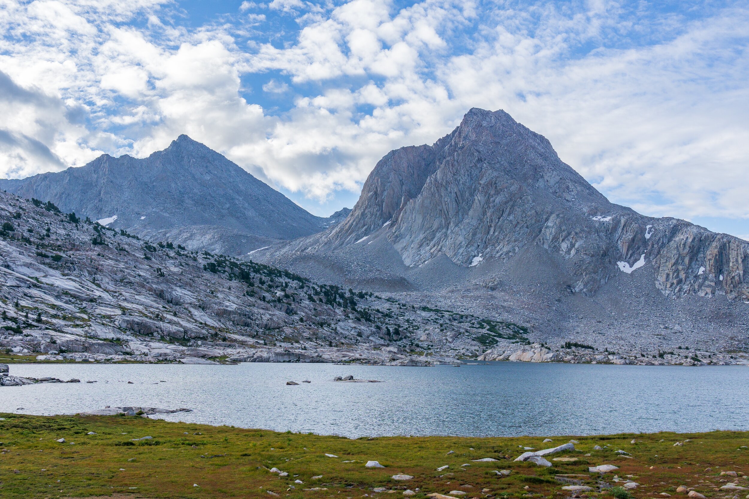
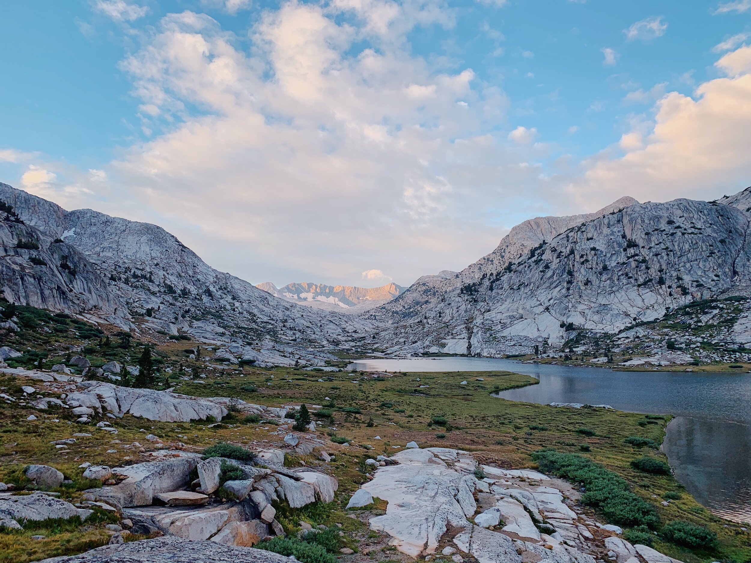
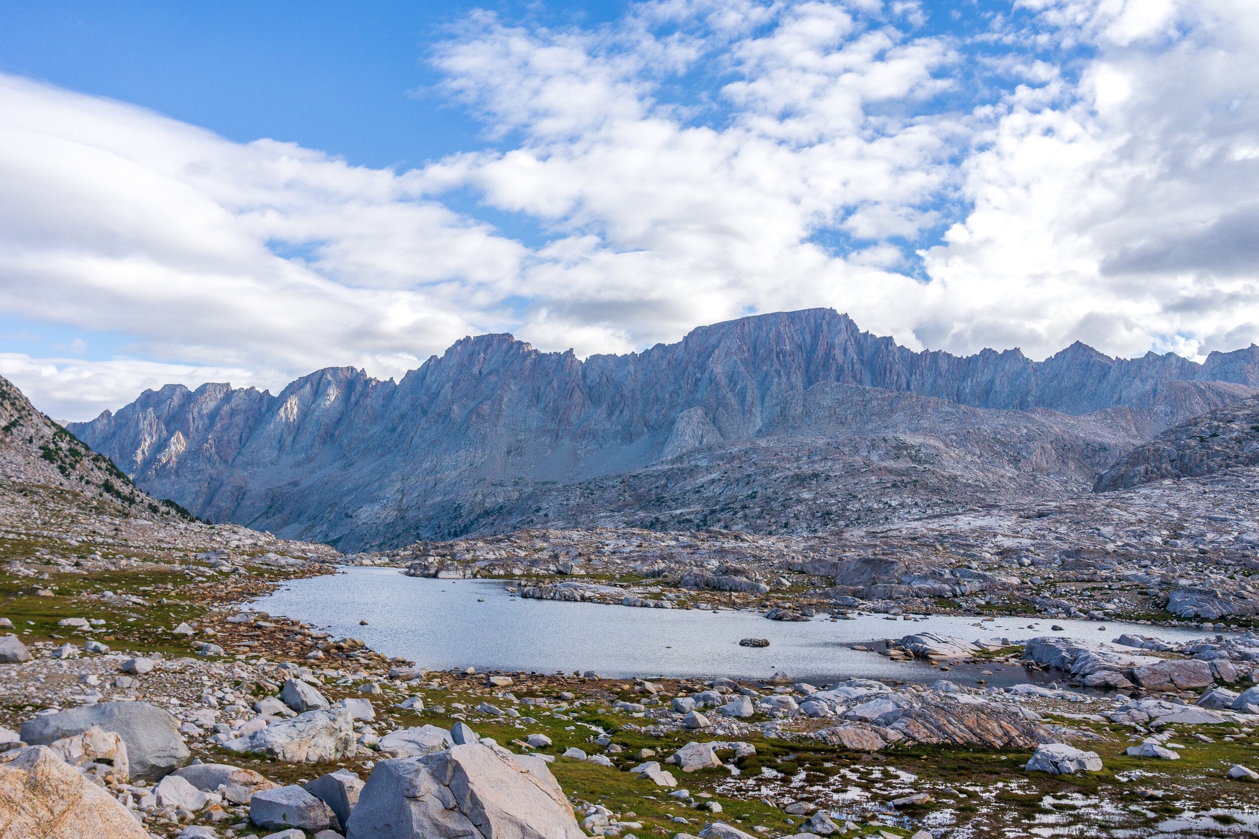
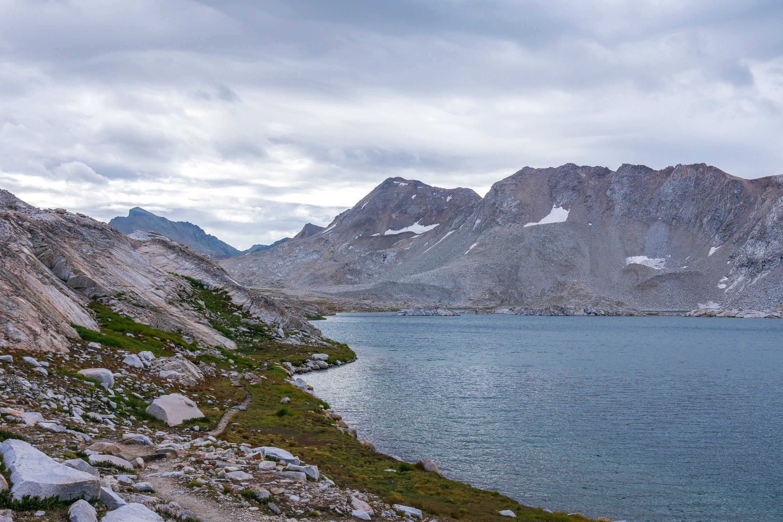
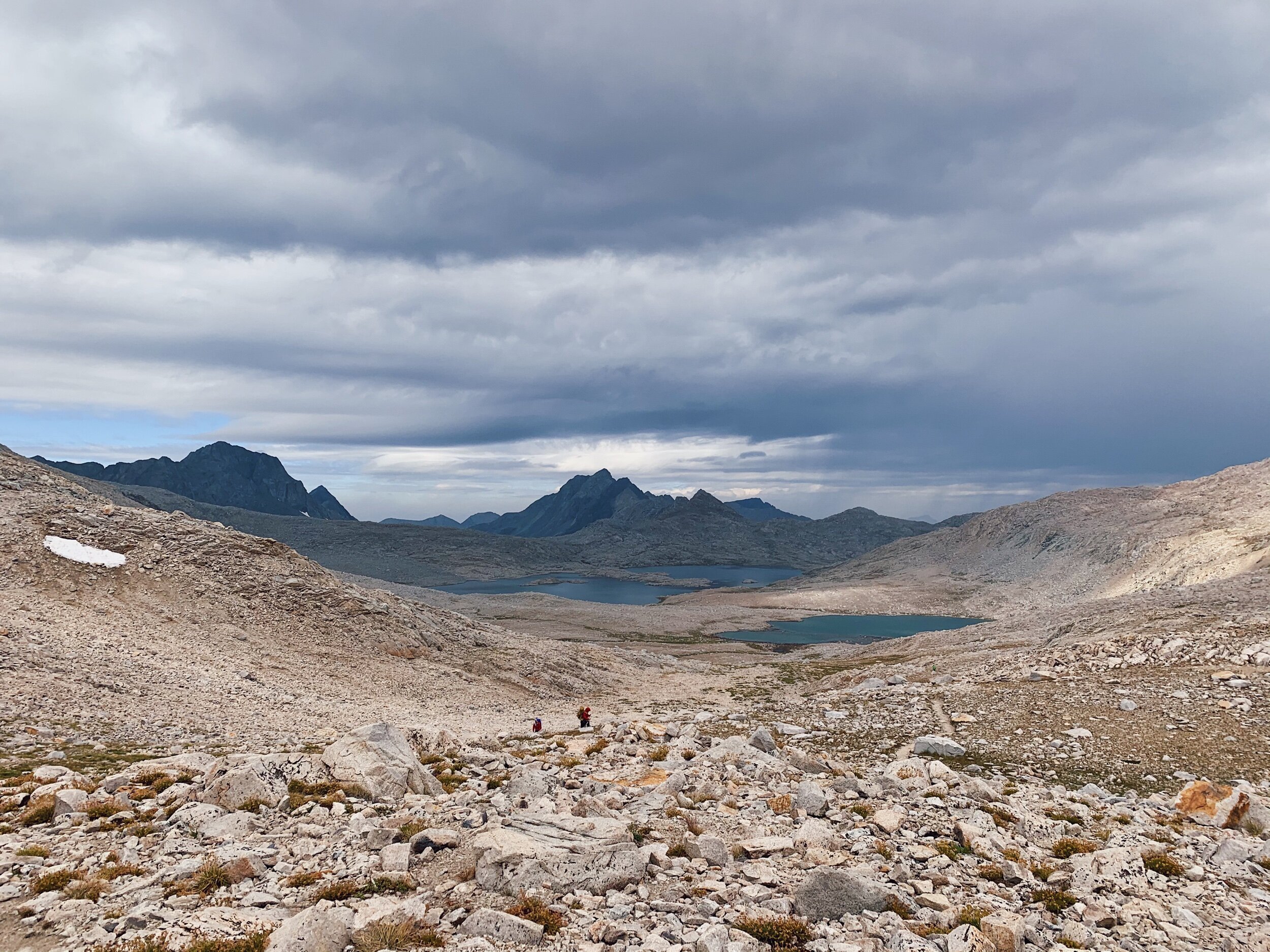
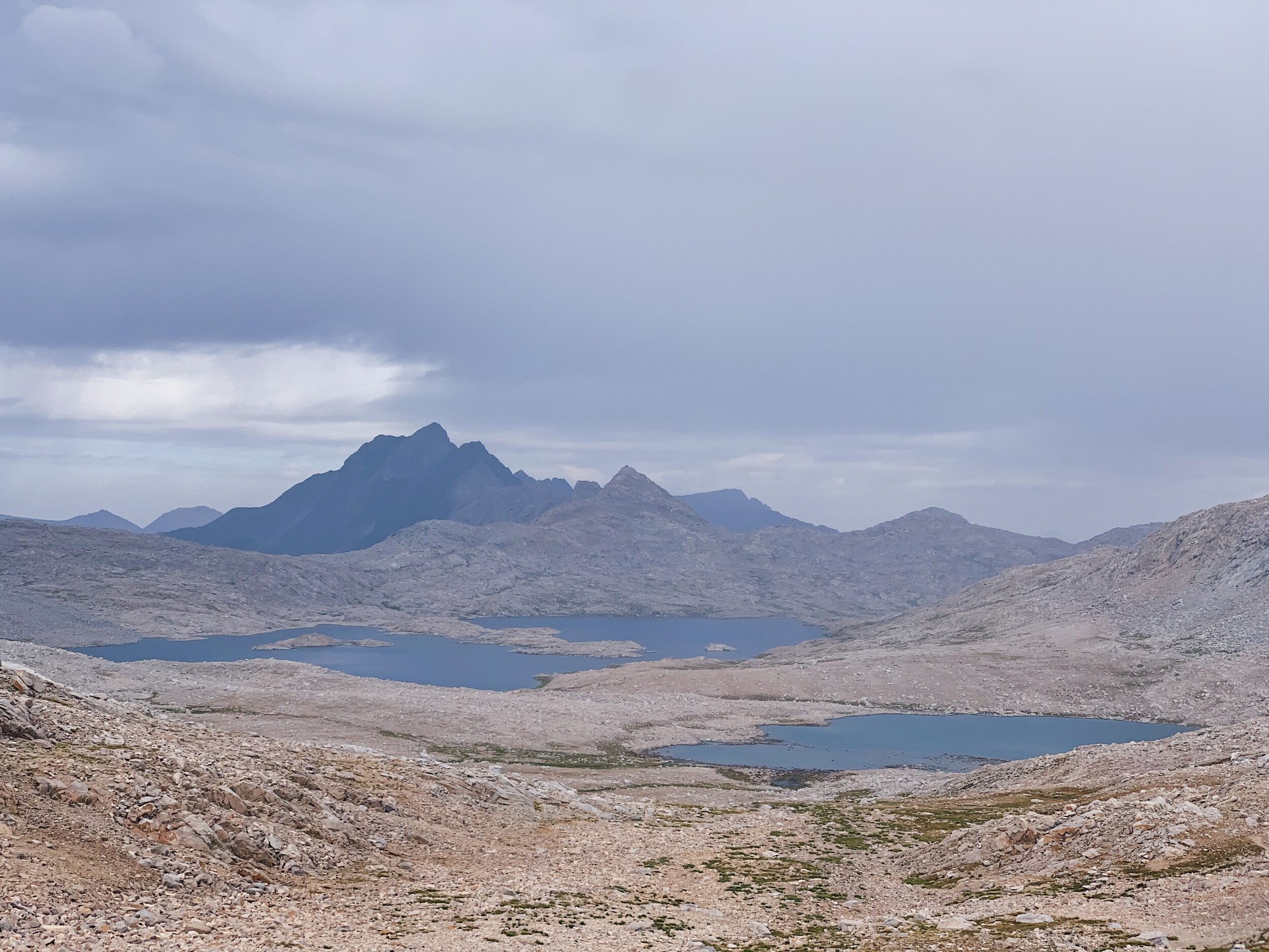
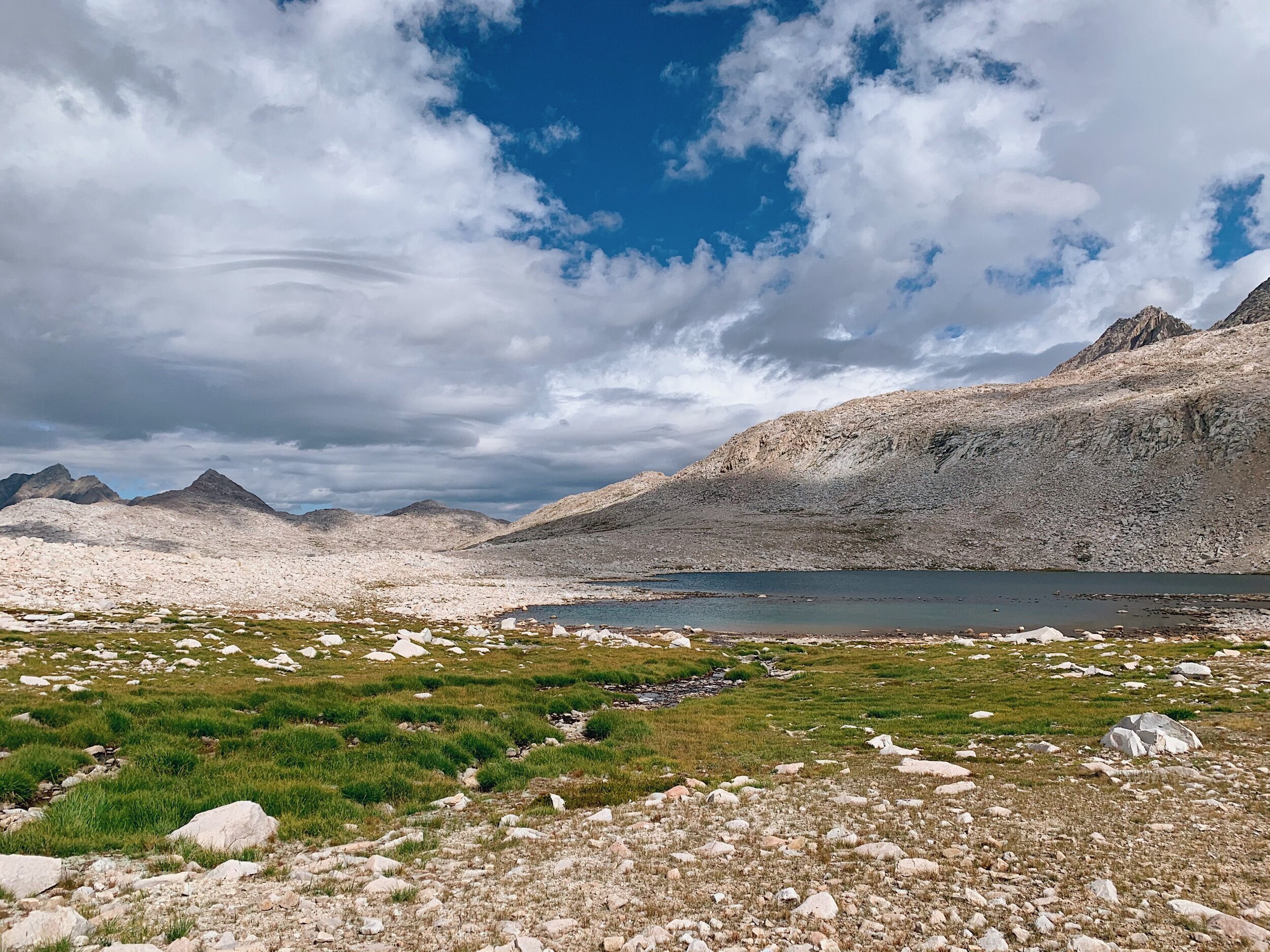
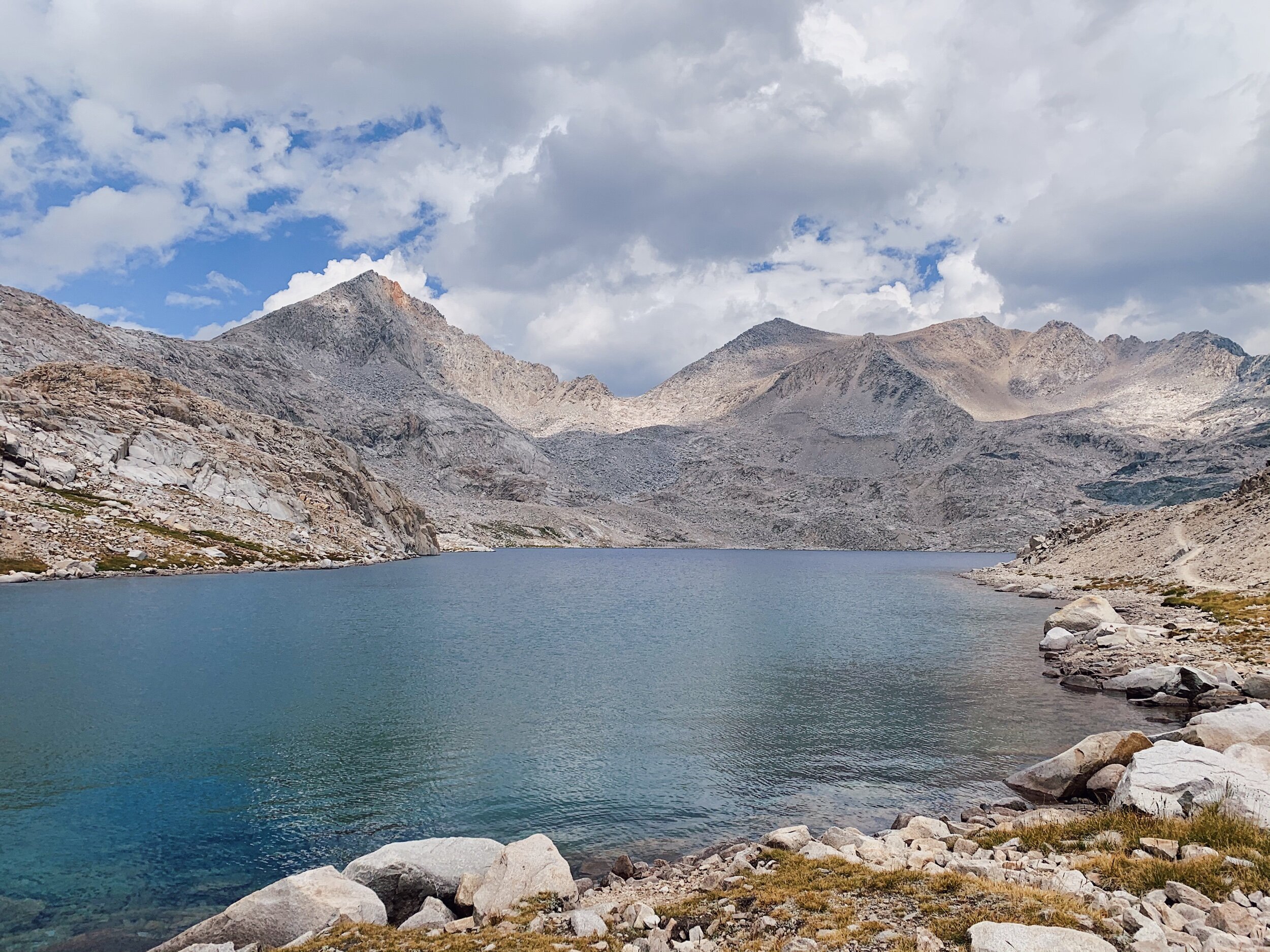
Walking through Evolution Basin at sunrise and with mixed weather was a dream! It was gorgeous everywhere we looked. I took so many photos. It’s hard not to in a place so gorgeous. Above the south end of Evolution Lake, we saw Lauren getting out of her tent. We wondered where we missed her yesterday! Turns out she passed us while we had lunch. We kept climbing and climbing. We crossed Evolution Creek, went above Sapphire Lake, and finally arrived at Wanda Lake. The clouds were still in the sky and moving so rapidly. It was hard to tell what the weather was going to do, but it didn’t look too scary. At Wanda we grabbed water, anticipating a longer break at the top of the pass. After Wanda Lake, the trail gets steeper as it approaches Muir Pass, so we slowly climbed up. At this point, it started lightly drizzling and even hailing a little, and was still so windy, I had to brace myself against it a few times!

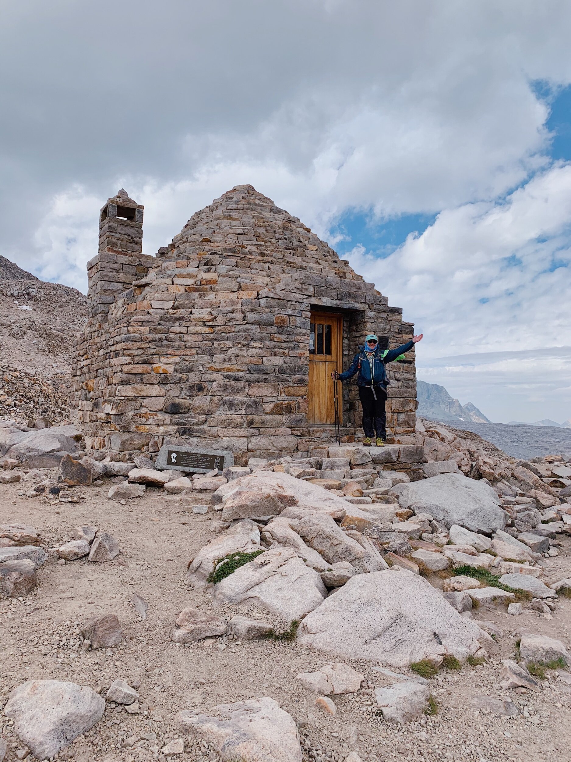
Finally, ahead of schedule, we got to Muir Pass and the hut! It was so cool to be there in such a different weather situation than last time! We took a few pictures outside and quickly went into the hut to save ourselves from the wind. We hung out with Lauren and a few other hikers, and I ate lunch in the hut. Some northbounders came in as well, and after eating, we started our very, very long descent down.


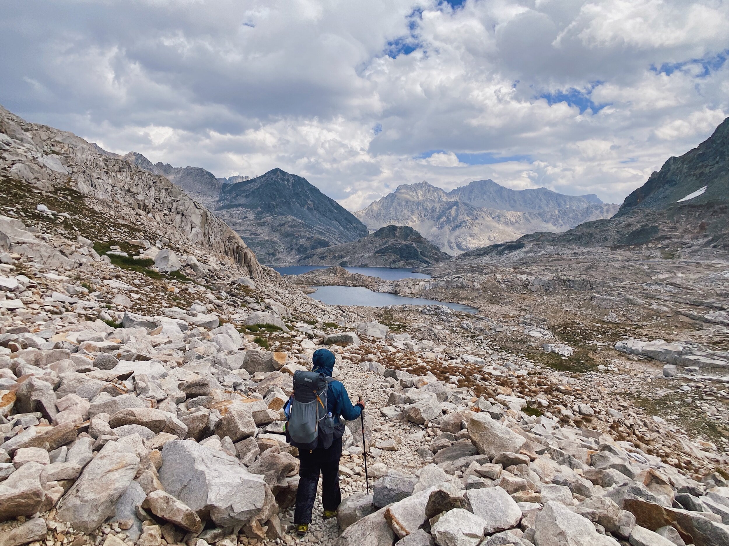
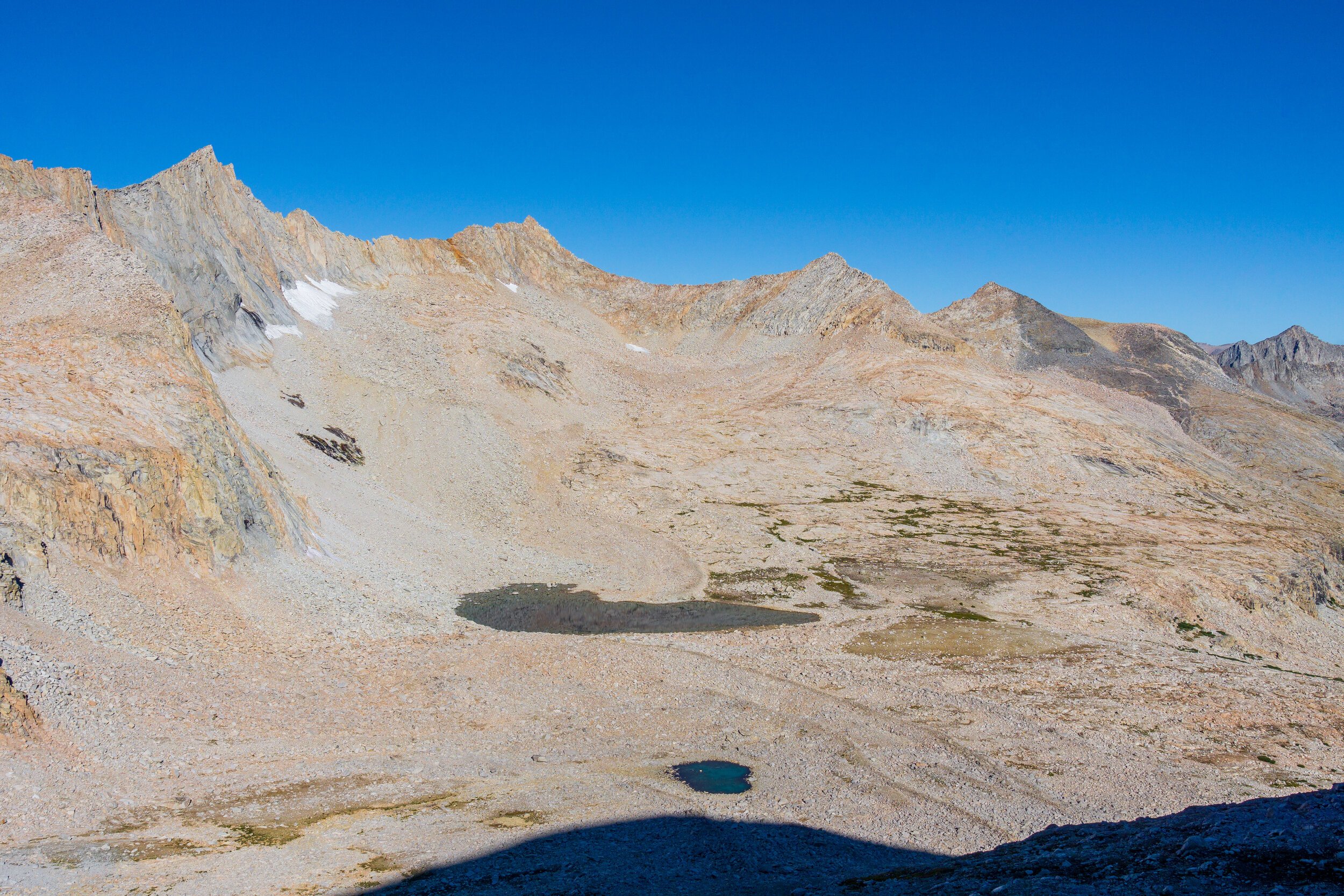
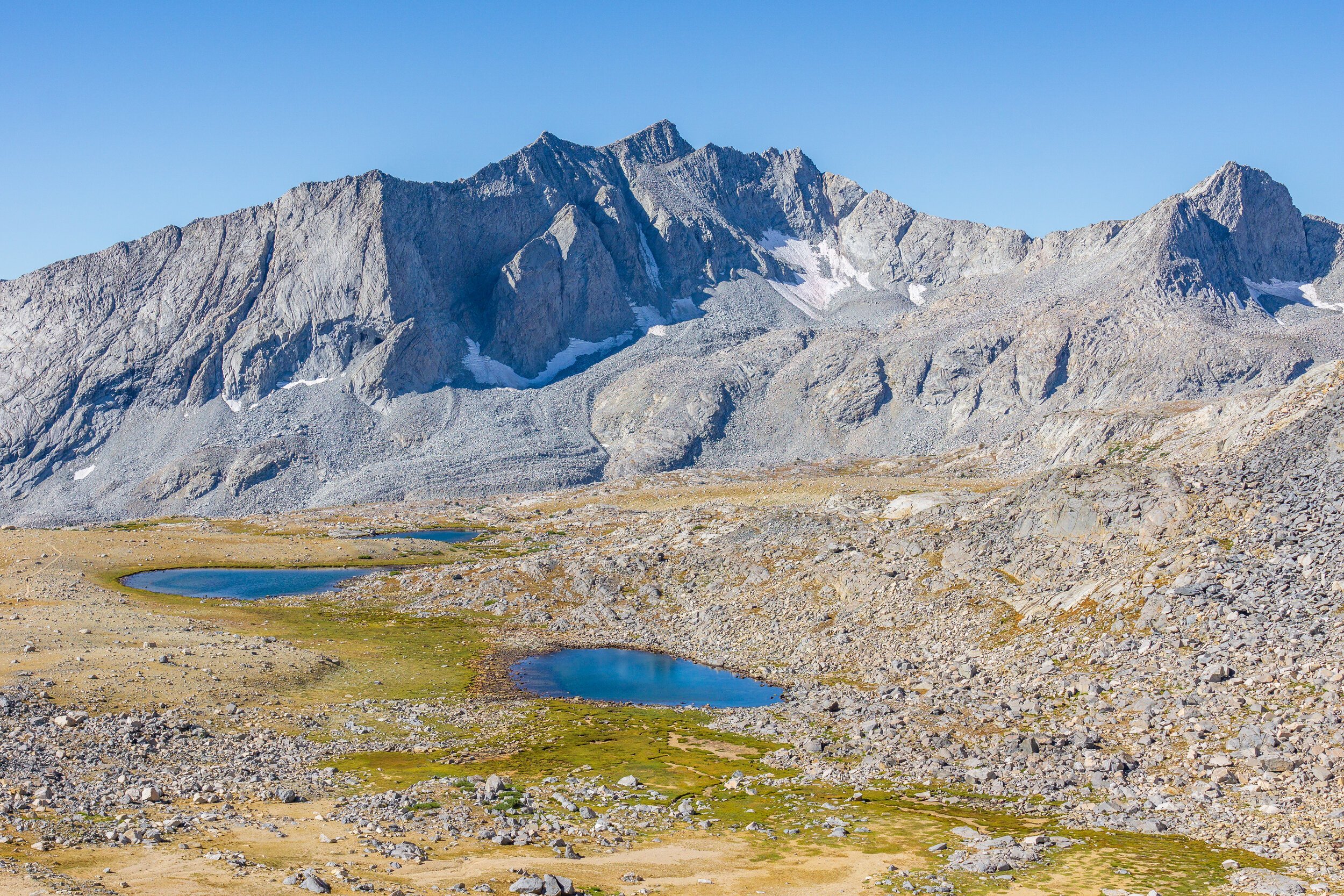
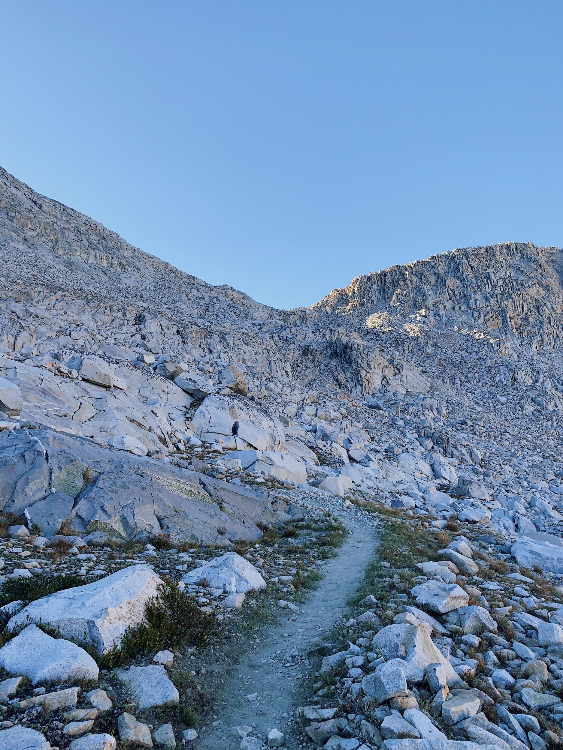
Oof. Idk if it’s because I’m getting older (ha) but these descents are killing me! First, I had no frame of reference for this descent because it was so different in 2018. There was so much snow back then! And now, just a ton of rocks. And so much trail that just meanders around. It seemed to never end going down Helen Lake! And that was just the beginning. The rest of the way down was mentally and physically draining. I honestly can’t believe I went up this way in 2018! I was so much more fit back then.
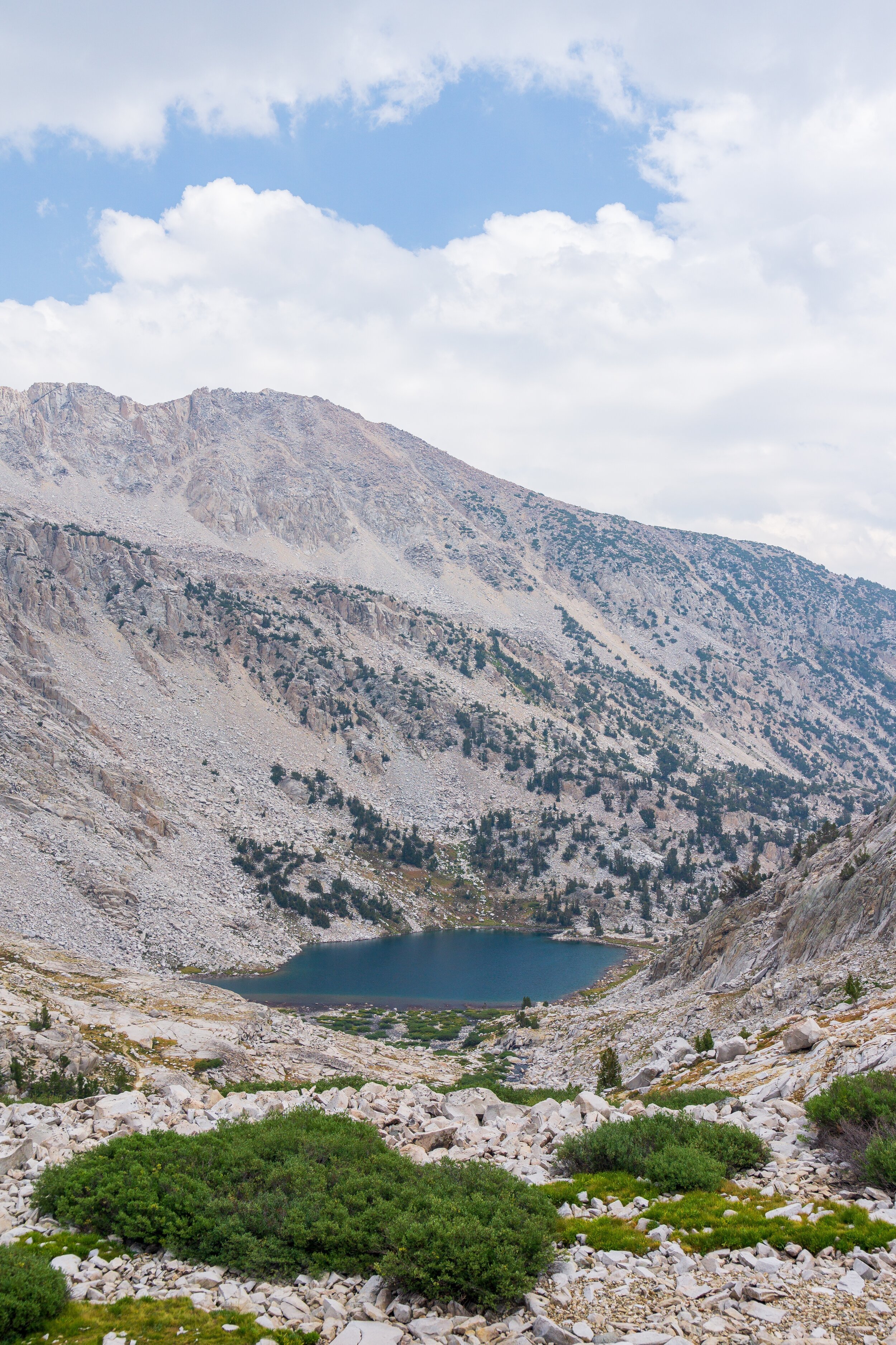
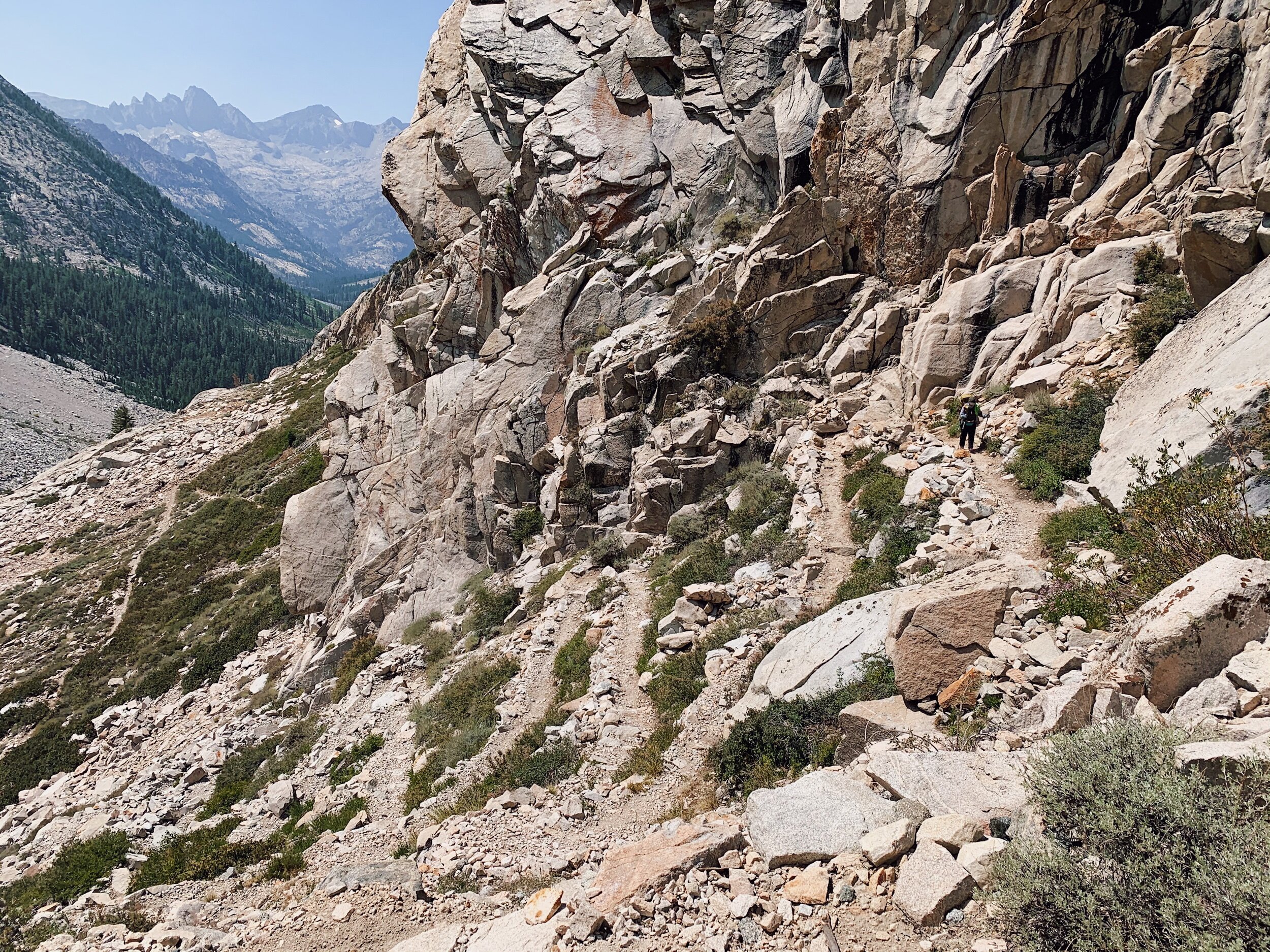
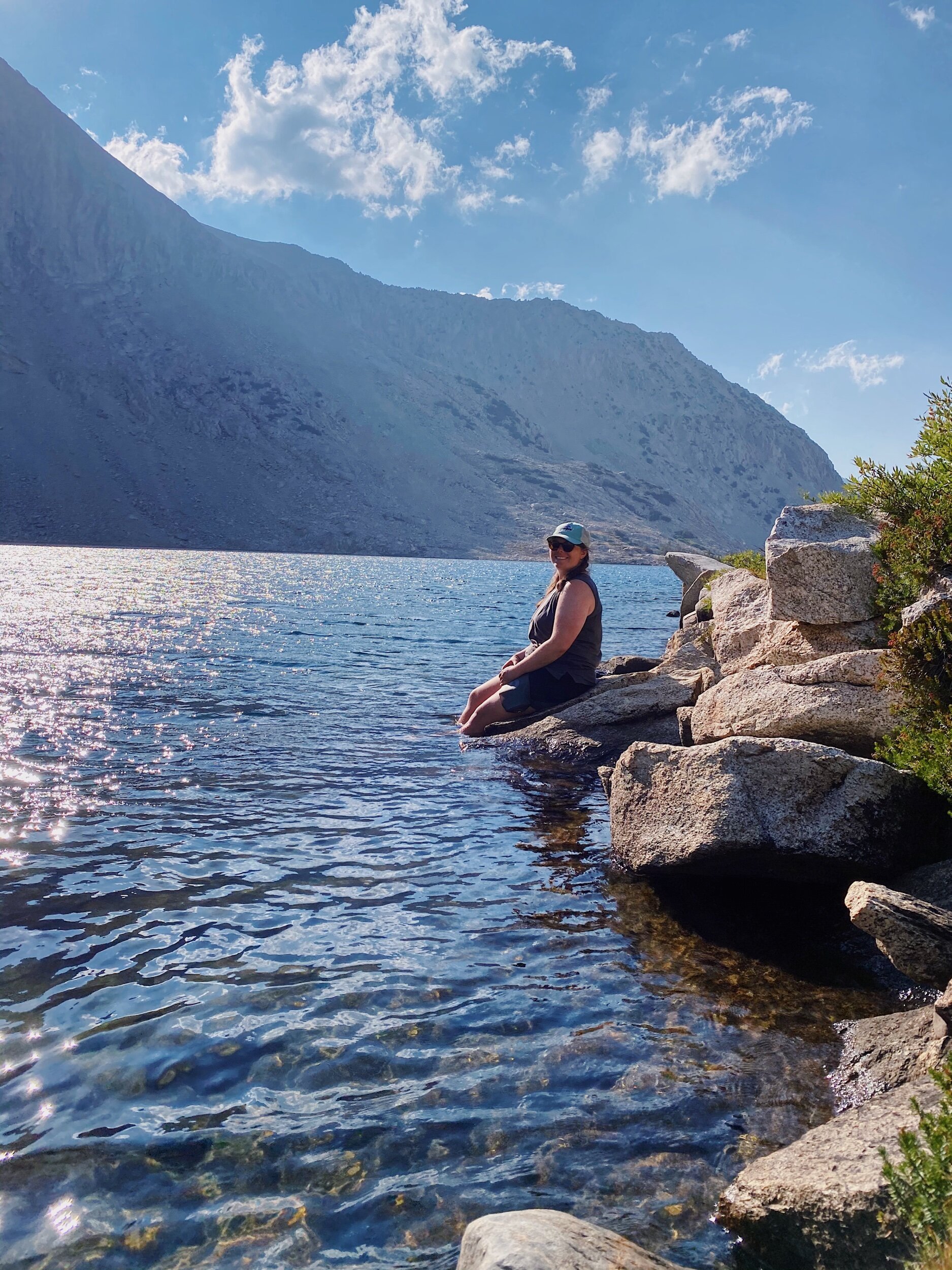
A little ways down, we took a rest to soak our tired feet in a beautiful unnamed lake. After that it was just rocky switchback after rocky switchback. We didn’t exactly know where we were going to stop for the night. As far as our feet could handle since we have another big day tomorrow. Both Big and Little Pete Meadow were filled with tents, so we pushed onto the LeConte Ranger Station where there is camping just down the trail. There were some empty spaces!
We ended up tenting near Megan and Bob from Denver, who we briefly met at MTR. We ate dinner and chatted with them for quite some time! It was a joy to have some good company! They are also headed to Palisades Lake tomorrow, and have the same Whitney summit goal date as us, so I’m sure we’ll be seeing them plenty! We talked with them until dark, and then got ready for bed much later than usual. I’m so happy to be laying down right now because my feet are killing me! Downhills are rough. I also finally finished my small 4 oz gas canister during dinner tonight. It’s the only one we’ve been using (Mom is carrying another 4 oz canister) - and I can’t believe it has lasted this long!
JMT DAY 17 - 8.25.20
LeConte Ranger Station to Upper Palisades Lake (mile 148.5) // 11.5 miles +3,000 -850 ft
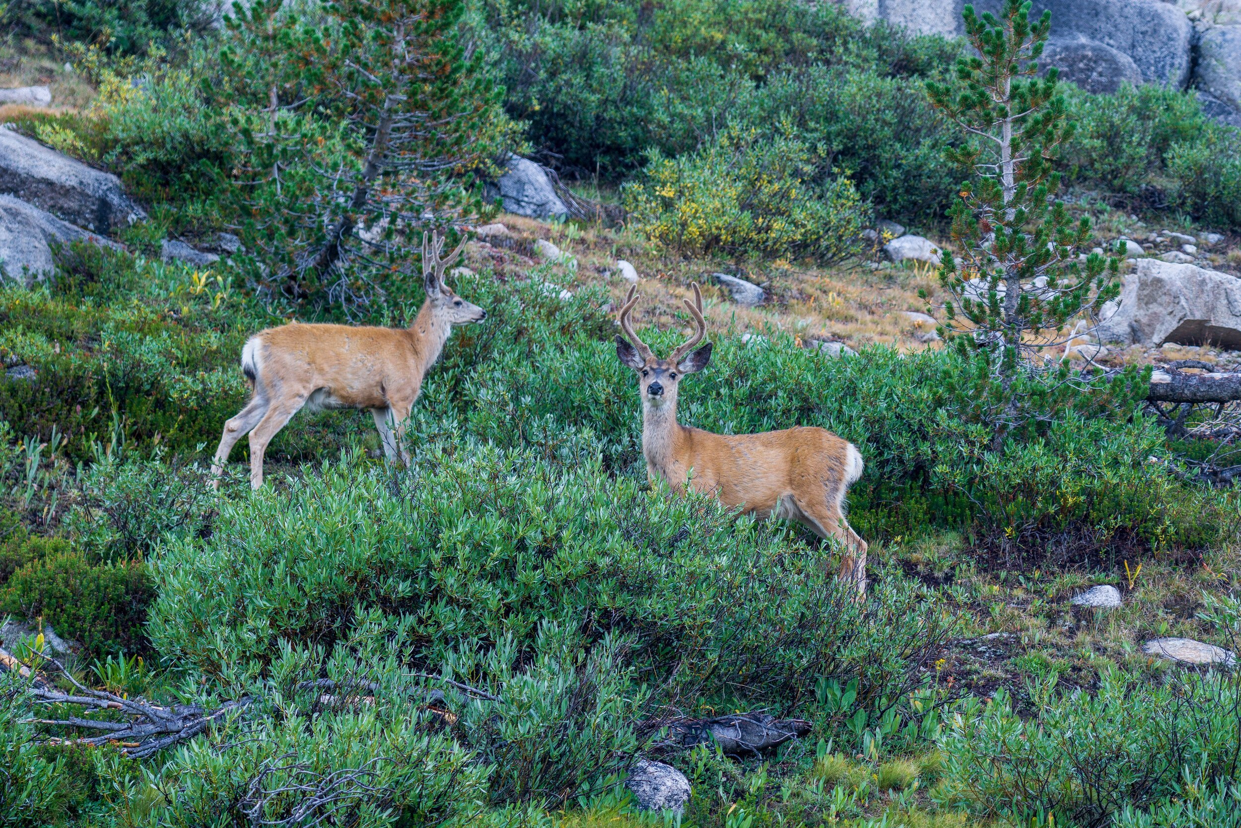
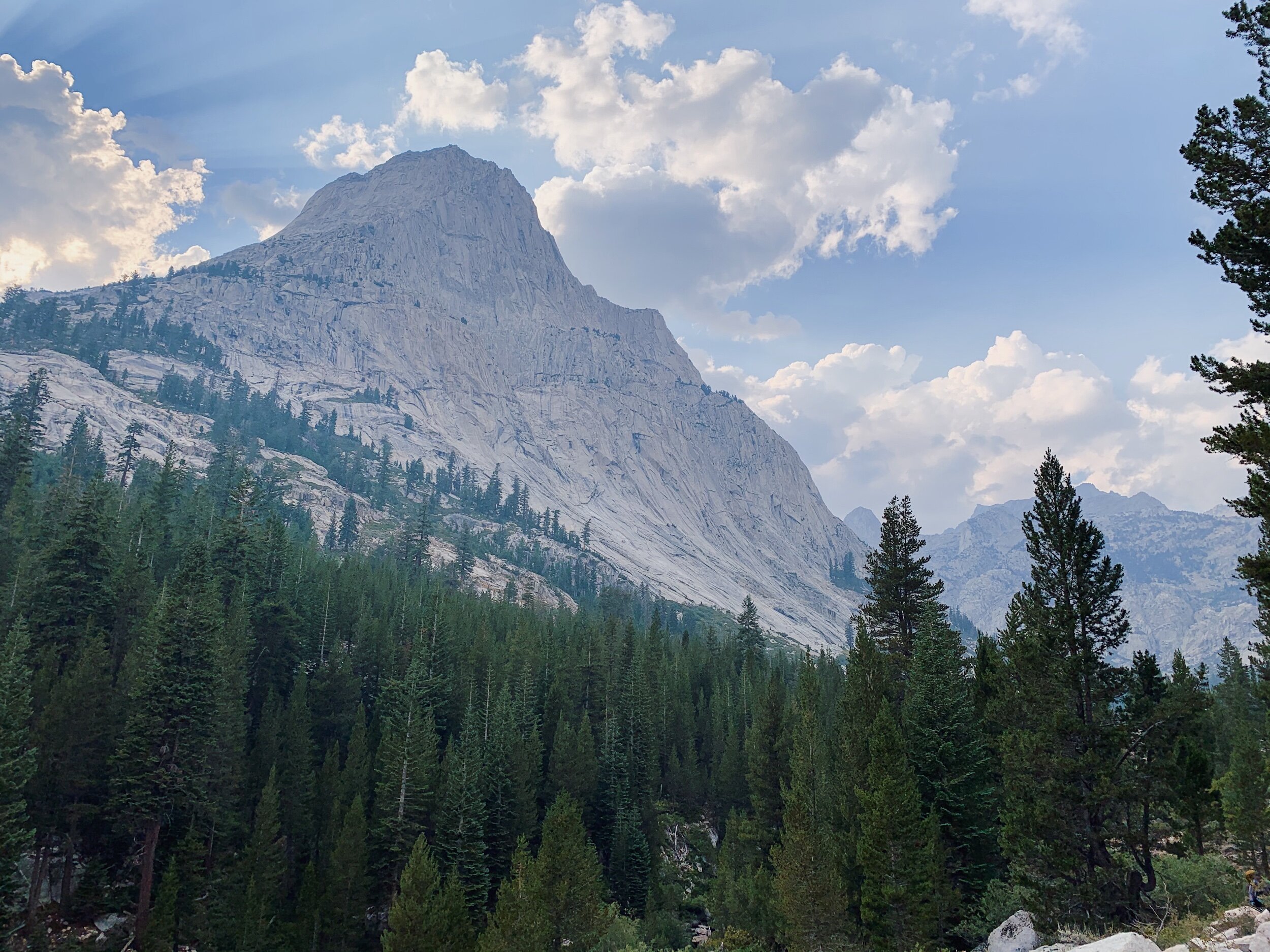
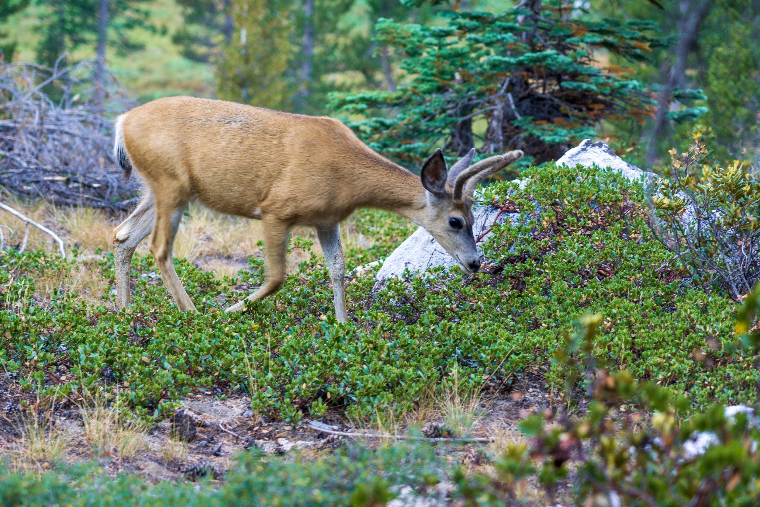
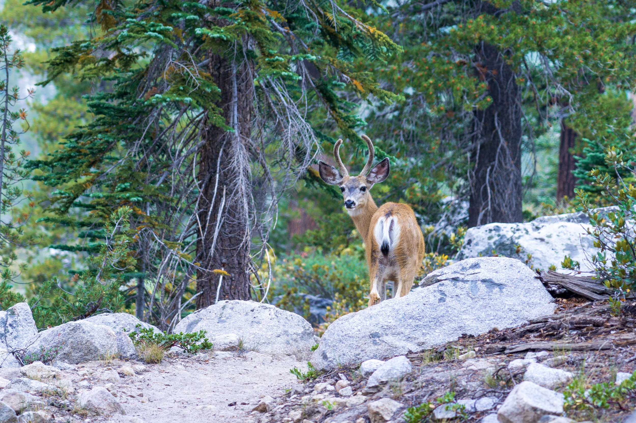
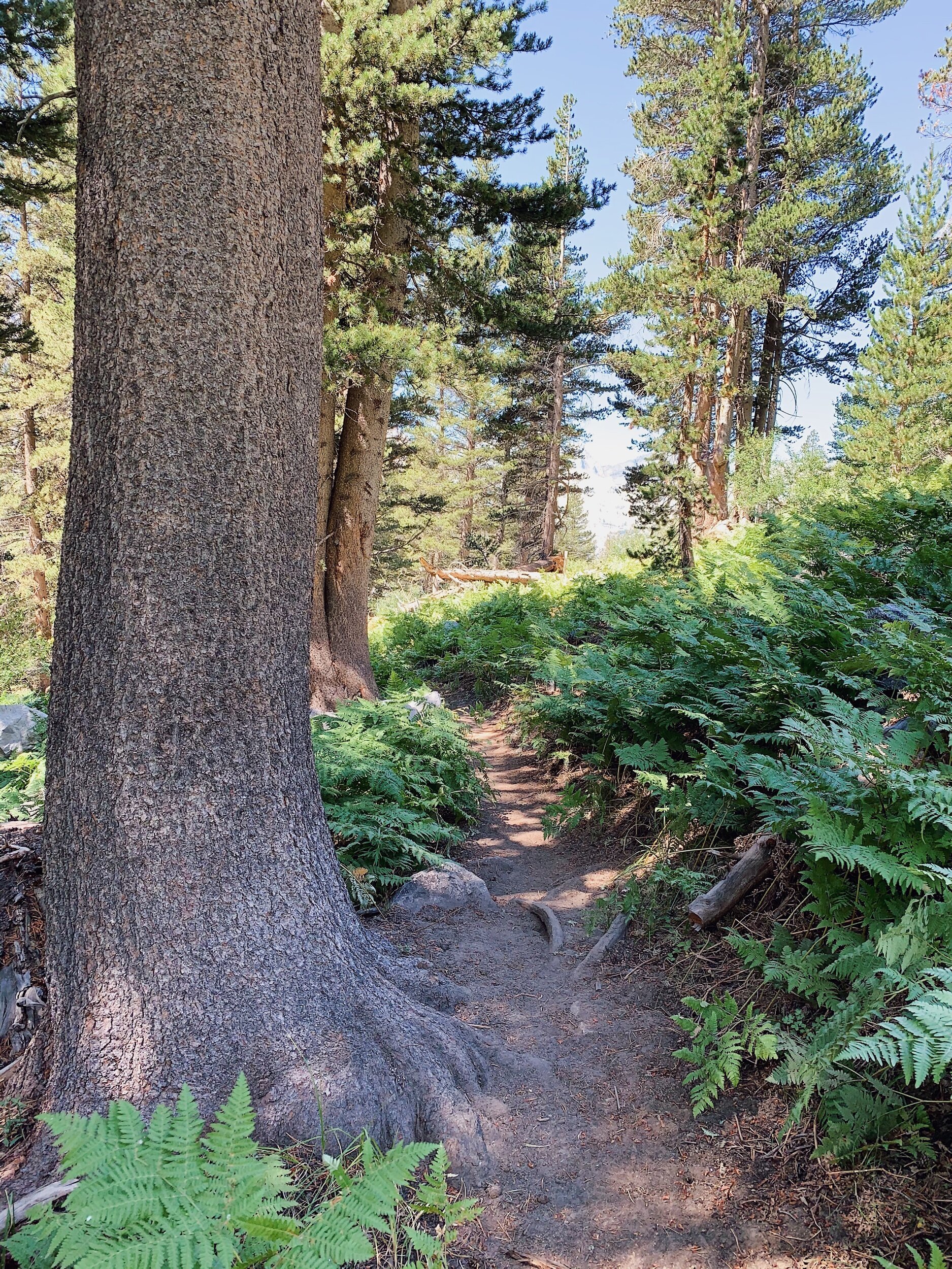
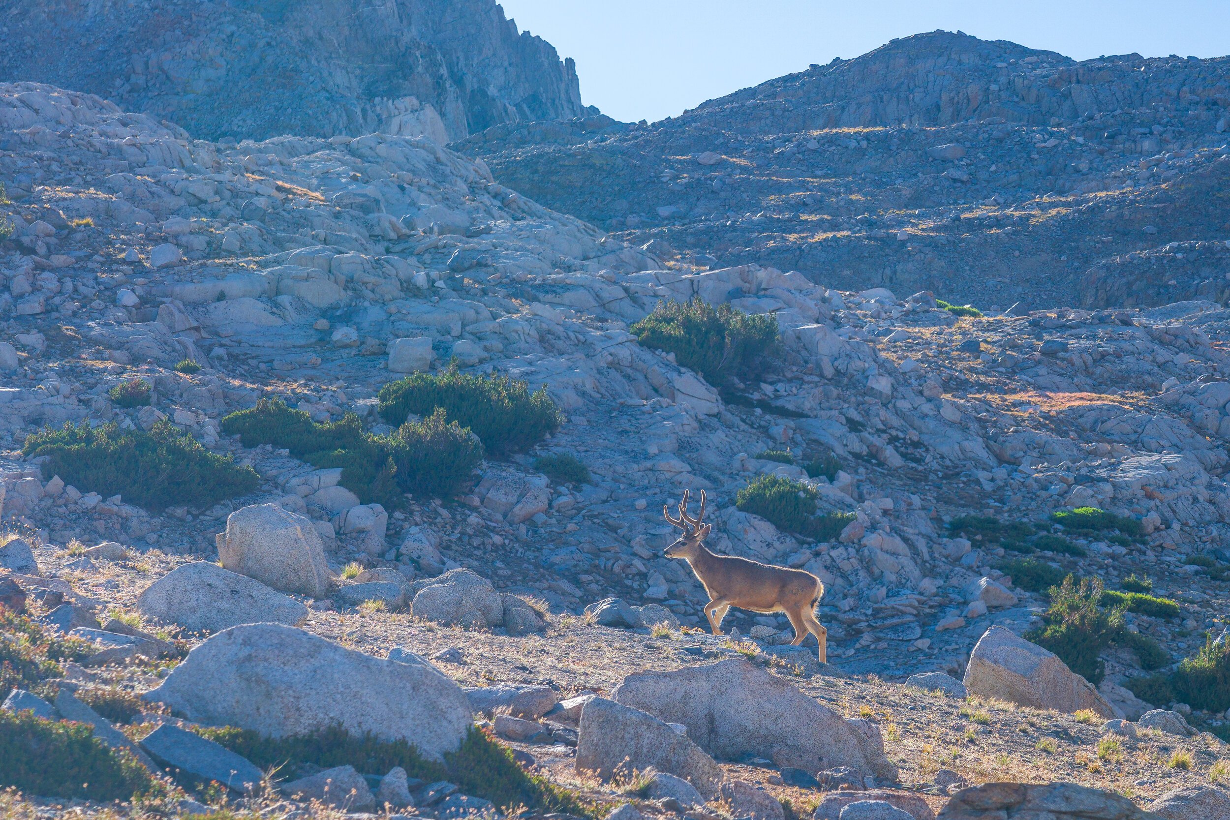
We got started at 6:30 this morning, with just a little bit of light creeping into the forest. It wasn’t cold, which was a nice change from yesterday! We had a few miles of downhill to do until we reached the very bottom of the climb. They were pretty uneventful, but we did see lots of cute deer, and the views from Grouse Meadow, where I camped on the PCT were really nice (I arrived late & left early at that spot so didn’t really see views back then).


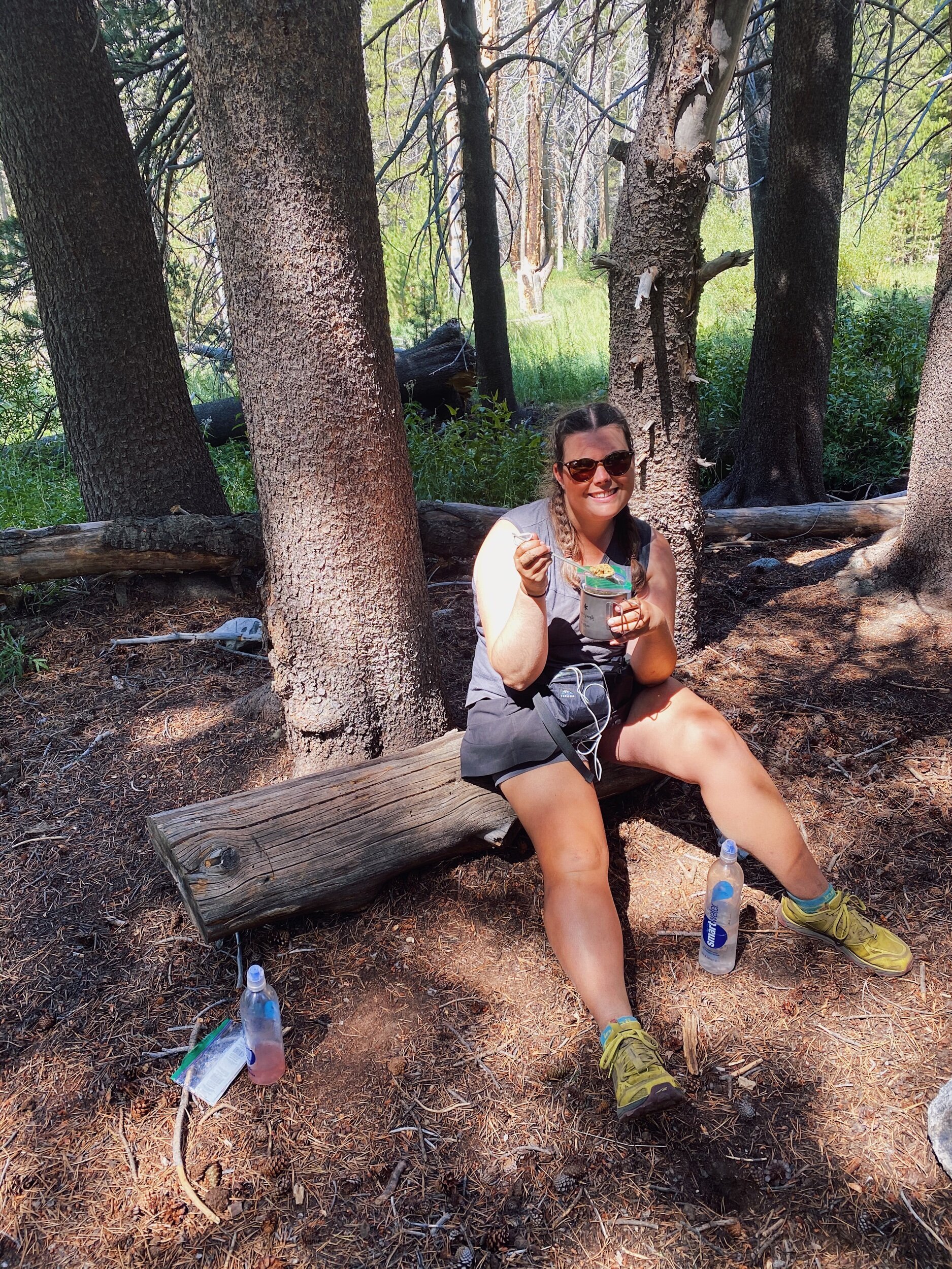
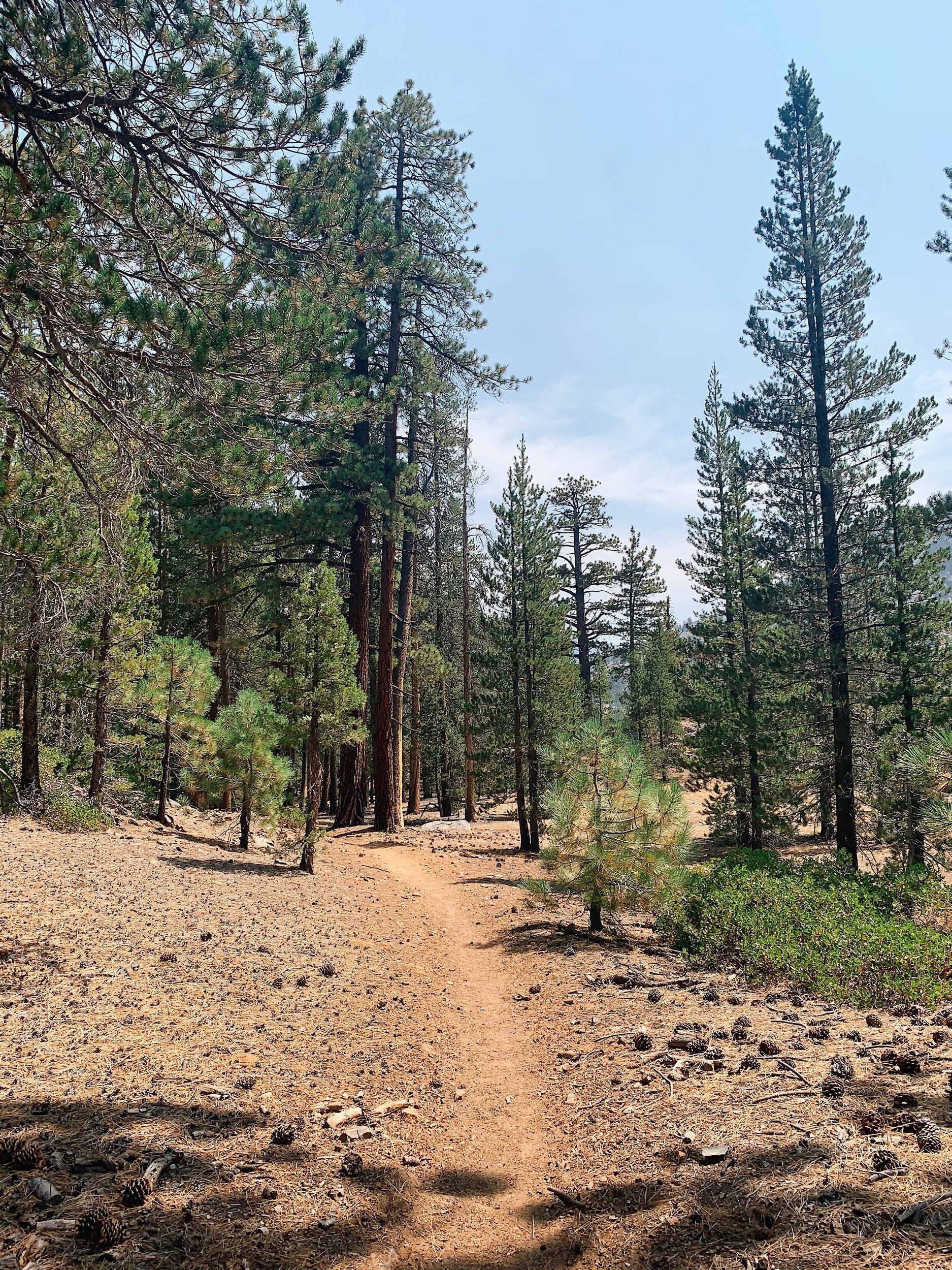
At the bottom, the uphill began, you know, as it usually does. It wasn’t too bad at first, pretty gradual. We stopped for a water and snack break and to cold soak lunch after about a mile of going uphill. The next 3-ish miles were a gradual climb, going through a burn area, so we had some shade and some intense sun. I listened to a podcast to get through this part.
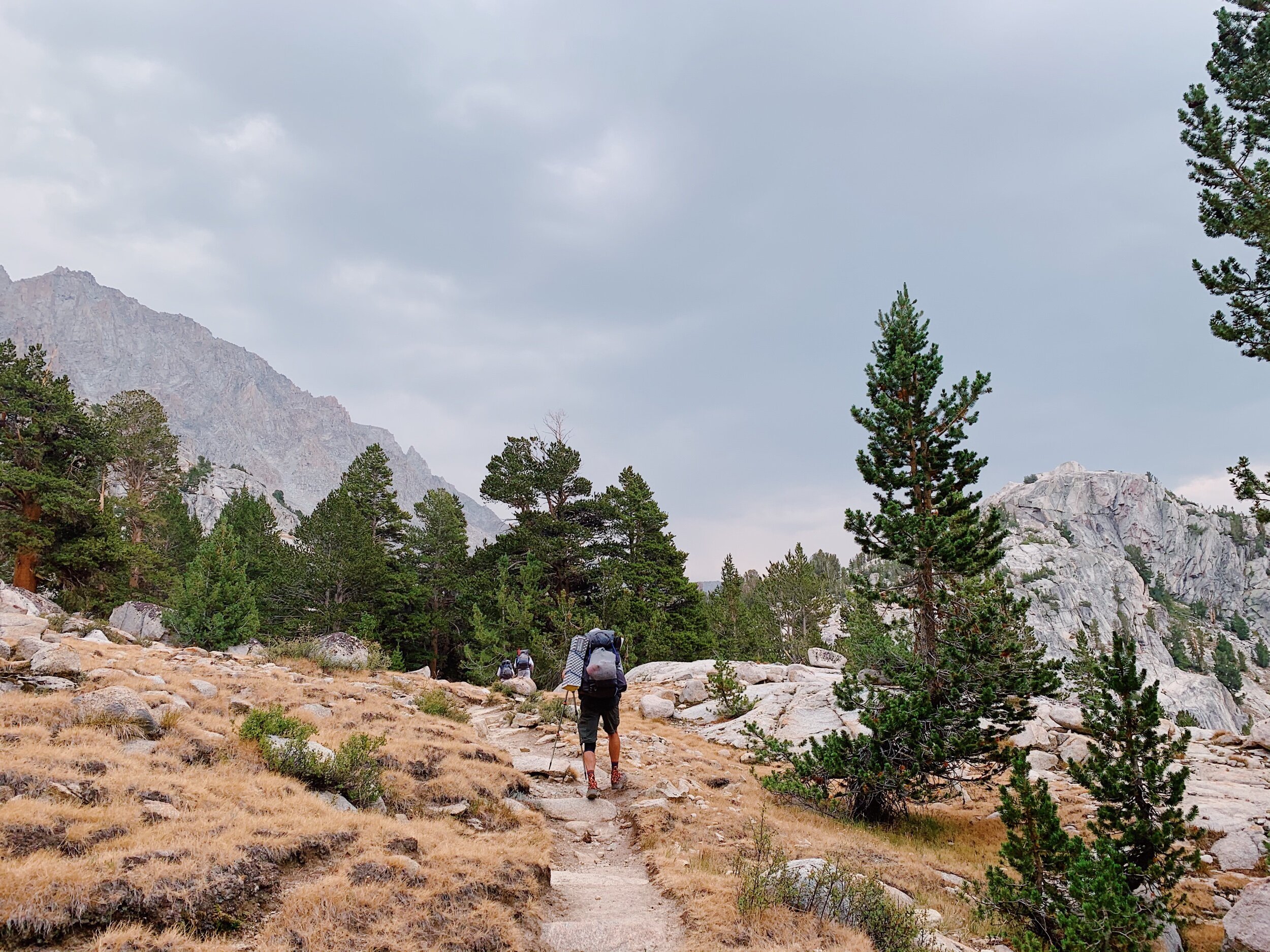
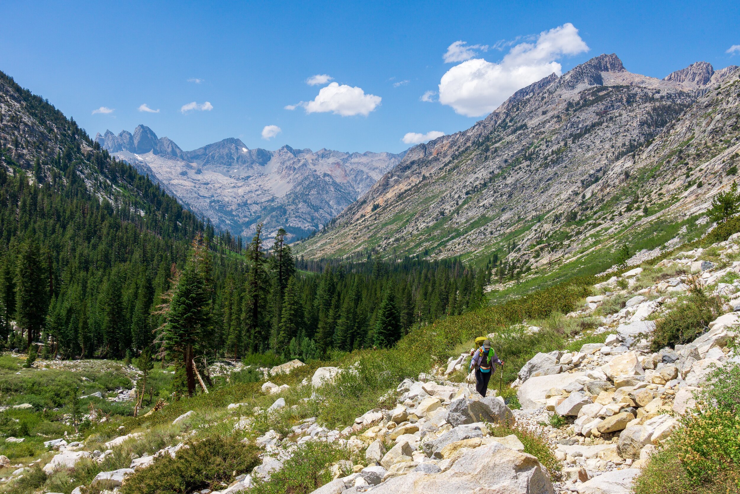
We ate lunch at Glacier Creek, where we filled up our water as well. Bob & Megan came up a little after us so we chatted some more before cleaning up and getting going. Lauren appeared right as we were leaving, and we let her go on ahead since she crushes uphills! The next climb was going to be really uphill and really rough. It’s a nearly 2,000 ft climb in about 3 miles, and the “Golden Staircase” feature, which are a few sets of very narrow, steep switchbacks with big steps, is part of this area. It’s a pretty infamous section of the JMT. The climb was long and rough and sunny, but at least we had a strong breeze. It could have been much worse! And unlike yesterday, where we had a totally smoke-free day, we could see smoke settling in to the valley we had just left. Thankfully, there was no smoke going up to Palisades Lake and Mather Pass!

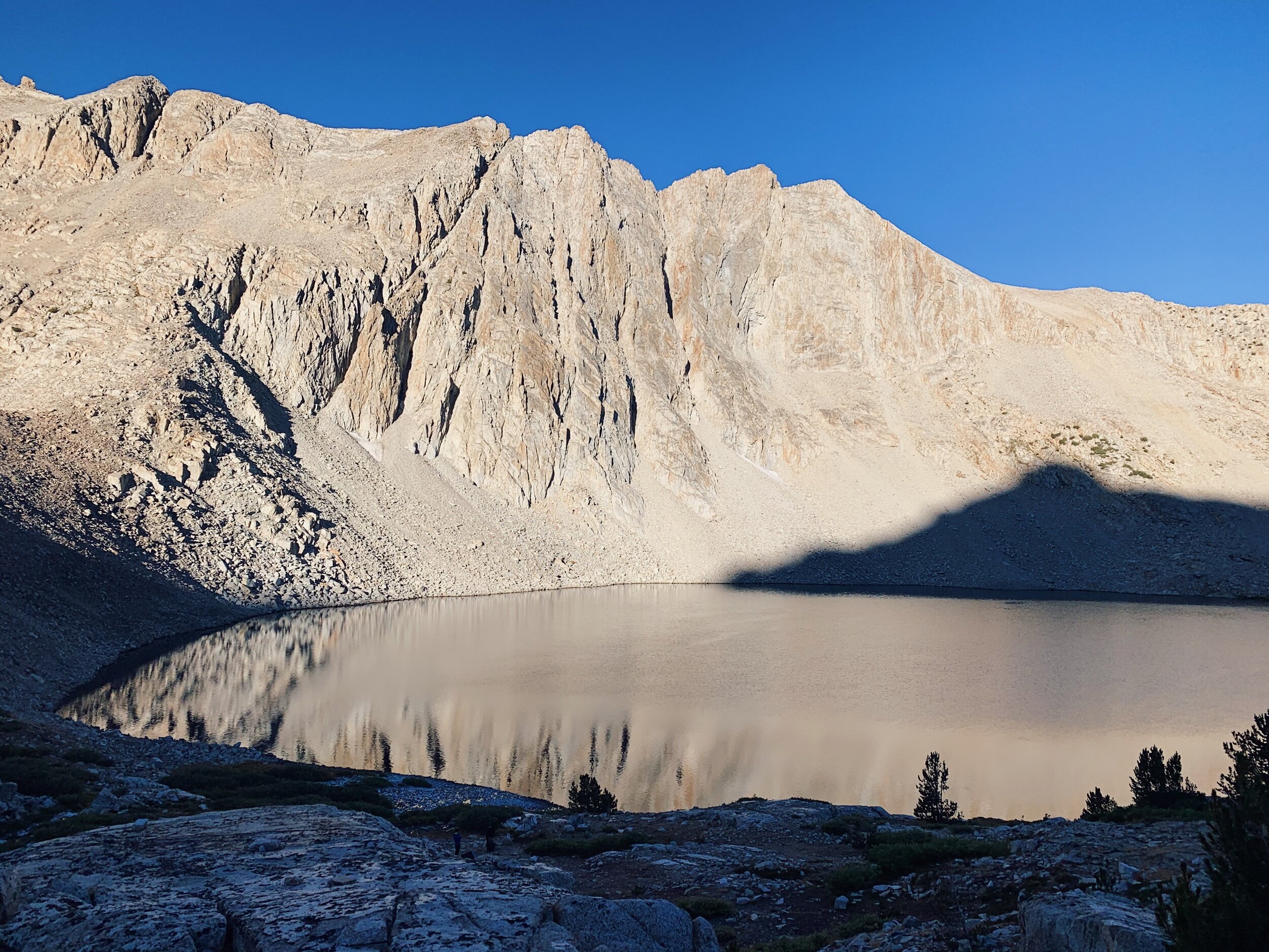
At the top of the climb, we arrived at Palisades Lakes. We debated between camping at the lower lake or going higher. I wanted to swim since it was hot, but ultimately, we decided we should close some gap between camp and Mather Pass for tomorrow. So we kept climbing to above the upper lake. There really aren’t a ton of campsites, but we were able to eventually find a suitable one. The ranger we met near the top pointed out a few options, which was nice of him! He’s the ranger at Bench Lake station. Pretty far from home right now! I wish there was better access to the upper lake! You’d have to really go on a cross-country excursion to get there, which was not something I was up for at the end of today! Luckily, a creek was nearby, which was a fine substitute for swimming. It’s nice to soak the feet and rinse some of the dirt off.

We’re camped at almost 11,000 ft, so it got pretty cold up here once the sun went down. We ate hot mashed potatoes for dinner (yuuummm) and quickly got ready for bed. I had to re-examine my ring toes: they are acting up on both feet and it’s pretty painful on both up and downhills. They’ve never caused problems before, despite being shaped funny, but it looks like it could be an ingrown toenail issue. They also usually have a large callous right on the edge of the nail/ skin but I picked it away before the trip started. Should have just left it alone! Oh well. It’s pain I can push through, and I’ll just have to visit the doctor when I get home if it doesn’t clear up.
JMT DAY 18 - 8.26.20
Upper Palisades Lake to Lake Marjorie (mi 159.5) // 10.9 miles +2,500 -2,100 ft
After a cold night, we had a cold morning getting ready! It was another one of those do-everything-in-the-tent mornings to stay warm. Everyone else at our campsite were also early birds and getting ready at the same time, which is always kind of nice so you don’t feel as bad about making noise.
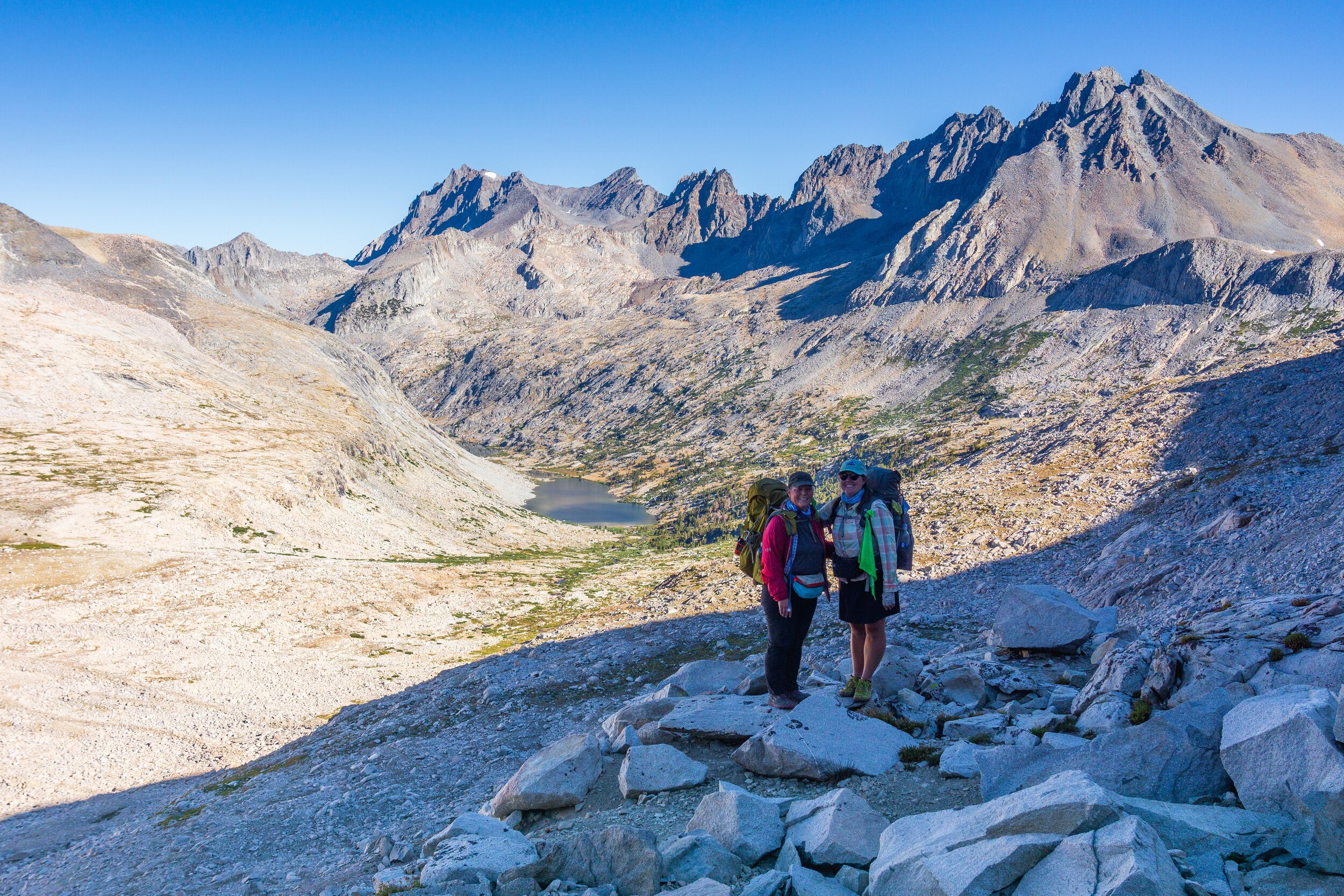
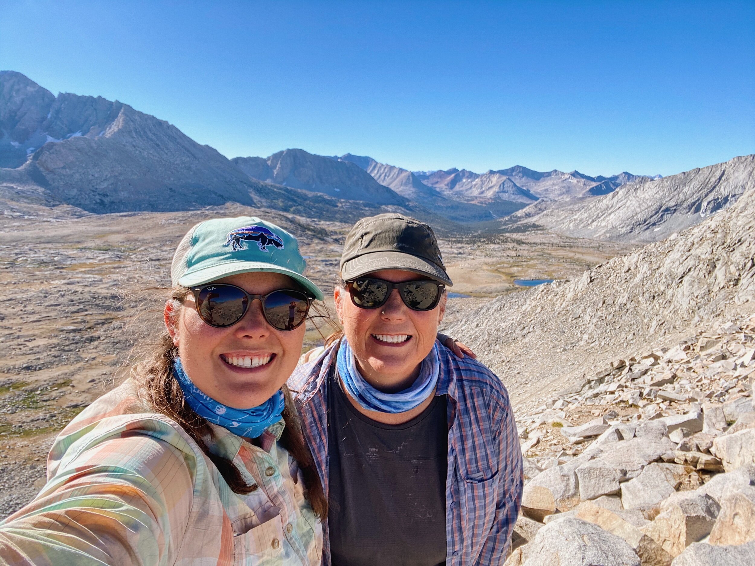
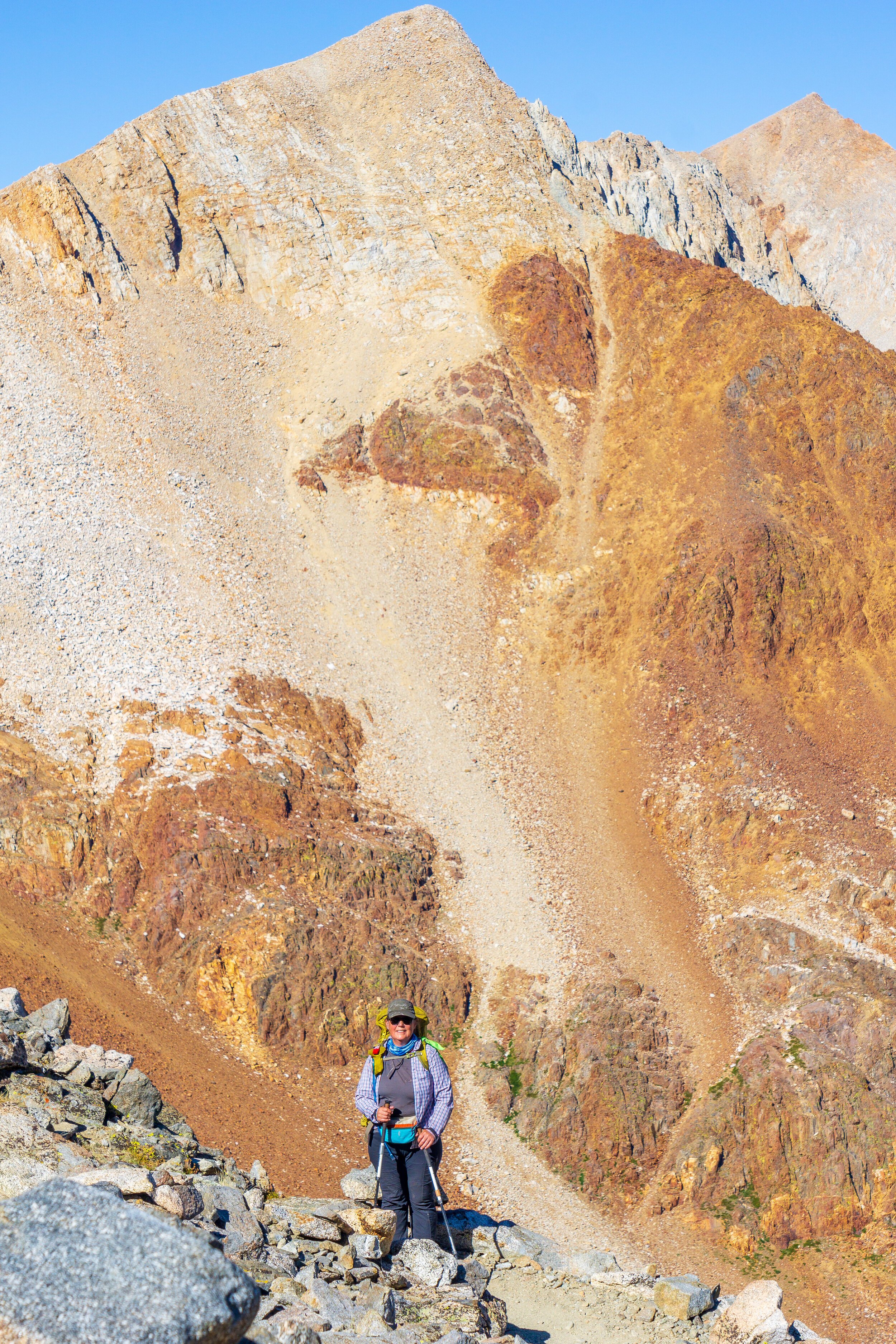
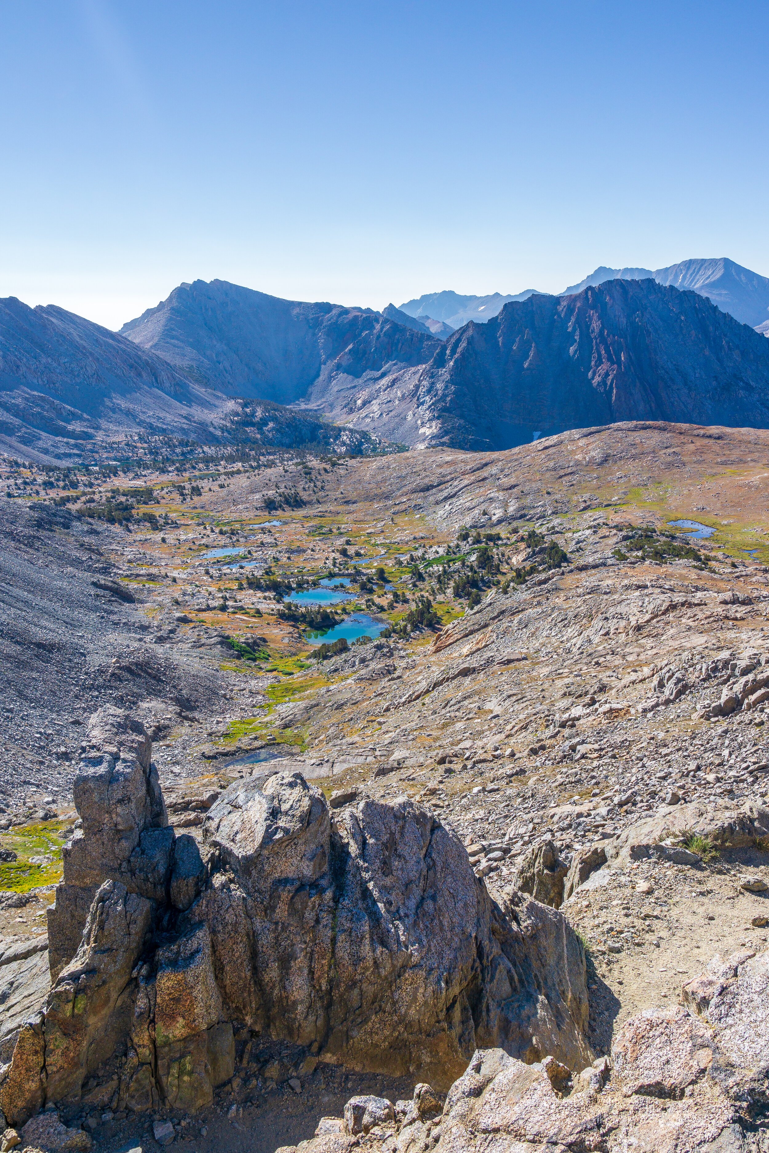
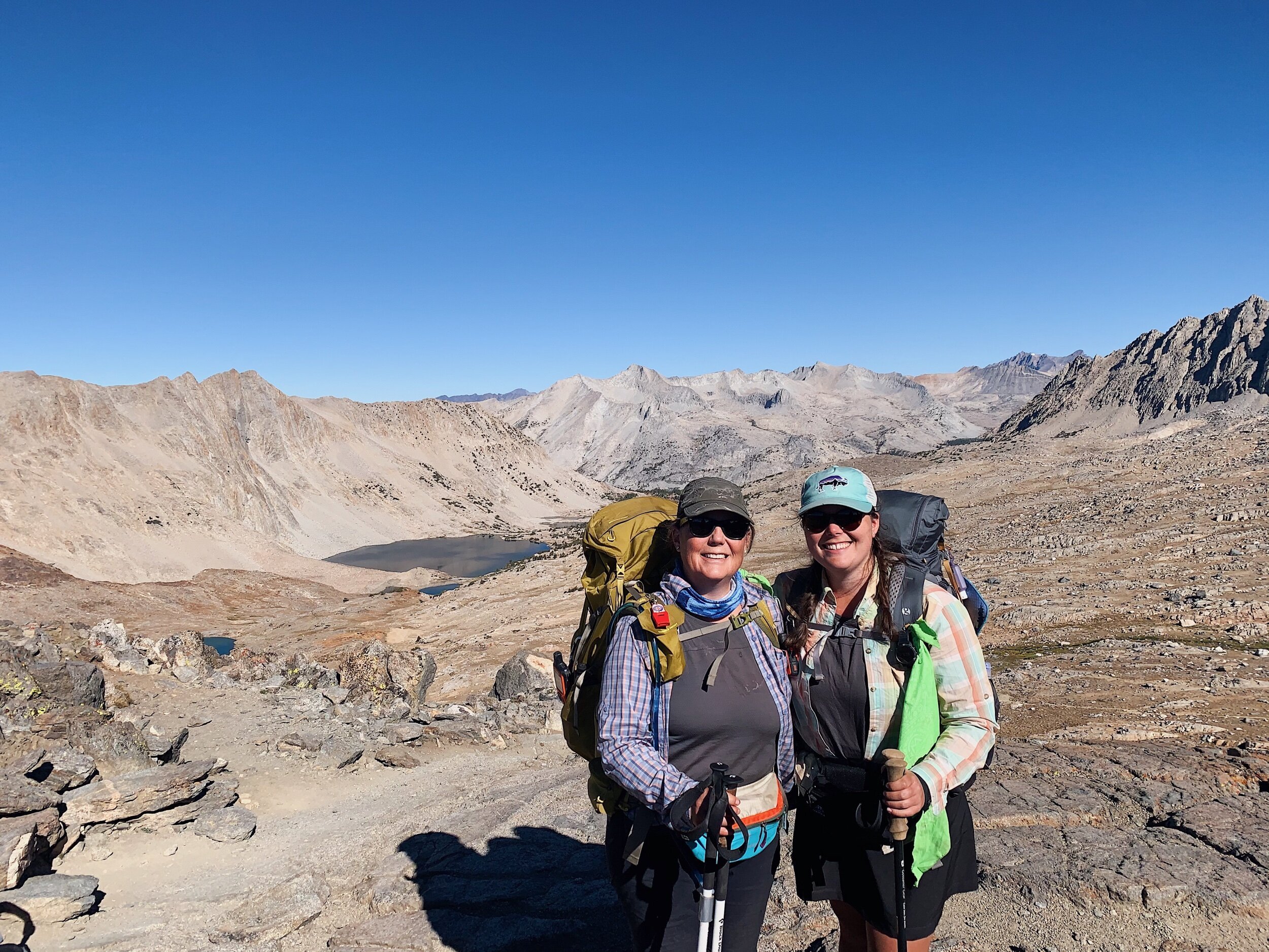
We had 2.5 miles and 1,300 feet of elevation to gain to the top of Mather Pass. It was slow going, and pretty cold still, but the views behind us were incredible as we kept gaining elevation above Palisades Lakes. I had to stop to take numerous pictures! Many groups passed us on the way up, but we finished the climb with Bob & Megan, which was nice and fun! Getting to the top of the climb and feeling the sun hit your face and seeing the amazing views in the next valley over was just amazing. We took a small break at the top since it was not cold and windy, and then started the descent, which was super well graded switchbacks. And not too many rocks.
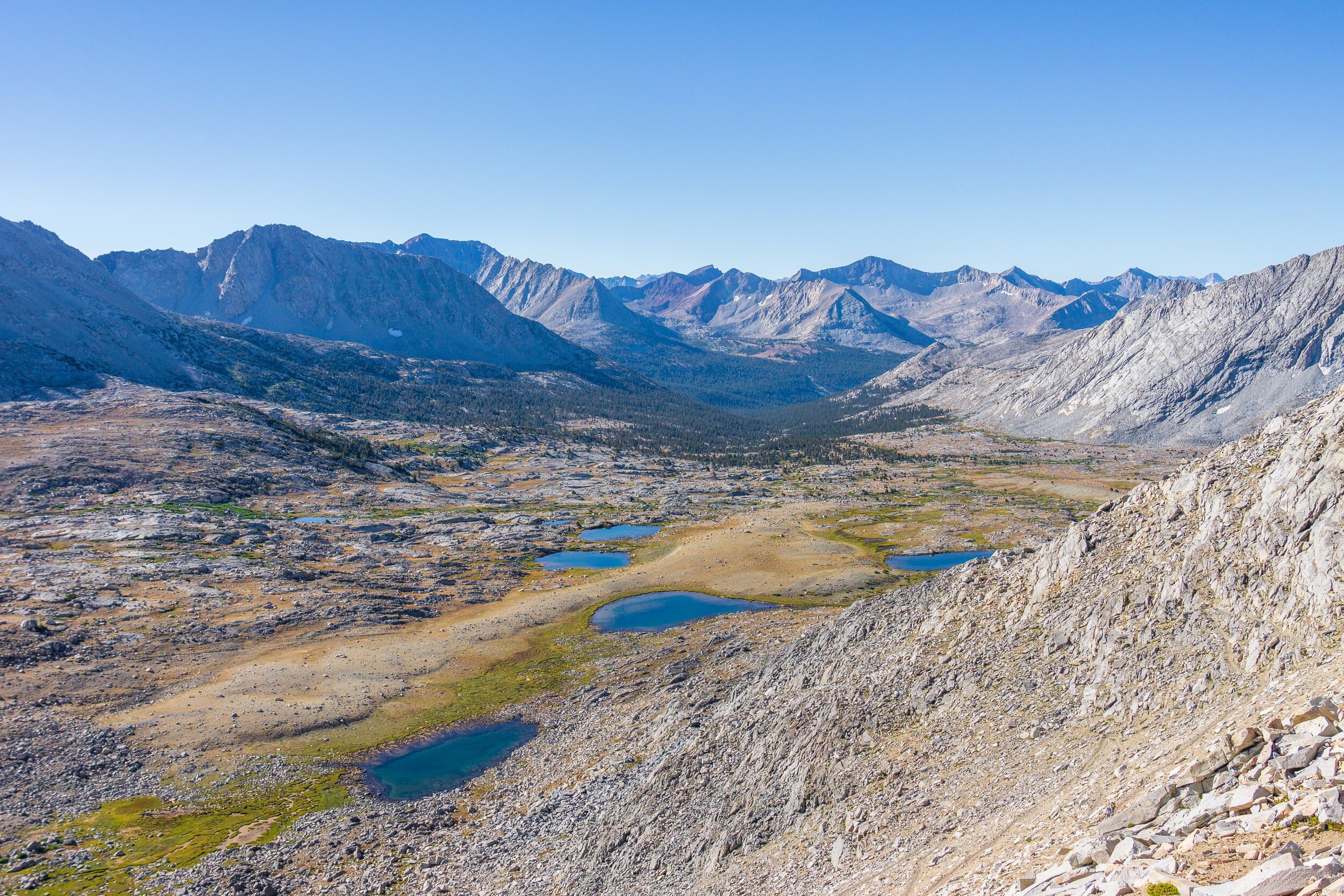
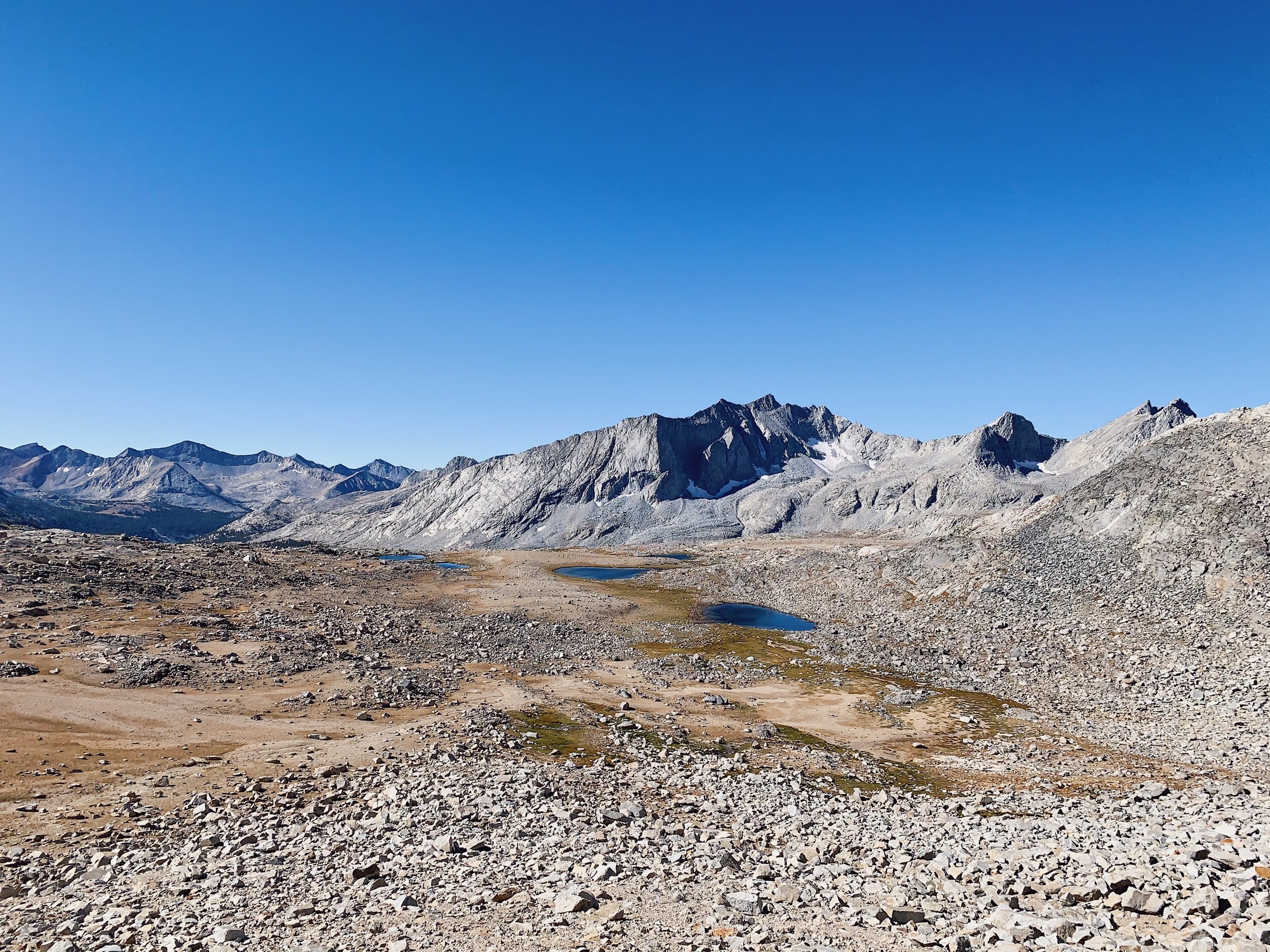
We stopped for lots of pictures on the downhill too since the views of the mountains and the tarns in the basin were just so beautiful. Lauren caught us right before the next water source, so we chatted with her for a bit before she went ahead of us. She might be trying to get to Kearsarge a day earlier than planned, so she’s going further today. We filtered water and started cold soaking lunch, then kept on hiking. After about another mile, we stopped in a shaded patch of trees to eat. Mom is having a hard time eating any food. I feel helpless because there’s not much we can do about it. I don’t really have food aversions out here: I’m just hungry, so I eat.
After lunch we hiked two more miles down to the South Fork of the Kings River, the bottom of our descent, where we took our shoes & socks off and soaked our feet in the cold water. This creek crossing can be super dangerous early in the season, and I remember it being so long on the PCT, but it was so small and rock-hoppable now! Crazy.


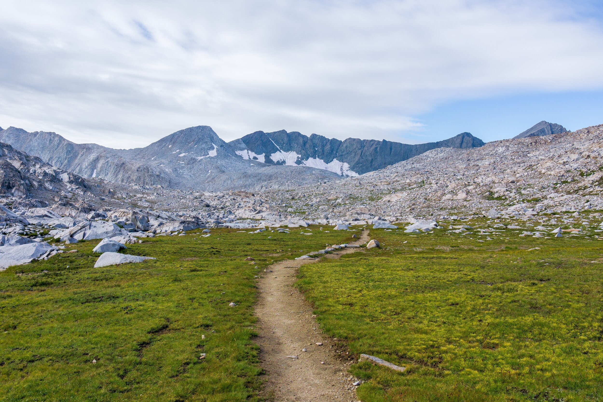
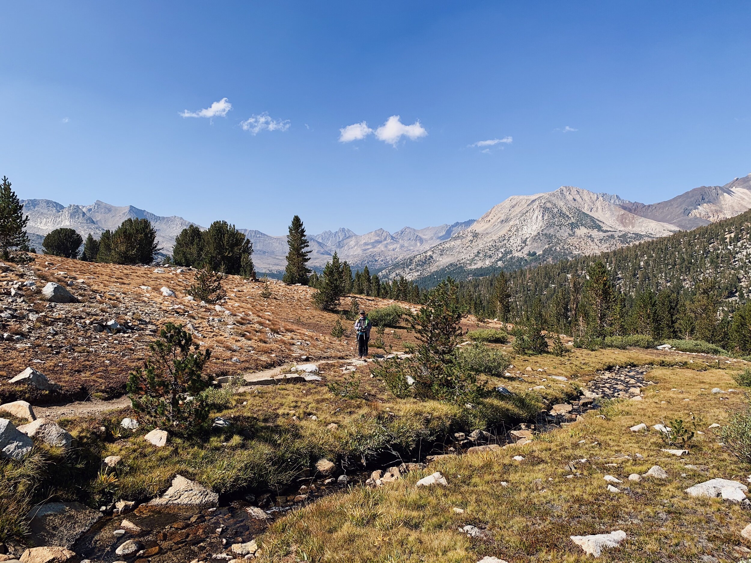
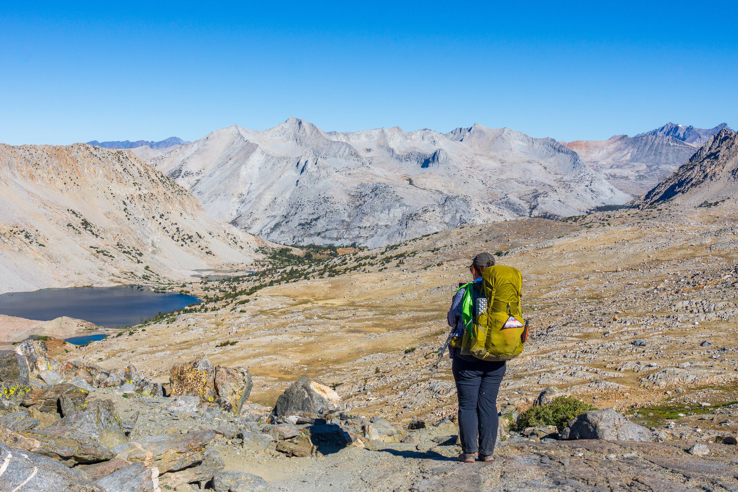
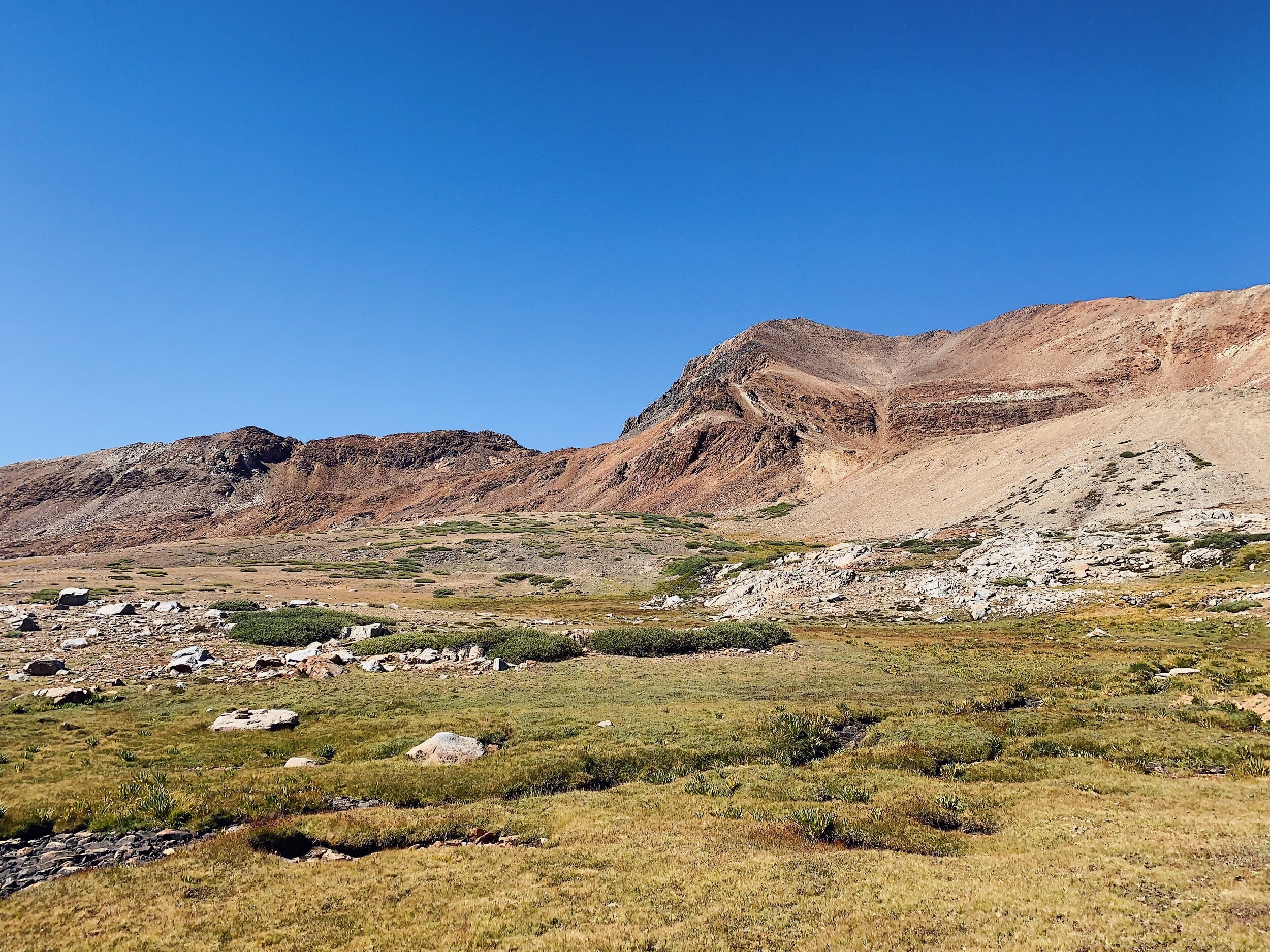
After our water break, we started the afternoon climb. It was kind of a slog in the woods for the first part, but once we got to the Bench Lake Trail turn-off, the views started getting great & we were in a really nice meadow! It was a bummer though: I remember these meadows being super green and lush on the PCT, but they were all yellow/ Golden now. It’s still nice, but I prefer the green & wildflowers. We kept gradually climbing through the meadows and past some smaller lakes and the views of the mountains behind us, where we just were, were astounding. It was so crazy seeing how tiny Mather Pass looked in the distance though! It seems so foreboding when you’re standing right under it.
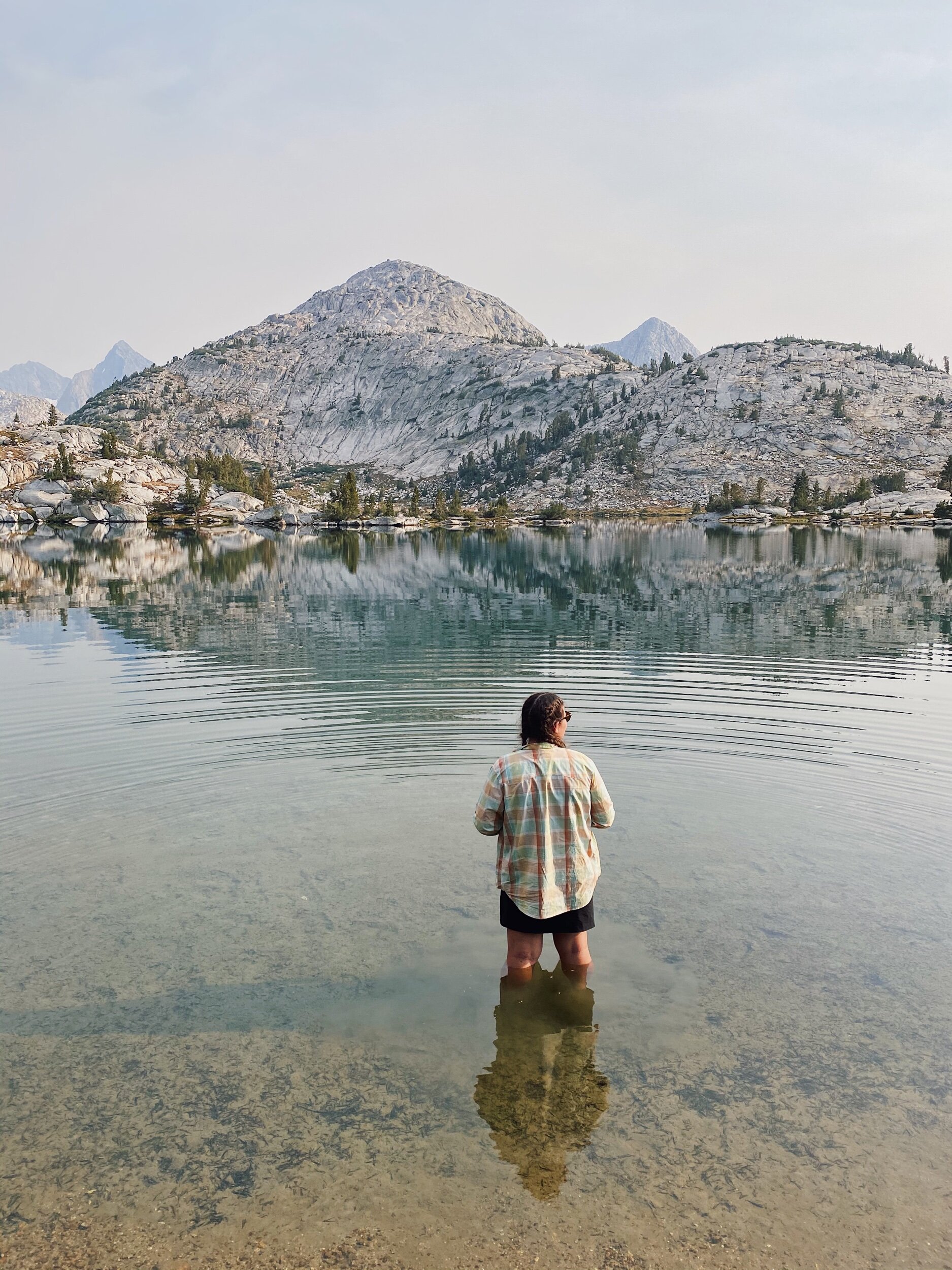
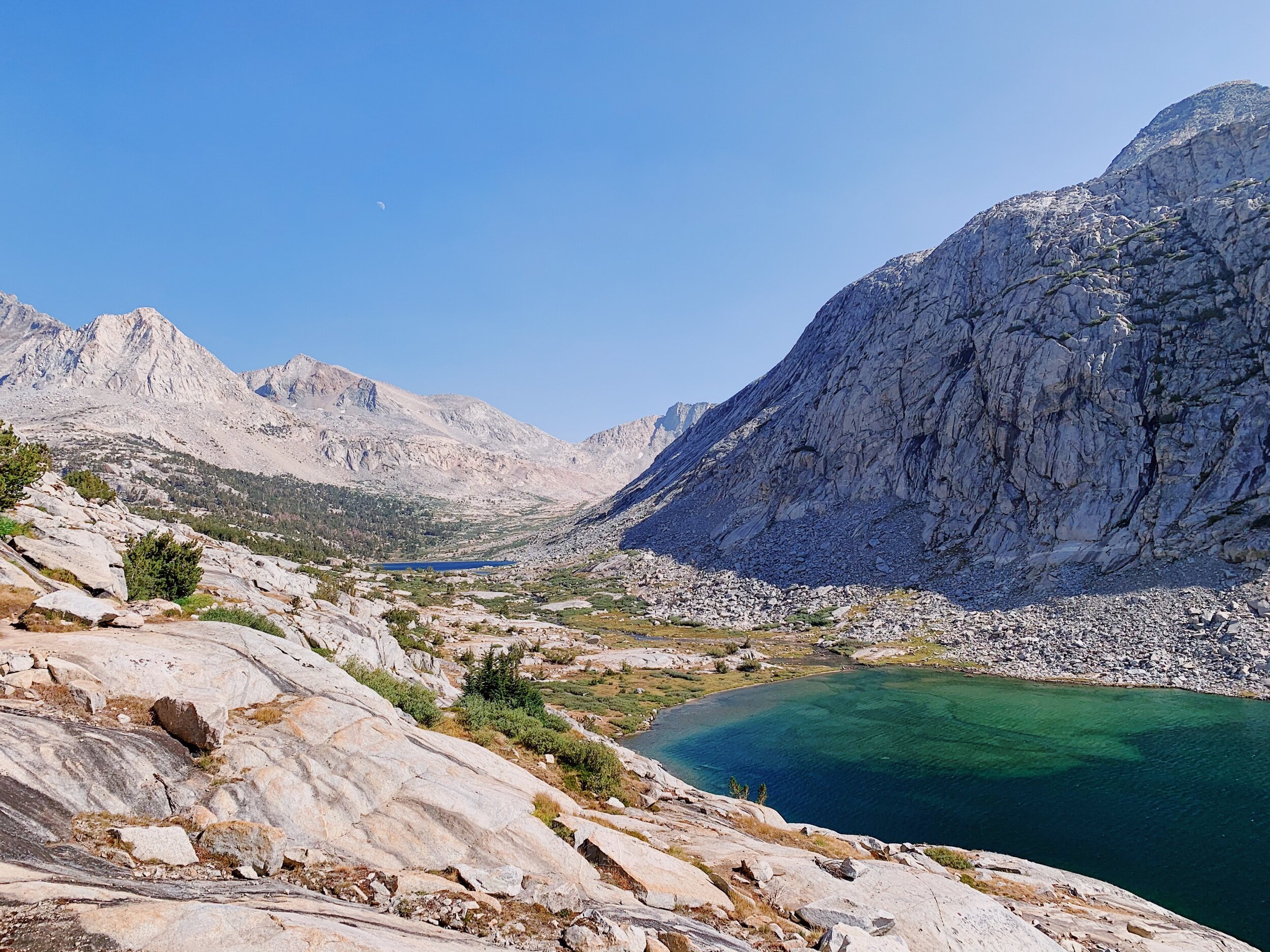
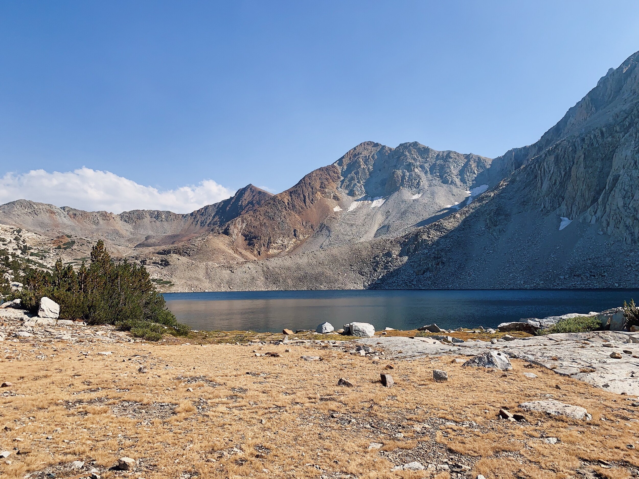
Eventually, we made it to Lake Marjorie, and camped near Bob & Megan and two other groups. We were super hot and tired and immediately went to the lake to get water and soak our feet. I was thinking about swimming, but the water was freezing and it was late in the day, so no time to get warm again. Soaking was good enough.
We made dinner early since we could see the sun starting to go behind the mountain and didn’t want a repeat of last night. We ended up staying outside the tent for a bit though as we were talking with our neighbors, who were super friendly. The father-son duo (Steve & David) was doing the Big SEKI Loop, and the solo hiker, Walt from Burlingame, is going NOBO! They were all so nice, and it was fun talking with them. But once it got cold, it was time for bed! We got ready quickly and decided to sleep in a little bit tomorrow: wake up time is 6:00 am!
JMT DAY 19 - 8.27.20
Lake Marjorie to Woods Creek Suspension Bridge (mi 168.5) // 9 miles +1,000 -3,700 ft
Today was a fairly uneventful day. But it was freezing cold this morning! We had a tiny bit of frost on our rain fly and saw ice on rocks down by the lake. Since we didn’t have *as* far to walk today, we slept in a little and started hiking around 7 am, after all of our camp buddies had left, which is usually the opposite for us! Mom didn’t get a lot of sleep last night so she was really tired, and still second guessing being able to go all the way. I still have faith in her, and hopefully these next two shorter mileage days will be more restful.

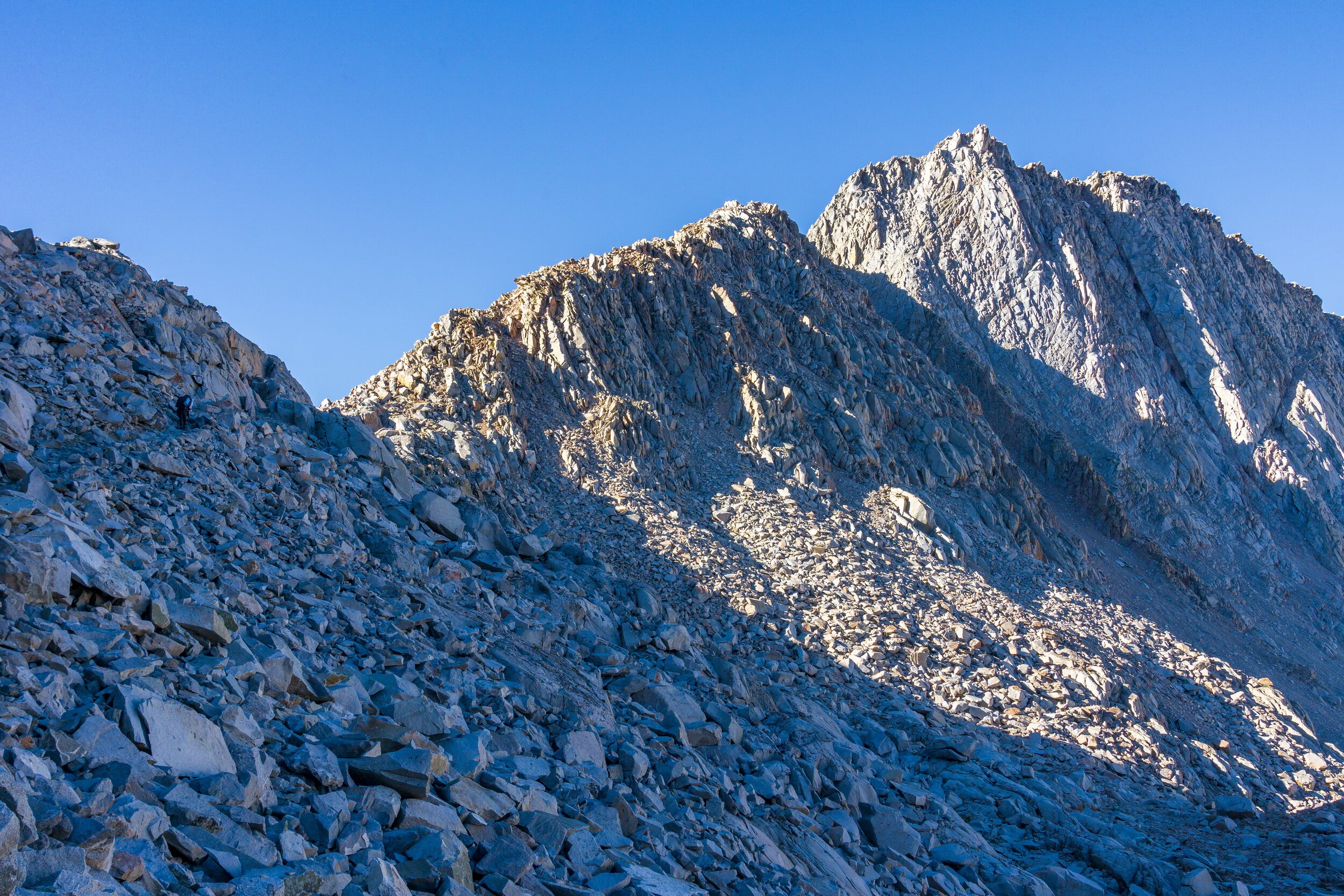
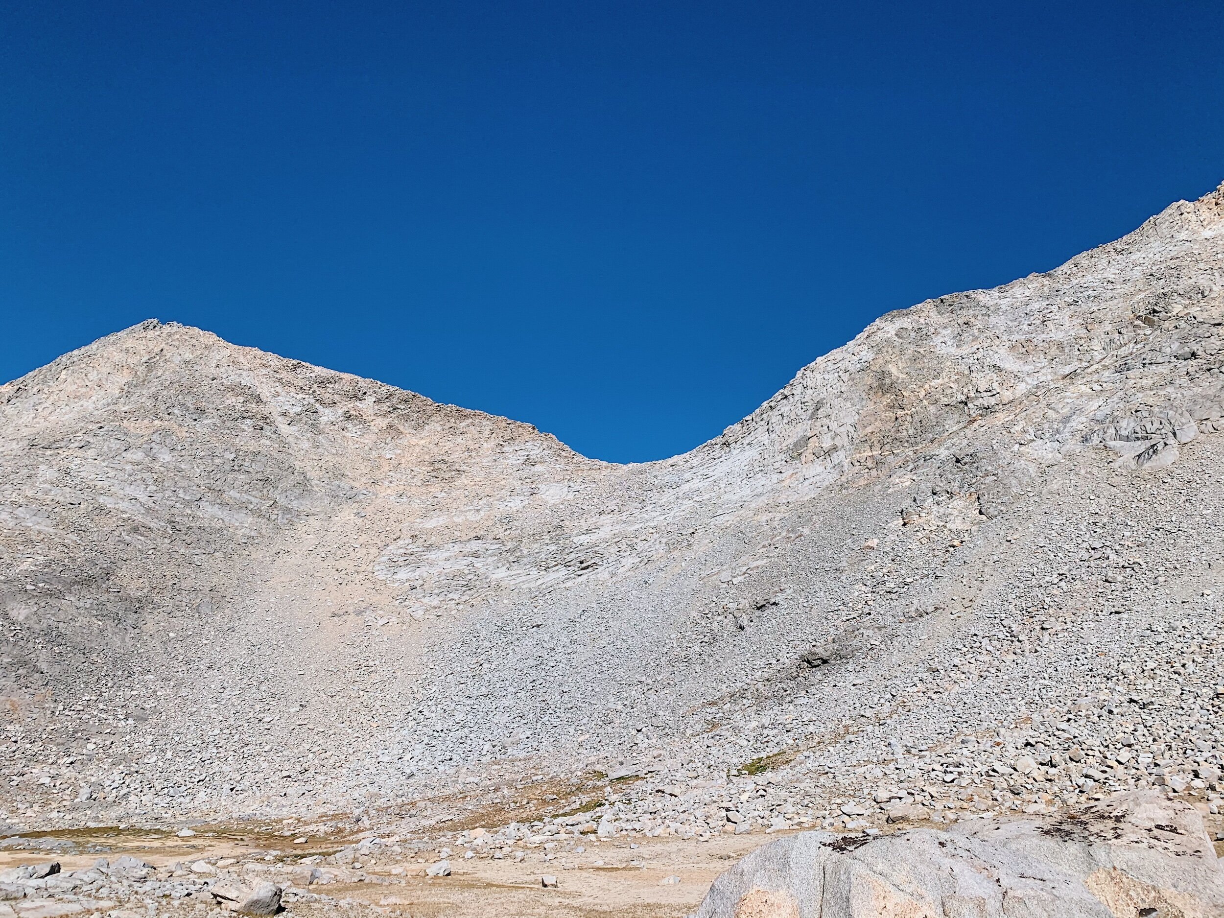
We immediately started climbing Pinchot Pass, which seems like it should be easy, but it is surprisingly steep in places. We eventually made it up after many rest breaks and enjoyed the view. A couple came up on the other side shortly after and told us they were doing a trip from Kearsarge - Bishop Pass. Same trip my coworker and his wife did last month! We told them about the trail ahead and it also turns out they lived in our hometown for a while! Small world! Another SOBO couple came up after us and we all chatted and had a snack before starting to go down. The descent wasn’t too bad at first, but seemed to go on, and on. It felt like time was passing but the miles weren’t coming. It was also very dry and getting very hot.


When we finally got to the first running creek, it was lunch time, so we found some shade and ate and filtered water. Mom tried to eat her own beans & cheese but couldn’t bear it, so I ended up eating two portions, which at the time was great, but as we started hiking, it just made me exhausted and I wanted to lay down and sleep off the full stomach. I remember hating this part of the trail on the PCT - it was hot and steep and not fun with a full resupply, and honestly, it wasn’t great going down, either. I put on some podcasts to help me get through the lethargy and monotonous descent.

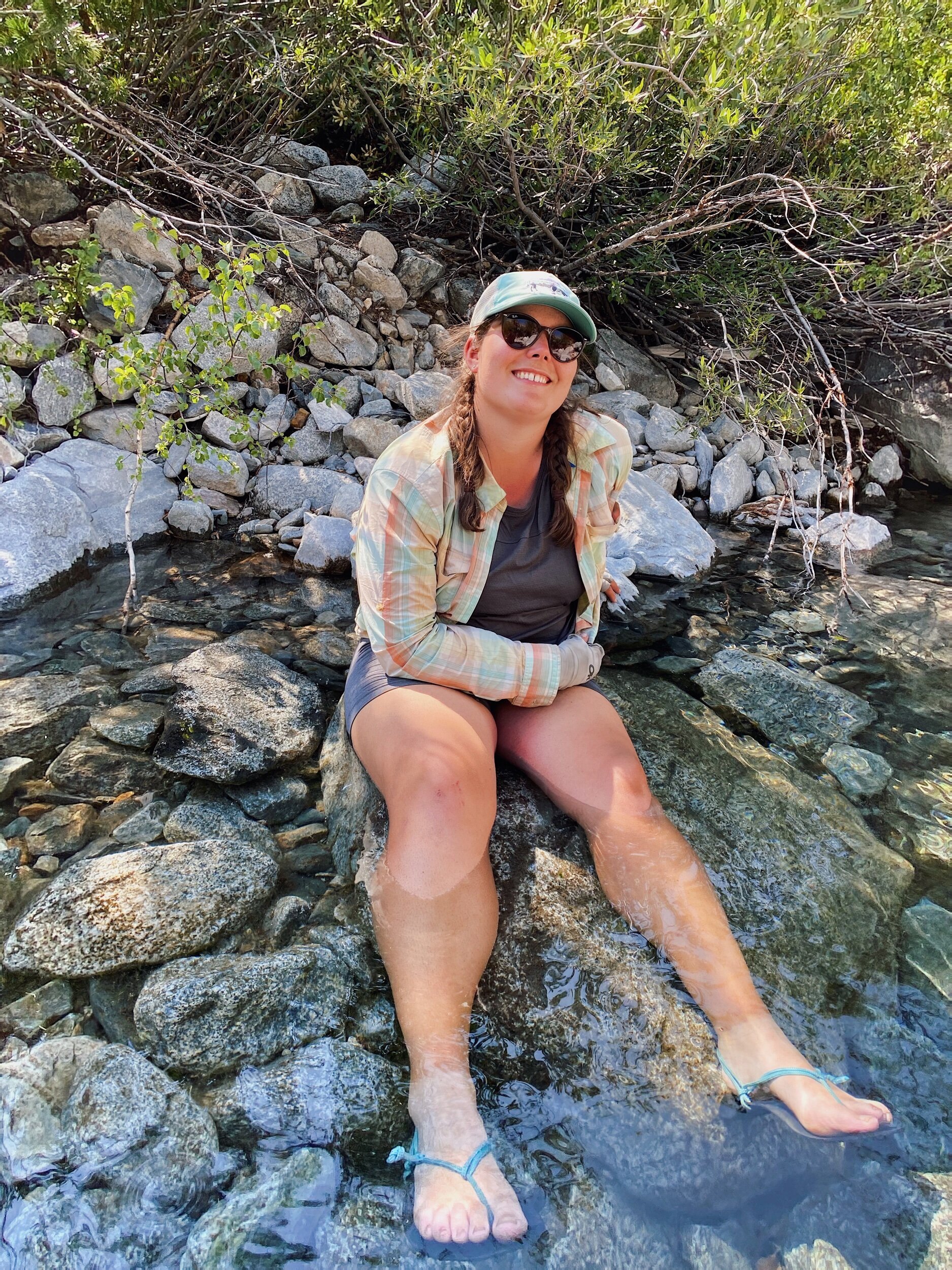
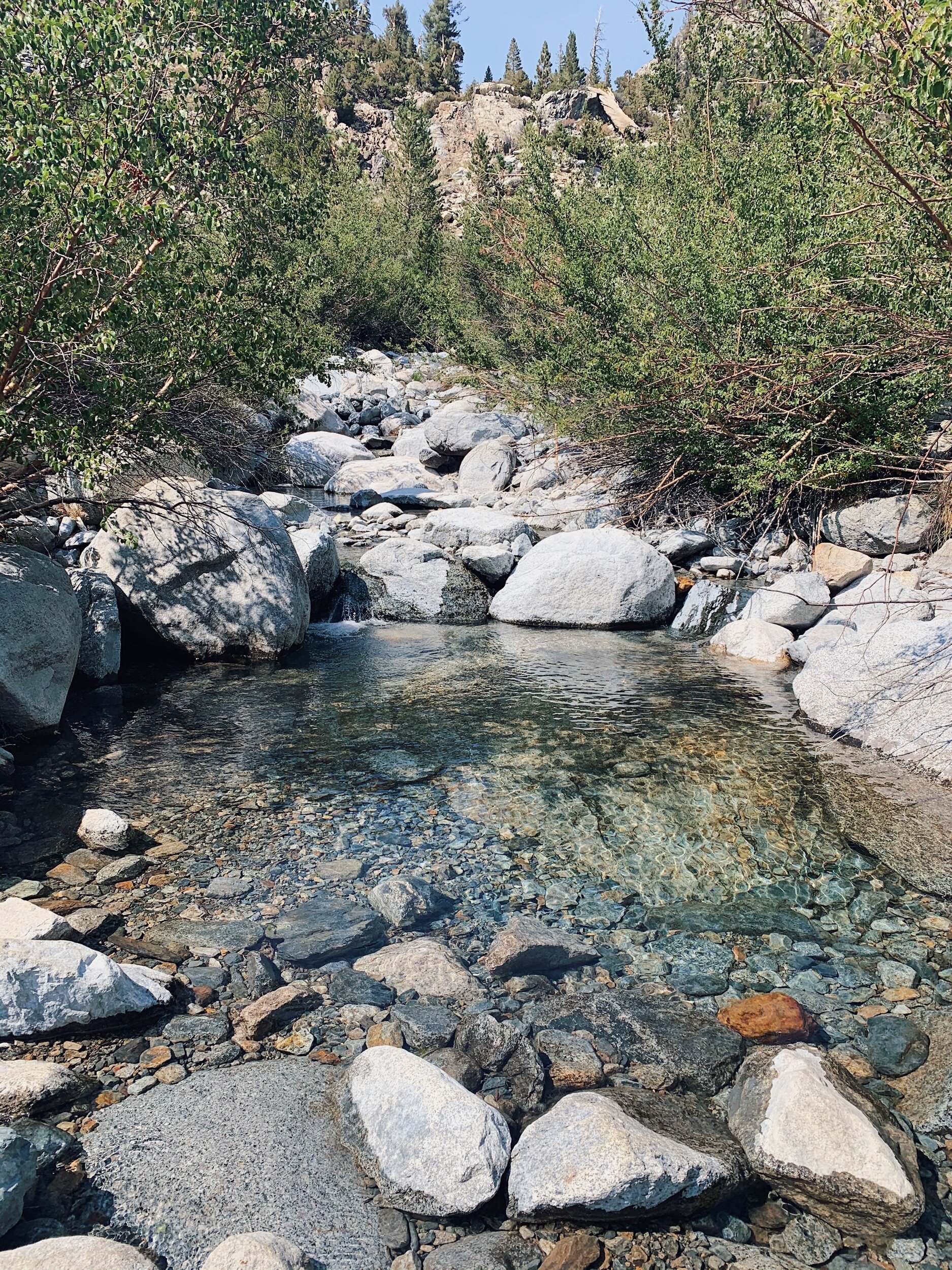

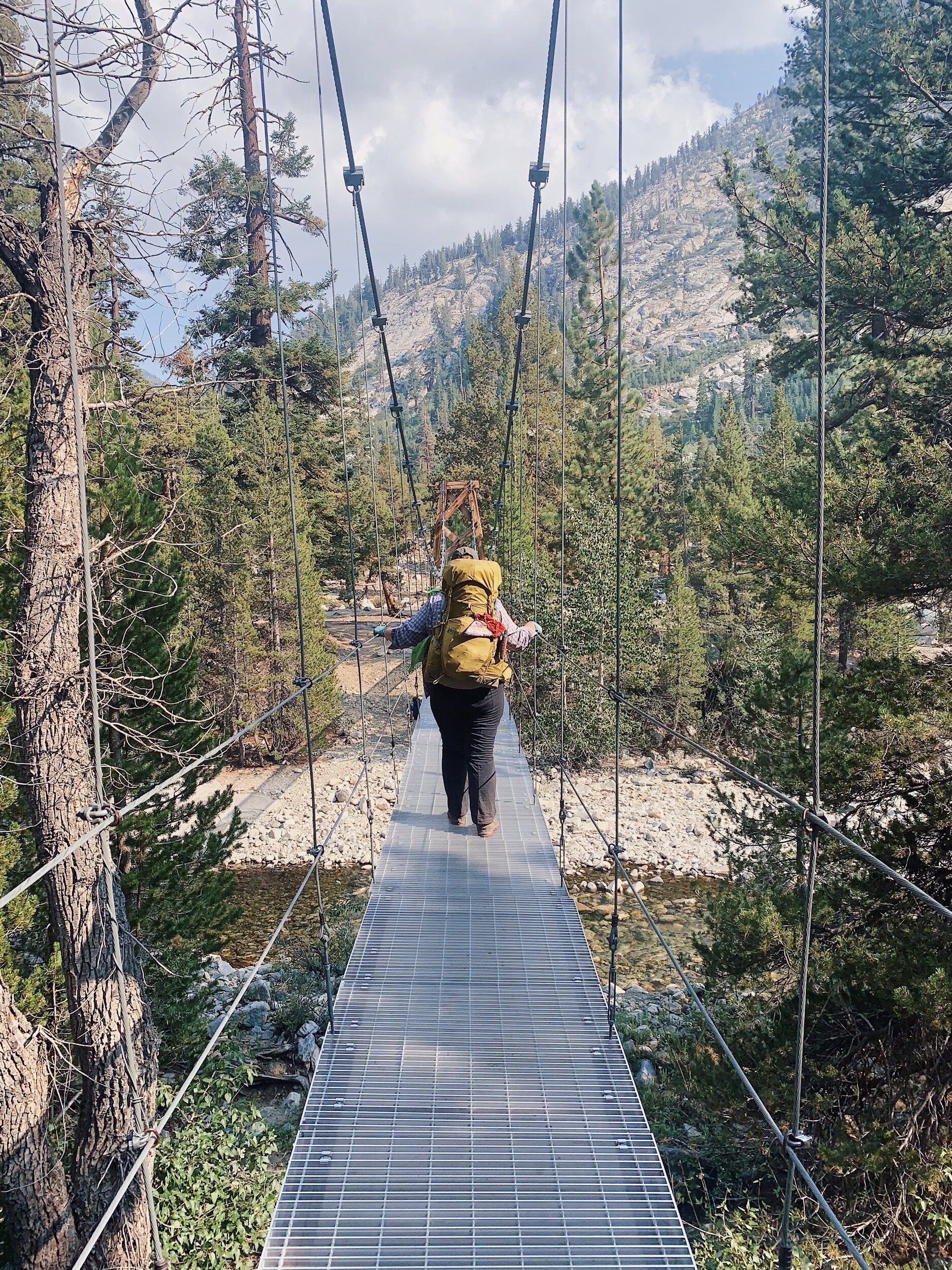
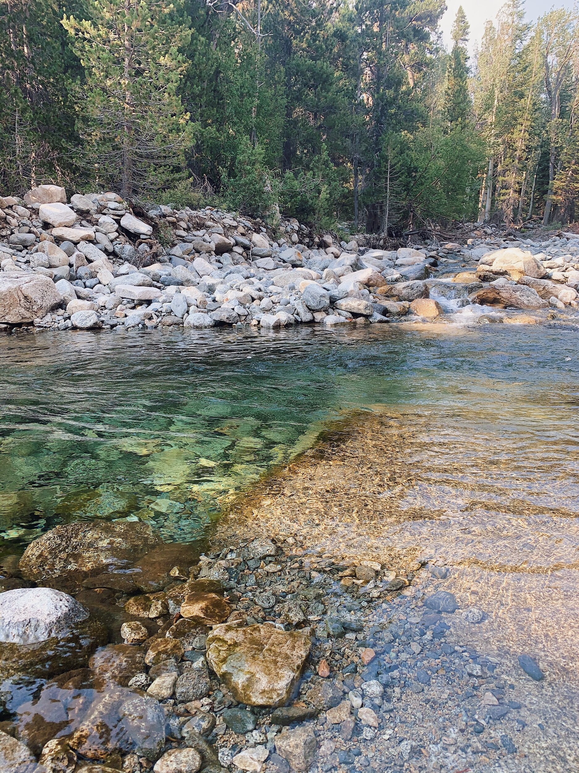
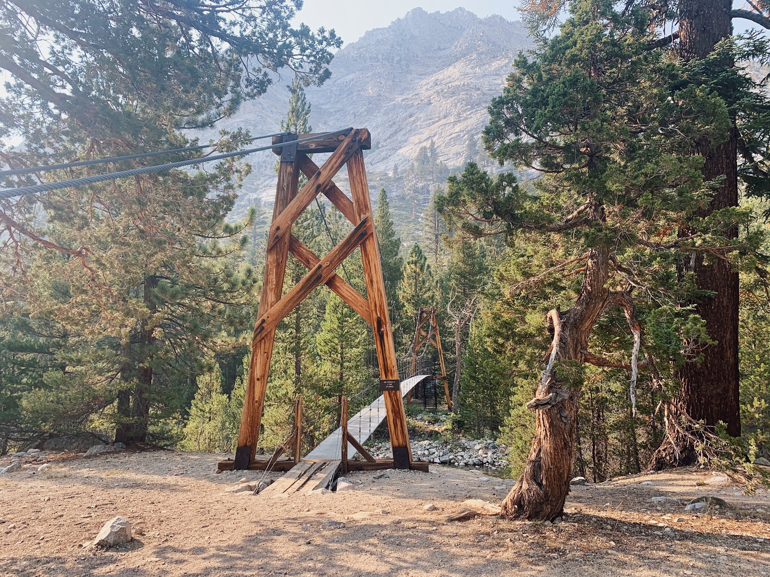
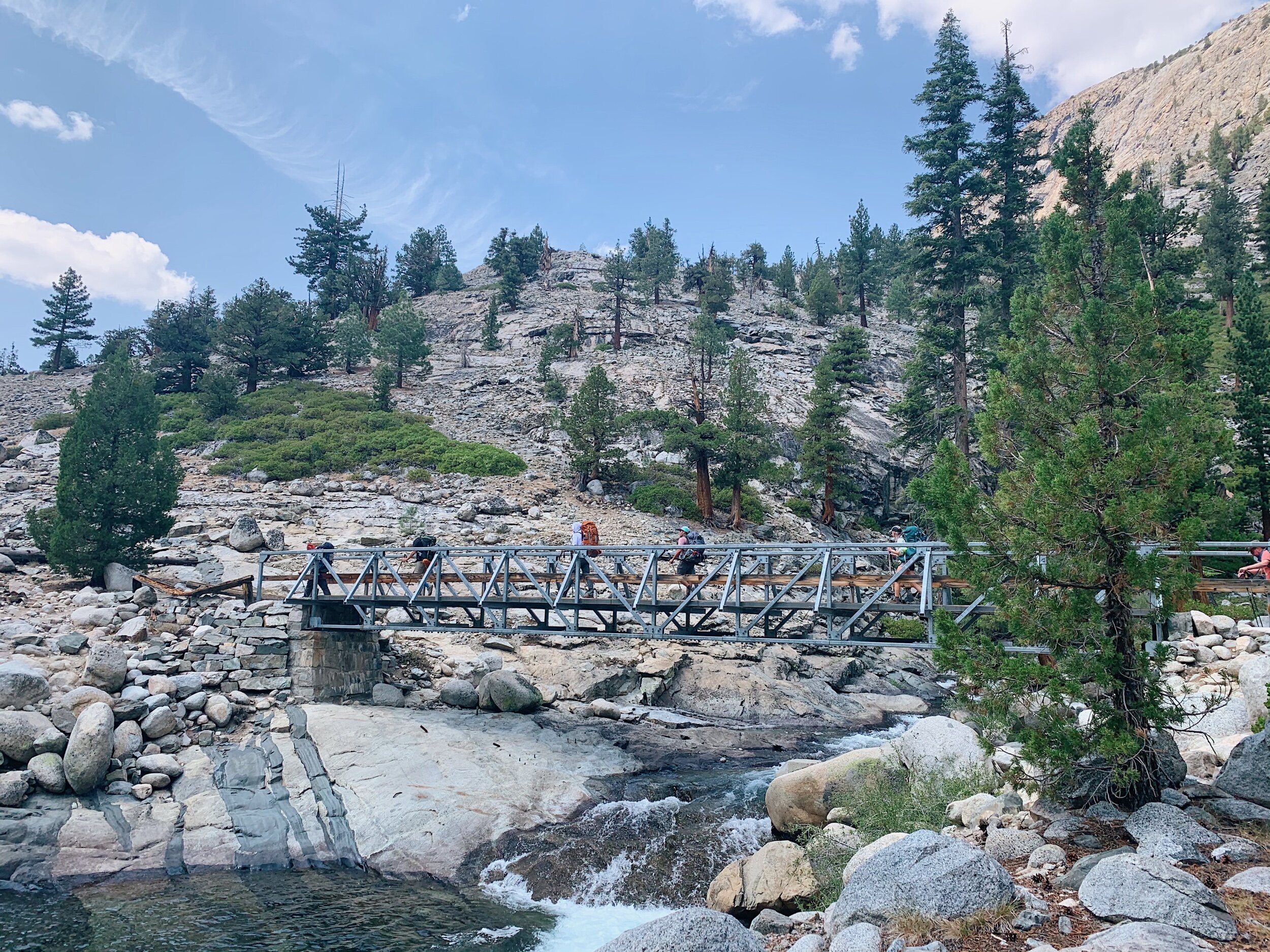
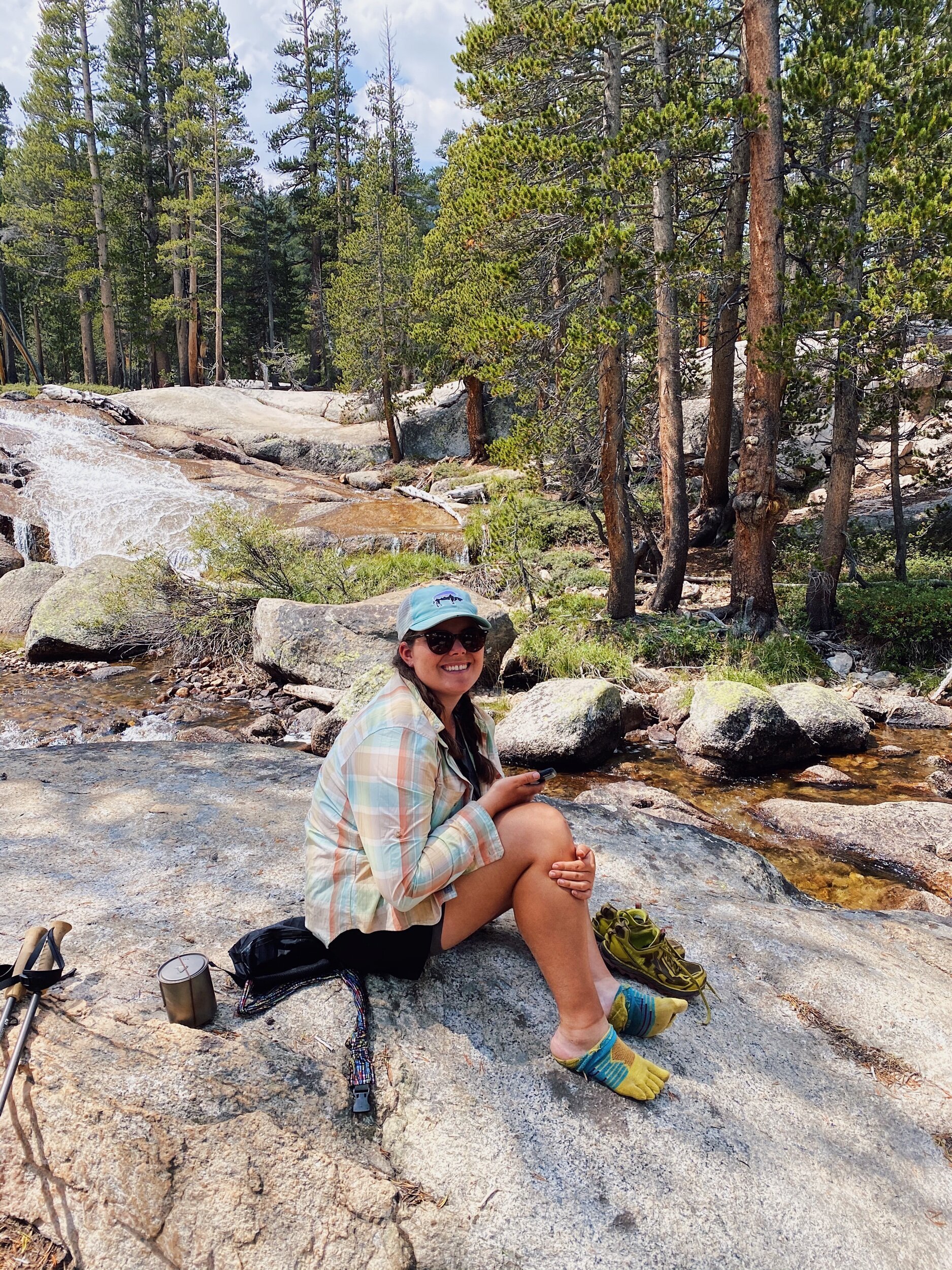
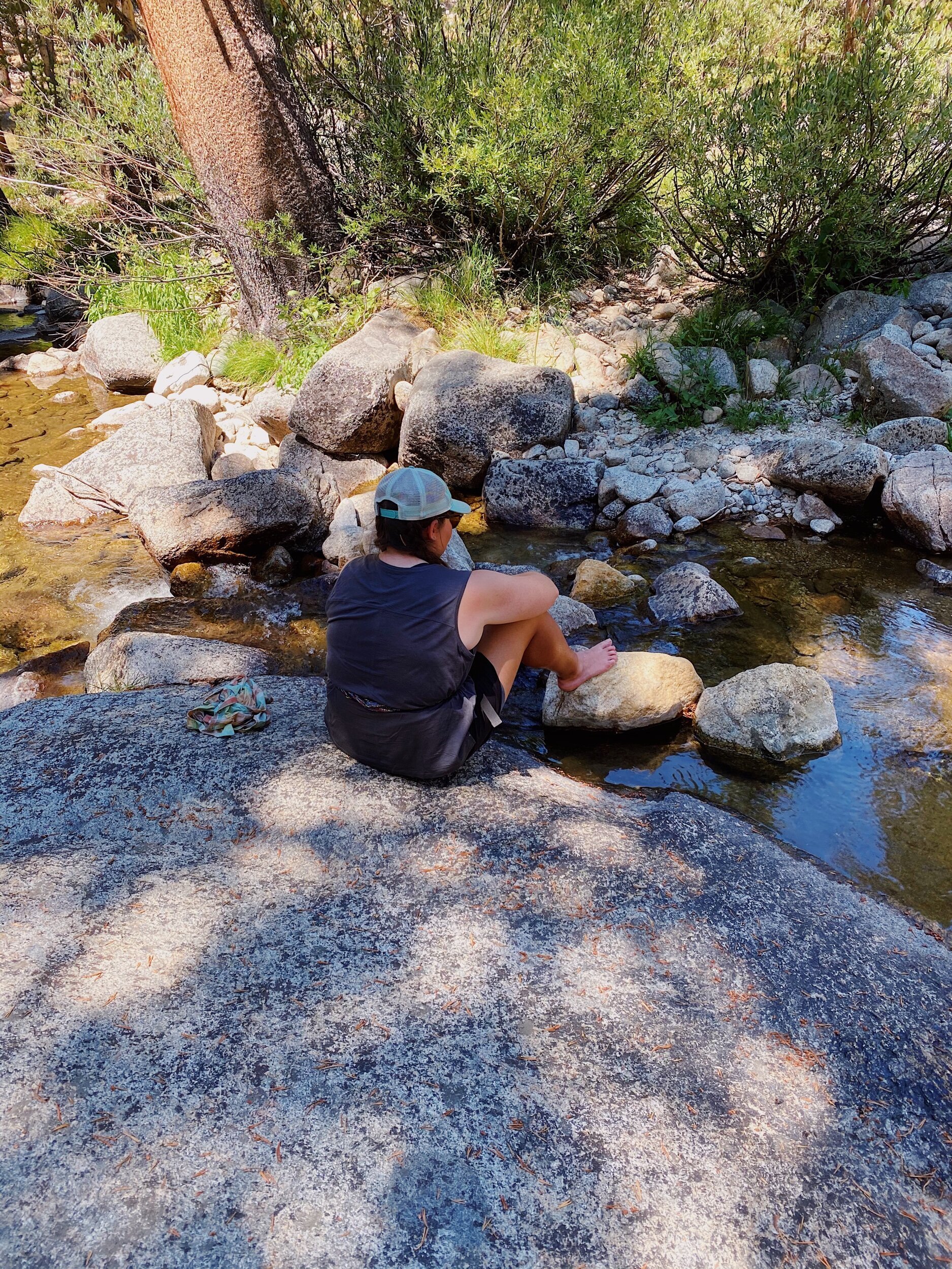
After a long while, we came across the most beautiful creek with big white rocks and crystal clear water. It was amazing and I almost thought I was having a hallucination. Since I was so beat and mom was happy to stop, and we saw a nice pool further upstream, we decided to soak our feet and relax for a little bit. Turns out, that cold water was exactly what I needed to get my system going again. After the soak, we only had another mile and a half to camp, and it seemed to go by much faster. Soon enough, we were at the suspension bridge, which freaked Mom out a little bit. I took her poles and she went across first, then me.
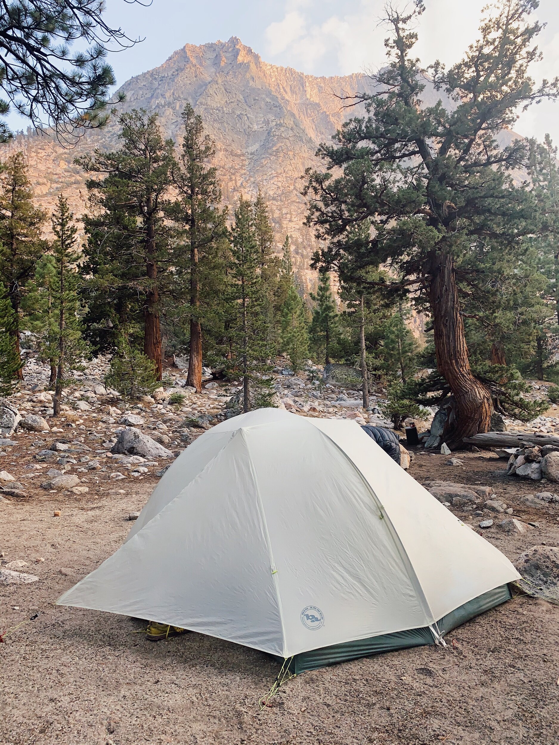
We found a nice tent pad on the other side near a few other backpackers we met during the day. We didn’t get into camp as early as we thought we would, but we still had time to relax and go down to the creek and properly get ready for bed before eating dinner, and lots of laying down and chilling time before going to sleep.