

Hike Andesite Peak in Tahoe National Forest
This was one of my first hikes in the Tahoe area, and definitely left me wanting more. I love the Northern California mountains: the dirt, the pine trees, the electric green lichen on the tree bark: just so pretty!

STATS
Date: 10.8.16
Miles: 4 mi
Elevation Profile: +/- 1,000 ft
Trail Type: Out-and-Back
Cost: Free
Considerations: The last push to the top of the peak requires some Class 2 scrambling.

THE HIKE
The trailhead for this hike has these coordinates: 39°20'30.5"N 120°20'53.8"W. The coordinates are for the beginning of a dirt road, which you can technically drive to the actual trailhead, but requires a 4WD high clearance vehicle. It is much easier to park at the large dirt area than to drive to the official trailhead.
When you park your car, you'll notice the nice trail map the forest service provides. So many trails to choose from!

Starting on the dirt trail, you'll almost immediately come to a junction that is signed for snow use. You'll want to stay to the right (don't follow the snowmobile icon).

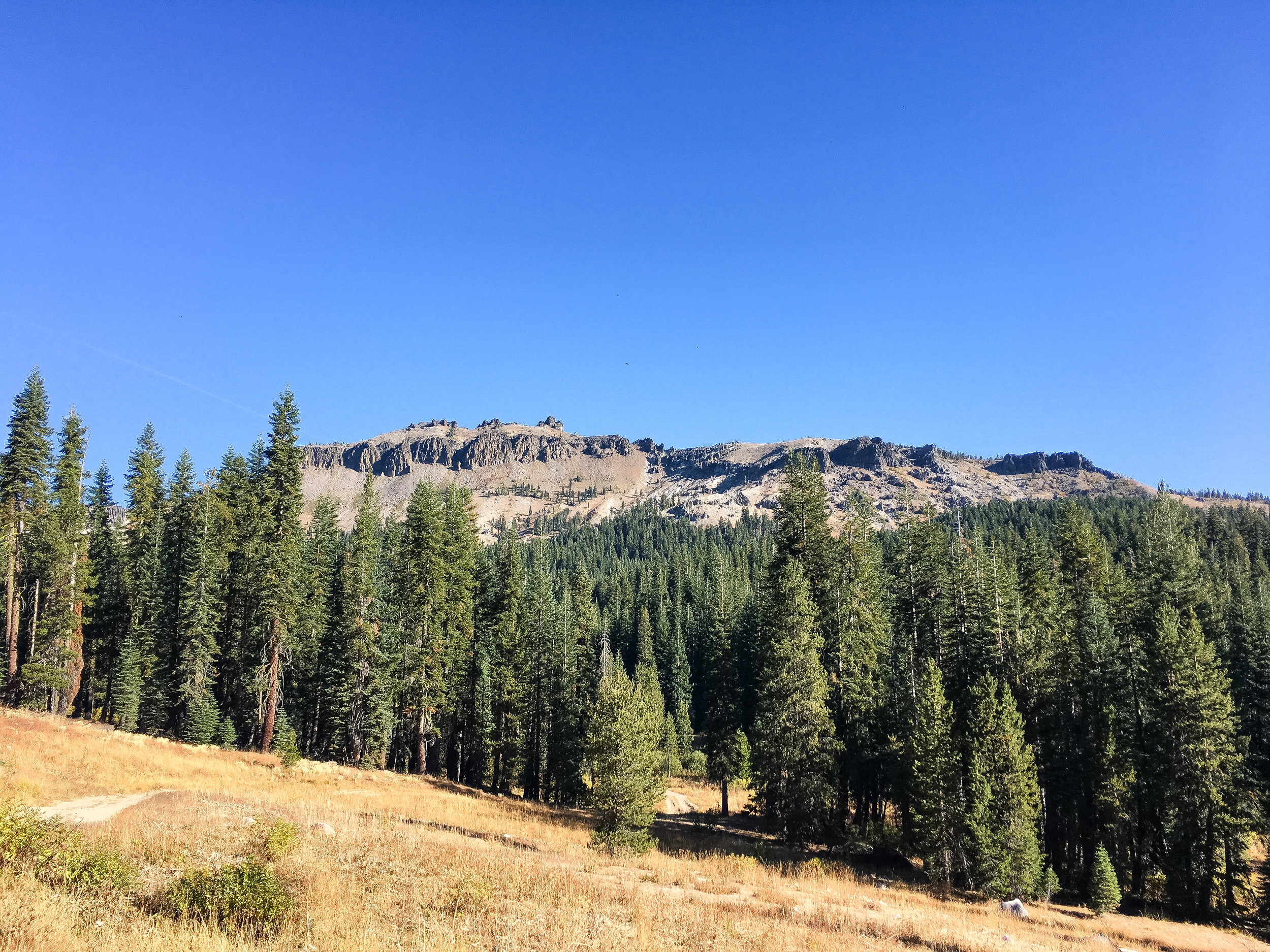
There are sooo many pine trees here! Love them! Eventually, they will thin out a little bit, and the trail will open up to a large meadow with an amazing view of Castle Peak - which is on my list to summit!
When you reach this trail junction, you continue straight towards the Hole in the Ground trail.

Continue on until you see a large clearing to your left. There is another trail map like in the first photo off on the left, which is where the official trailhead for the Hole in the Ground trail is. Be aware that this is also a popular mountain biking trail, so stay alert, even though hikers have the right-of-way, there are many blind turns so be aware!
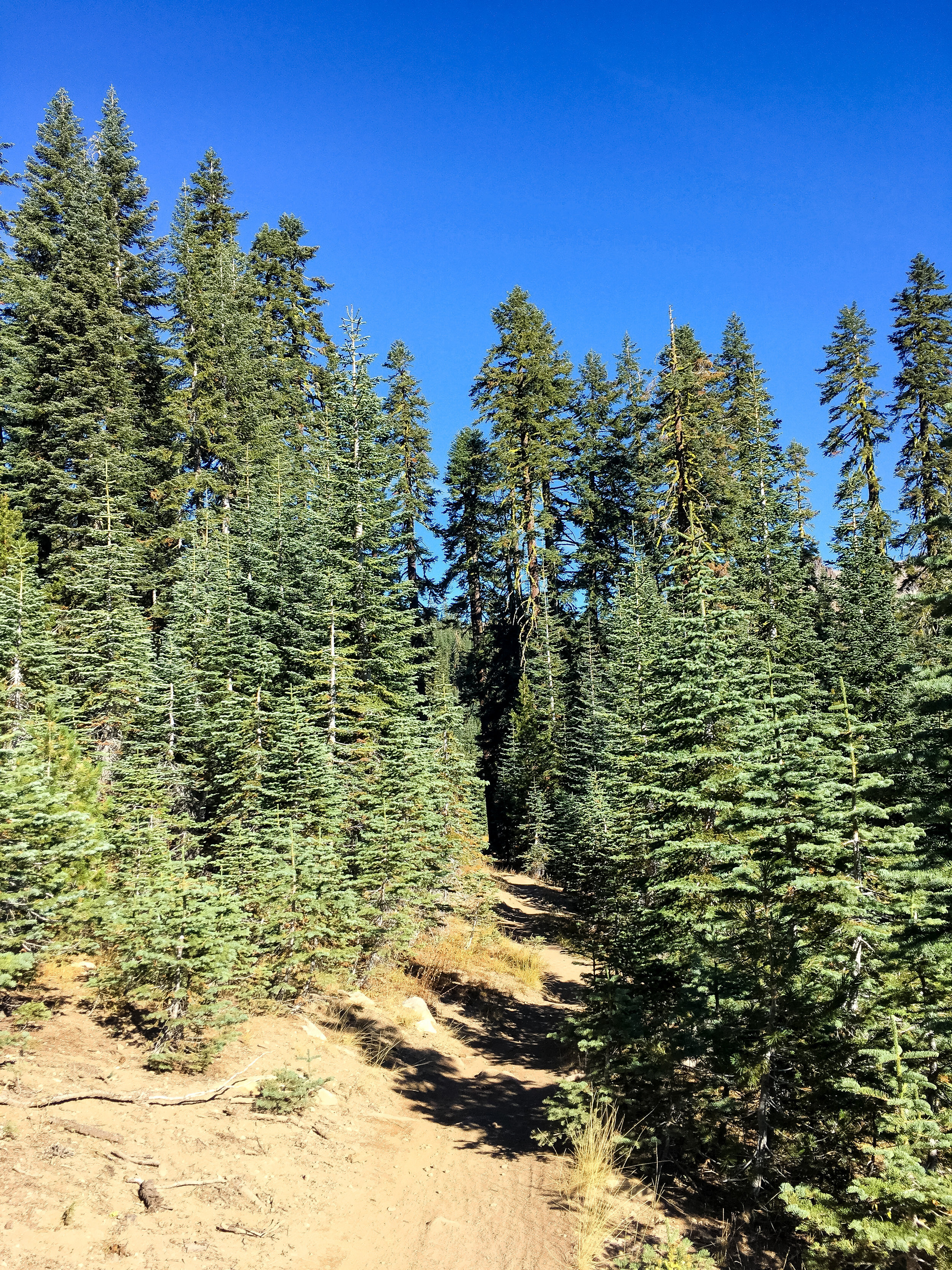
The views disappear as you head into the trees, but its great to have some shade and shelter up the switchbacks.
Every once in a while, you'll snag a beautiful view of Castle Peak!

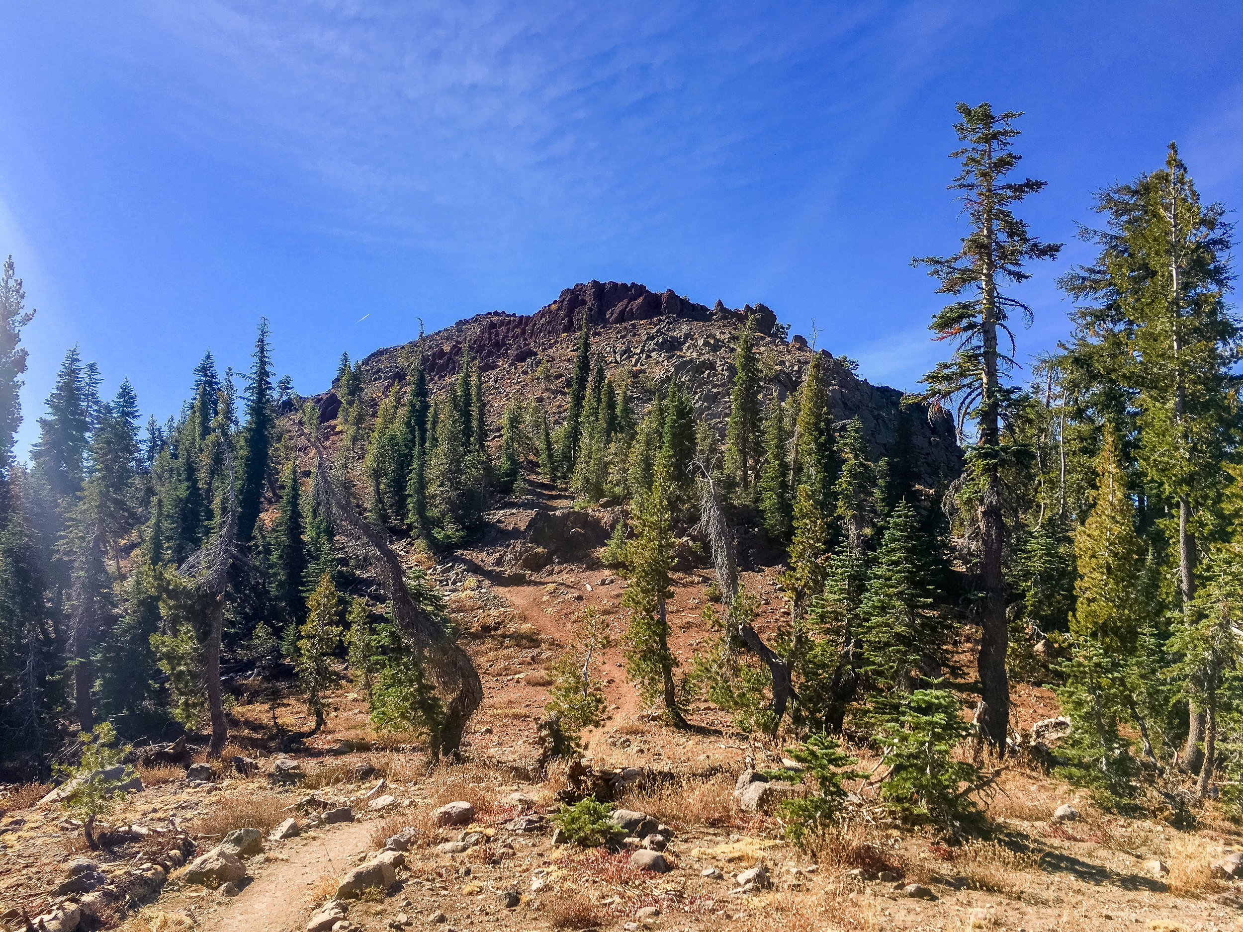
This is definitely a head-down, grind up the mountain kind of hike, but once you break the tree line, pay attention so you don't miss the un-signed turn to Andesite!

Make sure you look over your shoulder, because the turn to Andesite is a sharp left, almost going backwards! There's a little bit of trail leading to the base of the peak, then its time to scramble up to the top! Full disclosure: this was the first time I scrambled up a mountain peak, so its definitely do-able as a beginner! Plus, scrambling is fun.
The views from the top are amazing, and there's plenty of room to find your own spot on the top and admire the beauty while snacking on lunch. :)


After exploring the top and taking pictures, it was time to head down. Not surprisingly, the hike down took about 30 minutes-much quicker than the way up!
I loved this hike, and it inspired me to explore more of the trails up here and get to the top of Castle Peak someday!